phase i environmental site assessment - gaea … · 2013-01-25 · phase i environmental site...
TRANSCRIPT
PHASE I
ENVIRONMENTAL SITE ASSESSMENT
ACME Gas
55 Garden Street Whitby, Ontario, L1N 5E3
Prepared for
ACME Oil and Gas Ltd.
Prepared by
GAEA Technologies Ltd.
87 Garden Street Whitby, Ontario
L1N 9E7
December 8, 2004 2004-678
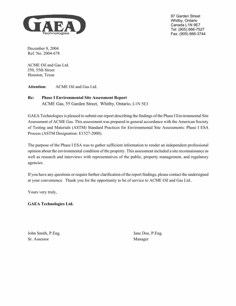
87 Garden Street Whitby, Ontario Canada L1N 9E7 Tel: (905) 666-7527 Fax: (905) 666-3744
December 8, 2004 Ref. No. 2004-678 ACME Oil and Gas Ltd. 350, 55th Street Houston, Texas Attention: ACME Oil and Gas Ltd.
Re: Phase I Environmental Site Assessment Report ACME Gas, 55 Garden Street, Whitby, Ontario, L1N 5E3 GAEA Technologies is pleased to submit our report describing the findings of the Phase I Environmental Site Assessment of ACME Gas. This assessment was prepared in general accordance with the American Society of Testing and Materials (ASTM) Standard Practices for Environmental Site Assessments: Phase I ESA Process (ASTM Designation: E1527-2000). The purpose of the Phase I ESA was to gather sufficient information to render an independent professional opinion about the environmental condition of the property. This assessment included a site reconnaissance as well as research and interviews with representatives of the public, property management, and regulatory agencies. If you have any questions or require further clarification of the report findings, please contact the undersigned at your convenience. Thank you for the opportunity to be of service to ACME Oil and Gas Ltd.. Yours very truly, GAEA Technologies Ltd. John Smith, P.Eng. Jane Doe, P.Eng. Sr. Assessor Manager
Client Date Extended Phase I Environmental Site Assessment Project Address Page iii
TABLE OF CONTENTS
TABLE OF CONTENTS........................................................................................................................... iii EXECUTIVE SUMMARY......................................................................................................................... 6 1.0 INTRODUCTION ......................................................................................................................... 7
1.1 Purpose ...................................................................................................................................... 7 1.2 Scope of Services ...................................................................................................................... 7 1.3 Significant Assumptions............................................................................................................ 7 1.4 Limitations and Exceptions ....................................................................................................... 7 1.5 User Reliance............................................................................................................................. 8
2.0 SITE DESCRIPTION .................................................................................................................... 8 2.1 Location and Legal Description ................................................................................................ 8 2.2 Current Property Use................................................................................................................. 8 2.3 Structures and Improvements .................................................................................................... 9 2.4 Adjoining Property Use............................................................................................................. 9
3.0 USER PROVIDED INFORMATION ........................................................................................... 9 3.1 Title Records ............................................................................................................................. 9 3.2 Environmental Liens or Activity and Use Limitations.............................................................. 9 3.3 Specialized Knowledge ........................................................................................................... 10 3.4 Owner, Property Manager and Occupant ................................................................................ 10 3.5 Reason for Performing Phase 1 ESA....................................................................................... 10 3.6 Prior Environmental Reports ................................................................................................... 10 3.7 Other ........................................................................................................................................ 10
4.0 RECORDS REVIEW................................................................................................................... 10 4.1 Historical Use Information ...................................................................................................... 10
4.1.1 City Directories ................................................................................................................... 11 4.1.2 Aerial Photographs.............................................................................................................. 11 4.1.3 Fire Insurance Maps ............................................................................................................ 12 4.1.4 Additional Historical Use Sources ...................................................................................... 12 4.1.5 Historical Use of Adjoining Properties ............................................................................... 12
4.2 Standard Environmental Records ............................................................................................ 13 4.2.1 Federal Environmental Records .......................................................................................... 13 4.2.2 State Environmental Records .............................................................................................. 15 4.2.3 Local Environmental Records............................................................................................. 16
4.3 Physical Setting ....................................................................................................................... 17 4.3.1 Topography ......................................................................................................................... 17 4.3.2 Regional Geography............................................................................................................ 17 4.3.3 Soil Survey .......................................................................................................................... 17 4.3.4 Hydrogeology...................................................................................................................... 17 4.3.5 Flood Zone Information ...................................................................................................... 18 4.3.6 Wetland Information ........................................................................................................... 18 4.3.7 Other.................................................................................................................................... 18
5.0 SITE RECONNAISSANCE ........................................................................................................ 19 5.1 General Property Conditions ................................................................................................... 19
5.1.1 Building Heating and Cooling ............................................................................................ 19 5.1.2 Solid Waste Disposal .......................................................................................................... 19 5.1.3 Process Wastewater Disposal.............................................................................................. 19 5.1.4 Sewage Discharge ............................................................................................................... 19 5.1.5 Surface Water Drainage ...................................................................................................... 20 5.1.6 Wells and Cisterns............................................................................................................... 20
Client Date Extended Phase I Environmental Site Assessment Project Address Page iv
5.1.7 Additional Property Conditions .......................................................................................... 20
5.2 Environmental Conditions....................................................................................................... 20 5.2.1 Hazardous Material Storage, Use and Handling ................................................................. 20 5.2.2 Spill and Stain Areas ........................................................................................................... 20 5.2.3 Polychlorinated Biphenyls (PCBs) ..................................................................................... 21 5.2.4 Asbestos Containing Materials (ACMs) ............................................................................. 21 5.2.5 Aboveground Storage Tanks (ASTs) .................................................................................. 21 5.2.6 Underground Storage Tanks (USTs)................................................................................... 22 5.2.7 Landfills .............................................................................................................................. 22 5.2.8 Pits, Sumps, Catch Basins and Lagoons ............................................................................. 22 5.2.9 Radon .................................................................................................................................. 22 5.2.10 Lead ................................................................................................................................ 23 5.2.11 Other Environmental Conditions .................................................................................... 23
6.0 INTERVIEWS ............................................................................................................................. 24 7.0 FINDINGS AND CONCLUSIONS ............................................................................................ 25
7.1 On-Site Environmental Concerns ............................................................................................ 25 7.2 Off-Site Environmental Concerns ........................................................................................... 25 7.3 Conclusions ............................................................................................................................. 25
8.0 RECOMMENDATIONS............................................................................................................. 25 9.0 CLOSURE ................................................................................................................................... 26 10.0 REFERENCES ............................................................................................................................ 27

Client Date Extended Phase I Environmental Site Assessment Project Address Page 5
Client Date Extended Phase I Environmental Site Assessment Project Address Page 6
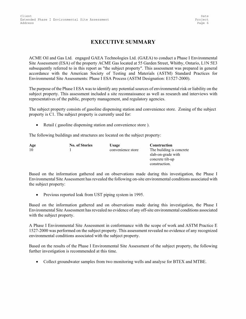
EXECUTIVE SUMMARY ACME Oil and Gas Ltd. engaged GAEA Technologies Ltd. (GAEA) to conduct a Phase I Environmental Site Assessment (ESA) of the property ACME Gas located at 55 Garden Street, Whitby, Ontario, L1N 5E3 subsequently referred to in this report as "the subject property". This assessment was prepared in general accordance with the American Society of Testing and Materials (ASTM) Standard Practices for Environmental Site Assessments: Phase I ESA Process (ASTM Designation: E1527-2000). The purpose of the Phase I ESA was to identify any potential sources of environmental risk or liability on the subject property. This assessment included a site reconnaissance as well as research and interviews with representatives of the public, property management, and regulatory agencies. The subject property consists of gasoline dispensing station and convenience store. Zoning of the subject property is C1. The subject property is currently used for:
• Retail ( gasoline dispensing station and convenience store ). The following buildings and structures are located on the subject property: Age No. of Stories Usage Construction 10 1 convenience store The building is concrete
slab-on-grade with concrete tilt-up construction.
Based on the information gathered and on observations made during this investigation, the Phase I Environmental Site Assessment has revealed the following on-site environmental conditions associated with the subject property:
• Previous reported leak from UST piping system in 1995. Based on the information gathered and on observations made during this investigation, the Phase I Environmental Site Assessment has revealed no evidence of any off-site environmental conditions associated with the subject property. A Phase I Environmental Site Assessment in conformance with the scope of work and ASTM Practice E 1527-2000 was performed on the subject property. This assessment revealed no evidence of any recognized environmental conditions associated with the subject property. Based on the results of the Phase I Environmental Site Assessment of the subject property, the following further investigation is recommended at this time.
• Collect groundwater samples from two monitoring wells and analyse for BTEX and MTBE.
Client Date Extended Phase I Environmental Site Assessment Project Address Page 7
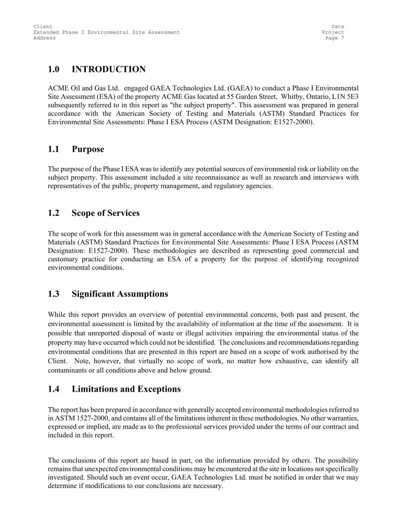
1.0 INTRODUCTION ACME Oil and Gas Ltd. engaged GAEA Technologies Ltd. (GAEA) to conduct a Phase I Environmental Site Assessment (ESA) of the property ACME Gas located at 55 Garden Street, Whitby, Ontario, L1N 5E3 subsequently referred to in this report as "the subject property". This assessment was prepared in general accordance with the American Society of Testing and Materials (ASTM) Standard Practices for Environmental Site Assessments: Phase I ESA Process (ASTM Designation: E1527-2000).
1.1 Purpose The purpose of the Phase I ESA was to identify any potential sources of environmental risk or liability on the subject property. This assessment included a site reconnaissance as well as research and interviews with representatives of the public, property management, and regulatory agencies.
1.2 Scope of Services The scope of work for this assessment was in general accordance with the American Society of Testing and Materials (ASTM) Standard Practices for Environmental Site Assessments: Phase I ESA Process (ASTM Designation: E1527-2000). These methodologies are described as representing good commercial and customary practice for conducting an ESA of a property for the purpose of identifying recognized environmental conditions.
1.3 Significant Assumptions While this report provides an overview of potential environmental concerns, both past and present, the environmental assessment is limited by the availability of information at the time of the assessment. It is possible that unreported disposal of waste or illegal activities impairing the environmental status of the property may have occurred which could not be identified. The conclusions and recommendations regarding environmental conditions that are presented in this report are based on a scope of work authorised by the Client. Note, however, that virtually no scope of work, no matter how exhaustive, can identify all contaminants or all conditions above and below ground.
1.4 Limitations and Exceptions The report has been prepared in accordance with generally accepted environmental methodologies referred to in ASTM 1527-2000, and contains all of the limitations inherent in these methodologies. No other warranties, expressed or implied, are made as to the professional services provided under the terms of our contract and included in this report. The conclusions of this report are based in part, on the information provided by others. The possibility remains that unexpected environmental conditions may be encountered at the site in locations not specifically investigated. Should such an event occur, GAEA Technologies Ltd. must be notified in order that we may determine if modifications to our conclusions are necessary.
Client Date Extended Phase I Environmental Site Assessment Project Address Page 8
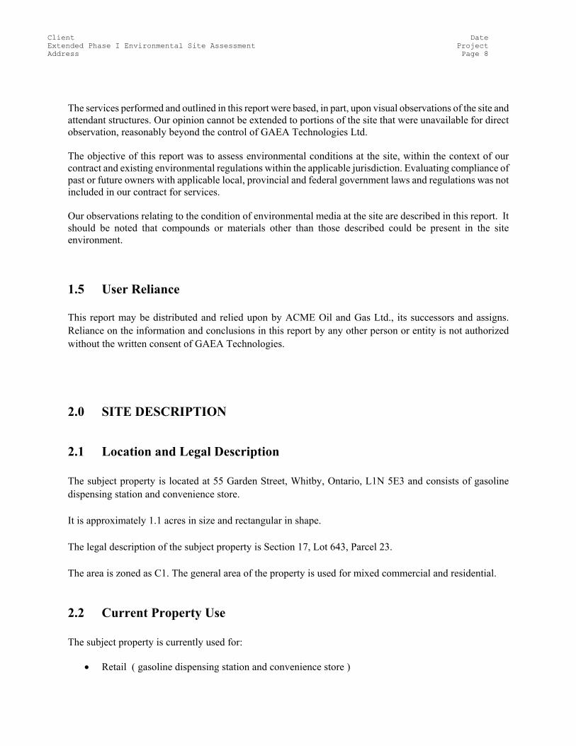
The services performed and outlined in this report were based, in part, upon visual observations of the site and attendant structures. Our opinion cannot be extended to portions of the site that were unavailable for direct observation, reasonably beyond the control of GAEA Technologies Ltd. The objective of this report was to assess environmental conditions at the site, within the context of our contract and existing environmental regulations within the applicable jurisdiction. Evaluating compliance of past or future owners with applicable local, provincial and federal government laws and regulations was not included in our contract for services. Our observations relating to the condition of environmental media at the site are described in this report. It should be noted that compounds or materials other than those described could be present in the site environment.
1.5 User Reliance This report may be distributed and relied upon by ACME Oil and Gas Ltd., its successors and assigns. Reliance on the information and conclusions in this report by any other person or entity is not authorized without the written consent of GAEA Technologies. 2.0 SITE DESCRIPTION
2.1 Location and Legal Description The subject property is located at 55 Garden Street, Whitby, Ontario, L1N 5E3 and consists of gasoline dispensing station and convenience store. It is approximately 1.1 acres in size and rectangular in shape. The legal description of the subject property is Section 17, Lot 643, Parcel 23. The area is zoned as C1. The general area of the property is used for mixed commercial and residential.
2.2 Current Property Use The subject property is currently used for:
• Retail ( gasoline dispensing station and convenience store )

Client Date Extended Phase I Environmental Site Assessment Project Address Page 9
2.3 Structures and Improvements The following buildings and structures are located on the subject property: Age No. of Stories Usage Construction 10 1 convenience store The building is concrete
slab-on-grade with concrete tilt-up construction.
2.4 Adjoining Property Use The current adjoining property uses are:
North: Warehouse ( one storey commercial warehouse )
South: Residential ( detached single family homes )
East: Residential ( five storey apartment building )
West: Retail ( strip mall )
The following recognized environmental concerns (RECs) were noted from a visual inspection of the adjoining properties:
North: None South: None East: None West: None
3.0 USER PROVIDED INFORMATION
3.1 Title Records A review of the chain-of-title information was not part of the scope of work for this assessment.
3.2 Environmental Liens or Activity and Use Limitations No environmental liens were reported by the Client.
Client Date Extended Phase I Environmental Site Assessment Project Address Page 10
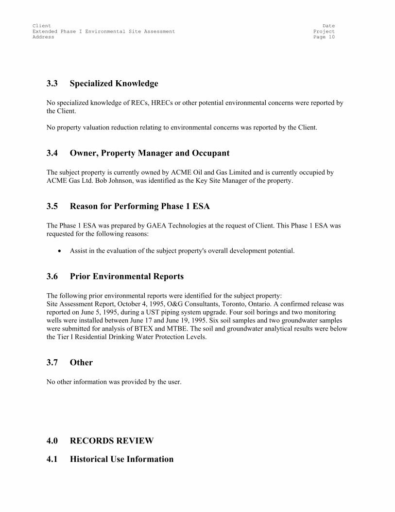
3.3 Specialized Knowledge No specialized knowledge of RECs, HRECs or other potential environmental concerns were reported by the Client. No property valuation reduction relating to environmental concerns was reported by the Client.
3.4 Owner, Property Manager and Occupant The subject property is currently owned by ACME Oil and Gas Limited and is currently occupied by ACME Gas Ltd. Bob Johnson, was identified as the Key Site Manager of the property.
3.5 Reason for Performing Phase 1 ESA The Phase 1 ESA was prepared by GAEA Technologies at the request of Client. This Phase 1 ESA was requested for the following reasons:
• Assist in the evaluation of the subject property's overall development potential.
3.6 Prior Environmental Reports The following prior environmental reports were identified for the subject property: Site Assessment Report, October 4, 1995, O&G Consultants, Toronto, Ontario. A confirmed release was reported on June 5, 1995, during a UST piping system upgrade. Four soil borings and two monitoring wells were installed between June 17 and June 19, 1995. Six soil samples and two groundwater samples were submitted for analysis of BTEX and MTBE. The soil and groundwater analytical results were below the Tier I Residential Drinking Water Protection Levels.
3.7 Other No other information was provided by the user. 4.0 RECORDS REVIEW
4.1 Historical Use Information
Client Date Extended Phase I Environmental Site Assessment Project Address Page 11
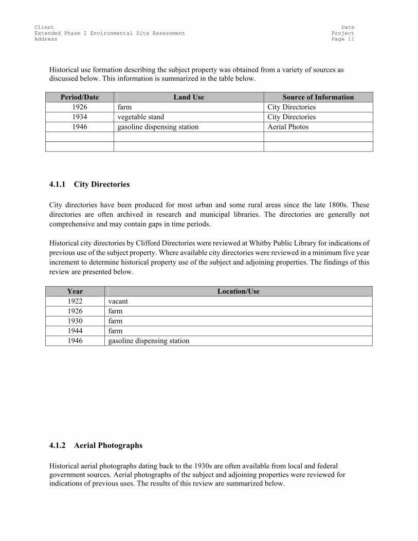
Historical use formation describing the subject property was obtained from a variety of sources as discussed below. This information is summarized in the table below.
Period/Date Land Use Source of Information 1926 farm City Directories 1934 vegetable stand City Directories 1946 gasoline dispensing station Aerial Photos
4.1.1 City Directories City directories have been produced for most urban and some rural areas since the late 1800s. These directories are often archived in research and municipal libraries. The directories are generally not comprehensive and may contain gaps in time periods. Historical city directories by Clifford Directories were reviewed at Whitby Public Library for indications of previous use of the subject property. Where available city directories were reviewed in a minimum five year increment to determine historical property use of the subject and adjoining properties. The findings of this review are presented below.
Year Location/Use 1922 vacant 1926 farm 1930 farm 1944 farm 1946 gasoline dispensing station
4.1.2 Aerial Photographs Historical aerial photographs dating back to the 1930s are often available from local and federal government sources. Aerial photographs of the subject and adjoining properties were reviewed for indications of previous uses. The results of this review are summarized below.
Client Date Extended Phase I Environmental Site Assessment Project Address Page 12
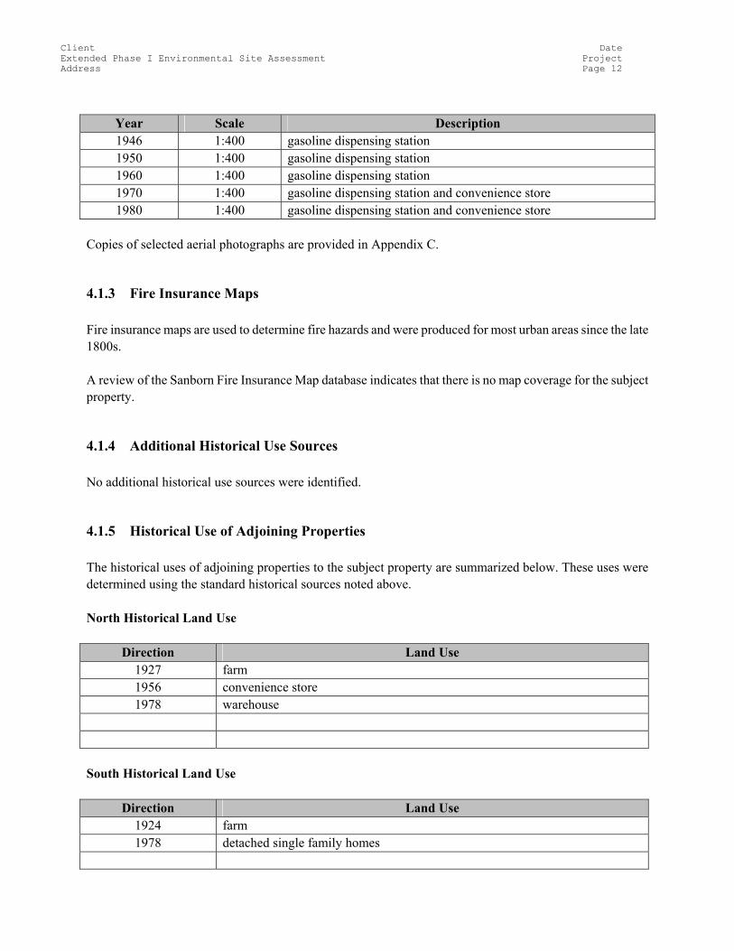
Year Scale Description 1946 1:400 gasoline dispensing station 1950 1:400 gasoline dispensing station 1960 1:400 gasoline dispensing station 1970 1:400 gasoline dispensing station and convenience store 1980 1:400 gasoline dispensing station and convenience store
Copies of selected aerial photographs are provided in Appendix C.
4.1.3 Fire Insurance Maps Fire insurance maps are used to determine fire hazards and were produced for most urban areas since the late 1800s. A review of the Sanborn Fire Insurance Map database indicates that there is no map coverage for the subject property.
4.1.4 Additional Historical Use Sources No additional historical use sources were identified.
4.1.5 Historical Use of Adjoining Properties The historical uses of adjoining properties to the subject property are summarized below. These uses were determined using the standard historical sources noted above. North Historical Land Use
Direction Land Use 1927 farm 1956 convenience store 1978 warehouse
South Historical Land Use
Direction Land Use 1924 farm 1978 detached single family homes
Client Date Extended Phase I Environmental Site Assessment Project Address Page 13
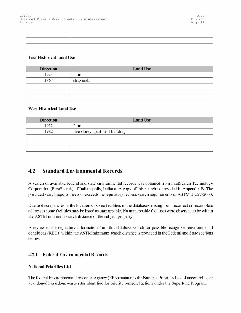
East Historical Land Use
Direction Land Use 1924 farm 1967 strip mall
West Historical Land Use
Direction Land Use 1932 farm 1982 five storey apartment building
4.2 Standard Environmental Records A search of available federal and state environmental records was obtained from FirstSearch Technology Corporation (FirstSearch) of Indianapolis, Indiana. A copy of this search is provided in Appendix B. The provided search reports meets or exceeds the regulatory records search requirements of ASTM E1527-2000. Due to discrepancies in the location of some facilities in the databases arising from incorrect or incomplete addresses some facilities may be listed as unmappable. No unmappable facilities were observed to be within the ASTM minimum search distance of the subject property.. A review of the regulatory information from this database search for possible recognized environmental conditions (RECs) within the ASTM minimum search distance is provided in the Federal and State sections below.
4.2.1 Federal Environmental Records National Priorities List The federal Environmental Protection Agency (EPA) maintains the National Priorities List of uncontrolled or abandoned hazardous waste sites identified for priority remedial actions under the Superfund Program.
Client Date Extended Phase I Environmental Site Assessment Project Address Page 14
A review of the NPL List indicates that there are no NPL facilities on the subject property. A review of the NPL List indicates that there are no NPL facilities on the adjoining properties within the minimum search distance CERCLIS LIST The Comprehensive Environmental Response, Compensation and Liability Information System (CERCLIS) list is maintained by the EPA and contains sites that have been investigated or are currently being investigated for possible inclusion on the NPL. A review of the CERCLIS List indicates that there are no CERCLIS facilities on the subject property. A review of the CERCLIS List indicates that there are no CERCLIS facilities on the adjoining properties within the minimum search distance RCRA CORRACTS TSD Facilities List The EPA maintains a database of the Treatment, Storage and Disposal (TSD) of hazardous waste from reporting facilities under the Resource Conservation and Recovery Act (RCRA). The CORRACTS database is the EPA’s list of TSD facilities subject to corrective action. A review of the RCRA CORRACTS TSD List indicates that there are no RCRA CORRACTS TSD facilities on the subject property. A review of the RCRA CORRACTS TSD List indicates that there are no RCRA CORRACTS TSD facilities on the adjoining properties within the minimum search distance RCRA Non-CORRACTS TSD Facilities List The Non-CORRACTS database is the EPA’s list of TSD facilities that are not currently subject to corrective action. A review of the RCRA TSD List indicates that there are no RCRA TSD facilities on the subject property. A review of the RCRA TSD List indicates that there are no RCRA TSD facilities on the adjoining properties within the minimum search distance RCRA Generator List The EPA maintains a list of all regulated generators of hazardous waste as defined by RCRA.
Client Date Extended Phase I Environmental Site Assessment Project Address Page 15
A review of the RCRA Generator List indicates that there are no RCRA Generator facilities on the subject property. A review of the RCRA Generator List indicates that there are no RCRA Generator facilities on the adjoining properties within the minimum search distance ERNS List The Emergency Response Notification System (ERNS) is a national database used to collect information or reported release of oil or hazardous substances. A review of the ERNS List indicates that there are no ERNS sites on the subject property. A review of the ERNS List indicates that there are no ERNS sites on the adjoining properties within the minimum search distance.
4.2.2 State Environmental Records State Priorities List The State Priority List (SPL) contains sites that have been ranked to receive funding for remedial actions and/or investigation under the Hazardous Substance Remedial Action Trust Fund. A review of the SPL List indicates that there are no SPL facilities on the subject property. A review of the SPL List indicates that there are no SPL facilities on the adjoining properties within the minimum search distance CERCLIS List The state maintains a list of facilities that are considered state-equivalent CERCLIS sites. A review of the state CERCLIS List indicates that there are no state CERCLIS facilities on the subject property. A review of the state CERCLIS List indicates that there are no state CERCLIS facilities on the adjoining properties within the minimum search distance SWLF List Each state maintains a list of facilities permitted as solid waste landfills, incinerators or transfer stations.
Client Date Extended Phase I Environmental Site Assessment Project Address Page 16
A review of the SWLF List indicates that there are no SWLFs on the subject property. A review of the SWLF List indicates that there are no SWLFs on the adjoining properties within the minimum search distance LUST List A list of reported leaking underground storage tanks (LUST) is maintained by each state. A review of the state LUST List indicates that the subject property contains a LUST. A confirmed release was reported on June 4, 1995 during a UST piping system upgrade. A review of the state LUST List indicates that there are no LUSTs on the adjoining properties within the minimum search distance UST List The state maintains a list of registered underground storage tanks. A review of the state UST List indicates that the subject property contains a UST. Two registered underground storage tanks. A review of the state UST List indicates that there are no USTs on the adjoining properties within the minimum search distance
4.2.3 Local Environmental Records County Recorder The county recorder/assessor’s office was contacted regarding the presence of recorded environmental liens or easements for the subject property. No environmental liens or easements were recorded for the subject property. Fire Department Fire department records were reviewed to determine the presence of USTs or hazardous materials. Records from the Fire Department indicated the presence of the following USTs and/or hazardous materials on the subject property: Two underground storage tanks.
Client Date Extended Phase I Environmental Site Assessment Project Address Page 17
Building Department Building department records were reviewed to determine the history of development and presence of USTs on the subject property. No records of the developmental history or presence of any USTs on the subject property were found at the Building Department. Other Agencies No records were reviewed from other agencies.
4.3 Physical Setting
4.3.1 Topography The United States Geological Survey (USGS) 1985 Ontario 7.5 minute minute series topographic map was reviewed. According to this map the average elevation of the subject property is approximately 350 feet above sea level with a moderate slope to the south Lake Ontario is approximately 1 mile to the south, Pringle Creek is approximately 100 feet to the east, Dundas Street borders the north side, and Garden Street borders the west side.
4.3.2 Regional Geography The subject property is located in the Ozark Mountains physiographic province. Bedrock is typically Canadian series consisting mainly of marine carbonates. Regional geography in this area is described as rolling meadows and dense woodland hills.
4.3.3 Soil Survey The United States Department of Agriculture (USDA) Soil Survey map indicates the property soils consist of Urban Land Complex. Described as urban fill underlain by silty clay till in this area.
4.3.4 Hydrogeology
Client Date Extended Phase I Environmental Site Assessment Project Address Page 18
Based upon a review of local topography and physiographic information, groundwater is estimated to be at a depth of 24 feet and flow in a southeast direction. The nearest surface water to the subject property is Pringle Creek approximately approximately 100 feet east from the subject property.
4.3.5 Flood Zone Information The Federal Emergency Management Agency (FEMA) Flood Insurance Map 11435634 007A dated 1971 was reviewed. According to this map the subject property is located in Flood Zone Number AO. Zone AO is the flood insurance rate zone that corresponds to the areas of 100-year shallow flooding (usually sheet flow on sloping terrain) where average depths are between 1 and 3 feet.
4.3.6 Wetland Information The United States Fish and Wildlife SE Ontario 12W5 was reviewed to determine if the subject property contained any identified wetland areas. According to this map the subject property does not contain any identified wetland areas.
4.3.7 Other No other physical setting data was reviewed.
Client Date Extended Phase I Environmental Site Assessment Project Address Page 19
5.0 SITE RECONNAISSANCE The subject property was inspected by John Smith on December 6, 2004. John Smith was accompanied by Dan Brown, Operations Supervisor during the inspection. The weather during the inspection was sunny with a light wind from the east. All areas of the subject property were accessible at the time of the inspection. There were no visual or physical obstructions of the subject property. During the inspection an exterior and interior walk-through of the buildings, if present, was performed. The exterior of adjoining properties was visually evaluated for any recognized environmental concerns (RECs).
5.1 General Property Conditions
5.1.1 Building Heating and Cooling The buildings on the subject property are heated by electric . There are no air-conditioned buildings on the subject property.
5.1.2 Solid Waste Disposal Non-hazardous solid waste is collect in dumpster and pails located at the behind east side of convenience store. The solid waste is collected and disposed of by BFI Waste Disposal.
5.1.3 Process Wastewater Disposal Process wastewater is not generated at the subject property. The process wastewater is generated at .
5.1.4 Sewage Discharge Sanitary sewage is discharged into Sanitary water from the subject property is discharged into the municipal sanitary sewer system..
Client Date Extended Phase I Environmental Site Assessment Project Address Page 20
5.1.5 Surface Water Drainage Storm water appears to run off the property on to the road.
5.1.6 Wells and Cisterns No wells were observed on the subject property. There are no cisterns located on the subject property.
5.1.7 Additional Property Conditions No additional property conditions were observed.
5.2 Environmental Conditions
5.2.1 Hazardous Material Storage, Use and Handling No hazardous materials were observed to be stored or used on the subject property. No petroleum products were observed to be stored or used on the subject property. No drums or containers of regulated substances were observed on the subject property. No drums or containers of regulated substances were observed on the subject property. No hazardous waste was observed to be generated, stored or disposed at the subject property. No bio-hazardous waste was observed on the subject property.
5.2.2 Spill and Stain Areas No areas of stained soil greater than de minimus (10 sq. ft.) were observed on the subject property. The following areas of stained pavement greater than de minimus (10 sq. ft.) were observed on the subject property:
• Petroleum staining was observed adjacent to the fuel dispensers and pump islands, on and around the used oil AST.
Client Date Extended Phase I Environmental Site Assessment Project Address Page 21
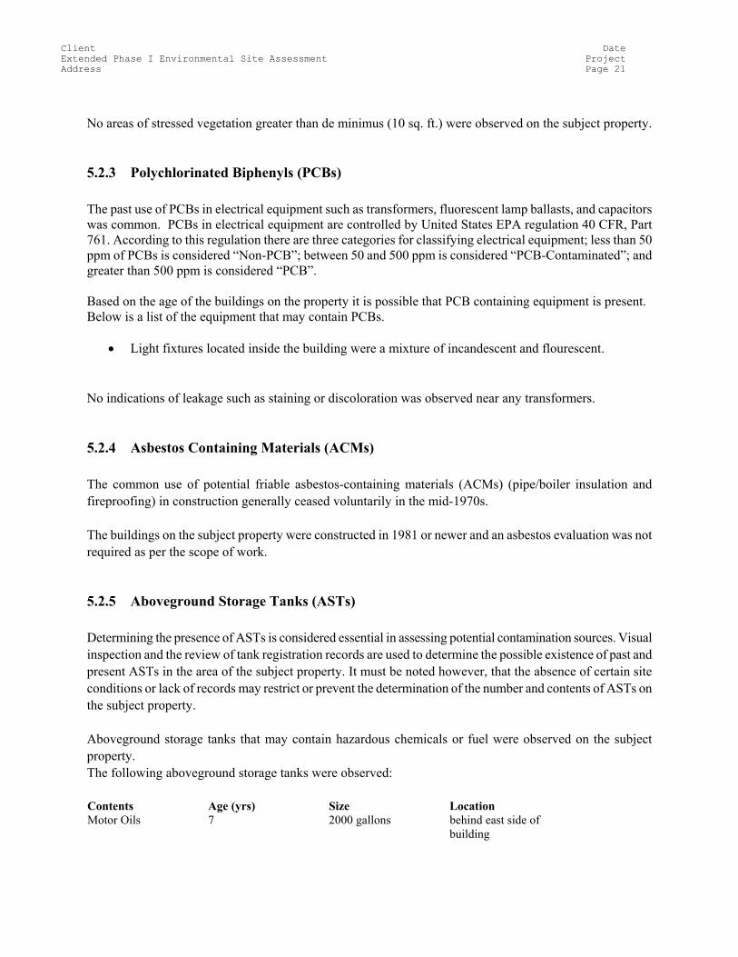
No areas of stressed vegetation greater than de minimus (10 sq. ft.) were observed on the subject property.
5.2.3 Polychlorinated Biphenyls (PCBs) The past use of PCBs in electrical equipment such as transformers, fluorescent lamp ballasts, and capacitors was common. PCBs in electrical equipment are controlled by United States EPA regulation 40 CFR, Part 761. According to this regulation there are three categories for classifying electrical equipment; less than 50 ppm of PCBs is considered “Non-PCB”; between 50 and 500 ppm is considered “PCB-Contaminated”; and greater than 500 ppm is considered “PCB”. Based on the age of the buildings on the property it is possible that PCB containing equipment is present. Below is a list of the equipment that may contain PCBs.
• Light fixtures located inside the building were a mixture of incandescent and flourescent. No indications of leakage such as staining or discoloration was observed near any transformers.
5.2.4 Asbestos Containing Materials (ACMs) The common use of potential friable asbestos-containing materials (ACMs) (pipe/boiler insulation and fireproofing) in construction generally ceased voluntarily in the mid-1970s. The buildings on the subject property were constructed in 1981 or newer and an asbestos evaluation was not required as per the scope of work.
5.2.5 Aboveground Storage Tanks (ASTs) Determining the presence of ASTs is considered essential in assessing potential contamination sources. Visual inspection and the review of tank registration records are used to determine the possible existence of past and present ASTs in the area of the subject property. It must be noted however, that the absence of certain site conditions or lack of records may restrict or prevent the determination of the number and contents of ASTs on the subject property. Aboveground storage tanks that may contain hazardous chemicals or fuel were observed on the subject property. The following aboveground storage tanks were observed: Contents Age (yrs) Size Location Motor Oils 7 2000 gallons behind east side of
building
Client Date Extended Phase I Environmental Site Assessment Project Address Page 22
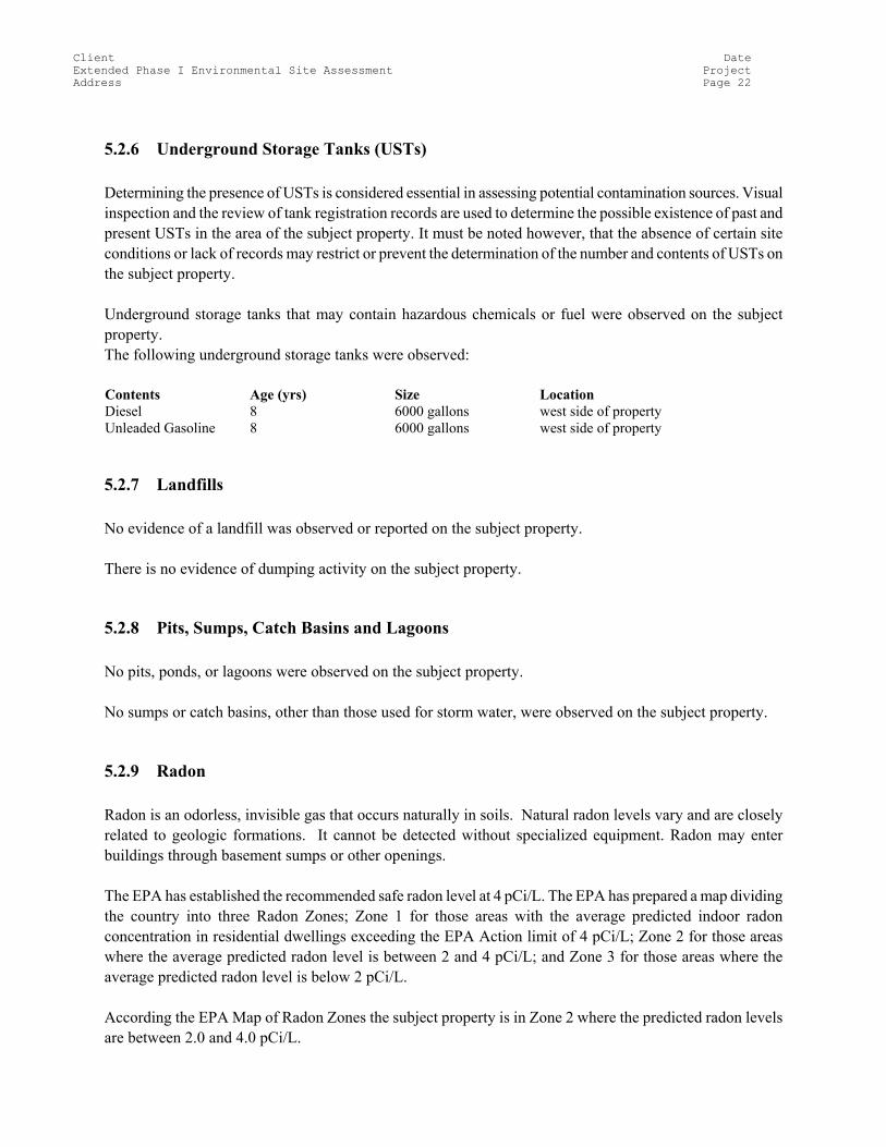
5.2.6 Underground Storage Tanks (USTs) Determining the presence of USTs is considered essential in assessing potential contamination sources. Visual inspection and the review of tank registration records are used to determine the possible existence of past and present USTs in the area of the subject property. It must be noted however, that the absence of certain site conditions or lack of records may restrict or prevent the determination of the number and contents of USTs on the subject property. Underground storage tanks that may contain hazardous chemicals or fuel were observed on the subject property. The following underground storage tanks were observed: Contents Age (yrs) Size Location Diesel 8 6000 gallons west side of property Unleaded Gasoline 8 6000 gallons west side of property
5.2.7 Landfills No evidence of a landfill was observed or reported on the subject property. There is no evidence of dumping activity on the subject property.
5.2.8 Pits, Sumps, Catch Basins and Lagoons No pits, ponds, or lagoons were observed on the subject property. No sumps or catch basins, other than those used for storm water, were observed on the subject property.
5.2.9 Radon Radon is an odorless, invisible gas that occurs naturally in soils. Natural radon levels vary and are closely related to geologic formations. It cannot be detected without specialized equipment. Radon may enter buildings through basement sumps or other openings. The EPA has established the recommended safe radon level at 4 pCi/L. The EPA has prepared a map dividing the country into three Radon Zones; Zone 1 for those areas with the average predicted indoor radon concentration in residential dwellings exceeding the EPA Action limit of 4 pCi/L; Zone 2 for those areas where the average predicted radon level is between 2 and 4 pCi/L; and Zone 3 for those areas where the average predicted radon level is below 2 pCi/L. According the EPA Map of Radon Zones the subject property is in Zone 2 where the predicted radon levels are between 2.0 and 4.0 pCi/L.
Client Date Extended Phase I Environmental Site Assessment Project Address Page 23
5.2.10 Lead Based on the age of construction of the structures it is unlikely that lead based paint was used.
5.2.11 Other Environmental Conditions No high-tension transmission lines or electrical substations which could generate significant electromagnetic frequencies were identified near the subject property. There were no major sources of noise and vibration identified on or near the subject property. No other information was provided by the user.
Client Date Extended Phase I Environmental Site Assessment Project Address Page 24
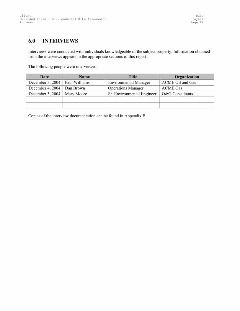
6.0 INTERVIEWS Interviews were conducted with individuals knowledgeable of the subject property. Information obtained from the interviews appears in the appropriate sections of this report. The following people were interviewed:
Date Name Title Organization December 3, 2004 Paul Williams Environmental Manager ACME Oil and Gas December 4, 2004 Dan Brown Operations Manager ACME Gas December 5, 2004 Mary Moore Sr. Environmental Engineer O&G Consultants
Copies of the interview documentation can be found in Appendix E.
Client Date Extended Phase I Environmental Site Assessment Project Address Page 25
7.0 FINDINGS AND CONCLUSIONS
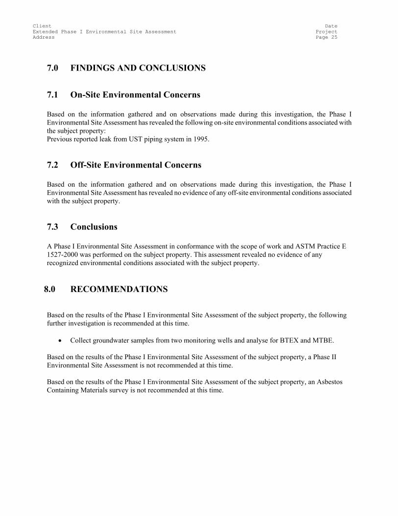
7.1 On-Site Environmental Concerns Based on the information gathered and on observations made during this investigation, the Phase I Environmental Site Assessment has revealed the following on-site environmental conditions associated with the subject property: Previous reported leak from UST piping system in 1995.
7.2 Off-Site Environmental Concerns Based on the information gathered and on observations made during this investigation, the Phase I Environmental Site Assessment has revealed no evidence of any off-site environmental conditions associated with the subject property.
7.3 Conclusions A Phase I Environmental Site Assessment in conformance with the scope of work and ASTM Practice E 1527-2000 was performed on the subject property. This assessment revealed no evidence of any recognized environmental conditions associated with the subject property.
8.0 RECOMMENDATIONS
Based on the results of the Phase I Environmental Site Assessment of the subject property, the following further investigation is recommended at this time.
• Collect groundwater samples from two monitoring wells and analyse for BTEX and MTBE.
Based on the results of the Phase I Environmental Site Assessment of the subject property, a Phase II Environmental Site Assessment is not recommended at this time. Based on the results of the Phase I Environmental Site Assessment of the subject property, an Asbestos Containing Materials survey is not recommended at this time.
Client Date Extended Phase I Environmental Site Assessment Project Address Page 26
9.0 CLOSURE This report has been prepared for the sole benefit of ACME Oil and Gas Ltd.. The report may not be relied upon by any other person or entity without the express written consent of GAEA Technologies and ACME Oil and Gas Ltd.. Except for the limitations and exceptions discussed in Section 1.4, this Phase I ESA complies with the scope of work and ASTM Standard 1527-2000. Respectfully submitted, GAEA Technologies Ltd. Prepared by: Reviewed by: John Smith Jane Doe Sr. Assessor Manager
Client Date Extended Phase I Environmental Site Assessment Project Address Page 27
10.0 REFERENCES
The following documents, maps, or other publications may have been used in the preparation of this report. American Society for Testing and Materials (ASTM) 2000. Standard Practice for Environmental Site Assessments: Phase I Environmental Site Assessment Process (ASTM E 1527-00). Philadelphia, PA, USA. Environmental Data Resources, Inc., Radius Map and Site Assessment Reports. Federal Emergency Management Agency, National Flood Insurance Program, Flood Insurance Maps. United States Department of Agriculture, Soil Conservation Service, Soil Surveys. United States Geological Survey, Topographic Maps. United States Department of the Interior, Fish and Wildlife Service, National Wetlands Inventory Map