prince william forest park case study - usgs · prince william forest park case study regan smyth...
TRANSCRIPT

Prince William Forest Park
Case Study
Regan Smyth and Don
Faber-Langendoen

Prince William Park
• NPS vegetation map (associations) provides “true” picture
• Located in zone of
overlap
• Shows challenges
of mapping
ecosystems in
in transition zones

All Maps Differ
LF TNC SEGAP/ NS
NPS Park Map
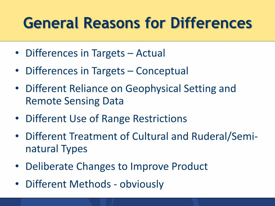
General Reasons for Differences
• Differences in Targets – Actual
• Differences in Targets – Conceptual
• Different Reliance on Geophysical Setting and Remote Sensing Data
• Different Use of Range Restrictions
• Different Treatment of Cultural and Ruderal/Semi-natural Types
• Deliberate Changes to Improve Product
• Different Methods - obviously

Number of Natural Systems
• Actual difference in targets
NPS LF GAP/
NS TNC # Matching 9 5 3 6 # Non-matching 10 5 5 Total # Systems 9 15 8 11

Different Use of Range Restrictions
Name NPS LF NS/GAP TNC
Appalachian (Hemlock)-Northern Hardwood Forest 0.08% 13% 0.01% 0.03%
S. Atlantic Coastal Plain Mesic Hardwood Forest 37% 4% 1%
Southern Piedmont Mesic Forest 12% 32%
Central Appalachian Dry Oak-Pine Forest 14% 5% 0.49% 1%
Southern Piedmont Dry Oak(-Pine) Forest 2% 76%
Northeastern Interior Dry-Mesic Oak Forest 9% 16% 55%
Northern Atlantic Coastal Plain [DM] Hardwood Forest 1% 9%
Southern Piedmont Small Floodplain and Riparian Forest 7% 2%
Ruderal Forest 26% 35%
Piedmont
Coastal
Plain List only includes systems > 5%

Different Use of Range Restrictions
SEGAP TNC Landfire

Different Use of Range Restrictions
Name NPS LF NS/GAP TNC
Appalachian (Hemlock)-Northern Hardwood Forest 0.08% 13% 0.01% 0.03%
S. Atlantic Coastal Plain Mesic Hardwood Forest 37% 4% 1%
Southern Piedmont Mesic Forest 12% 32%
Central Appalachian Dry Oak-Pine Forest 14% 5% 0.49% 1%
Southern Piedmont Dry Oak(-Pine) Forest 2% 76%
Northeastern Interior Dry-Mesic Oak Forest 9% 16% 55%
Northern Atlantic Coastal Plain [DM] Hardwood Forest 1% 9%
Southern Piedmont Small Floodplain and Riparian Forest 7% 2%
Ruderal Forest 26% 35%
Piedmont
Coastal
Plain

Different Use of Range Restrictions
SEGAP
Piedmont
Northern
Piedmont
TNC
TNC Landfire

Dry -> Mesic Gradient
Name NPS LF NS/GAP TNC
Appalachian (Hemlock)-Northern Hardwood Forest 0.08% 13% 0.01% 0.03%
S. Atlantic Coastal Plain Mesic Hardwood Forest 37% 4% 1%
Southern Piedmont Mesic Forest 12% 32%
Central Appalachian Dry Oak-Pine Forest 14% 5% 0.49% 1%
Southern Piedmont Dry Oak(-Pine) Forest 2% 76%
Northeastern Interior Dry-Mesic Oak Forest 9% 16% 55%
Northern Atlantic Coastal Plain [DM] Hardwood Forest 1% 9%
Southern Piedmont Small Floodplain and Riparian Forest 7% 2%
Ruderal Forest 26% 35%

Dry -> Mesic Gradient
SEGAP

Treatment of Ruderal Vegetation
12
Name NPS LF NS/GAP TNC Ruderal Forest 26% 35% Managed Tree Plantation 0.1% 8% 0.04% Ruderal Scrub, Vine, & Grassland 4% Ruderal Upland - Old Field 1% Successional Meadow / Grassland 1% Clearcut - Grassland/Herbaceous 0.1% Successional Shrub/Scrub (Clear Cut) 0.1% Non-Specific Disturbed 0.02%
This table does not include SEGAP systems with semi-natural modifiers

Overall Accuracy
13
NPS Map: >80%*
TNC
• Raw accuracy = 6%
• 18% if merge Piedmont and Coastal Plain Mesic
• Biggest source of error: points mapped as S. Piedmont mesic observed as numerous other forest types
SEGAP
• Raw accuracy = 2%;
• 12% if merge dry forest types
• Low accuracy due to significant over-mapping of S. Piedmont Dry Oak Pine; does not reflect on SEGAP map as a whole
Landfire
• Raw accuracy = 39%
• 45% if merge mesic and dry forest types
• Higher accuracy largely due to success at capturing ruderal vegetation
*not a “true” accuracy assessment

Takeaways
14
• AA: substantial departure from NPS map
• Differences are explainable: – Geographic gradients (Piedmont versus
Coastal Plain)
– Mesic to dry gradient
– Treatment of ruderal and transition forest
• Some problems local, some persist at regional scale
• Difficult to identify a “best” map