pushing the boundaries of flood modeller 1d · spill unit coupled with orifice unit – spill...
TRANSCRIPT

Pushing the Boundaries of Flood Modeller 1D
Tel: 01824 702220 Website: www.waterco.co.uk
David Hughes
26th November 2015

The first few slides have been removed as they contained potentially sensitive information

Why use Flood Modeller 1D?
Robust, industry-standard software
High degree of confidence in output
Existing 1D model – cost effective
1D-only – high-level answer required at this stage, not detailed
< (if input is good!)

Existing Model
1D ISIS model of Black Brook and tributaries from previous flood
mapping study in 2013
Based on existing datasets - partially geo-referenced
Partial survey coverage (data supplied with model)
Some sections extended with, or generated entirely from LiDAR
Some (perhaps key!) structures missing
Limited hydrology data (missing hydrographs)

Waterco Model Setup
Stanley Brook sections were extracted
New downstream boundary generated (normal depth unit)
New hydrology study completed – full range of hydrographs for all
watercourses
Site visit carried out – basic measurements of missing structures taken
Spoke to property owners

Representing Debris Dams
Non-standard structure – no “debris dam” 1D unit – not an issue!
Representing key flow paths
1) Flow through dam
2) Flow over dam
Combination of units may be required
Several options available

Representing Debris Dams – Option 1
Spill unit with notch –
Unit represents both the flow through and over the structure
Sensitivity testing on weir coefficients and slot dimensions
Pros
Single unit – simple setup and less nodes
Cons
Single unit – no way to split flow through / over structure

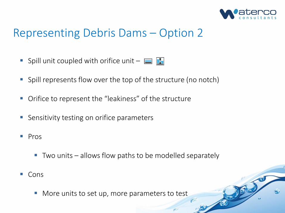
Representing Debris Dams – Option 2
Spill unit coupled with orifice unit –
Spill represents flow over the top of the structure (no notch)
Orifice to represent the “leakiness” of the structure
Sensitivity testing on orifice parameters
Pros
Two units – allows flow paths to be modelled separately
Cons
More units to set up, more parameters to test

Representing Debris Dams – Option 3
Blockage unit coupled with spill –
Blockage to reduce the available conveyance of a section
Spill to represent flow over the top of the structure
Sensitivity testing on blockage value and parameters
Pros
Two units – allows flow paths to be modelled separately
Cons
More units to set up, more parameters to test

Model Results
Results of debris dam simulations:
Very little peak flow reduction in all simulations
Hydrograph is significantly delayed – traffic light system
Potentially part of a successful flood-risk solution
Fluvial Event(AEP)
ScenarioPeak Flow
(m³/s)Simulation Time
(hours)Flow Difference
(m³/s)Time Shift
(hours)
50% Existing 1.141 5.58 - -
50% Option 1 (spill) 1.132 6.62 -0.009 1.034
50% Option 2 (orifice) 1.130 6.62 -0.011 1.034
50% Option 3 (blockage) 1.140 5.75 -0.001 0.167


The model was used to assess the performance of the debris dams in
terms of flood risk reduction downstream
Funding was sourced to construct four debris dams along the lower
section of Stanley Brook
Ecological benefits too
Constructed in June 2015
Project Outcome


An Interesting Point…
A new 1D/2D FMP-TUFLOW model is being used to study all options
Stanley Brook is now modelled within the 2D domain using z-lines to
allow direct rainfall modelling
Debris dams modelled as layered flow constrictions (2d_lfcsh)
Early results show very good agreement with initial 1D-only results!
Goes to show… a 1D solution isn’t always a worse solution.

Conclusions
Debris dams may not “flatten” the flood hydrograph
They can add a significant time delay to a flood hydrograph
They could be part of the overall flood risk solution
Flood Modeller 1D can be used to represent “odd” structures
Know and push the boundaries of modelling!

Any questions?
Tel: 01824 702220 Website: www.waterco.co.uk