rcm compact polarimetry applied to watershed study
TRANSCRIPT

Natural Resources Ressources naturellesCanada Canada
RCM Compact RCM Compact PolarimetryPolarimetry Applied Applied to Watershed Studyto Watershed Study
Charbonneau, F.J. & Zidane, S.-E.Canada Centre for Remote Sensing
McNairn, H. & Merzouki, A.Agriculture and Agri-Food Canada

Natural Resources Ressources naturellesCanada Canada
OutlineOutline
RCM and ongoing CP projects Potential watershed monitoring with RCM Soil moisture Vegetation structure with CP-Insar
Impact of non-circularity and noise floor

Natural Resources Ressources naturellesCanada Canada
RCM: RADARSAT Constellation MissionRCM: RADARSAT Constellation Mission
Operational Mission Drivers
Ecosystem Monitoring Disaster Management Maritime Surveillance
In continuity of RADARSAT-1 & -2 Three-satellite SAR mission 10 SAR modes
• C-Band• Single pol, linear dual-pol,
Compact pol, exp Quad pol• Swath up to 500 km
Rapid Revisits & CCD• Daily coverage of Canada's land and
oceans• Four day InSAR capability

Natural Resources Ressources naturellesCanada Canada
Project Team & ApplicationsProject Team & Applications
CCRS• F. Charbonneau• B. Brisco• J. van der Sanden• R. Touzi• T. Toutin
Federal Partners• Canadian Space Agency• National Defense Canada• Agriculture Canada• Environment Canada – Ice
Service• Canadian Forest Service• Parks Canada Agency• Royal Military College
Applications• CP Simulator• Calibration • Surface Modeling• Agriculture Crops Classification • GrassLand• Wetland Classification • Forestry • Change detection • CP-InSAR • 3D-Radargrammetry• Lake Ice & River Ice• Sea Ice Classification • Wind Speed Retrieval• Ship/Iceberg Detection• Oil Slick Detection & Char.M
ariti
me
Land

Natural Resources Ressources naturellesCanada Canada
RCM CP SimulatorRCM CP SimulatorInputs: RADARSAT-2 FQ/FQW/SQ/SQW
Noise floor: RCM specs or user defined
Output Products:• 9 RCM modes • RCM-CP:
RH, RV, RHRV*, RR, RL Received Stokes vector CP derived parameters
m, µC , δ, µE, SE, s, & [Ps,Pd,Pv]• RCM – Dual
HH/HV et VV/VH• Compatible with PCI and NEST
Reads orbital info for orthorectification
Natural Resources Ressources naturellesCanada Canada
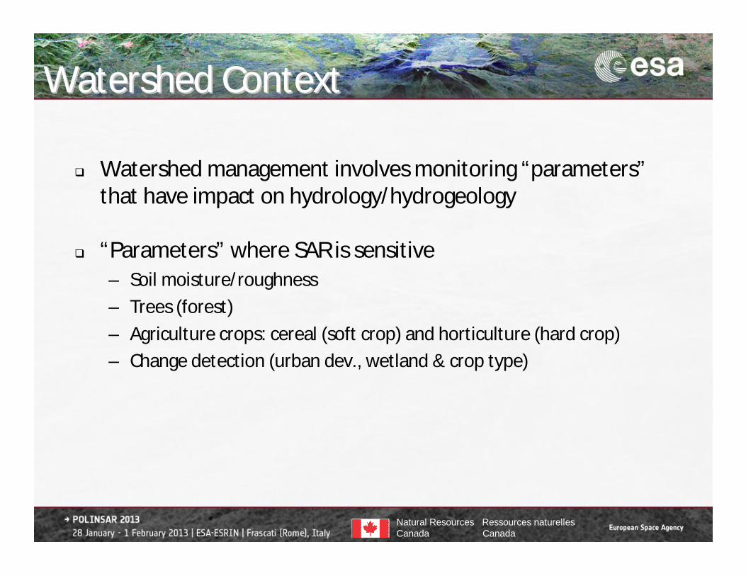
Watershed ContextWatershed Context
Watershed management involves monitoring “parameters”that have impact on hydrology/hydrogeology
“Parameters” where SAR is sensitive– Soil moisture/roughness– Trees (forest)– Agriculture crops: cereal (soft crop) and horticulture (hard crop)– Change detection (urban dev., wetland & crop type)

Natural Resources Ressources naturellesCanada Canada
Soil MoistureSoil Moisture

Natural Resources Ressources naturellesCanada Canada
Theoretical modelingTheoretical modelingTheoretical modeling
• No reconstruction of HH, VV and HV• Adapt IEM directly to RH, RV, RL and RR• Need to
– Change the Fresnel coefficients– Change the field coefficients– Better take care of the multi-scattering component

Natural Resources Ressources naturellesCanada Canada
In Situ MeasurementIn Situ Measurement

Natural Resources Ressources naturellesCanada Canada
First Approximation First Approximation –– kkzzRMSRMS < 3< 3
-25
-20
-15
-10
-5
0
-25 -20 -15 -10 -5 0RCM-CP [dB]
IEM
[dB
]
RCM – CP [dB]
IEM
[dB
]
RHRVRLRR First trial : Bare soil
Feeding IEM with in situ
Defining a surface by rms, L and a correlation function is always tricky. Since the uncertainty on these parameters is high, we need to be careful with interpretation of results

Natural Resources Ressources naturellesCanada Canada
and and rmsrms estimated from IEM estimated from IEM (LUT Approach)(LUT Approach)
Could have done better with multi-incidence and or multi-date (RCM = daily coverage)
0
5
10
15
20
25
30
35
0 5 10 15 20 25 30 35
ϵ measured
ϵ es
timat
ed
0
0.5
1
1.5
2
2.5
3
3.5
0 0.5 1 1.5 2 2.5 3 3.5
Measured Rougness
Estim
ated
roug
hnes
s
Roughness
Dielectric Constant

Natural Resources Ressources naturellesCanada Canada
Vegetation StructureVegetation StructureCPCP--InSARInSAR assessmentassessment

Natural Resources Ressources naturellesCanada Canada
CC--Band Facts for VegetationBand Facts for Vegetation
• Short vegetation biomass/density usually well assessed from the volumetric/depolarized component of Dual pol linear, Dual pol CL or full quad
• High biomass == saturation at C-Band
• What about characterization of the tree canopy when leaf off?– Single date gives info in some cases (Touzi et al. 2004)– Does adding the insar dimension bring new information?

Natural Resources Ressources naturellesCanada Canada
CP CP InSARInSAR
• Limited @ C-band spaceborne– Height : not enough sensibility in – Not interested doing DEM of the tree scattering
center if we don’t “see” the ground– Current data: RSAT-2
• 24 days repeat pass = Temporal decorrelation– RCM baseline: 200 m orbital tube
• Nevertheless, can we look for structural info?

Natural Resources Ressources naturellesCanada Canada
Database and Fieldwork: Database and Fieldwork: Kelowna, BCKelowna, BC
AAFC Land Use Database
CCRS/AAFCFieldwork 2007 & 2011
RADARSAT-2 Data and Products © MacDONALD,DETTWILER AND ASSOCIATES LTD. (2008) – All Rights Reserved RADARSAT is an official mark of the Canadian Space Agency

Natural Resources Ressources naturellesCanada Canada
Why Okanagan Valley for CPWhy Okanagan Valley for CP--InSARInSAR?? Coherence at C-Band “Small” trees: prevent saturationRow spacing: Potential to “see” groundHorticulture: Spaced and organized cropDry environment: Temporal coherence

Natural Resources Ressources naturellesCanada Canada
RadarsatRadarsat--22
• Fine quad– Multi-year since 2008 (Mainly late summer/fall season)– Multi-Incidence 20o to 45o
• Simulated to RCM-CP

Natural Resources Ressources naturellesCanada Canada
CP Intensity SignatureCP Intensity Signature• Dense vegetation is quite boring at C-band

Natural Resources Ressources naturellesCanada Canada
CPCP--InSARInSAR Coherence Examples Coherence Examples
HD Apple (recent) Cherry Apple
FQ18_Field #920121028_20121004
FQ5_Field #1720111013_20111130
FQ5_Field #2020111013_20111130

Natural Resources Ressources naturellesCanada Canada
Baseline Effect Baseline Effect
B_|_= 126m B_|_= 164m
Cherry @ 26o
20111013_20111106 20111013_20111130

Natural Resources Ressources naturellesCanada Canada
Incident AngleIncident Angle
20111013_20111106 20111120_20111214
RHRVRRRL
=26o =35o
B_|_= 126m B_|_= 122m

Natural Resources Ressources naturellesCanada Canada
Coherence Signatures: w1= w2Coherence Signatures: w1= w2
CherryCherry Old AppleOld Apple
[o] [o]
Coh
eren
ce
[o ]
[o ]
0 30 60 90 0 30 60 90 0
0.6

Natural Resources Ressources naturellesCanada Canada
Coherence Signatures: w1 Coherence Signatures: w1 ≠≠ w2w2
Coh
eren
ce
[o] [o]
CherryCherry Old AppleOld Apple
0 30 60 900 30 60 90
0.6
0
[o ]

Natural Resources Ressources naturellesCanada Canada
CP signature CP signature vsvs CP CP insarinsar signaturesignature
Old AppleOld Apple
[o]
Coh
eren
ce
[o ]
Mas
ter
Sla
ve
-45 0 450
0.6

Natural Resources Ressources naturellesCanada Canada
Intensity Intensity vsvs coherencecoherence
HD AppleHD Apple
[o]
Coh
eren
ce
[o ]
-45 0 45
0.6
0
Mas
ter
Sla
ve

Natural Resources Ressources naturellesCanada Canada
ConclusionConclusion
Soil moisture estimation from CP will be possible. RL has a higher return on bare soil and is less affected by the non-circularity.
Agriculture crop classification (presented at IGARSS’12). Change detection as good as linear dual pol configuration. CP Insar (from R2 data) is limited but 4 days repeat pass
should bring some potential for structure characterization.
AcknowledgementThis project is supported by the Canadian Space Agency
CP potential for watershed