real-time situational awareness smart road … · radar scanning. theory of operation active vs...
TRANSCRIPT

REAL-TIME SITUATIONAL AWARENESS
SMART ROAD NETWORKS

MEETING THE
CHALLENGE
To determine the performance of
the network and disseminate
meaningful information to road
users, the system must:
Detect and track traffic
conditions at all points on the
road
Analyse whether there is an
incident
Provide real-time, low-latency
information to the road user

SINGLE
POINT
LINE
COVERAGE
Traditional sensors provide
information only at a single
point on the road

WIDE
AREA
COVERAGE
360 degree High FrequencyHigh Resolution Radar scanning

THEORY OF OPERATION
ACTIVE VS PASSIVE
Transmitter
& Receiver

BENEFITS
OVER
VISIBLE
LIGHT AND
INFRARED
MEASURES RANGE, SPEED, DIRECTION, LOCATION
500 METRES
OPERATES IN
ALL WEATHER AND LIGHT CONDITIONS

RAW RADAR DATA

TRACK DATA

D E T E C T
C L A S S I F Y
T R A C K
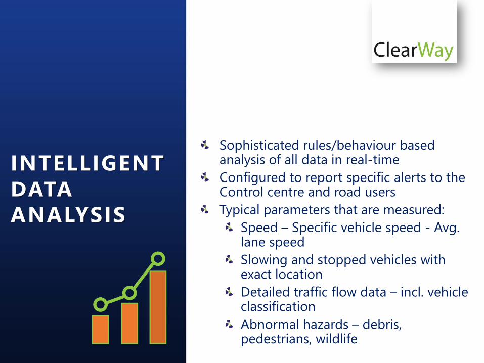
Sophisticated rules/behaviour based analysis of all data in real-time
Configured to report specific alerts to the Control centre and road users
Typical parameters that are measured:
Speed – Specific vehicle speed - Avg. lane speed
Slowing and stopped vehicles with exact location
Detailed traffic flow data – incl. vehicle classification
Abnormal hazards – debris, pedestrians, wildlife
INTELLIGENT
DATA
ANALYSIS
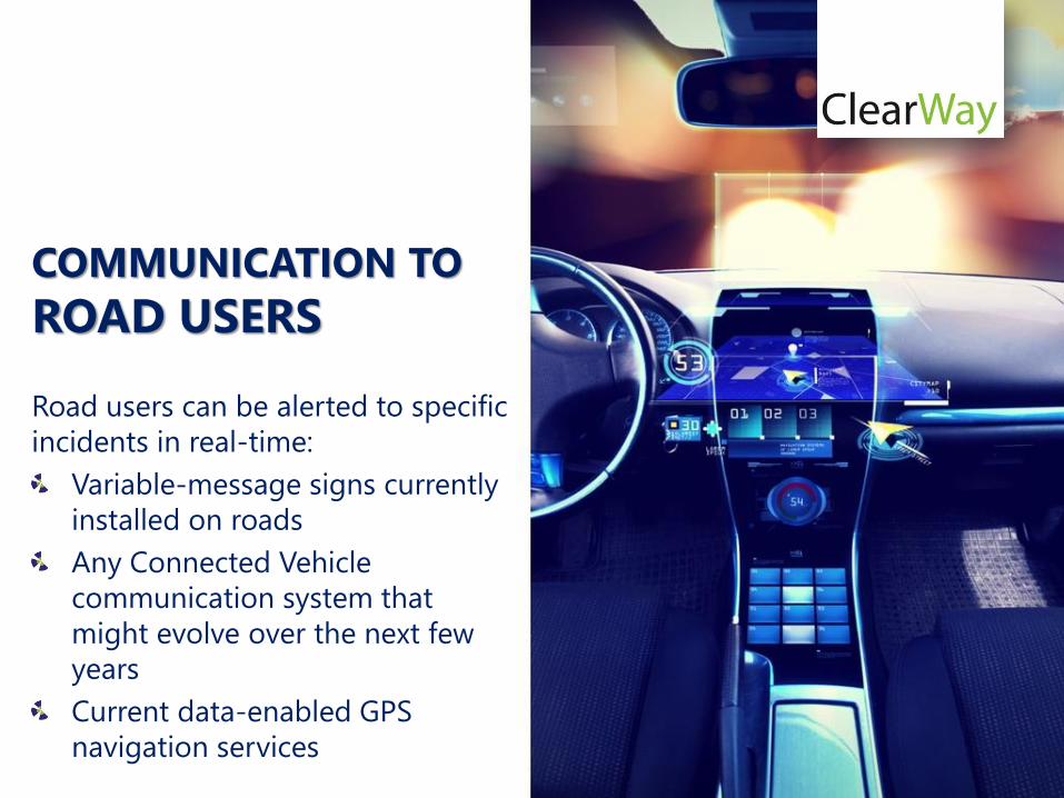
Road users can be alerted to specific
incidents in real-time:
Variable-message signs currently
installed on roads
Any Connected Vehicle
communication system that
might evolve over the next few
years
Current data-enabled GPS
navigation services
COMMUNICATION TO
ROAD USERS
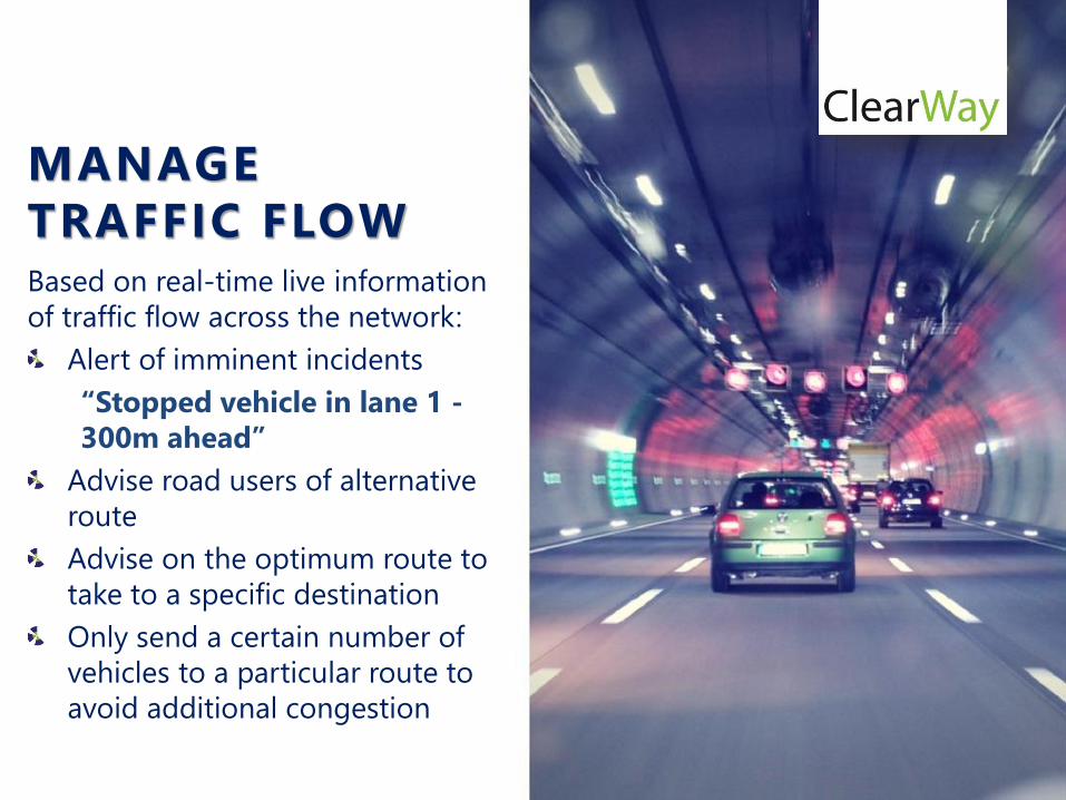
MANAGE
TRAFFIC FLOWBased on real-time live information
of traffic flow across the network:
Alert of imminent incidents
“Stopped vehicle in lane 1 -
300m ahead”
Advise road users of alternative
route
Advise on the optimum route to
take to a specific destination
Only send a certain number of
vehicles to a particular route to
avoid additional congestion

EASY TO INSTALL
COMPACT LOW
POWER SENSOR
LOW BANDWIDTH
CONNECTION
CURRENTLY BEING
DEPLOYED GLOBALLY
FOR SAFETY
APPLICATIONS ON
HIGHWAYS, BRIDGES
AND IN TUNNELS

ANY QUESTIONS?
THANK YOU