review of file management and introduction to arcgis • preview geographic table 3d • work with...
TRANSCRIPT

1
Review of File Management Review of File Management and Introduction to and Introduction to ArcGISArcGIS
RNR/GEOG 417/517
Overview of Presentation
• Discuss the objectives of the lab exercise
• Introduce the class directory structure• General file policies• Introduce ArcGIS
– ArcMap interface– ArcMap functions
• Overview of the lab exercise

2
Objectives of the lab exercise• Verify basic digital file management practices
– File creation, edit, and management• Provide an overview of the functionality of ArcGIS
desktop GIS• Explore digital geospatial data
– Geographic feature representation– Related feature attributes
• Provide some hands-on experience in query, display, and edit of geospatial data
• Develop familiarity with the applications ArcCatalogand ArcMap, which will be used extensively in the lab.
Get to know the course file system
user areas
PowerPoint
data folder

3
General File Policies• Always submit a “readme.txt” file
– Use only this file name, not variants– Place it where you are instructed– Presence of this file is part of score for lab
• Never use spaces in file or folder names• Always be sure your files are in the correct
location• Backup your files
– USB drive
What is ArcGIS?
• What it is:• A system of software applications
for enterprise GIS
• What it is not:• A single software product
• What it is not:• A single software product

4
ArcGIS Applications
• ArcGIS consists of two main applications– ArcCatalog– ArcMap
ArcCatalog
• View GISData Holdings
• View/EditMetadata
• PreviewGeographicTable3D
• Work withTables

5
ArcMap
• Perform map based tasks
MappingEditingQueriesAnalysisChartingReporting
Table of Contents: Data Views and Layer Legends are Listed in the Dockable Table of Contents
Menu BarStandard Toolbar
Title Bar: Shows Map Name
Status bar: Describes Selected Buttons and Menu Items; Reports Coordinates
Display Area:Map Features Draw in the Display Area
Sizable! Drag divider
Context Menus:Right-click Data or Layers
ArcMap Interface

6
Table of Contents
• Drawing Order• Drag Layers To Reorder• Show, Hide, Remove Layers• Rename Objects• View Source Data• Layer Context Menu• Layer Symbology and Color
Viewing a Map
•• Layout ViewLayout View–– Work with the Map Page Work with the Map Page
(Place Map Elements)(Place Map Elements)
•• Data ViewData View–– Work with the Data Work with the Data
(Edit Features)(Edit Features)

7
Layout Elements
• Data Frames• Legend• North Arrow• Neatlines , Guides,
Grids• Scale Bar• Scale Text• Pictures• OLE Objects
Layout View
USA Data Frame(Albers Equal Area)
World Data Frame(No projection)
Data Frames
• Containers for Layers and Graphics• Have Indexes and Graticules• Have a Coordinate System
– Projection On-the-fly– First Layer Sets Default

8
Data frame properties• Units• Frame and
Background Symbology
• Coordinate System• Illumination• Grids• Labels and
Annotation• Show Extents for
Other Data Frames
Layout View
• View Multiple Data Frames
• All Interactive Tools Work in Layout View– Pan, Zoom, Edit, Labeling
• Page-centric Tools– Zoom %, 1:1, Zoom to
Paper

9
Maps Contain Layers• Layers Have a Data Source• Layers Have Symbology• Layers Can be Saved with a Map (USA.mxd)• Layers Can be Saved as a File (Streets.lyr)
Layer Properties
• General• Source• Selection• Display• Symbology• Visibility• Fields• Definition Query• Labels• Joins and Relates
10
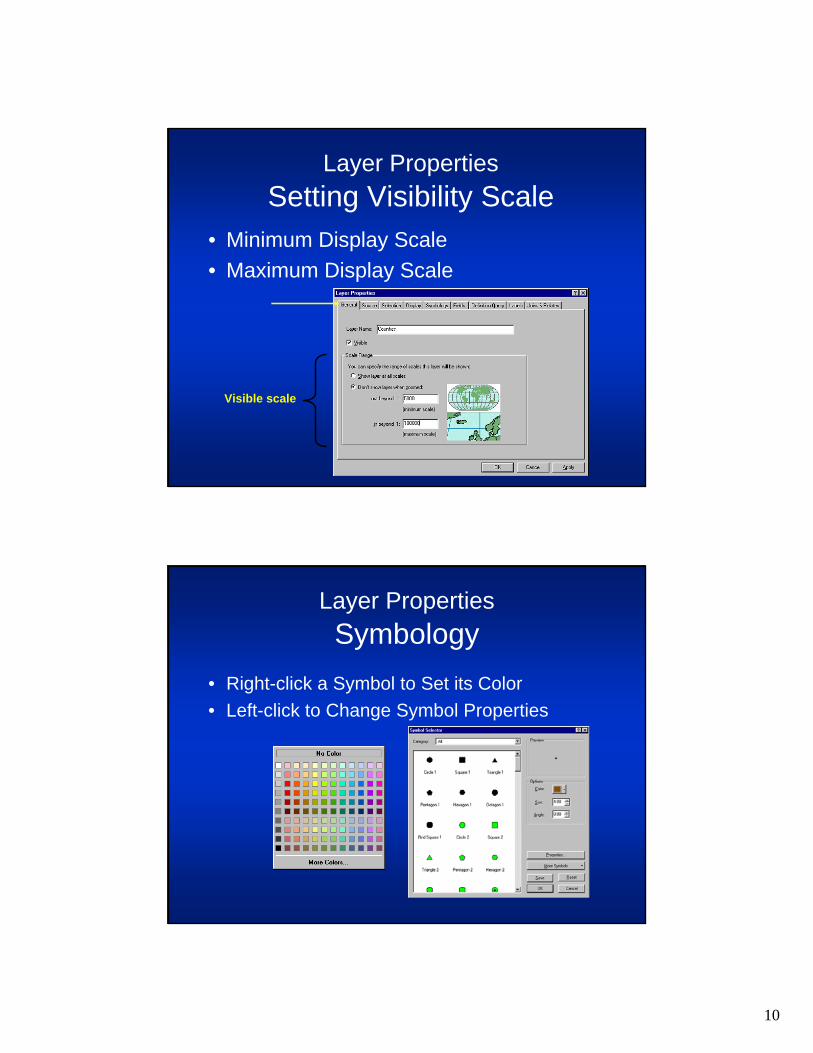
Visible scale
Layer PropertiesSetting Visibility Scale
• Minimum Display Scale• Maximum Display Scale
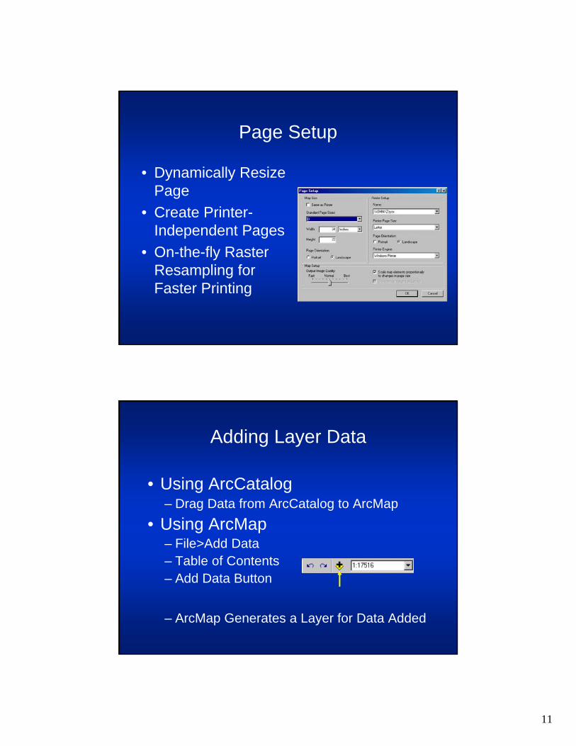
Layer PropertiesSymbology
• Right-click a Symbol to Set its Color• Left-click to Change Symbol Properties
11
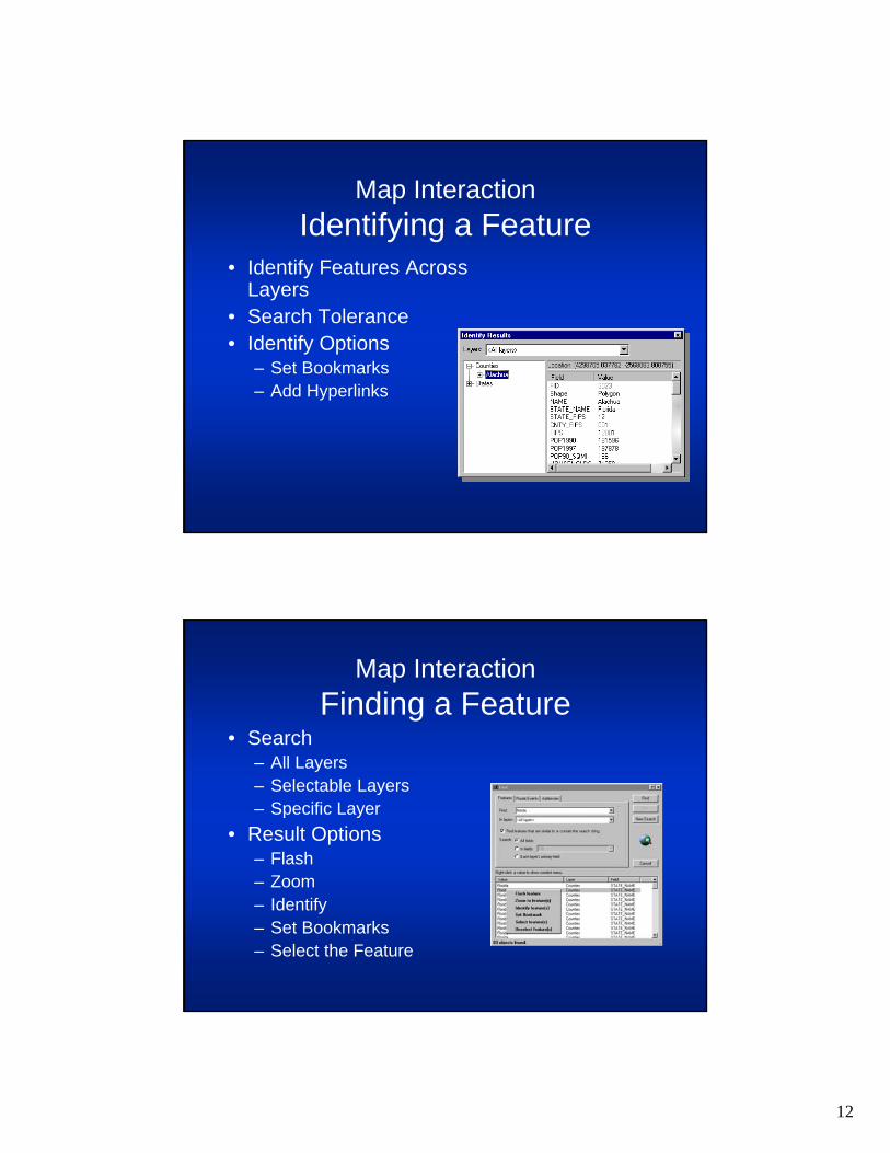
Page Setup
• Dynamically Resize Page
• Create Printer-Independent Pages
• On-the-fly Raster Resampling for Faster Printing
Adding Layer Data
• Using ArcCatalog– Drag Data from ArcCatalog to ArcMap
• Using ArcMap– File>Add Data– Table of Contents– Add Data Button
– ArcMap Generates a Layer for Data Added
12
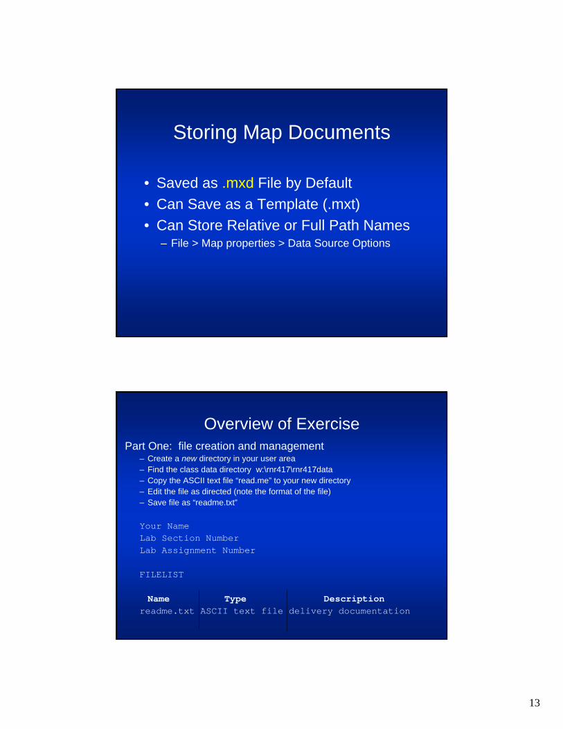
• Identify Features Across Layers
• Search Tolerance• Identify Options
– Set Bookmarks– Add Hyperlinks
Map InteractionIdentifying a Feature
Map InteractionFinding a Feature
• Search– All Layers– Selectable Layers– Specific Layer
• Result Options– Flash– Zoom– Identify– Set Bookmarks– Select the Feature
13
Storing Map Documents
• Saved as .mxd File by Default• Can Save as a Template (.mxt)• Can Store Relative or Full Path Names
– File > Map properties > Data Source Options
Overview of ExercisePart One: file creation and management
– Create a new directory in your user area– Find the class data directory w:\rnr417\rnr417data– Copy the ASCII text file “read.me” to your new directory– Edit the file as directed (note the format of the file)– Save file as “readme.txt”
Your NameLab Section NumberLab Assignment Number
FILELIST
Name Type Descriptionreadme.txt ASCII text file delivery documentation

14
Overview of Exercise
Part Two: ArcGIS Exercises–Copy the ‘exercise’ folder from
[drive]:\rnr417\rnr417data to your new lab2 folder
–Folder contains a map document (mxd) and some spatial data
–Complete the activities in the lab assignment
Overview (part 2, continued)
•Navigate to the copied map folder and open the file ‘qstart.pdf’
•Do not use the default path specified in the tutorial
•Place all output files in your map folder
•Do not print any maps (skip those instructions)
•Manage your windows using the taskbar

15
Deliverables
•Completion of all steps in the Instructions section of the assignment
•One ‘readme.txt’ file (ASCII text) in your ‘lab2’folder that describes the contents of the ‘exercise’ folder
•Due next lab period