san diego regional truck model rick curry, sandag rolf
TRANSCRIPT

San Diego Regional Truck Model Rick Curry, SANDAG
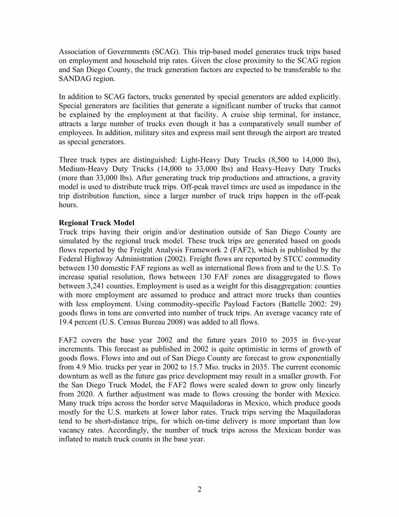
Rolf Moeckel, Parsons Brinkerhoff Introduction In order to address a growing number of freight related policy questions, the San Diego Association of Governments (SANDAG) in association with Parsons Brinkerhoff developed a truck model for the San Diego region. While the main intention of the model is to focus on how transportation network decisions impact regional truck flows, a secondary but critical outcome is the ability to provide more inclusive impacts to regional air quality. The truck model was designed as a first step in a model improvement program to address freight issues in San Diego. A model design was conceived to address both the external and internal influences on truck movements in and thru San Diego. Truck trips in San Diego are greatly influenced by shipping through the US-Mexico border and the Port of San Diego. Separating truck travel out from the passenger travel model allows for increased analysis of benefits for freight related projects. Port accessibility or border related infrastructure projects can be assessed for the relative benefit to goods movement in the region and the direct air quality benefit from heavy duty trucks. Model Design The SANDAG Truck Model actually consists of two truck models. A local truck model simulates truck trips within San Diego County (Internal-Internal or II trips), and a regional truck model simulates truck trips that have an origin and/or destination outside San Diego County (Internal-External or IE/EI/EE trips). This two-layer approach allows differentiating the level of detail for simulating trucks. For a truck trip from, for example, Encinitas to Escondido within San Diego County, the detailed location of both the origin and the destination is of interest to assign truck trips to the right highway link. For a truck trips from San Diego to the Bay Area, however, only the detailed location of the origin is of interest. Whether this long-distance truck trip has San José, Oakland or Berkeley as its final destination is irrelevant to assign the trip to the right network link within San Diego County. Thus, a two-layer approach allows simulating truck trips at the necessary level of detail without carrying a large overhead of unnecessary detail. Local Truck Model The model simulating local truck trips within San Diego County is based on the SCAG Truck Model developed by Cambridge Systematics (2008) for the Southern California
Figure 1: Local and regional truck trips
IE
EI
EE
II
I Internal E External
San Diego County
2
Association of Governments (SCAG). This trip-based model generates truck trips based on employment and household trip rates. Given the close proximity to the SCAG region and San Diego County, the truck generation factors are expected to be transferable to the SANDAG region. In addition to SCAG factors, trucks generated by special generators are added explicitly. Special generators are facilities that generate a significant number of trucks that cannot be explained by the employment at that facility. A cruise ship terminal, for instance, attracts a large number of trucks even though it has a comparatively small number of employees. In addition, military sites and express mail sent through the airport are treated as special generators. Three truck types are distinguished: Light-Heavy Duty Trucks (8,500 to 14,000 lbs), Medium-Heavy Duty Trucks (14,000 to 33,000 lbs) and Heavy-Heavy Duty Trucks (more than 33,000 lbs). After generating truck trip productions and attractions, a gravity model is used to distribute truck trips. Off-peak travel times are used as impedance in the trip distribution function, since a larger number of truck trips happen in the off-peak hours. Regional Truck Model Truck trips having their origin and/or destination outside of San Diego County are simulated by the regional truck model. These truck trips are generated based on goods flows reported by the Freight Analysis Framework 2 (FAF2), which is published by the Federal Highway Administration (2002). Freight flows are reported by STCC commodity between 130 domestic FAF regions as well as international flows from and to the U.S. To increase spatial resolution, flows between 130 FAF zones are disaggregated to flows between 3,241 counties. Employment is used as a weight for this disaggregation: counties with more employment are assumed to produce and attract more trucks than counties with less employment. Using commodity-specific Payload Factors (Battelle 2002: 29) goods flows in tons are converted into number of truck trips. An average vacancy rate of 19.4 percent (U.S. Census Bureau 2008) was added to all flows. FAF2 covers the base year 2002 and the future years 2010 to 2035 in five-year increments. This forecast as published in 2002 is quite optimistic in terms of growth of goods flows. Flows into and out of San Diego County are forecast to grow exponentially from 4.9 Mio. trucks per year in 2002 to 15.7 Mio. trucks in 2035. The current economic downturn as well as the future gas price development may result in a smaller growth. For the San Diego Truck Model, the FAF2 flows were scaled down to grow only linearly from 2020. A further adjustment was made to flows crossing the border with Mexico. Many truck trips across the border serve Maquiladoras in Mexico, which produce goods mostly for the U.S. markets at lower labor rates. Truck trips serving the Maquiladoras tend to be short-distance trips, for which on-time delivery is more important than low vacancy rates. Accordingly, the number of truck trips across the Mexican border was inflated to match truck counts in the base year.

3
Truck Trip Reconciliation The regional truck trips are temporarily assigned to a U.S. highway network to generate truck trip production and attraction at the external stations of San Diego County. The local truck model generates the II truck trips, while the regional truck model provides EI, IE and EE trips. A temporal allocation splits trips into three time-of-day periods, namely AM Peak, PM Peak and Off-Peak. Hourly counts at Weigh-In-Motion (WIM) stations provide factors to split truck flows into the three time-periods. Since border crossings with Mexico are closed for trucks from 8 pm to 5 am, trucks trips to and from the Mexican border crossings are reduced in the Off-Peak period. Figure 2 shows the simulated truck volumes on the SANDAG street network. The highest volumes occur on the I-5 corridor along the coast as well as on I-15 between San Diego and Escondido. The truck model is validated against truck counts at WIM stations (Figure 3). The challenge of validating the model is that trucks are defined differently at the WIM stations than in the truck model. While the WIM stations count trucks by FHWA truck classification based on axles, the model simulates truck by weight class. The WIM counts shown in Figure 3 include FHWA classes 4 through 14 and exclude the large number of pick-up trucks/vans (FHWA class 3). The simulated volumes, however, include trucks and those pick-up trucks with a weight of more than 8,500 lbs. Consequently, it is expected that simulated volumes are slightly higher than observed truck counts.
Figure 2: Modeled Truck trips in the AM Peak period
Figure 3: Validation of simulated truck volumes against WIM station truck counts
4
Air Quality SANDAG uses the California Air Resources Board EMFAC2007 for regional air quality analysis. EMFAC2007 (California Air Resources Board 2006) applies emission factors to travel activity data for 13 vehicles classes and 3 fuel types to determine the amount of emissions in tons per day for various geographic regions in California. Travel activity data consists of vehicle miles traveled (VMT) by vehicle class and fuel, vehicle trips by vehicle class and fuel type, and speed fractions (% of VMT by 5 mph speed bin) by vehicle class. EMFAC2007 has 4 vehicle classes for heavy duty trucks: Light-Heavy Duty 1 (8501-10000), Light-Heavy Duty 2 (10001-14000), Medium-Heavy Duty (14001-33000), and Heavy-Heavy Duty (33001-60000). These four vehicle classes correspond to the vehicle classes from the heavy duty truck model except for light-heavy duty which is combined into one category. Before implementation of the heavy duty truck model any reductions or increases in VMT or trips were assumed to be uniform across all vehicle classes. This assumption was generally acceptable at the regional level but was unreliable when assessing impacts to geographic areas or facilities with higher concentrations of truck trips. The addition of the truck model enables direct modifications of VMT, vehicle trips, and speed breakdowns to the four EMFAC heavy-duty truck vehicle classes. Proposed infrastructure improvements or policies that improve mobility for heavy-duty trucks can then be assessed for air quality benefits. Policy Analysis Similar to planning for future passenger travel demand, it is critical to forecast and analyze future needs for freight movement. Policy makers need solid and fundamental information regarding future demands to provide the San Diego region the vision and direction to build an adequate infrastructure system. The lack of quality information on future demands and impacts of freight on current infrastructure inhibits the regions ability to compete for statewide funding programs such as the $2 billion Trade Corridors Improvement Fund (TCIF) funded by California voters with the passage of Proposition 1B in November 2006. While the San Diego region competed well in the program and was given an allotment of $400 million for 6 projects, it was obvious that SANDAGs analysis tools were not adequate for supporting the decisions policy makers needed to make. The new truck model was designed to provide a tool that can be used for analysis in several key areas:
1. Evaluate and prioritize infrastructure projects with greater emphasis on trade corridors.
2. Analyze impact of trucks on congested facilities. 3. Analyze benefits of future ports of entry with Mexico such as the proposed Otay
Mesa East crossing and the connecting SR11 facility. 4. Examine the air quality benefits or disbenefits from truck travel for freight related
projects. 5. Evaluate the impact of truck tolls or truck restricted routes.
5
Conclusion By definition, a model is a simplified representation of reality. As such, a model has to generalize and reduce details found in real-world truck movements. The current model implementation is a trip-based model, simulating a truck trip from A to B. In reality, however, trucks often make tours with several stops on their route. Mode-choice is not simulated but given exogenously. While raising gas prices may shift goods flows from trucks and airplanes to trains and ships, the model at most would shorten truck routes but not shift modes. Another limitation was the lack of truck counts at a rich spatial and temporal scale. Daily truck counts that allow calculating a reliable Annual Average Daily Truck Volume were available only on major highways, limiting the validation for simulated truck volumes on arterials and minor highways. Although it is necessary to keep these model limitations in mind when analyzing traffic flows, the model is able to represent realistic truck traffic flows and to capture major sensitivities in truck travel behavior. The current truck model implementation is a significant improvement allowing SANDAG to analyze policies changing truck flows. Simulating trucks explicitly allows modeling the impact of truck tolls or truck restrictions on certain roads or the impact of a change in truck fleet compositions on traffic emissions. The current truck model implementation is meant to be a first mile stone for long-term freight modeling. As new requirements to study goods movements arise at SANDAG or better data is collected, model improvements and extensions will be implemented as needed. References Battelle (2002) Freight Analysis Framework Highway Capacity Analysis. Methodology
Report to Office of Freight Management and Operations, U.S. Department of Transportation. Columbus, Ohio.
Cambridge Systematics (2008) SCAG heavy-duty truck model update. Final Report prepared for the Southern California Association of Governments. April 2008. Oakland, CA.
California Air Resources Board (2006) EMFAC2007 version 2.30 User’s Guide. Internet Resource: http://www.arb.ca.gov/msei/onroad/downloads/docs/user_guide_emfac2007.pdf (accessed on May 8, 2009)
Federal Highway Administration (2002) Freight analysis framework (FAF). Internet Resource: http://ops.fhwa.dot.gov/freight/freight_analysis/faf/index.htm (accessed 30 June 2008).
U.S. Census Bureau (2008) Truck Transportation (NAICS 484)—Estimated Number of Truck Miles Traveled by Employer Firms: 1998 Through 2003. Internet resource: http://www.census.gov/svsd/www/sas48-5.pdf (accessed on 22 Dec. 2008).