smarter crop management with real-time drone data€¦ · drone service or software evaluate ......
TRANSCRIPT

Smarter Crop Managementwith Real-Time Drone Data
Agriculture Webinar Series

We’re Recording
Youwillbeprovidedwithaccesstotherecordingandslidesviaemailshortlyafterthelivesession

Today’s AgendaIntroduction to DroneDeployWhy UAVs are Being Put to Work on the FarmLive Map from DroneDeployGathering Real-Time Crop InsightsMaking In-Field Decisions with Drone Data Flight Best Practices Q+A Session

Meet Our Panelists
KyleMiller
Agriculture Business DevelopmentDroneDeploy
AndyPutch
Product ManagerDroneDeploy

DroneDeploy
The Leading Software Platform for Commercial Drones

Best-in-Class Commercial Drone Solution

Trusted By Industry Leaders

25Million Acres
Company Stats
2 Million IMAGES PER WEEK
1,000sOF MAPS PER DAY
50-plusINTEGRATIONS

Largest Drone App Market in the World

Poll
When do you plan to start using drones on the farm / at your company?

Drones in Agriculture

Why Use DroneDeploy on the Farm?Maximize yields and minimize costs with drone mapping
Identify crop stress and variability in minutes
Immediately ground-truth your findings
Make crop management decisions with on-demand data
Explore seasonal trends and plan for the next season

Putting Drone Data to Use

Get Value All Season Long
Crop scoutingDetect crop stress, monitor tests
Soil mappingMap bare soil & evaluate with historic maps
Stand countEvaluate whether to replant in any area
Yield projections Use map to estimate harvest Drainage repair
Evaluate elevation maps
Irrigation OptimizationUsing NDVI, elevation models
Application DecisionsMap to inform variable rate applications for nitrogen, pesticides, etc.
Purchase EquipmentEvaluate and invest in drone, drone service or software
Evaluate & PlanReview season’s maps & tests, compare historical data to plan for next year

Identify Crop Variability Spot crop stress and rapidly eliminate threats to your field
Quickly gather aerial insights in your fields Uncover disease, parasites, fungi, and more with drone imagery Ground-truth your findings and start making informed crop decisions

Ground Truth FindingsSpot crop stress and rapidly eliminate threats to your field
Quickly gather aerial insights in your fields Uncover disease, parasites, fungi, and more with drone imagery Ground-truth your findings and start making informed crop decisions

Introducing Live Map

Real-Time Mapping on Your iPad or iPhone

Justin MetzTechnology Integration Specialist
Bowles Farm
Hours of waiting for crop imagery are over. We can capture real-
time data in seconds without an internet connection, and begin
making smarter crop management decisions before the drone hits
the ground.

See the Big Picture—InstantlyNo SD cards, no laptop, and no waiting
Instant results
On-site decisions
Mobile maps
Crop health in real time

In-Field Data for In-Field DecisionsExamine crops, analyze plant health, and immediately ground truth your findings
Eliminate the need to walk your field or upload images from home
Spot crop variability, stress, and storm damage for immediate investigation
Pin notes to your Live Map as you explore crops and gather samples

Live Map Plant Health Accuracy

Poll
What is the most significant challenge you want address with drones this year?

Getting Started with Live Map
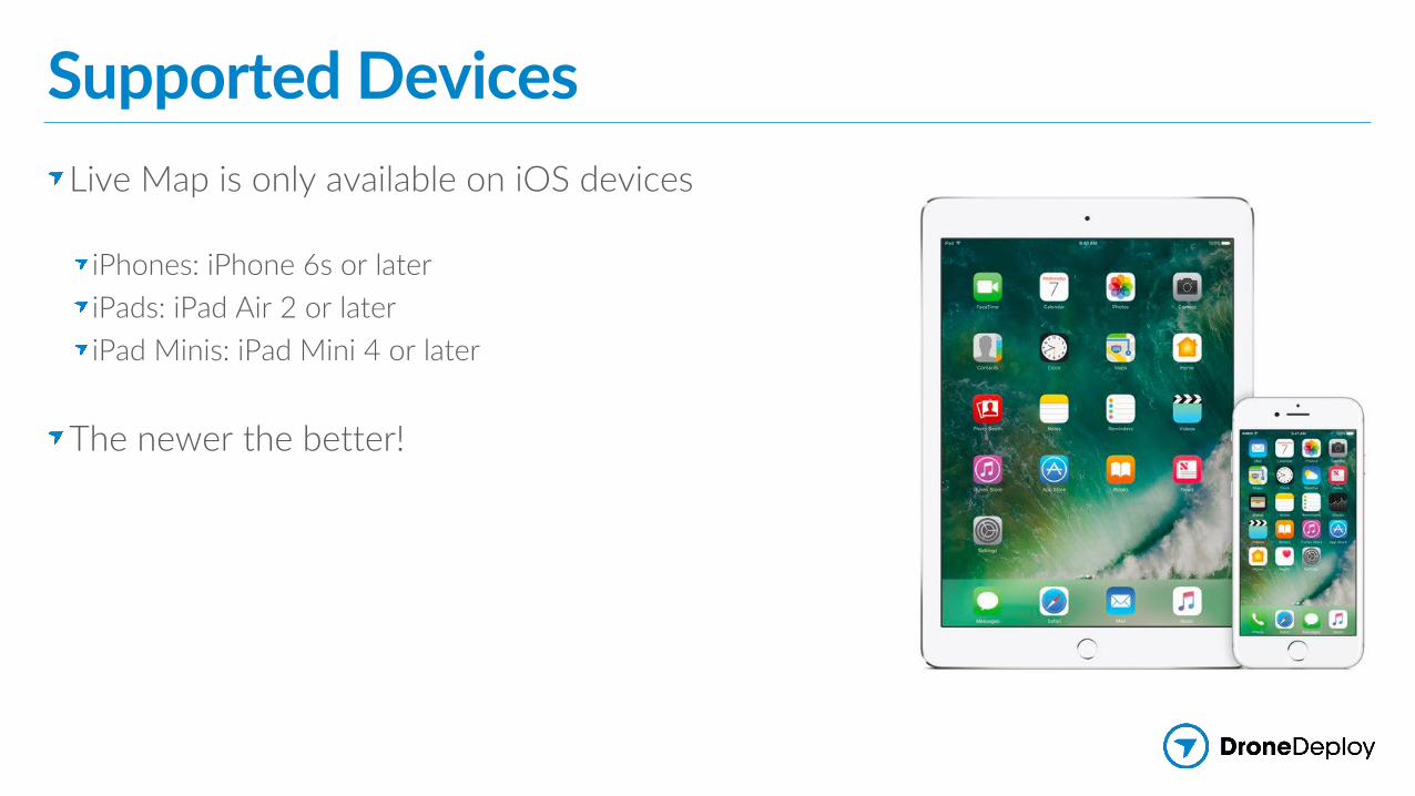
Supported Devices Live Map is only available on iOS devices
iPhones: iPhone 6s or later iPads: iPad Air 2 or later iPad Minis: iPad Mini 4 or later
The newer the better!

Supported DronesLive Map is only supported with DJI drones
DJI Phantom 4 DJI Phantom 4 Pro and Advanced DJI Mavic ProDJI Inspire 2 (X4S Only) DJI M200/M210 (X4S Only)
The newer the better!

Access Live Map

See Instant Crop Health

Best Practices

Flight PlanningRecommended Flight Settings
Altitude: 250 ft. (75 m) or higherOverlap: 65% sidelap and 75% frontlap
Mapping flat areas with tall objects and varied elevation
Don’t fly lower than 150 ft. (45 m) Increase frontlap to 80%

Maintain a Strong Connection with the DroneSome tips for boosting the live video signal
Reduce distance to droneTake off from center of the mission planReduce physical obstructionsPoint controller towards the droneSet DJI channel mode to ”Auto”

Questions

Getting Started with DroneDeploy

Download on the App Store
Get It On Google Play
Start Mapping with DroneDeploy for Free
Sign up at www.DroneDeploy.com
Get the FREE mobile app


Where to Learn More
MoreResourcesatwww.dronedeploy.com/resources
Check out our blog to read more tips and customer stories
Explore our resource page for webinars, eBooks, and more!
