storm surge panel discussion orlando, florida february 10, 2010 ron nash – director, iscm
TRANSCRIPT

Storm Surge Panel Discussion
Orlando, FloridaFebruary 10, 2010
Ron Nash – Director, ISCM

Storm Surge
The goal of this discussion is to address the differences in storm surge loss development by modeling vendors in the Industry.
The database used consists of the following LOB’s and regions.
– Commercial Property
– Homeowners Property
– Northeast Region
– GOM Region
While other LOB’s may contribute to the actual loss, such as auto and inland marine, this exposure is not included in the discussion. We have not included BI loss in the estimates. Keeping it simple!

Vendor Analysis RequestThe requirements are as follows:
1. Full prob analysis using all exposure (GOM and NE) for two separate EP analysis; one with wind only and the other with wind and surge together.
2. A deterministic loss of hurricane Camille using the GOM exposure for two analysis; one with wind only and the other with wind and surge together.
3 A deterministic loss for the historical 1938 hurricane using the Northeast exposure for two analyses; one with wind only and the other with wind and surge together.

SLOSH SLOSH (Sea, Lake and Overland Surges from Hurricanes) is a computerized
model run by the National Hurricane Center (NHC) to estimate storm surge heights and winds resulting from historical, hypothetical, or predicted hurricanes by taking into account
• Pressure • Size • Forward speed • Track • Winds
The point of a hurricane's landfall is crucial to determining which areas will be inundated by the storm surge. Where the hurricane forecast track is inaccurate, SLOSH model results will be inaccurate. The SLOSH model, therefore, is best used for defining the potential maximum surge for a location.

Historical Surge Events• Opal 1995
Hurricane Opal made landfall near Pensacola Beach, Florida as a Category 3 hurricane. The storm caused extensive storm surge damage from Pensacola Beach to Mexico Beach (a span of 120 miles) with a maximum storm tide of 24 feet, recorded near Fort Walton Beach. Damage estimates for Opal were near $3 billion.
• Hugo 1989Devastated the West Indies and the Southeastern United States, including South Carolina cities Charleston and Myrtle Beach. Hugo was responsible for sixty deaths and $7 billion in damages, with a storm surge estimated at 19.8 feet at Romain Retreat, South Carolina.
• Camille 1969A Category 5 hurricane, the most powerful on the Saffir/Simpson Scale with maximum winds of more than 200mph devastated the Mississippi coast. The final death count for the U.S. is listed at 256. This includes 143 on the Gulf coast and another 113 from the Virginia floods. A storm tide of 24.6 ft occurred at Pass Christian, Mississippi. The heaviest rains along the Gulf Coast were about 10 inches.
• Audrey 1957There were 390 deaths as the result of a storm surge in excess of 12 feet, which inundated the flat coast of southwestern Louisiana as far as 25 miles inland in some places.
• New England 1938A fast-moving Category 3 hurricane (the Long Island Express) that struck Long Island and New England with little warning on September 21. A storm surge of 10 to 12 ft inundated the coasts of Rhode Island, Connecticut, southeastern Massachusetts, and Long Island, NY, especially in Narragansett Bay and Buzzards Bay. Six hundred people died due to the storm.
• Okeechobee 1928A Category 4 hurricane that made landfall near Palm Beach on September 16 with a central pressure of 929 mb. The center passed near Lake Okeechobee, causing the lake to overflow its banks and inundate the surrounding area to a depth of 6 to 9 ft. 1,836 people died in Florida, primarily due to the lake surge.
• Galveston 1900More than 6,000 people died when hurricane storm tides (the surge plus the astronomical tide) of 8-15 feet inundated the entire island city of Galveston, Texas.
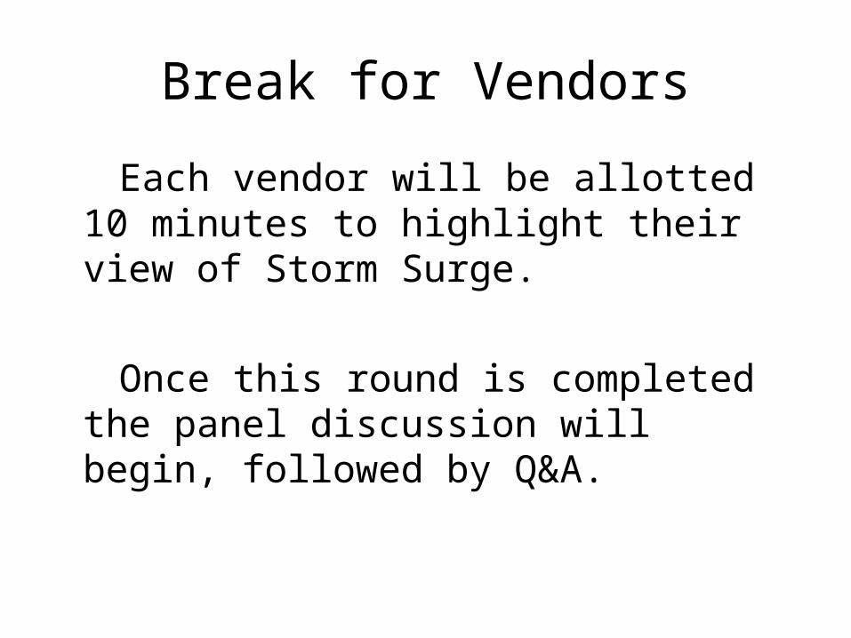
Break for Vendors
Each vendor will be allotted 10 minutes to highlight their view of Storm Surge.
Once this round is completed the panel discussion will begin, followed by Q&A.

GOM Exposure

Hurricane Camille

Northeast Exposure

1938 Hurricane

Historic Loss ComparisonCamille – 1969
(Billions)
Snap Crackle Pop
Wind Only 2.4 1.7 1.6
Wind + Surge 5.0 2.5 1.8
% Change 108% 47% 13%

Historic Loss Comparison New England – 1938
(Billions)
Snap Crackle Pop
Wind Only 2.5 2.1 1.9
Wind + Surge 4.5 2.5 2.1
% Change 80% 19% 11%

1% Gross EP Loss Comparison
(Billions)
Snap Crackle Pop
Wind Only 4.8 6.3 6.3
Wind + Surge 12.5 9.1 7.3
% Change 160% 44% 16%

Q&A