subsidence in louisiana - flood protection … 01... · subsidence in louisiana elevations - a...
TRANSCRIPT

SUBSIDENCE IN LOUISIANA
ELEVATIONS - A
MOVING TARGET
Cliff Mugnier
CHIEF OF GEODESY
CENTER FOR GEOINFORMATICS
LOUISIANA STATE UNIVERSITY
C e n t e r f o r
G e o I n f o r m a t i c s
4

Elevations versus heights
• Elevation benchmarks do not record
ellipsoid heights – a GPS-derivation
• Elevations are based on the tides
– Local mean sea level

Tides
• Diurnal = Gulf of Mexico northern coast
– One high/low tide cycle per day
• Semidiurnal = East & West U.S. coasts
– Two high/lot tide cycles per day
• High tide is 11 minutes later each day
• Affected by storms, geology, variation of the Earth’s density, wobble of Earth & Moon, and the planet Venus (and currents)


tidal benchmarks with a NAVD88 tie
tidal benchmarks without a NAVD88 tie
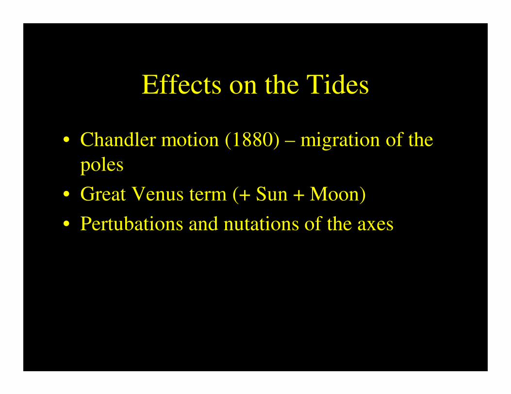
Effects on the Tides
• Chandler motion (1880) – migration of the
poles
• Great Venus term (+ Sun + Moon)
• Pertubations and nutations of the axes

Local Mean Sea Level
• 18.67-year Metonic cycle
• To determine “local mean sea level,” observe tides for at least one Metonic cycle.
• Every 5 years = new tidal Epoch (based on a running average).
• New epochs are published by the International Hydrographic Organization (IHO), Monaco

Types of Tidal Datums
• Mean Higher High Water (MHHW)
• Mean High Water (MHW)
• Mean Tide Level (MTL)
• Diurnal Tide Level (DTL)
• Mean Sea Level (MSL)
• Mean Low Water (MLW)
• Mean Lower Low Water (MLLW)

Elevations and height
• Mathematical equation which models the geoid
• Geoid – an imaginary surface where no
topography exists and the oceans are only subject
to gravity
• Equipotential surface (gravity potential is
constant)
• Not smooth because of composition of the Earth

Geoid models
• Spherical harmonics (polynomials)
• Models the relationship between geoidal
and ellipsoidal heights
H = geoid height (elevation)
h = ellipsoid height (GPS “vertical”)
h H
(Topography)

GEOIDS
• EGM96 – 360 degree/order, 15 minute grid
• GEOID96 – meter level
– NGS, U.S. model
• GEOID99 – decimeter level, 1-minute grid
– NGS, U.S. model
• GEOID03 – decimeter level, 1-minute grid– 10 cm absolute, local is closer to 1 cm relative
– NGS, U.S. model

Historical Leveling in the U. S.
• Corps of Engineers: General Survey of the
Mississippi River in 1876
• Coast & Geodetic Survey Tide Gauges for
Atlantic, Pacific, & Gulf Coasts
• Sea Level Datum of 1929 - First continental
VERTICAL datum in the world
• 26 Tide Gauges for U.S.; Pensacola &
Galveston based on full Metonic Cycles

Year of
Adjustment
Kilometers of
Leveling
Number of
Tide Stations
1900
1903
1907
1912
1929
21,095
31,789
38,359
46,468
75,159 (U.S.)
31,565 (Canada)
5
8
8
9
21 (U.S.)
5 (Canada)

History of Levels in New Orleans
• 1935 – WPA local adjustment to SLD 1929
• 1951 - adjusted forward in time to 1955
• 1955 - tied to Morgan City & Mobile (‘29)
• 1963 - tied to Norco well (‘29 value)
• 1969 - tied to ‘63 lines
– 1973 Federal Register: SLD’29 changed to NGVD 1929
• 1976 - tied to Index, AR & Logtown, MS

1976-77 NGS Leveling
(funded by Corps of Engineers)
• Start at Index, Arkansas,
• through Simmsport, LA to:
• Morgan City & Baton Rouge, both then to:
• New Orleans, thence to:
• Venice, LA (spur) and Logtown, MS to
close the line.
• … and $1,500,000.00 later,

Surprise! There’s subsidence
way down yonder …
• Allowable misclosure for 530 kilometers of
levels was 92 mm,
• Actual misclosure was 86 mm, but
• Too much error manifested in Metro New
Orleans to close locally.
• 1978 National Geodetic Survey changes
name from SLD 1929 to NGVD 1929
• Let’s do a “Regional Paper Adjustment.”

1982-83 NGS Regional
Adjustment of South Louisiana
Catastrophic Floods of :
May 3, 1979; April 12-13, 1980
• Orleans, Jefferson, and Plaquemines
Parishes funded NGS to re-observe BMs.
• Corps of Engineers concerned with the
“NGS FREE ADJUSTMENT”
• Deep casement marks introduced

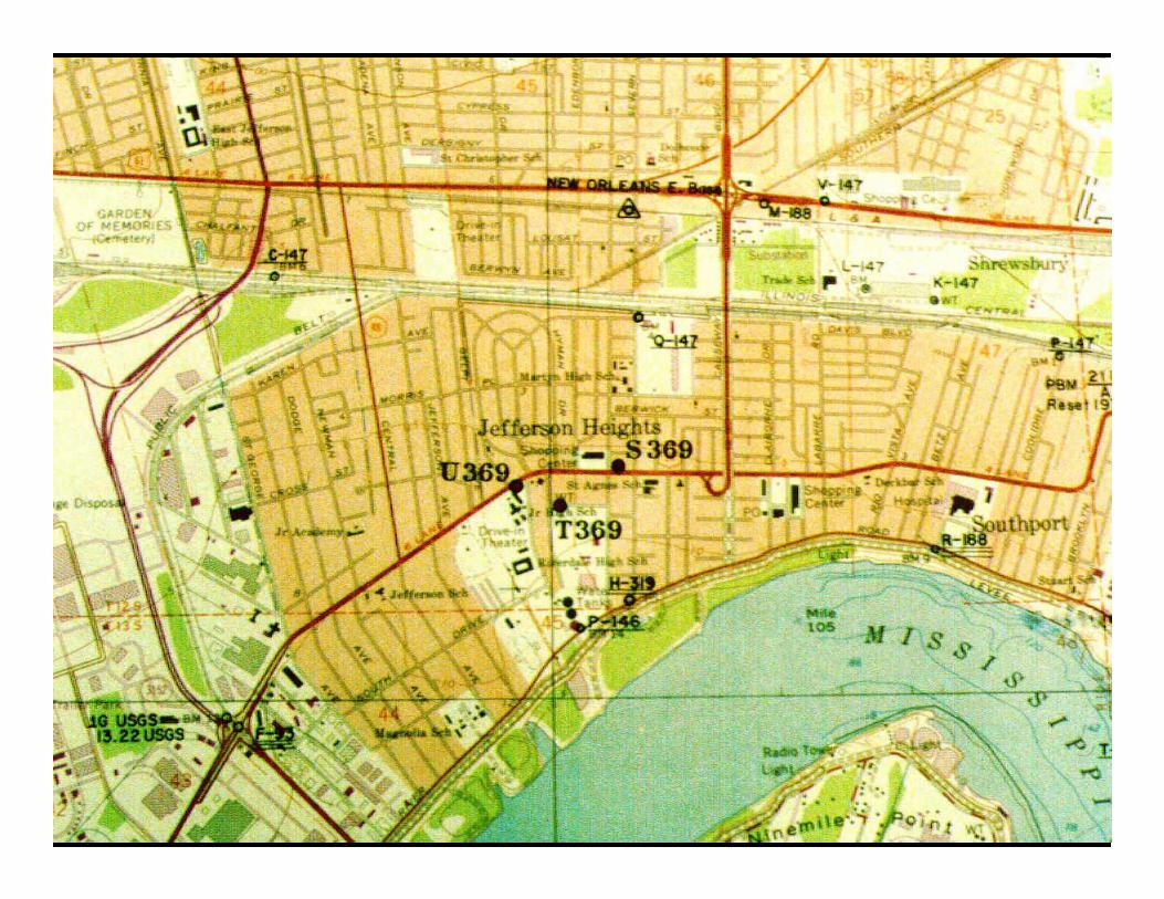
Local Governments fund
Geodetic Surveys in 1986-88
• Jefferson Parish Benchmark System
– Entire East Bank
– Metro West Bank and south to Lafitte
– Relative gravity observed at ~350 benchmarks
• St. Bernard Parish Benchmark System
– IHNC to Reggio
– Relative gravity observed at ~100 benchmarks

North American Vertical Datum
of 1988
Actual published data available
starting in 1990
No data available for South Louisiana
(Crustal Motion Area)
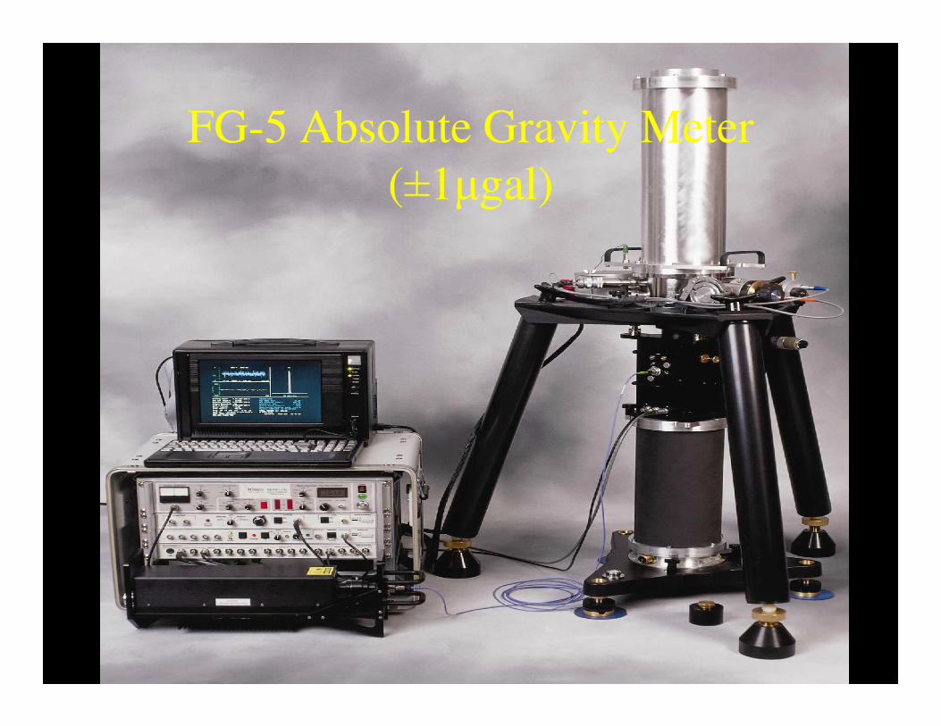
FG-5 Absolute Gravity Meter
(±1µgal)

• The acceleration due to gravity at the
Earth's surface is 976 to 983 gal, depending
on the latitude and the ellipsoid height
• A µgal is one-millionth of a gal!
– (That’s nine significant figures.)

Absolute Gravity Observed in
New Orleans:
March, 1989 979,316,847.7 µgals
Sept., 1991 979,316,854.2 µgals
(-0.91 centimeters per year)

National Geodetic Survey returns
to New Orleans
• 1991-92 Field Observations in “support” of
Orleans Parish GeoCadastre
• Lines tied to:
– J-92 (Rigolets Bridge)
– Vets Blvd. @ Orleans Parish Line

1993 Adjustment by NGS for
Subsidence Zone Elevations
• Last visit to New Orleans for the century
• National Geodetic Survey loses funding for
Long Line Leveling Crew
• GPS Constellation continues to grow
• Defense Mapping Agency downgrades
security classification on the GEOID

Absolute Gravity Observed in
New Orleans:
Nov., 1993 979,316,856.3 µgals
Aug., 1994 979,316,860.6 µgals
(-0.91 centimeters per year)

Defense Mapping Agency awards
$1,000,000 contract to re-
compute the GEOID


GEOID03
• Released in 2003,
• Updated in 2005 for South Louisiana
• Accuracy is claimed to be ±1 centimeter !


Absolute Gravity Observations
• In 2002:– UNO (5th time)
– Stennis Space Center (2nd)
– Loyola University
– Southeastern Louisiana Univ.
– LSU
– McNeese State Univ.
– Venice-Boothville H.S.
– LUMCON @ Cocodrie
– Oakdale H.S.
– LSU Alexandria
– Old River Aux. Control Structure
– Nicholls State Univ.
– Univ. of Louisiana in Lafayette
– Northwestern State Univ.
– Sicily Island H.S.
– LSU Shreveport
– Louisiana Tech Univ.
• In 2006:– UNO (6th time)
– Stennis Space Center (3rd)
– Loyola University (2nd)
– Southeastern Louisiana Univ. (2nd)
– LSU (2nd)
– McNeese State Univ. (2nd)
– Venice-Boothville H.S. (2nd)
– LUMCON @ Cocodrie (2nd)
– Oakdale H.S. (2nd)
– LSU Alexandria (2nd)
– Old River Aux. Control Structure (2nd)
– Nicholls State Univ. (2nd)
– Univ. of Louisiana in Lafayette (2nd)
– Grand Isle U.S.C.G. Station
– Lamar Univ. in Beaumont
– Univ. of Mississippi in Hattiesburg

Subsidence is caused by both natural and human-
induced processes:
• Natural processes
• Sediment compaction
• Sediment consolidation
• Compaction of semi-lithified rock
• Major, regional faulting
• Sediment load-induced down-warping
• Salt evacuation
• Human-induced processes
• Organic sediment decomposition due to drainage projects
• Groundwater extraction-compaction of shallow aquitards (clays)
• Groundwater extraction-compaction of shallow aquifers (sands)
• Oil/gas extraction related-compaction of aquitards (clays)
• Area of subsidence restricted to ONLY the area of the oil/gas field
• Oil/gas extraction related-compaction of aquifers (sands)
• Area of subsidence restricted to ONLY the area of the oil/gas field
• Fault motion – induced by shallow groundwater withdrawal


The Michoud Fault


Subsidence

Subsidence
at Cocodrie

The Baton Rouge Fault -5mm/yr

NAD83(CORS96) -to- NAD83(2011)
From GULFNet to C4GNet
Bursa-Wolf Model
Solution for 3 Translation, 1 Scale and 3 Rotation Parameters
DX DY DZ Scale-1 Omega_z Psi_y Epsilon_x
Meters Meters Meters (x10^6) Seconds Seconds Seconds
-0.36 0.12 0.08 0.01 -0.01 -0.01 0.00
±0.16 ±0.11 ±0.15 ±0.01 ±0.00 ±0.00 ±0.01

