the scorpio trail: a racial storyscape of columbia, missouri, kristin
TRANSCRIPT

Scorpio (Columbia, Missouri)
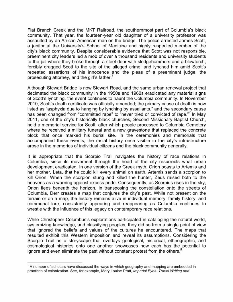
The Scorpio Trail: A Racial Storyscape of Columbia, Missouri by Kristin Schwain Perhaps the most representative visual product of the Western Age of Exploration was the map. Created by European cartographers who drew heavily on the navigational charts of Christopher Columbus and other explorers, world maps did far more than depict coastlines, harbors, and islands. They translated the cultural encounters that gave rise to this information into particularly Western and Christian ways of knowing by systematizing the natural world; establishing trade routes for the economic exchange of goods and peoples; and classifying civilizations into cultural and racial hierarchies.1 Robert Ladislas Derr explores the city of Columbia, Missouri, by projecting the Scorpio constellation onto the city’s streets. The route that results from this intermingling of happenstance, astronomy, and decades of urban development directs him through the heart of Columbia geographically and historically. The Scorpio Trail begins at a corner just west of Cemetery Hill; snakes around areas once known as Flat Branch, Sharp End, and West End; and ends two blocks before Railroad Row. These appellations may not be familiar to residents today, but they refer to the original city center, and later, the hub of African American economic and cultural life for over a century.2 (fig.1)While Derr’s path marks this historic boundary between white and black space in the city, the only traces of the legal, economic, and social battles over it appear in personal memories, communal stories, and contemporary race relations. The terrain itself – and the contemporary maps that represent it – yield little evidence of this contentious past. Columbia’s founders situated the city’s business center – Market Square – in Flat Branch, a bottomland near Hickson and Flat Branch Creeks. Leaders soon deserted the floodplain since the water that ran through it made the roads nearly impassable in wet weather. When they relocated the business district to its current location on 8th and 9th Streets, free blacks moved into the deserted area and created an African American commercial and cultural hub. In the ensuing decades, the area became increasingly divorced from Columbia’s white community and riddled with poverty and disease as officials failed to pave roads, blocked access to city services, and utilized Flat Branch Creek as part of the sewer system. In the 1950s and 1960s, the City of Columbia initiated urban renewal projects that cleared over 126 acres of land in Flat Branch and Sharp End – areas that housed black families and businesses, including law firms,

doctors’ offices, hotels, taverns, bowling alleys, and restaurants. In the process of forcing the two creeks underground, tearing down homes and buildings, and rerouting major thoroughfares, the city destroyed the physical remains of Columbia’s original city center as well as the heart of the city’s century-old African American community.
The Scorpio Trail does more than follow the border that divided white and black space in 19th-20th century Columbia; it also crosses the site of the most dramatic and violent encounter between the two communities. In 1923, a steel and concrete bridge connected the University of Missouri with a white, middle-class neighborhood with large modern houses that were wired for electricity and connected to city services through underground gas, water, and sewer lines. Stewart Bridge, as it was called, also crossed
Flat Branch Creek and the MKT Railroad, the southernmost part of Columbia’s black community. That year, the fourteen-year old daughter of a university professor was assaulted by an African-American man on the bridge. The police arrested James Scott, a janitor at the University’s School of Medicine and highly respected member of the city’s black community. Despite considerable evidence that Scott was not responsible, preeminent city leaders led a mob of over a thousand residents and university students to the jail where they broke through a steel door with sledgehammers and a blowtorch; forcibly dragged Scott to the site of the alleged crime; and lynched him amid Scott’s repeated assertions of his innocence and the pleas of a preeminent judge, the prosecuting attorney, and the girl’s father.3 Although Stewart Bridge is now Stewart Road, and the same urban renewal project that decimated the black community in the 1950s and 1960s eradicated any material signs of Scott’s lynching, the event continues to haunt the Columbia community. In November 2010, Scott’s death certificate was officially amended; the primary cause of death is now listed as “asphyxia due to hanging by lynching by assailants,” and the secondary cause has been changed from “committed rape” to “never tried or convicted of rape.”4 In May 2011, one of the city’s historically black churches, Second Missionary Baptist Church, held a memorial service for Scott, after which people processed to Columbia Cemetery where he received a military funeral and a new gravestone that replaced the concrete block that once marked his burial site. In the ceremonies and memorials that accompanied these events, the racial history once visible in the city’s infrastructure arose in the memories of individual citizens and the black community generally. It is appropriate that the Scorpio Trail navigates the history of race relations in Columbia, since its movement through the heart of the city resurrects what urban development eradicated. In one version of the Greek myth, Orion boasts to Artemis and her mother, Leta, that he could kill every animal on earth. Artemis sends a scorpion to kill Orion. When the scorpion stung and killed the hunter, Zeus raised both to the heavens as a warning against excess pride. Consequently, as Scorpius rises in the sky, Orion flees beneath the horizon. In transposing the constellation onto the streets of Columbia, Derr creates a map that conjures the city’s past. While not present on the terrain or on a map, the history remains alive in individual memory, family history, and communal lore, consistently appearing and reappearing as Columbia continues to wrestle with the influence of this legacy on contemporary race relations. While Christopher Columbus’s explorations participated in cataloging the natural world, systemizing knowledge, and classifying peoples, they did so from a single point of view that ignored the beliefs and values of the cultures he encountered. The maps that resulted exhibit this Western imposition and reveal its assumptions. Considering the Scorpio Trail as a storyscape that overlays geological, historical, ethnographic, and cosmological histories onto one another showcases how each has the potential to ignore and even eliminate the past without constant protest from the others.5 1 A number of scholars have discussed the ways in which geography and mapping are embedded in practices of colonization. See, for example, Mary Louise Pratt, Imperial Eyes: Travel Writing and

Transculturation (New York: Routledge University Press, 1992); and Linda Tuhiwai Smith, Decolonizing Methodologies: Research and Indigenous Peoples (London and New York: Zed Books Ltd, 1999). 2 Jason Jindrich, “’Our Black Children’: The Evolution of Black Space in Columbia, Missouri” (M.A. Thesis, University of Missouri-Columbia, 2002). I reference his map of black neighborhoods in Figure 1; his appears on page 20. 3 Douglas Hunt, “A Course in Applied Lynching,” The Missouri Review 27, no. 2 (Summer 2004): 122-170. 4 Alan Scher Zagier, “Mo. corrects record on 1923 college-town lynching,” St. Louis Post-Dispatch, November 8, 2010, accessed September 21, 2012, http://www.stltoday.com/news/local/metro/mo-corrects-record-on-college-town-lynching/article_c4f5c44e-eb9c-11df-9ab9-00127992bc8b.html. A number of local newspapers covered these events extensively, including The Columbia Daily Tribune and the Columbia Missourian. I have relied heavily on their reporting. 5 I am thankful to Mark Palmer in the Department of Geography at the University of Missouri-Columbia for introducing me to the idea of "storyscapes” as a means to decolonize the practice of geography; bridge knowledge bases and systems; and introduce personal and communal understandings of space, or “counter-maps,” into an analysis of place.
About the Author After completing her PhD in Art History and Humanities at Stanford University in 2001, Schwain started teaching American art history at the University of Missouri-Columbia. Her research focuses on the intersection of American art and religion; the history of American modernism, especially the influence of mass and commercial culture to its development; and the role of European exploration and the African diaspora in the art of the Americas.