the top of a canyon rim shows a prehistoric plateau. canyon wall shows layers of sediment that once...
TRANSCRIPT

The top of a Canyon rim shows a prehistoric plateau.
Canyon wall shows layers of sediment that once lay buried below the surface.

Millions of years ago the land in large parts of the western United States was covered by shallow sea.Over time sediment was deposited on the seafloor and the ocean was drained leaving dry flat land.

Running water in the form of rain, floods, and mighty rivers cut gullies into the rock surface leaving behind higher formations.

When the water disappears, only the mesas remain.
Freezing and thawing has weathered much of the rock allowing erosion to create unique landforms.

Freezing and thawing has weathered much of the rock allowing erosion to create unique landforms.

Erosion has carved many landforms such as mesas, cliffs, ridges and peaks in the canyon.

Wind, rain, gravity and the flowing river will continue to carve new features.

Glaciers are like rivers of ice that flow down between the mountains scraping and dragging rocks .

They carve out unique U-shaped valleys between ridges and peaks.

Glaciers often leave Basins cut into
the Mountain sides which fill with
water become Lakes.

Glaciers that melt away leave not only the rock, soil and pebbles carried from far off mountaintops but often create lakes trapped behind an unmoved mountain ridge.
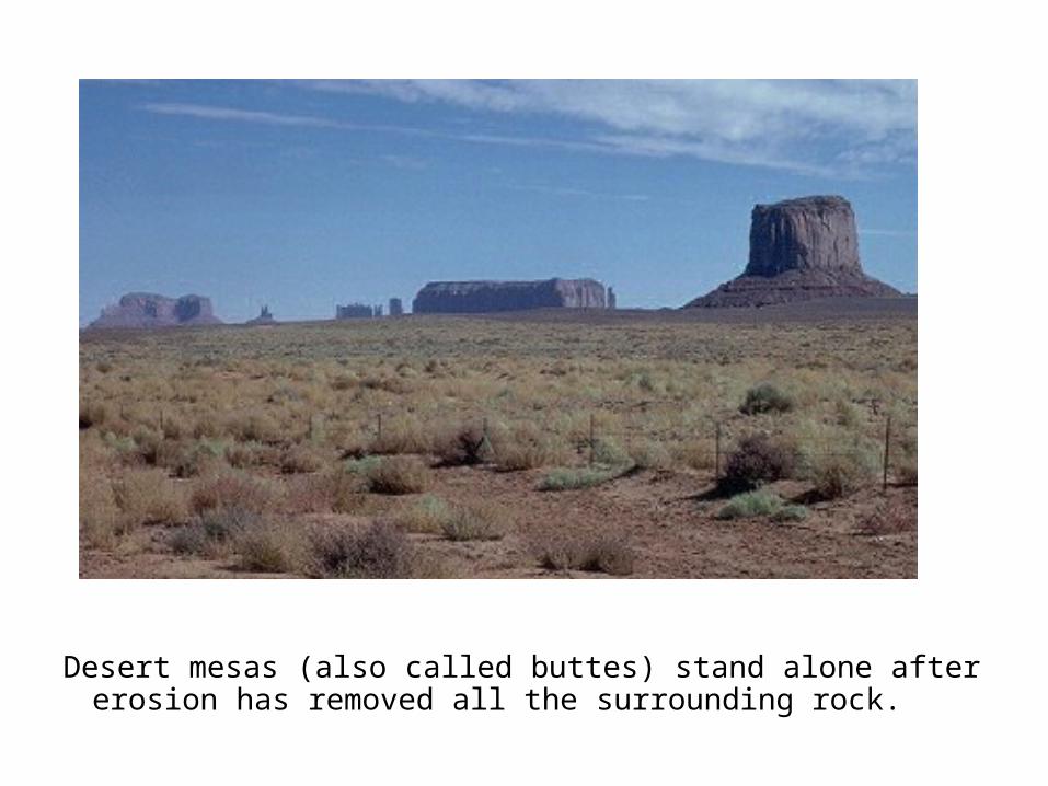
Desert mesas (also called buttes) stand alone after erosion has removed all the surrounding rock.

A rock island can be formed as the coastline is eroded away from a peninsula sticking out into the water