the western ghats sentinel landscape: a platform to
TRANSCRIPT

Siddappa Setty ([email protected]) Ashoka Trust for Research in Ecology and the Environment, Bangalore
The Western Ghats Sentinel landscape: a platform to coordinate research efforts

ATREE Mission To promote socially just environmental conservation and
sustainable development by generating rigorous interdisciplinary knowledge that engages actively with academia, policy makers, practitioners, students and
wider public audiences
GEOGRAPHICAL FOCUS Biodiversity Hotspots Western Ghats and Eastern Himalayas

Our interlinked objectives Engage
the state, society, industry and media
Educate key leadership
groups
Generate Interdisciplinary
knowledge

Suri Sehgal Centre for
Biodiversity and Conservation
Centre for Environment
and Development
How are we organized?
The Academy for Conservation Science and
Sustainability Studies
Cross-cutting themes
• Climate Change • Governance

Sentinel landscape

Western Ghats
Western Ghats Length = 1,600 km Average width = 100 km Highest peak = 2,695 Area = 1,60,000 sq km Protected are = 17,000 sq km Plant species = 4,780 (46% endemic) Rainfall = 2,500 mm 58 protected area 14 National parks 44 Wildlife sanctuaries


Sent inel Landscape • Functional corridors for wildlife conservation • Biodiversity hotspot • Junction between eastern and western ghats • Change in management status • Change in agricultural and forest landscape • Long-term monitoring data


The Biligiri Ranga Swamy Temple Wildlife Sanctuary in Karnataka, India
Home to an indigenous group of people, the Soligas. Area is about 540 km2. Junction between Western and Eastern Ghats.
Includes about 1000 species of higher plants, 26 species of mammals, 215 species of birds, and at least 116 species of butterflies.

FOREST CORE
FOREST BUFFER
FOREST-FRINGE AGRICULTURE
MAINSTREAM AGRICULTURE
“INTERACTIVE EDGE” FOREST-
AGRICULTURE ECOTONE
River systems
Pollinators
Dispersers

Forest-Agriculture Ecotones
• Small land holdings 1-2 acres •Agriculture is adapted to the subsistence needs • Human-animal conflicts • Soil and water loss • Erosion of traditional knowledge

• Shifting-agriculture before 1972 • Settled agriculture after 1972 • Tiger reserve status in 2011

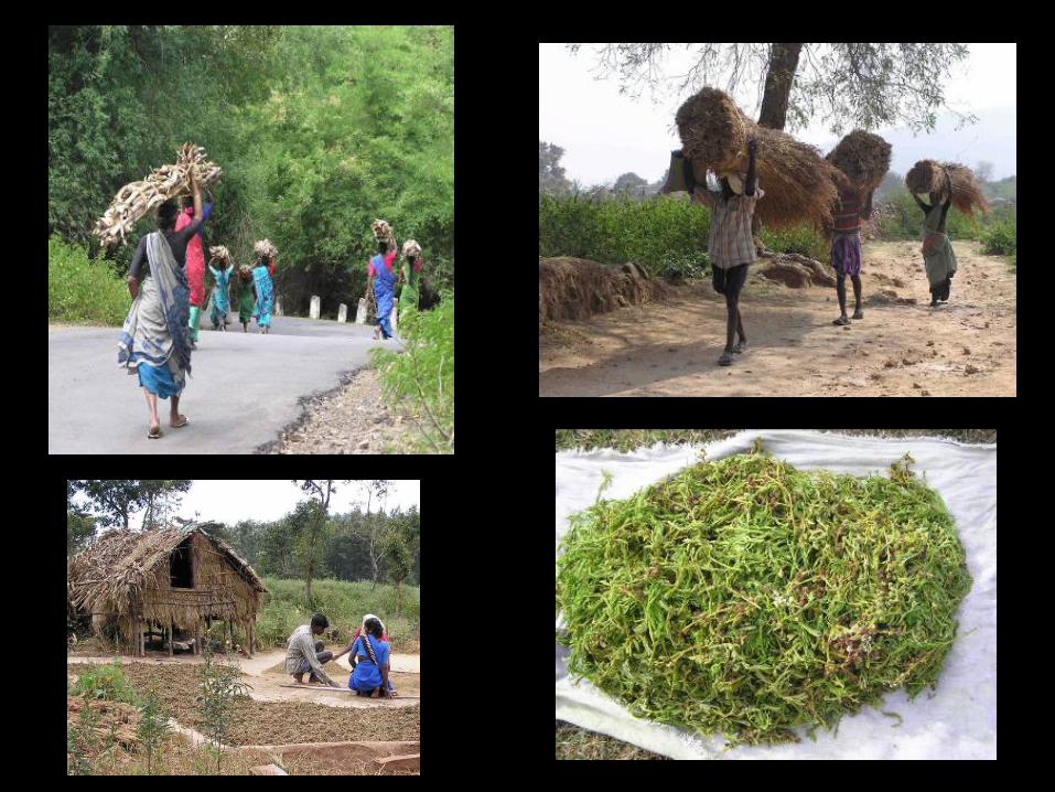
Crop and seed diversity

Diversity of Amaranthus and traditional sweets

Native Bananas 10 varieties of Banana
Vegetable Garden

Seed conservation Name Varieties
Finger millets 27 Beans 56 Maize 5 Caster 7 Pumpkin 6 Chilly 6
Total seed diversity recorded 157

Change in Agriculture System:
Most of the farmers started growing shade-coffee at high altitude.
Native crop diversity is being decreased.

Drivers of forest change FIRE: the control rather than the use
Lantana: increase in and therefore changing forest composition

Rapid spread of lantana 1997-2008 Lantana
stems/hectare
1997 2008
Non-lantana stems 9989 (95.7%) 6213 (66.2%)
Lantana stems 451 (4.3%) 3160 (33.7%)
1997 2008

Tribal Forest Rights Act 2006 Main objectives – Correction of historical injustice – Secure livelihoods and cultures

• Empowerment to protect habitat against destructive forces
• Gram sabha responsibilities to protect wildlife and forests.

Sacred sites
400 sacred sites

Institutional Mapping in the WGSL site
Contribution from the AgroParisTech-ATREE team
Pierre-Marie Aubert — [email protected] — +33 467 047 127 AgroParisTech Sentinel Landscapes Workshop, Costa Rica — 3/3 to 8/3
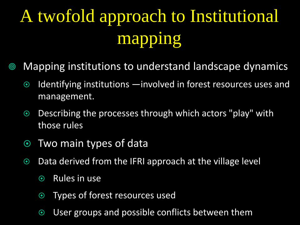
A twofold approach to Institutional mapping
Mapping institutions to understand landscape dynamics Identifying institutions —involved in forest resources uses and
management.
Describing the processes through which actors "play" with those rules
Two main types of data Data derived from the IFRI approach at the village level
Rules in use
Types of forest resources used
User groups and possible conflicts between them

Coorg: the importance of the coffee sector (1)
Source : Institut Français de Pondichéry, 2007
Over the past 30 years: Coffee cultivation has doubled, while forest area has reduced by 30%

Coorg: the importance of the coffee sector
An analysis conduced over the past 4 years, results to be presented in June 2014. 161 interviews carried out with various actors

Chamarajanagar: the implementation of the FRA, main driver of landscape changes?
52% of the district is covered by protected areas and other areas being agricultural lands
Several tribes live in these forests and claim for land rights
The impact of the Forest Rights Act, 2006
It gives them rights: over forest land and forest products…
An overall question: How does the implementation of the FRA affect landscape changes in the Chamarajanagar district?
