tools historians use to analyze and organize...
TRANSCRIPT
Tools to Organize and Analyze the Past – Using Spatial Scales
Unit 1 Lesson 9 Content Expectations
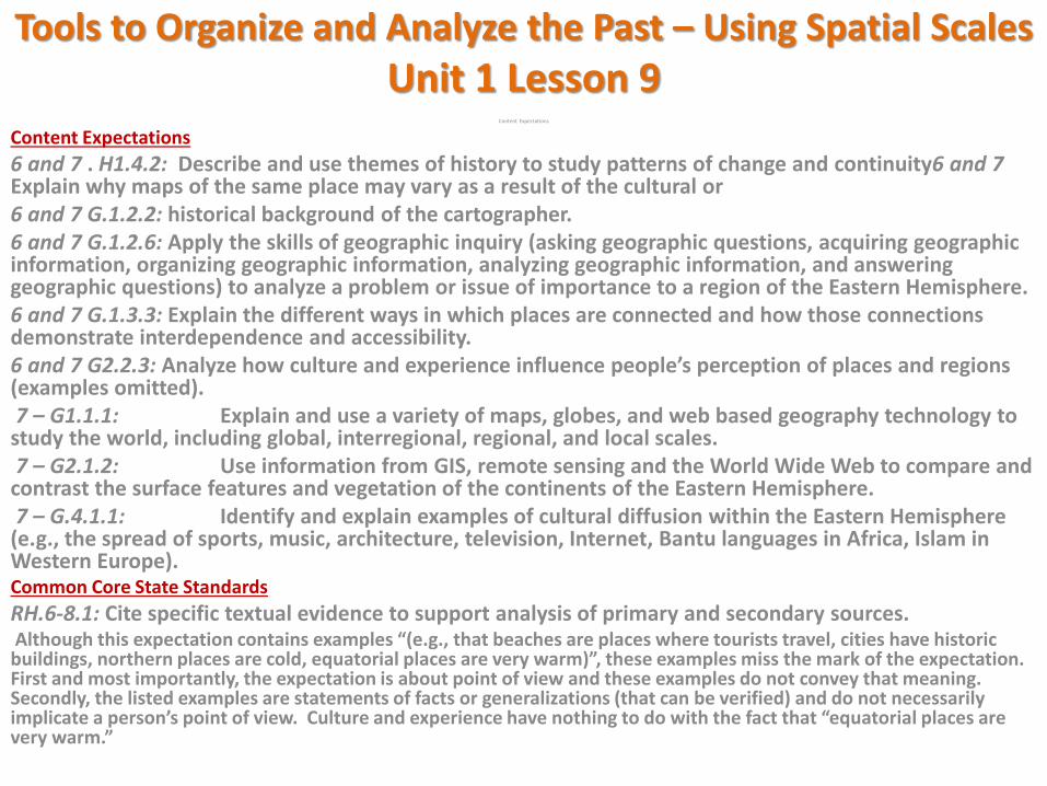
Content Expectations
6 and 7 . H1.4.2: Describe and use themes of history to study patterns of change and continuity6 and 7 Explain why maps of the same place may vary as a result of the cultural or 6 and 7 G.1.2.2: historical background of the cartographer. 6 and 7 G.1.2.6: Apply the skills of geographic inquiry (asking geographic questions, acquiring geographic information, organizing geographic information, analyzing geographic information, and answering geographic questions) to analyze a problem or issue of importance to a region of the Eastern Hemisphere. 6 and 7 G.1.3.3: Explain the different ways in which places are connected and how those connections demonstrate interdependence and accessibility. 6 and 7 G2.2.3: Analyze how culture and experience influence people’s perception of places and regions (examples omitted). 7 – G1.1.1: Explain and use a variety of maps, globes, and web based geography technology to study the world, including global, interregional, regional, and local scales. 7 – G2.1.2: Use information from GIS, remote sensing and the World Wide Web to compare and contrast the surface features and vegetation of the continents of the Eastern Hemisphere. 7 – G.4.1.1: Identify and explain examples of cultural diffusion within the Eastern Hemisphere (e.g., the spread of sports, music, architecture, television, Internet, Bantu languages in Africa, Islam in Western Europe). Common Core State Standards
RH.6-8.1: Cite specific textual evidence to support analysis of primary and secondary sources. Although this expectation contains examples “(e.g., that beaches are places where tourists travel, cities have historic buildings, northern places are cold, equatorial places are very warm)”, these examples miss the mark of the expectation. First and most importantly, the expectation is about point of view and these examples do not convey that meaning. Secondly, the listed examples are statements of facts or generalizations (that can be verified) and do not necessarily implicate a person’s point of view. Culture and experience have nothing to do with the fact that “equatorial places are very warm.”
Tools to Organize and Analyze the Past – Using Spatial Scales
Tools to Organize and Analyze the Past – Using Spatial Scales
Learning Targets:
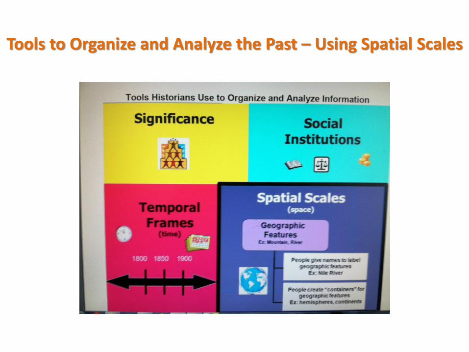
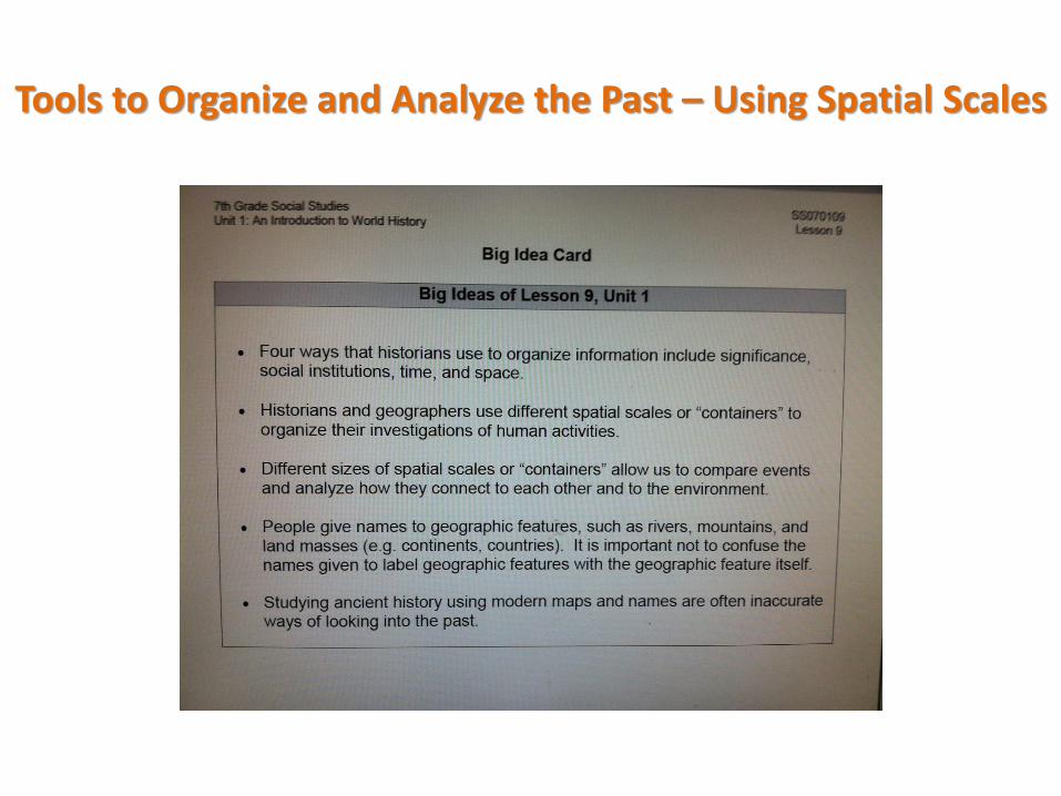
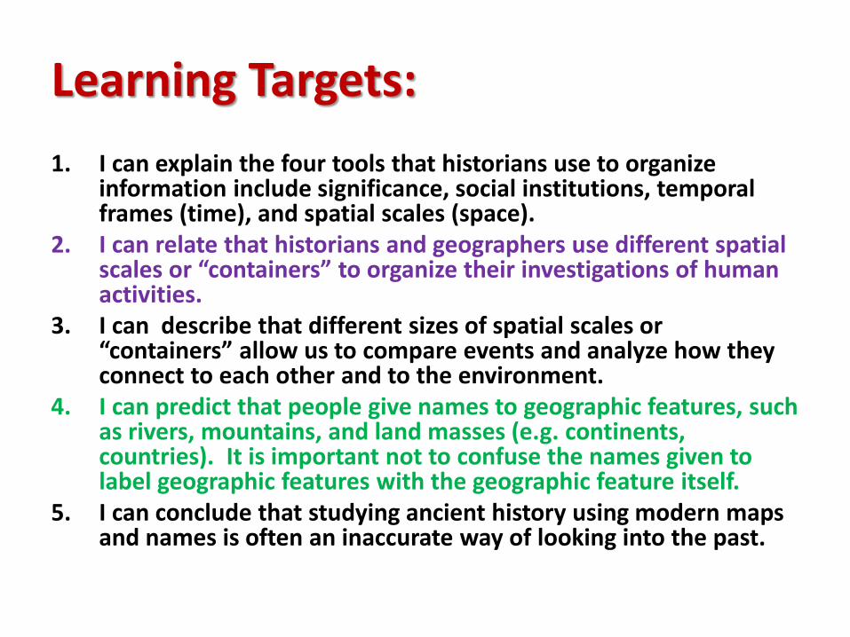
1. I can explain the four tools that historians use to organize information include significance, social institutions, temporal frames (time), and spatial scales (space).
2. I can relate that historians and geographers use different spatial scales or “containers” to organize their investigations of human activities.
3. I can describe that different sizes of spatial scales or “containers” allow us to compare events and analyze how they connect to each other and to the environment.
4. I can predict that people give names to geographic features, such as rivers, mountains, and land masses (e.g. continents, countries). It is important not to confuse the names given to label geographic features with the geographic feature itself.
5. I can conclude that studying ancient history using modern maps and names is often an inaccurate way of looking into the past.
Learning Target:
I can explain the four tools that historians use to organize information include significance, social institutions, temporal frames (time), and spatial scales (space).
Learning Target:
I can relate that historians and geographers use different spatial scales or “containers” to organize their investigations of human activities.
Learning Target:
I can describe that different sizes of spatial scales or “containers” allow us to compare events and analyze how they connect to each other and to the environment.
Learning Target:
I can predict that people give names to geographic features, such as rivers, mountains, and land masses (e.g. continents, countries). It is important not to confuse the names given to label geographic features with the geographic feature itself.
Learning Target:
I can conclude that studying ancient history using modern maps and names is often an inaccurate way of looking into the past.
Tools to Organize and Analyze the Past – Using Spatial Scales
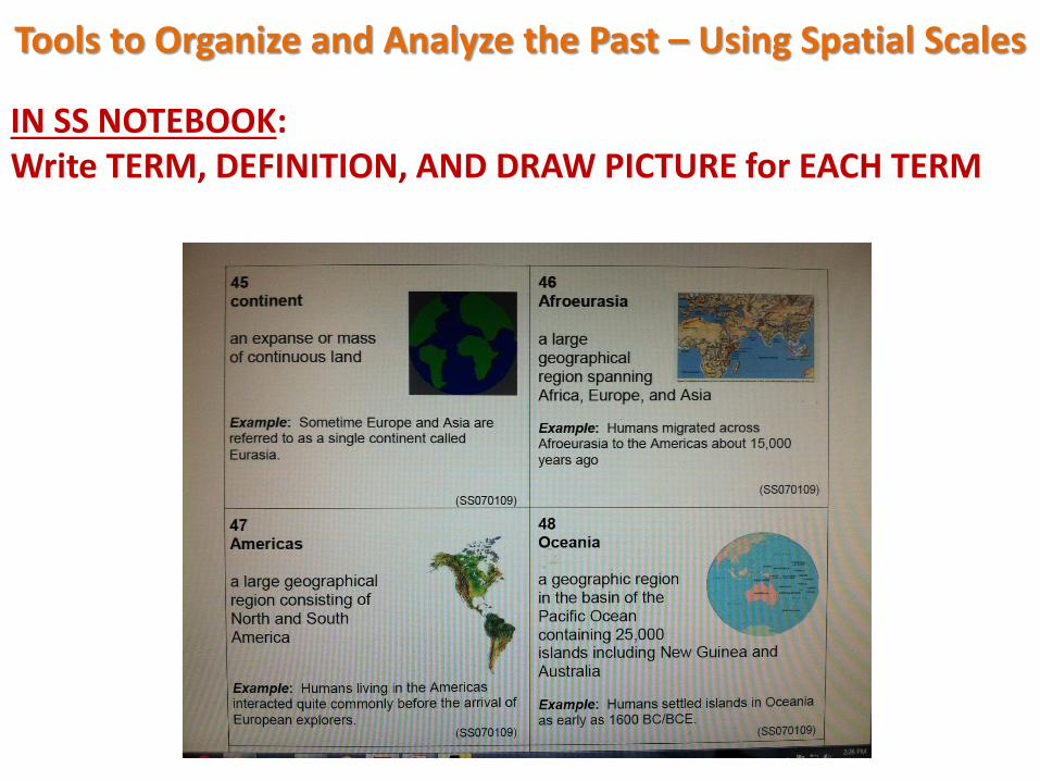
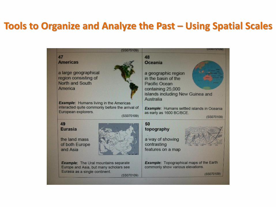
IN SS NOTEBOOK: Write TERM, DEFINITION, AND DRAW PICTURE for EACH TERM
Tools to Organize and Analyze the Past – Using Spatial Scales
Tools to Organize and Analyze the Past – Using Spatial Scales #1
THINK about the following problems:
• What challenges do historians face in using maps created in the present time to study the past?
• What challenges do historians face in using old maps to study the past?
DO NOT ANSWER YET.
YOU WILL BE INVESTIGATING THESE QUESTIONS IN THE LESSON.
Tools to Organize and Analyze the Past – Using Spatial Scales #2
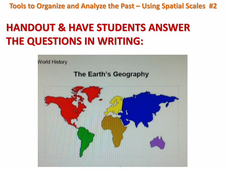
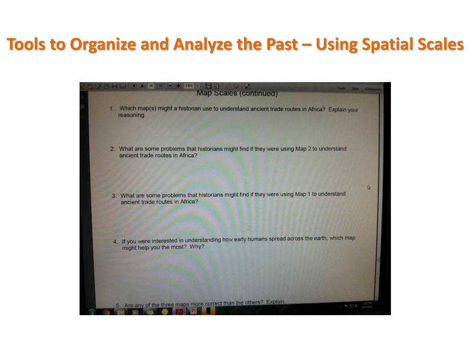
HANDOUT & HAVE STUDENTS ANSWER THE QUESTIONS IN WRITING:
Tools to Organize and Analyze the Past – Using Spatial Scales #2
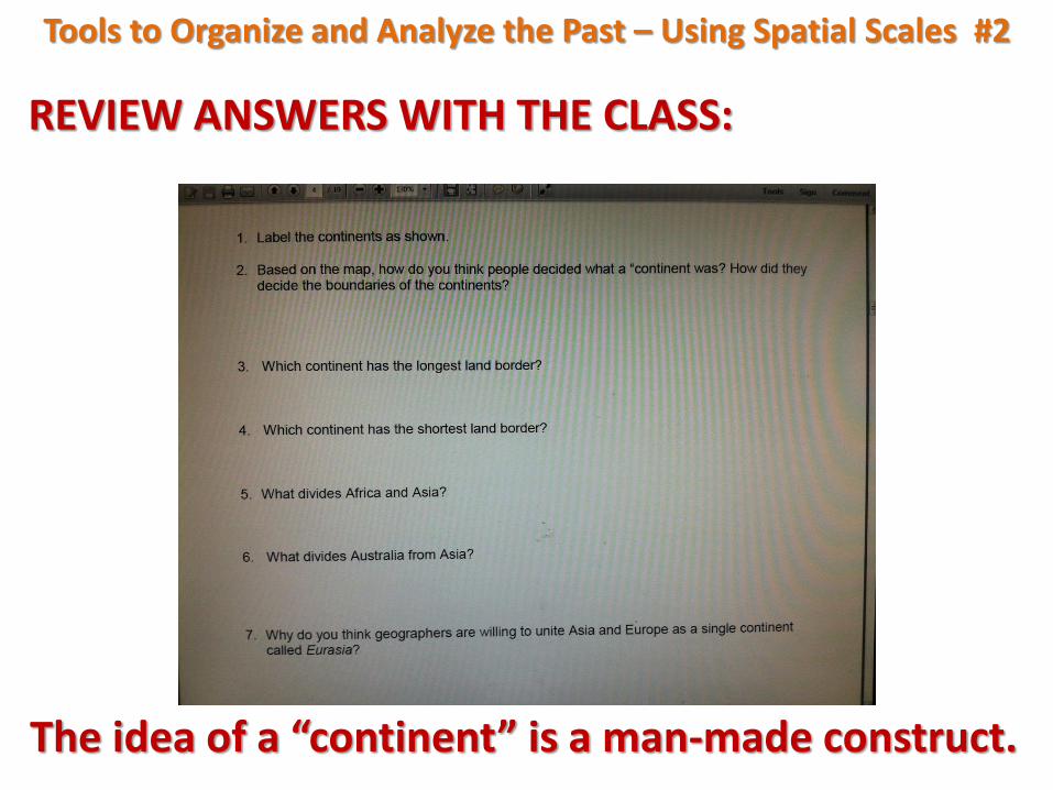
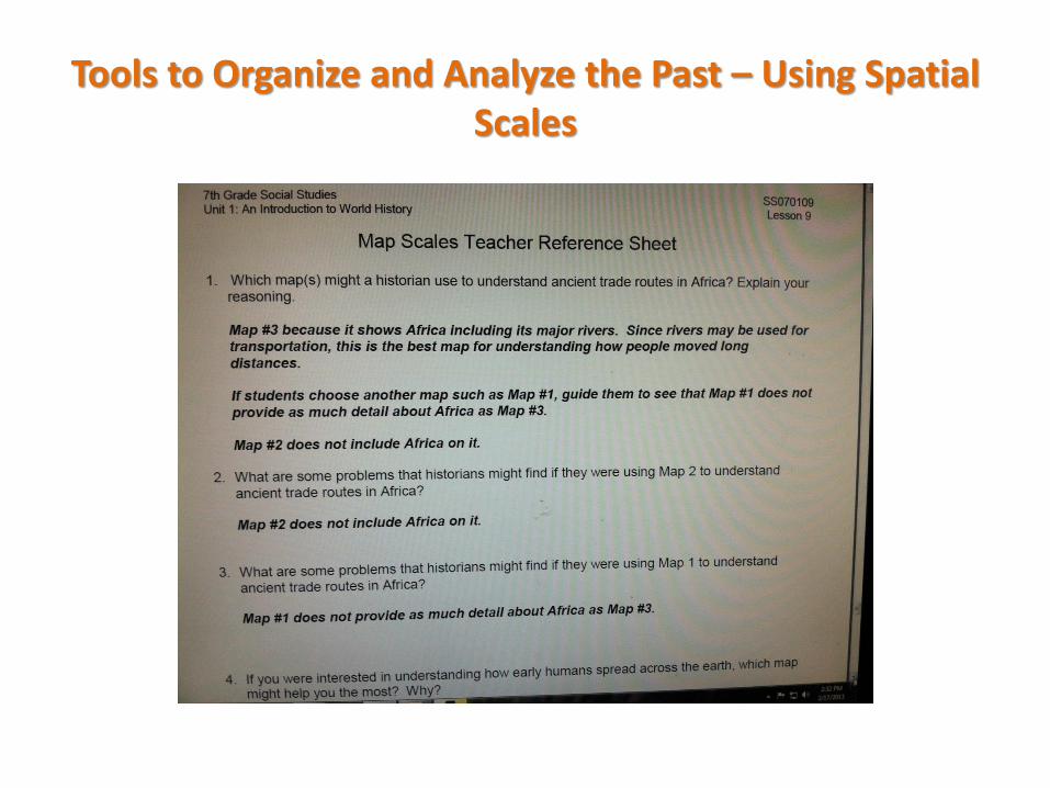
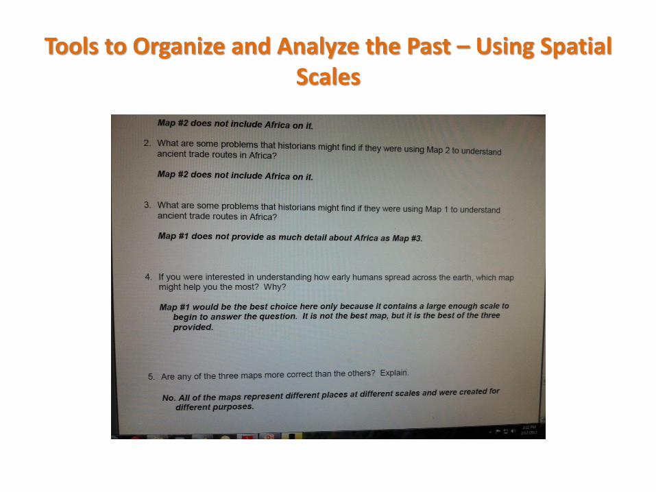
REVIEW ANSWERS WITH THE CLASS:
The idea of a “continent” is a man-made construct.

Tools to Organize and Analyze the Past – Using Spatial Scales #3
Is Europe a continent? Discuss
The definition of continent:
A continuous mass or extent of land.
• Does Europe fit this definition?
• Given that Europe is only continuous if Asia is included, why is Europe commonly called a continent?
• Why aren’t North and South America one continent?
Tools to Organize and Analyze the Past – Using Spatial Scales #3
This may have something to do with who writes history.
Remember who is between the earth and its representation – a cartographer with all her knowledge, experiences, points of view, etc.
Discuss the factors that contribute to modern world maps (political, historical, and cultural).
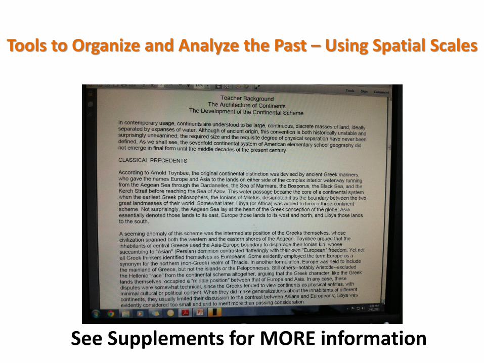
See additional information in background reading entitled, “the Architecture of Continents:…”
Tools to Organize and Analyze the Past – Using Spatial Scales
See Supplements for MORE information
Tools to Organize and Analyze the Past – Using Spatial Scales #3 Additional Information
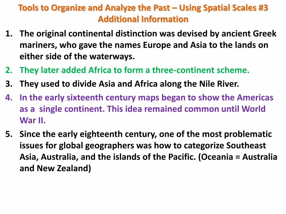
1. The original continental distinction was devised by ancient Greek mariners, who gave the names Europe and Asia to the lands on either side of the waterways.
2. They later added Africa to form a three-continent scheme.
3. They used to divide Asia and Africa along the Nile River.
4. In the early sixteenth century maps began to show the Americas as a single continent. This idea remained common until World War II.
5. Since the early eighteenth century, one of the most problematic issues for global geographers was how to categorize Southeast Asia, Australia, and the islands of the Pacific. (Oceania = Australia and New Zealand)
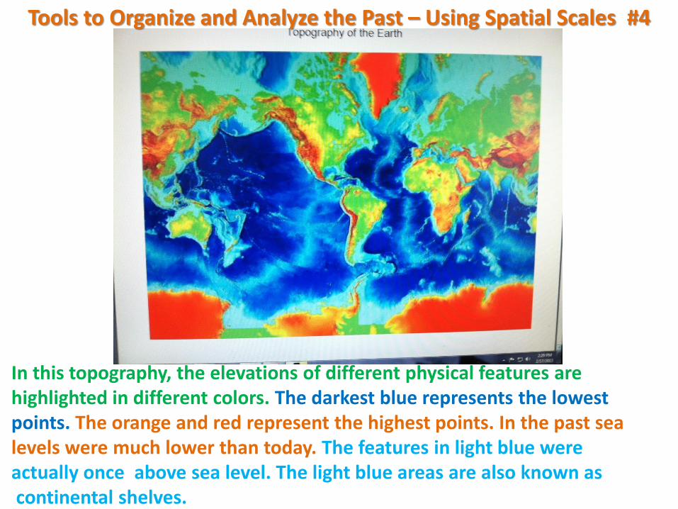
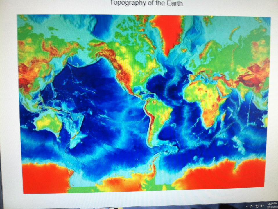
In this topography, the elevations of different physical features are highlighted in different colors. The darkest blue represents the lowest points. The orange and red represent the highest points. In the past sea levels were much lower than today. The features in light blue were actually once above sea level. The light blue areas are also known as continental shelves.
Tools to Organize and Analyze the Past – Using Spatial Scales #4
Tools to Organize and Analyze the Past – Using Spatial Scales #5
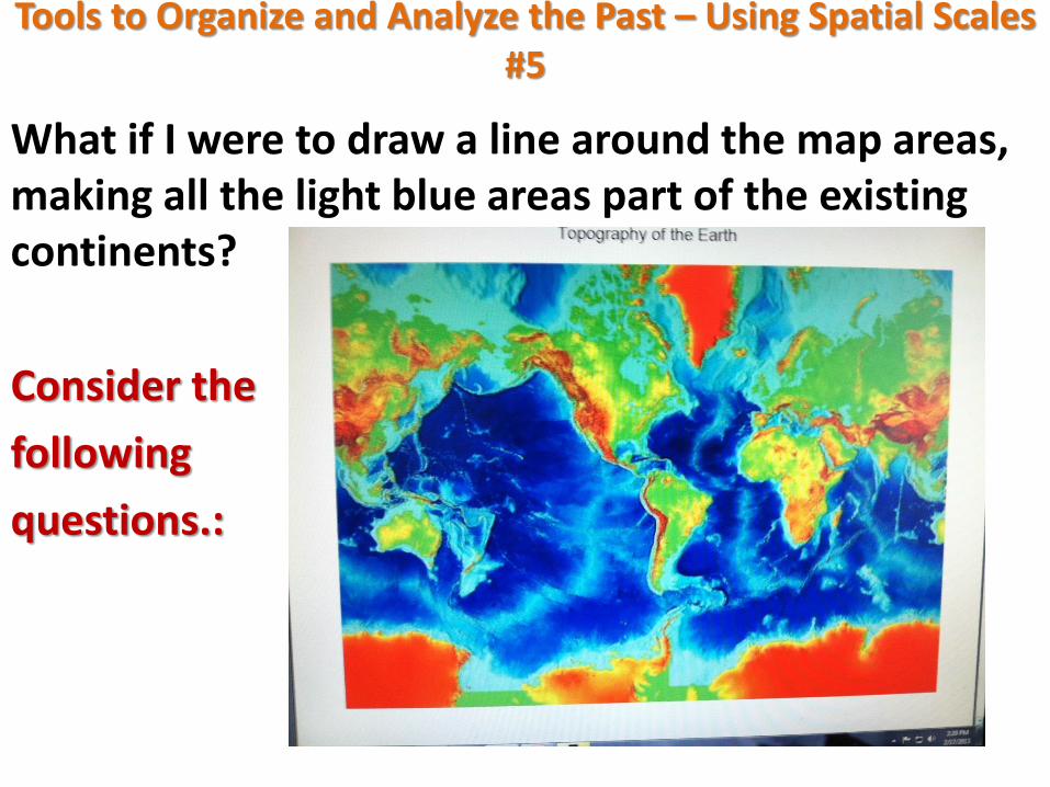
What if I were to draw a line around the map areas, making all the light blue areas part of the existing continents?
Consider the
following
questions.:
Tools to Organize and Analyze the Past – Using Spatial Scales #5
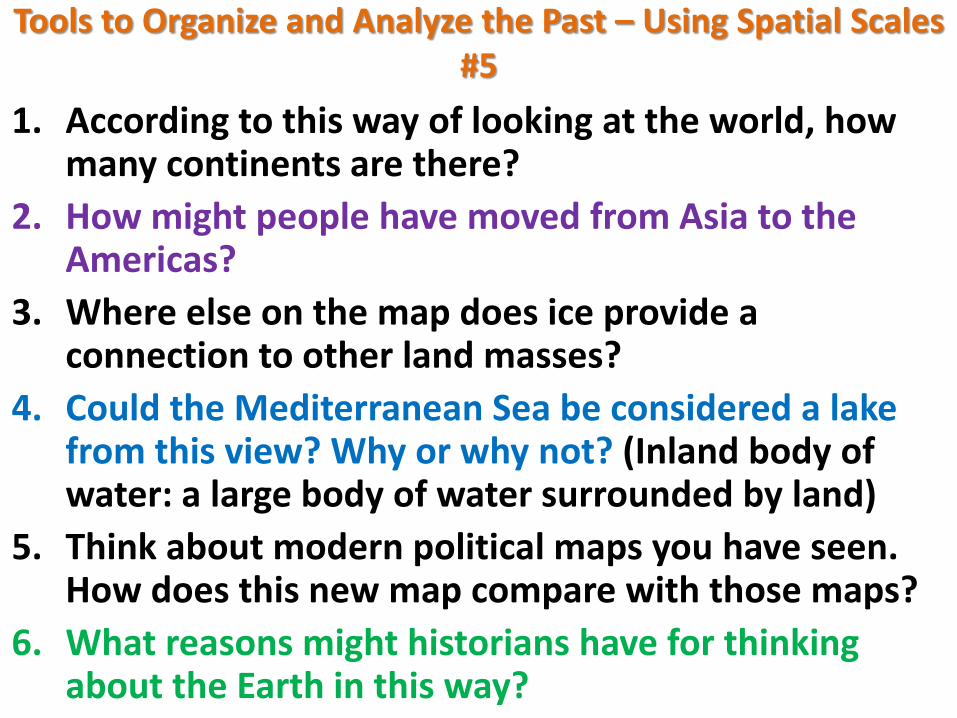
1. According to this way of looking at the world, how many continents are there?
2. How might people have moved from Asia to the Americas?
3. Where else on the map does ice provide a connection to other land masses?
4. Could the Mediterranean Sea be considered a lake from this view? Why or why not? (Inland body of water: a large body of water surrounded by land)
5. Think about modern political maps you have seen. How does this new map compare with those maps?
6. What reasons might historians have for thinking about the Earth in this way?
Tools to Organize and Analyze the Past – Using Spatial Scales #6
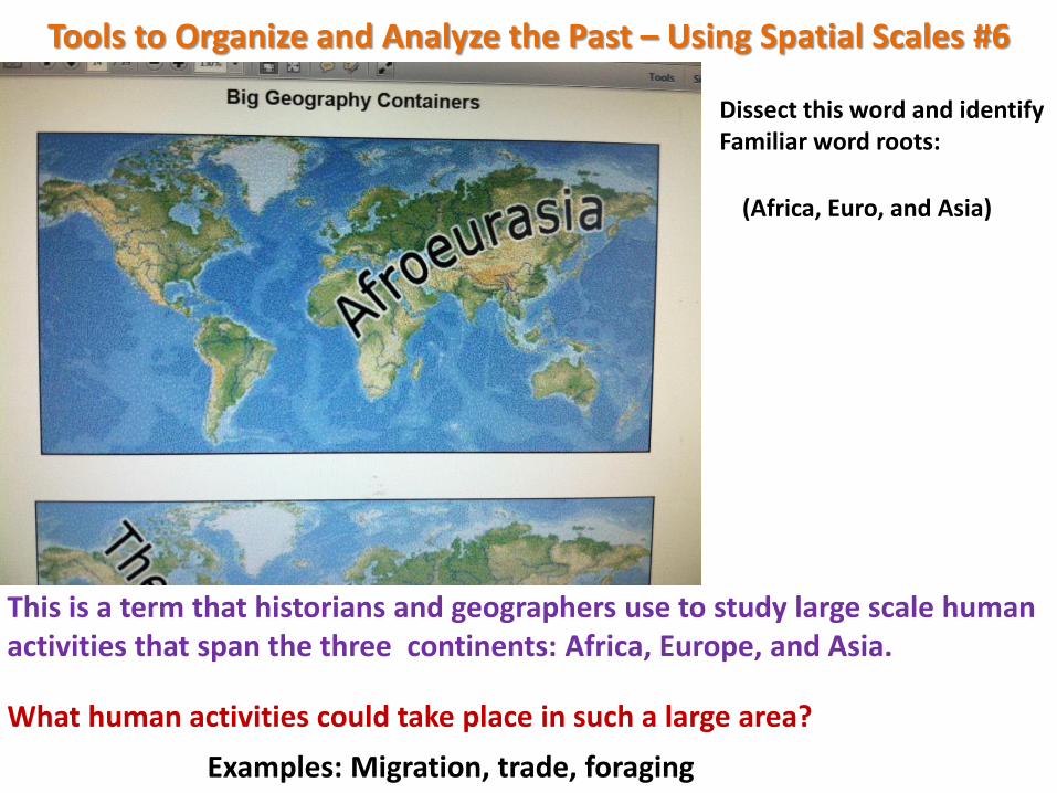
Dissect this word and identify Familiar word roots:
(Africa, Euro, and Asia)
This is a term that historians and geographers use to study large scale human activities that span the three continents: Africa, Europe, and Asia.
What human activities could take place in such a large area?
Examples: Migration, trade, foraging
Tools to Organize and Analyze the Past – Using Spatial Scales #6
STUDENT RESPONSES:
Tools to Organize and Analyze the Past – Using Spatial Scales #6
REGION: A region is an area that is held together by common characteristics. • A region can be big (a continent) or smaller (the Great
Lakes Region); • Or even smaller (metropolitan Detroit) The region is defined by the common characteristic(s) used to hold an area together. Historians studying issues such as migration, trade, and foraging might use a regional map such as the one entitled Afroeurasia. Why might this map be preferable to one of just Africa? The larger geographic container allows them to see movement in and out of a place and the location to where those people, things, and ideas are moving to and from.
Tools to Organize and Analyze the Past – Using Spatial Scales #6
(Picture on next slide)
What types of things could you explore using a big geographic container of “The Americas” rather than just the United States?
DISCUSS
Tools to Organize and Analyze the Past – Using Spatial Scales #6
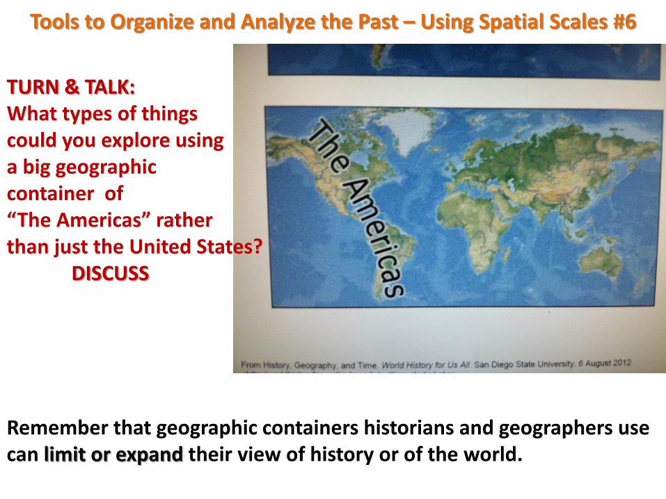
TURN & TALK: What types of things could you explore using a big geographic container of “The Americas” rather than just the United States? DISCUSS
Remember that geographic containers historians and geographers use can limit or expand their view of history or of the world.
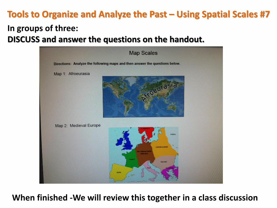
Tools to Organize and Analyze the Past – Using Spatial Scales #7
In groups of three: DISCUSS and answer the questions on the handout.
When finished -We will review this together in a class discussion
Tools to Organize and Analyze the Past – Using Spatial Scales
Tools to Organize and Analyze the Past – Using Spatial Scales
Tools to Organize and Analyze the Past – Using Spatial Scales
Tools to Organize and Analyze the Past – Using Spatial Scales
Tools to Organize and Analyze the Past – Using Spatial Scales #8
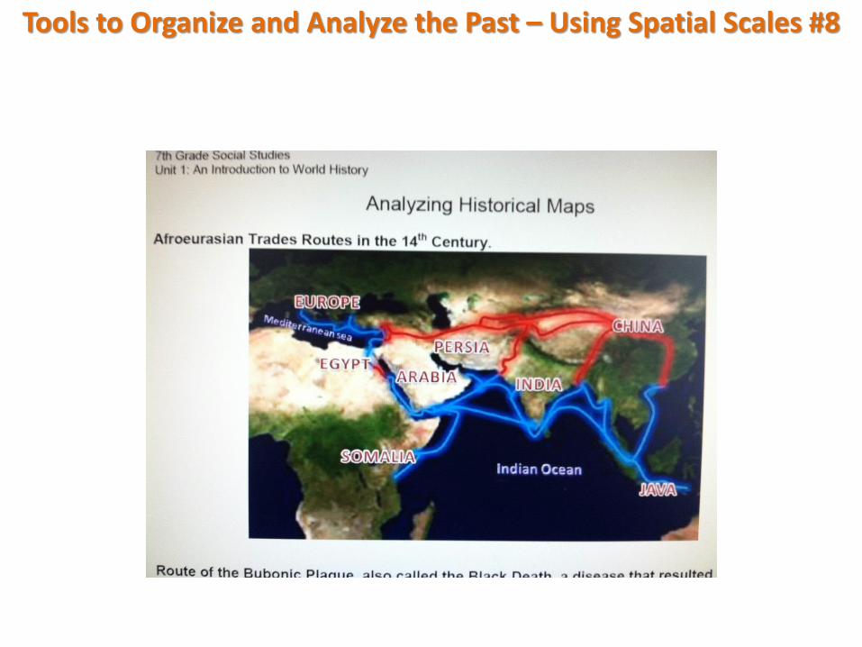
Display: Analyzing Historical Maps
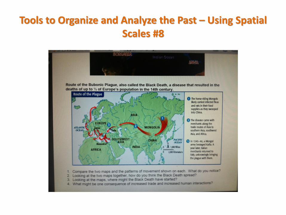
• The maps show the trade routes in Afroeurasia in the 1300-1400’s and the route of the Black Death (Bubonic Plague).
Investigate the maps
Tools to Organize and Analyze the Past – Using Spatial Scales #8
Tools to Organize and Analyze the Past – Using Spatial Scales #8
Tools to Organize and Analyze the Past – Using Spatial Scales #8
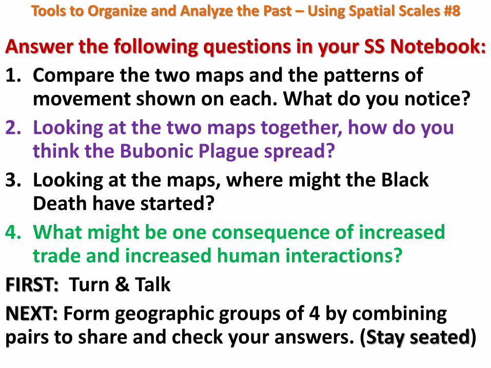
Answer the following questions in your SS Notebook:
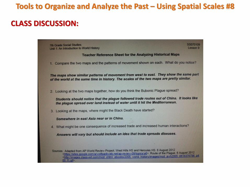
1. Compare the two maps and the patterns of movement shown on each. What do you notice?
2. Looking at the two maps together, how do you think the Bubonic Plague spread?
3. Looking at the maps, where might the Black Death have started?
4. What might be one consequence of increased trade and increased human interactions?
FIRST: Turn & Talk
NEXT: Form geographic groups of 4 by combining pairs to share and check your answers. (Stay seated)
Tools to Organize and Analyze the Past – Using Spatial Scales #8
CLASS DISCUSSION:
Tools to Organize and Analyze the Past – Using Spatial Scales #8
Consider this:
1. Using large regions like Afroeurasia can benefit our understanding of history.
2. Large spatial and temporal scales are often used together.
3. Historians look at maps of large geographic regions like Afroeurasia in order to identify patterns in human activity over large periods of time over great expanses of land.
4. Understanding how humans populated the Earth during the foraging era requires us to use broader classifications to study human activity on a global scale.
Tools to Organize and Analyze the Past – Using Spatial Scales #9
EXIT SLIP
On a sheet of paper answer the following questions proposed at the beginning of the lesson:
1. What challenges do historians face in using maps created in the present time to study the past?
2. What challenges do historians face in using old maps to study the past?
Tools to Organize and Analyze the Past – Using Spatial Scales #9
Evaluate the use of regions like Afroeurasia:
What are the benefits?
What are the limitations?
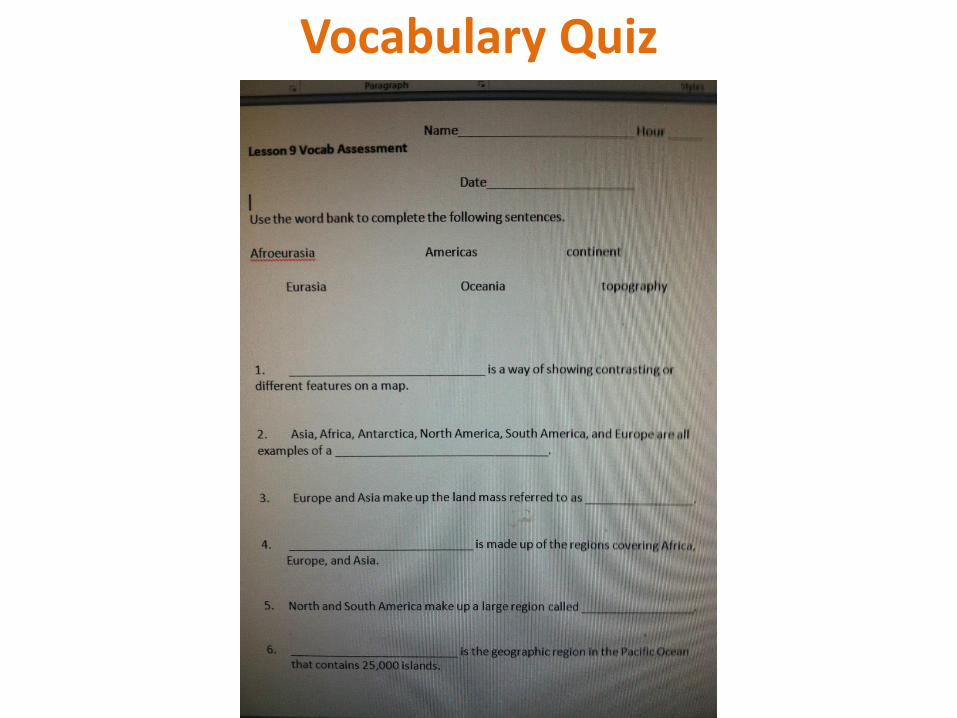
Vocabulary Quiz