unit 1 review. why what is where. tallest buildings fast food restaurants slums volcanoes hurricanes...
TRANSCRIPT

Unit 1 ReviewUnit 1 Review
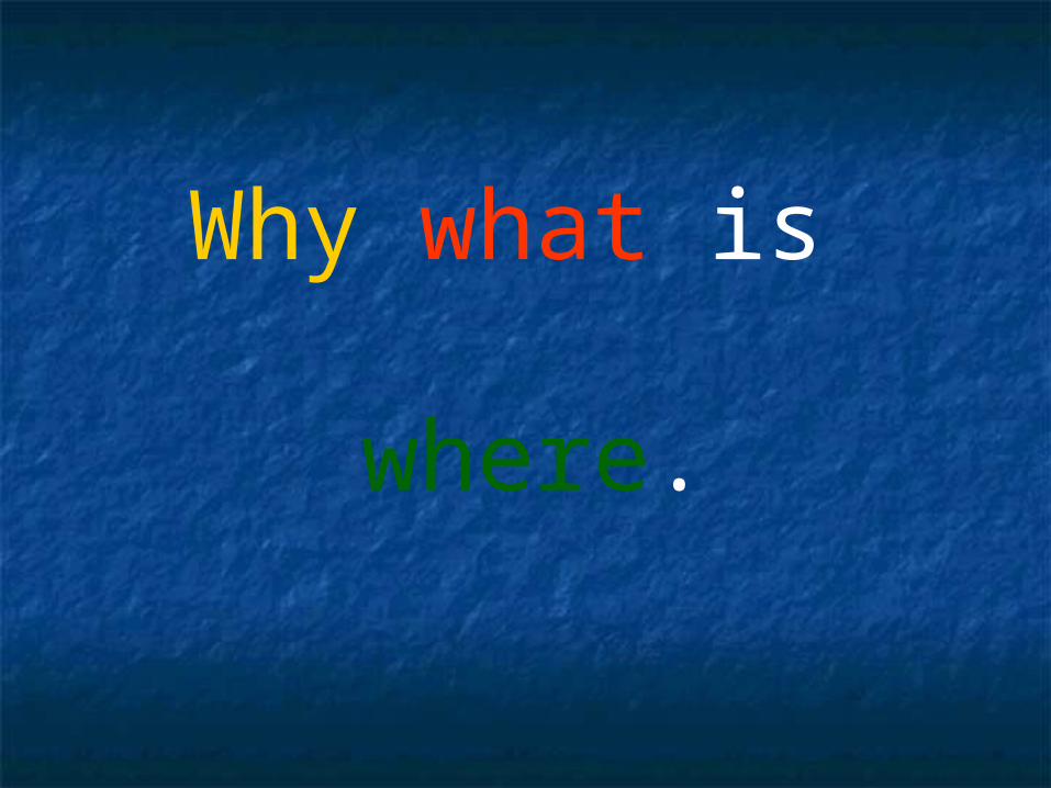
Why what is where.
Why what is where.
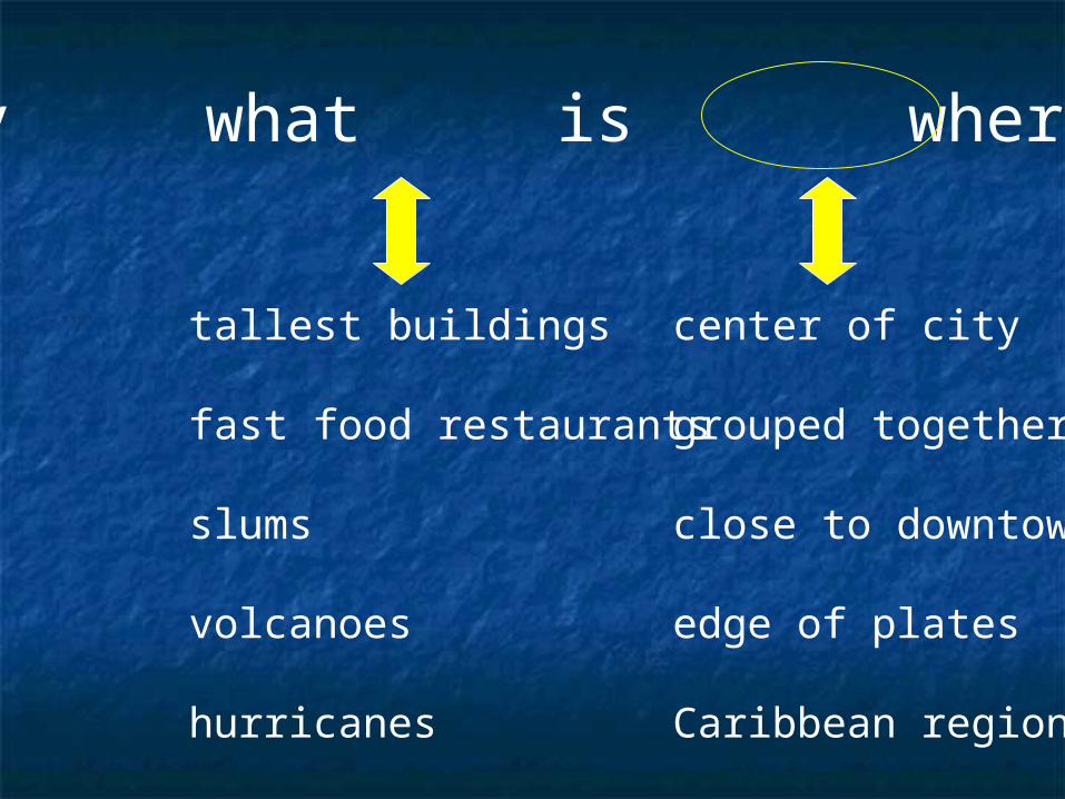
tallest buildings
fast food restaurants
slums
volcanoes
hurricanes
center of city
grouped together
close to downtown
edge of plates
Caribbean region
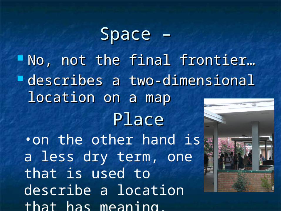
Space – Space – No, not the final frontier…No, not the final frontier… describes a two-dimensional describes a two-dimensional
location on a maplocation on a map
PlacePlace•on the other hand is a less dry term, one that is used to describe a location that has meaning.
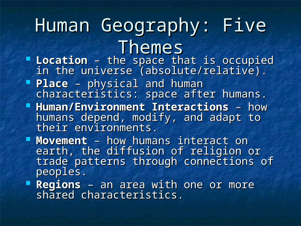
Human Geography: Five Human Geography: Five ThemesThemes
LocationLocation – the space that is occupied in – the space that is occupied in the universe (absolute/relative).the universe (absolute/relative).
PlacePlace – physical and human – physical and human characteristics: space after humans.characteristics: space after humans.
Human/Environment InteractionsHuman/Environment Interactions – – how humans depend, modify, and adapt how humans depend, modify, and adapt to their environments.to their environments.
MovementMovement – how humans interact on – how humans interact on earth, the diffusion of religion or trade earth, the diffusion of religion or trade patterns through connections of patterns through connections of peoples.peoples.
RegionsRegions – an area with one or more – an area with one or more shared characteristics.shared characteristics.
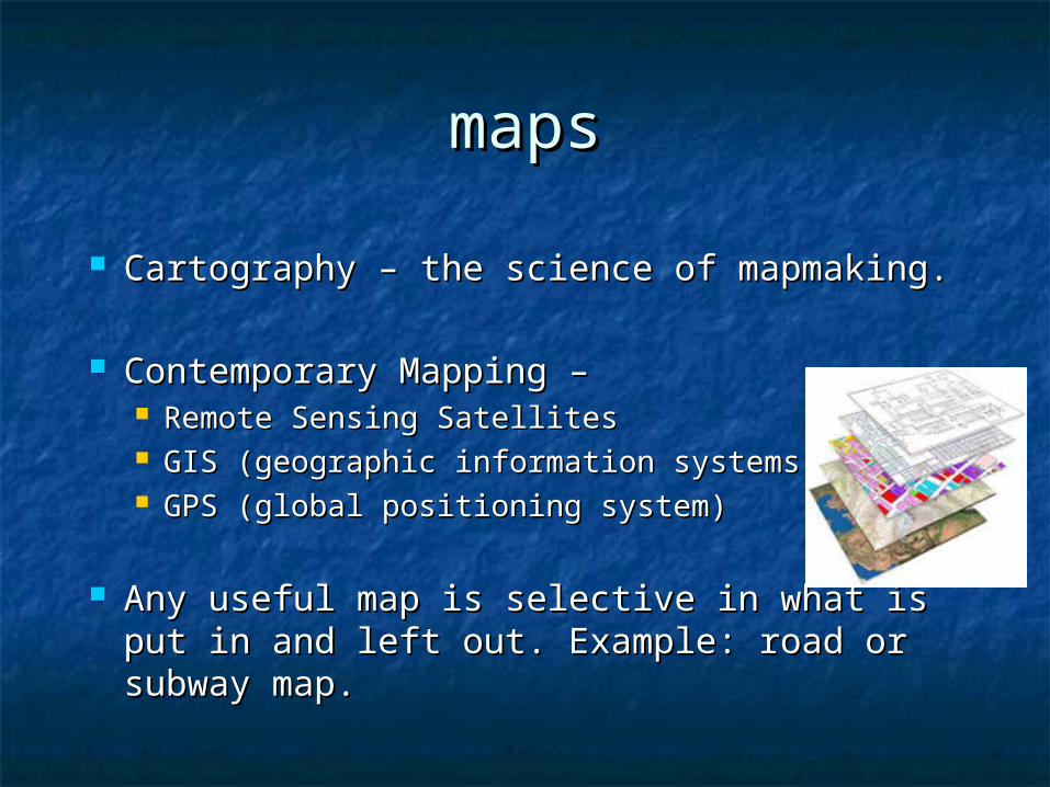
mapsmaps
Cartography – the science of mapmaking.Cartography – the science of mapmaking.
Contemporary Mapping – Contemporary Mapping – Remote Sensing SatellitesRemote Sensing Satellites GIS (geographic information systems)GIS (geographic information systems) GPS (global positioning system) GPS (global positioning system)
Any useful map is selective in what is put Any useful map is selective in what is put in and left out. Example: road or subway in and left out. Example: road or subway map.map.
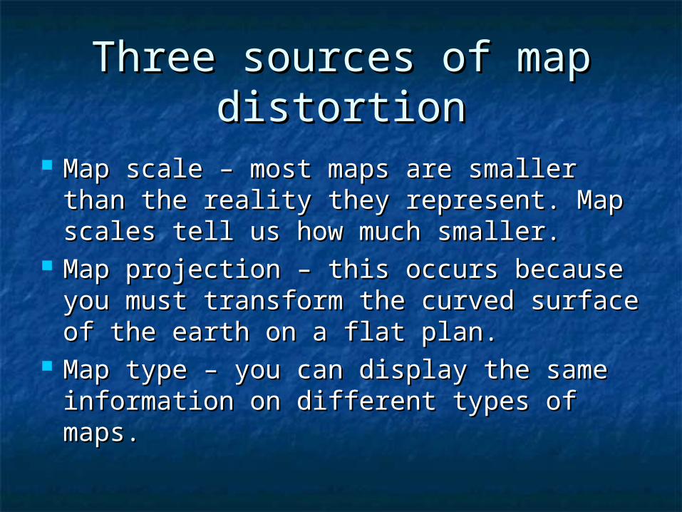
Three sources of map Three sources of map distortiondistortion
Map scale – most maps are smaller Map scale – most maps are smaller than the reality they represent. Map than the reality they represent. Map scales tell us how much smaller.scales tell us how much smaller.
Map projection – this occurs because Map projection – this occurs because you must transform the curved surface you must transform the curved surface of the earth on a flat plan.of the earth on a flat plan.
Map type – you can display the same Map type – you can display the same information on different types of maps.information on different types of maps.
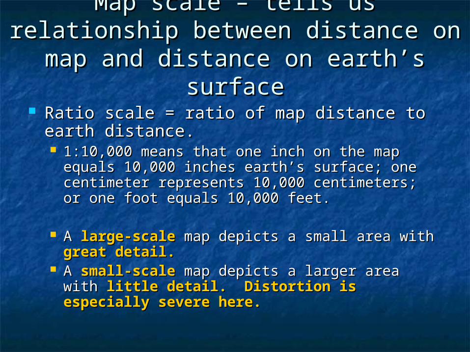
Map scale – tells us relationship Map scale – tells us relationship between distance on map and between distance on map and
distance on earth’s surfacedistance on earth’s surface
Ratio scale = ratio of map distance to earth Ratio scale = ratio of map distance to earth distance.distance. 1:10,000 means that one inch on the map equals 1:10,000 means that one inch on the map equals
10,000 inches earth’s surface; one centimeter 10,000 inches earth’s surface; one centimeter represents 10,000 centimeters; or one foot represents 10,000 centimeters; or one foot equals 10,000 feet.equals 10,000 feet.
A A large-scalelarge-scale map depicts a small area with map depicts a small area with great detail.great detail.
A A small-scalesmall-scale map depicts a larger area with map depicts a larger area with little detail. Distortion is especially severe little detail. Distortion is especially severe here.here.

Which Which is the is the large-large-scale scale map?map?
A.
B.
C.
D.

A.
B.
C.

a.
c. d.
b.
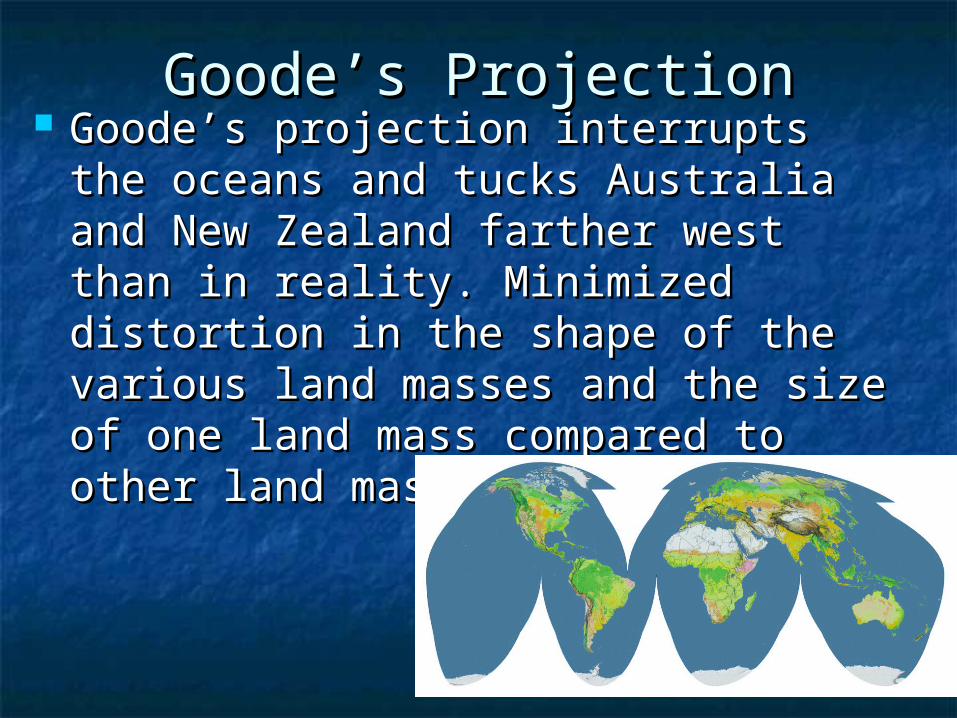
Goode’s projection interrupts the Goode’s projection interrupts the oceans and tucks Australia and New oceans and tucks Australia and New Zealand farther west than in reality. Zealand farther west than in reality. Minimized distortion in the shape of Minimized distortion in the shape of the various land masses and the size the various land masses and the size of one land mass compared to other of one land mass compared to other land masses.land masses.
Goode’s ProjectionGoode’s Projection

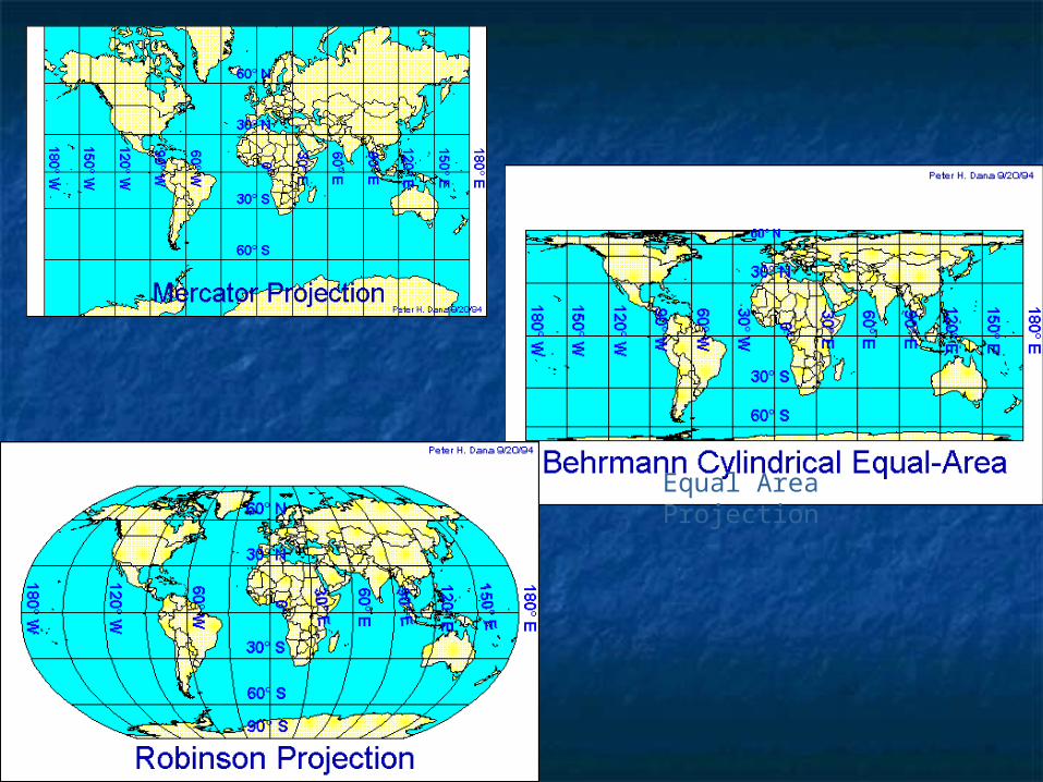
Mercator ProjectionMercator Projection Stretches the poles from one length to the size Stretches the poles from one length to the size
of the equator. Shapes are correct for all areas, of the equator. Shapes are correct for all areas, and map has correct directional relationships.and map has correct directional relationships.
Look at the size of Greenland and Antarctica.Look at the size of Greenland and Antarctica. Map exaggerates the distance between Chicago Map exaggerates the distance between Chicago
and Stockholm, both in northern latitudes.and Stockholm, both in northern latitudes.
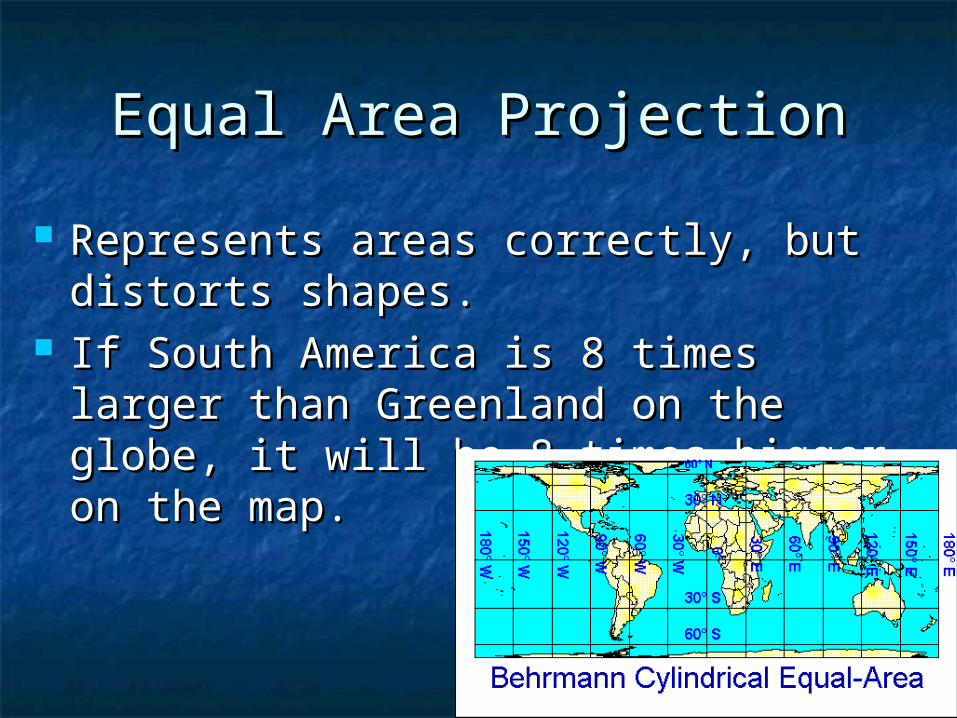
Equal Area ProjectionEqual Area Projection
Represents areas correctly, but distorts Represents areas correctly, but distorts shapes.shapes.
If South America is 8 times larger than If South America is 8 times larger than Greenland on the globe, it will be 8 Greenland on the globe, it will be 8 times bigger on the map.times bigger on the map.

Robinson ProjectionRobinson Projection Distorts both size and shape, but not Distorts both size and shape, but not
too much.too much. The major benefit of the Robinson The major benefit of the Robinson
projection is that oceans are projection is that oceans are uninterrupted. This projection is uninterrupted. This projection is useful in depicting patterns of global useful in depicting patterns of global interactioninteraction..
Equal Area Projection
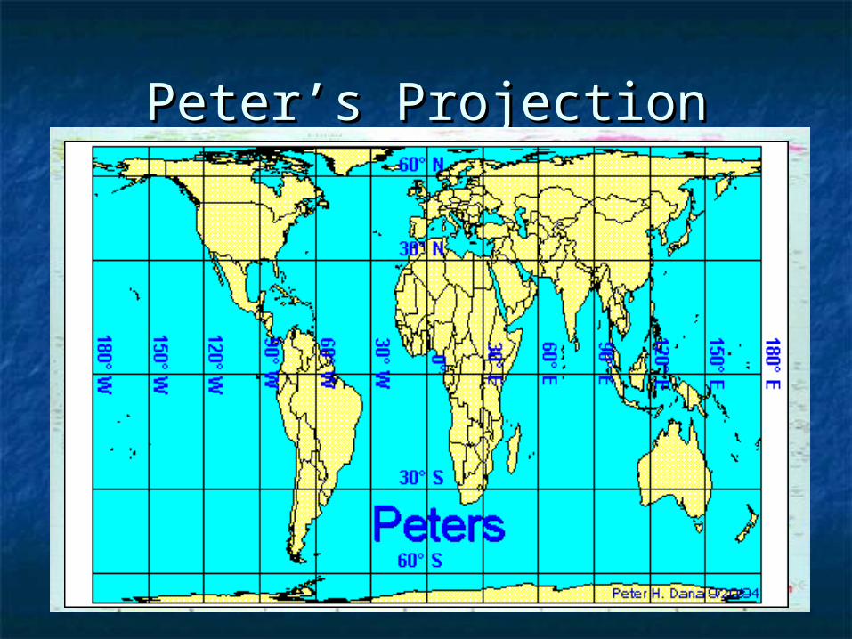
Peter’s ProjectionPeter’s Projection
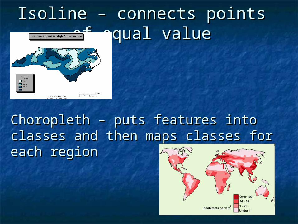
Isoline – connects points of Isoline – connects points of equal valueequal value
Choropleth – puts features into classes Choropleth – puts features into classes and then maps classes for each regionand then maps classes for each region

Proportional symbol Proportional symbol – size of the symbol – size of the symbol corresponds to the corresponds to the magnitude of the magnitude of the mapped featuremapped feature
Cartogram – adjusts Cartogram – adjusts the size of the the size of the country corresponds country corresponds to the magnitude of to the magnitude of the mapped featurethe mapped feature
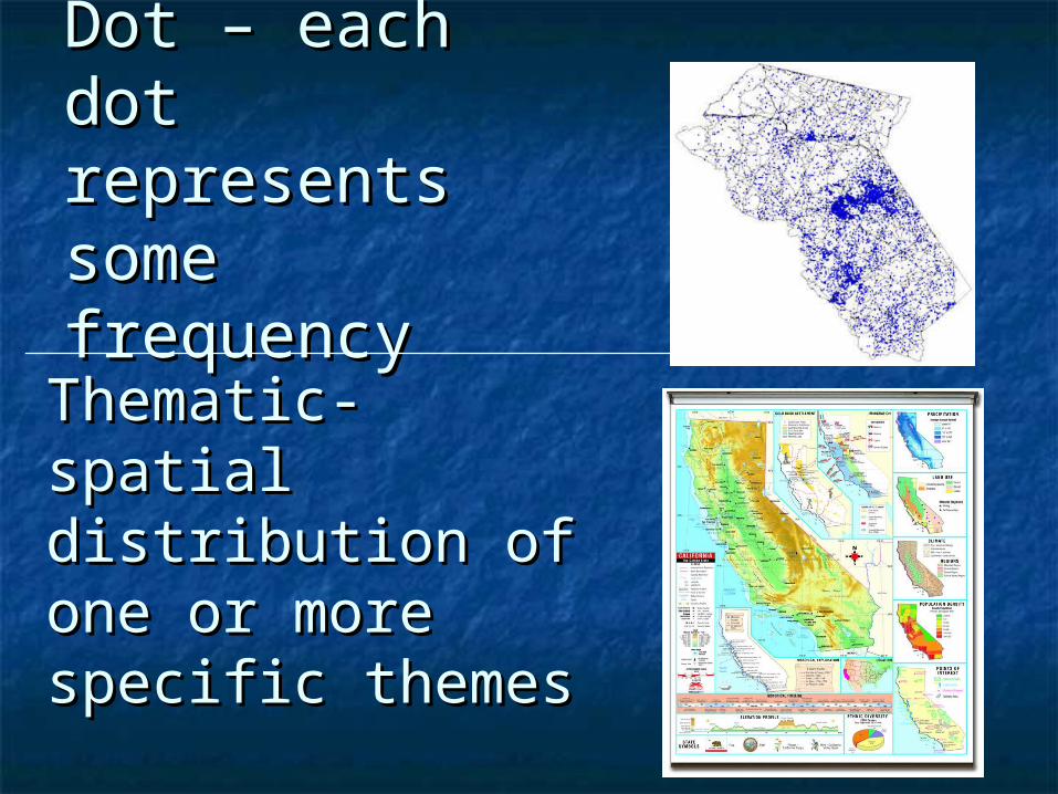
Dot – each dot Dot – each dot represents represents some frequencysome frequency
Thematic- spatial Thematic- spatial distribution of one distribution of one or more specific or more specific themesthemes
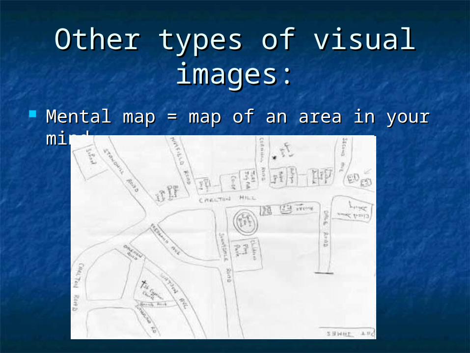
Other types of visual Other types of visual images:images:
Mental map = map of an area in your Mental map = map of an area in your mindmind
Bottom line: hundreds of Bottom line: hundreds of decisions are made in the decisions are made in the making of a map, including making of a map, including scale, projection, and type. scale, projection, and type. These decision ultimately These decision ultimately determine the map’s determine the map’s message.message.

The acquisition of data about The acquisition of data about Earth’s surface from a satellite Earth’s surface from a satellite
orbiting the planet is called orbiting the planet is called remote sensingremote sensing..
Space/LocationSpace/Location Distribution – the arrangement of a Distribution – the arrangement of a
feature in space.feature in space.
Three propertiesThree properties
a.a. DensityDensity – the frequency with which – the frequency with which something occurs.something occurs.
b.b. ConcentrationConcentration – the extent of a feature’s – the extent of a feature’s spread over space. Used to describe changes spread over space. Used to describe changes in distribution.in distribution. ClusteredClustered DispersedDispersed
c.c. PatternPattern – geometric arrangement of objects – geometric arrangement of objects in space.in space.
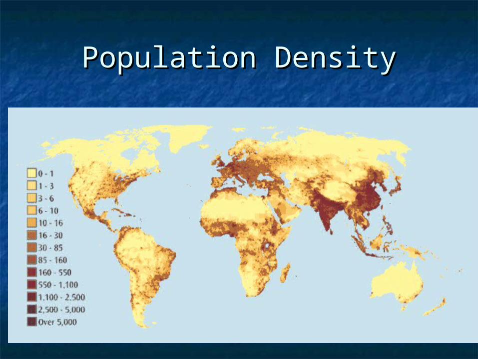
Population DensityPopulation Density
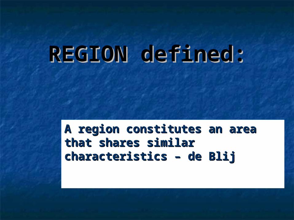
REGION defined:REGION defined:
A region constitutes an area that A region constitutes an area that shares similar characteristics – shares similar characteristics – de Blijde Blij

Formal or Uniform RegionFormal or Uniform Region
Can be defined by physical criteriaCan be defined by physical criteria Or by cultural traitsOr by cultural traits
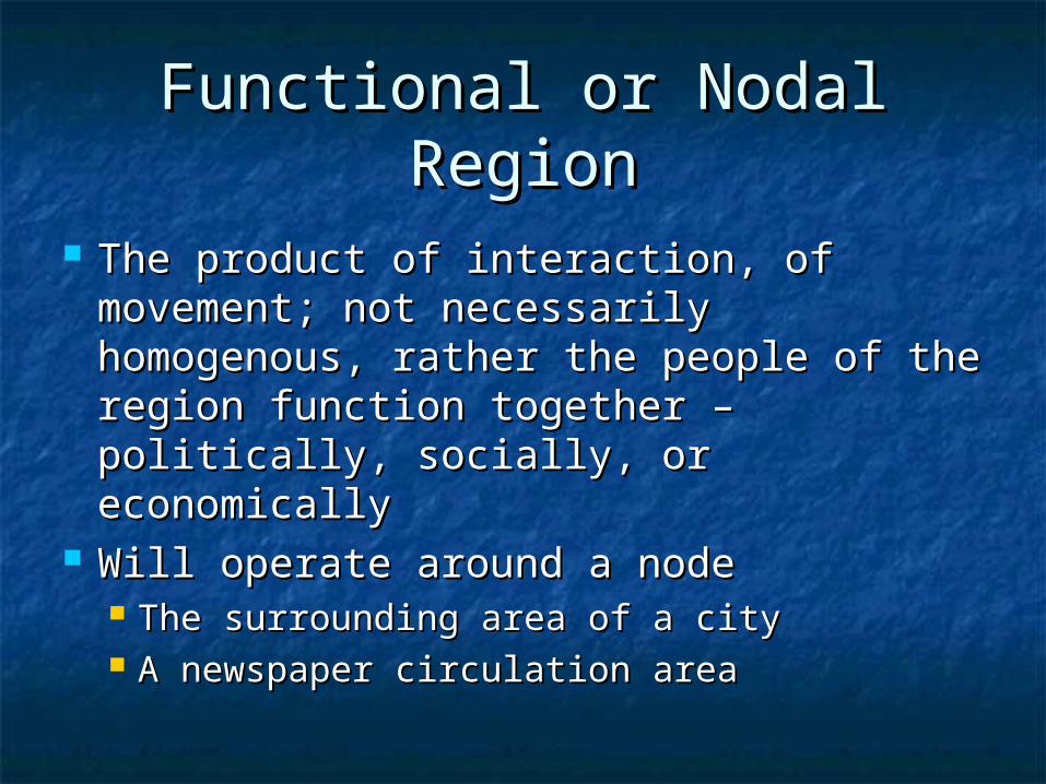
Functional or Nodal RegionFunctional or Nodal Region
The product of interaction, of The product of interaction, of movement; not necessarily movement; not necessarily homogenous, rather the people of homogenous, rather the people of the region function together – the region function together – politically, socially, or economicallypolitically, socially, or economically
Will operate around a nodeWill operate around a node The surrounding area of a cityThe surrounding area of a city A newspaper circulation areaA newspaper circulation area

Functional Functional RegionRegion
Core area – it Core area – it characterizing features characterizing features are most clearly are most clearly defineddefined
Periphery – Periphery – characteristics become characteristics become less prominent toward less prominent toward the region’s marginsthe region’s margins

Perceptual or Vernacular Perceptual or Vernacular
Primarily in the minds of people Primarily in the minds of people – how people think about regions – how people think about regions

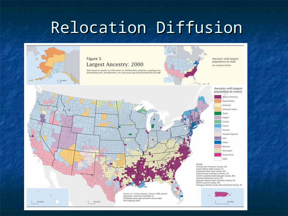
DiffusionDiffusion
The process by which an The process by which an idea or innovation is idea or innovation is transmitted from one transmitted from one individual or group to individual or group to another across space - another across space - FellmanFellman

People move to a People move to a new area and take new area and take their culture with their culture with them – examples them – examples include- crops, include- crops, culture, farming culture, farming techniques, building techniques, building stylesstyles
Known asKnown as
Relocation Relocation DiffusionDiffusion
Information about an Information about an innovation may innovation may spread through a spread through a society – examples society – examples include - Hybrid corn, include - Hybrid corn, Cd’s, a religious Cd’s, a religious creed. Possibly creed. Possibly through mass media through mass media advertisement—advertisement—
Known as Known as
Expansion Expansion DiffusionDiffusion
Relocation DiffusionRelocation Diffusion
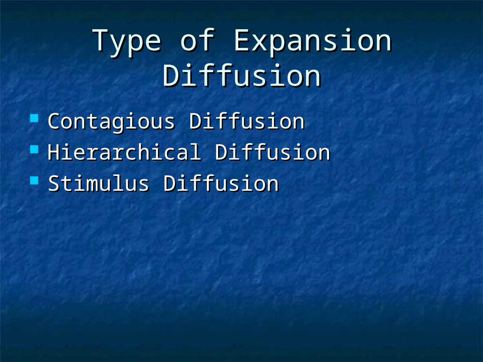
Type of Expansion DiffusionType of Expansion Diffusion
Contagious DiffusionContagious Diffusion Hierarchical DiffusionHierarchical Diffusion Stimulus DiffusionStimulus Diffusion
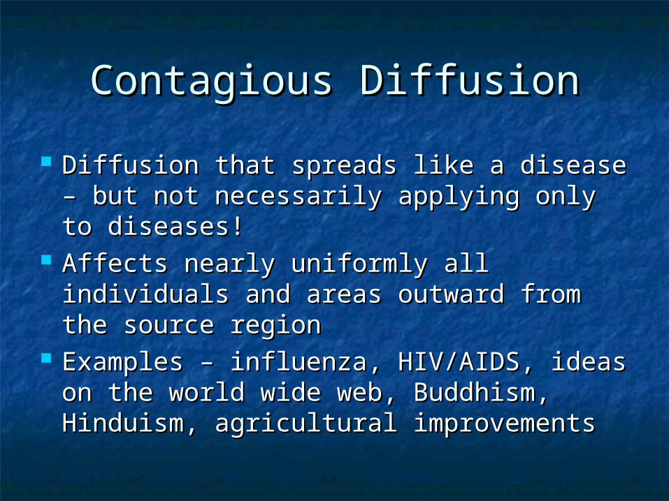
Contagious DiffusionContagious Diffusion
Diffusion that spreads like a disease – but Diffusion that spreads like a disease – but not necessarily applying only to diseases!not necessarily applying only to diseases!
Affects nearly uniformly all individuals Affects nearly uniformly all individuals and areas outward from the source and areas outward from the source regionregion
Examples – influenza, HIV/AIDS, ideas on Examples – influenza, HIV/AIDS, ideas on the world wide web, Buddhism, the world wide web, Buddhism, Hinduism, agricultural improvementsHinduism, agricultural improvements
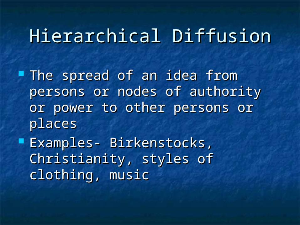
Hierarchical DiffusionHierarchical Diffusion
The spread of an idea from persons The spread of an idea from persons or nodes of authority or power to or nodes of authority or power to other persons or placesother persons or places
Examples- Birkenstocks, Christianity, Examples- Birkenstocks, Christianity, styles of clothing, musicstyles of clothing, music

Stimulus DiffusionStimulus Diffusion
A fundamental idea, though not the A fundamental idea, though not the trait itself, stimulates imitative trait itself, stimulates imitative behaviorbehavior
Examples – creation of a unique Examples – creation of a unique Cherokee written language, Blu-ray Cherokee written language, Blu-ray vs. HD-DVD, Siberians domesticated vs. HD-DVD, Siberians domesticated reindeers (after seeing domesticated reindeers (after seeing domesticated cattle)cattle)
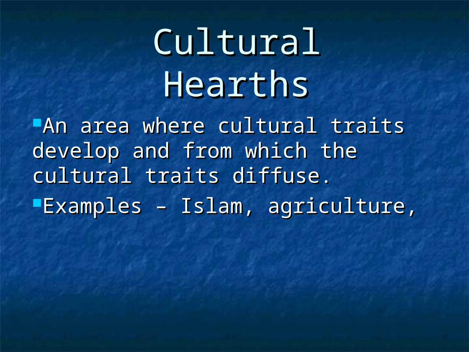
Cultural Cultural HearthsHearths
An area where cultural traits develop An area where cultural traits develop and from which the cultural traits and from which the cultural traits diffuse.diffuse.Examples – Islam, agriculture, Examples – Islam, agriculture,
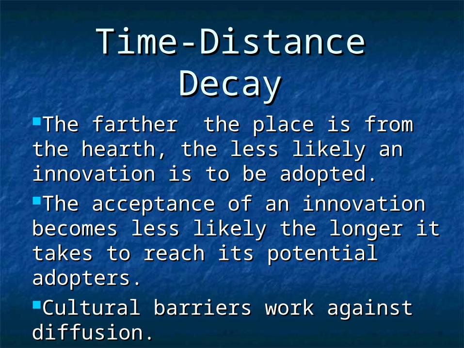
Time-Distance Time-Distance DecayDecay
The farther the place is from the The farther the place is from the hearth, the less likely an innovation is hearth, the less likely an innovation is to be adopted. to be adopted. The acceptance of an innovation The acceptance of an innovation becomes less likely the longer it takes becomes less likely the longer it takes to reach its potential adopters.to reach its potential adopters.Cultural barriers work against Cultural barriers work against diffusion.diffusion.
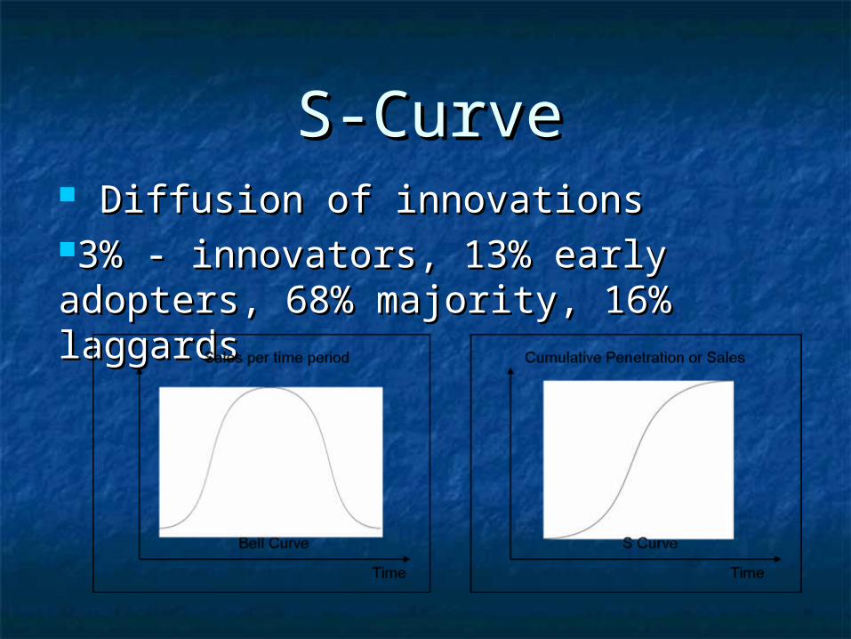
S-CurveS-Curve Diffusion of innovationsDiffusion of innovations3% - innovators, 13% early adopters, 3% - innovators, 13% early adopters, 68% majority, 16% laggards68% majority, 16% laggards
Changing attributes of place (built Changing attributes of place (built landscape, sequent occupance) landscape, sequent occupance)
Cultural attributes (cultural Cultural attributes (cultural landscape) landscape)
Density (arithmetic, physiological) Density (arithmetic, physiological) Direction (absolute, relative) Direction (absolute, relative) Distance (absolute, relative) Distance (absolute, relative)
Vocabulary

Environmental determinism / Environmental determinism / Possibilism Possibilism
Location (absolute, relative, site, Location (absolute, relative, site, situation, place name) situation, place name)
Physical attributes (natural Physical attributes (natural landscape) landscape)
Spatial (of or pertaining to space on Spatial (of or pertaining to space on or near Earth’s surface) or near Earth’s surface)
Spatial interaction (accessibility, Spatial interaction (accessibility, connectivity, network, distance connectivity, network, distance decay, friction of distance, time-decay, friction of distance, time-space compression) space compression)

Geographic Tools Geographic Tools Distortion Distortion Grid (North and South Poles, Grid (North and South Poles,
latitude, parallel, equator, latitude, parallel, equator, longitude, meridian, prime longitude, meridian, prime meridian, international date line) meridian, international date line)
Remote sensing Remote sensing Time zones Time zones