water information challenges down under david lemon and peter fitch ogc tc september 2008
TRANSCRIPT
Water Information Challenges Down Under
David Lemon and Peter Fitch
OGC TC September 2008
Overview
• The Australian Water Crisis• WIRADA
• Geospatial Fabric• Water Data Transfer Standards
• South Esk Project

Australian Water Crisis
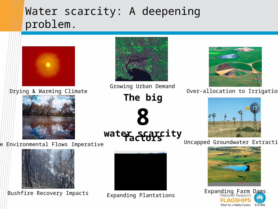
Over-allocation to Irrigation
Bushfire Recovery Impacts Expanding Plantations
Drying & Warming Climate
Uncapped Groundwater Extraction
Expanding Farm Dams
Growing Urban Demand
The Environmental Flows Imperative
The big
8water scarcity factors
Water scarcity: A deepening problem.
The big
8water scarcity factors

Average annual rainfall
Southern Annular Mode
Indian OceanDipole
El Nino Southern
Oscillation
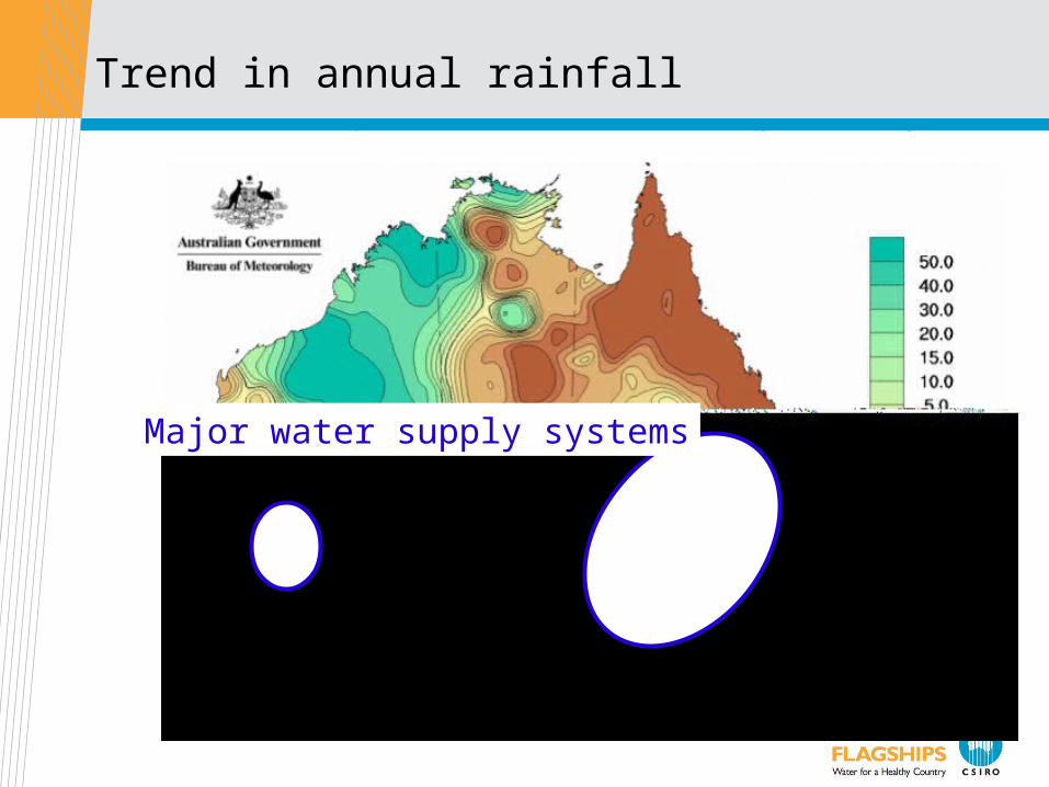
Trend in annual rainfall
Major water supply systems

Water storage volumes in the MDB system.
1700 GL
The National Response

A National Plan for Water Security.
• Announced by the then Prime Minister in January, 2007• Re-announced by new government as ‘Water for the Future’ in April this year
• $12.9B over 10 years to reform water management throughout the country• Accelerates existing initiatives
• Some new initiatives
• Bureau of Meteorology (BOM) given new mandate with respect to water
information

The questions BOM needs to answer
• How much water is available in different parts of the country today and
how does it compare with history?
• How much water is likely to be available in the coming days, weeks,
months and years?
• Who is entitled to use water and how much are they using?
• How much water is being allocated and how is the security of particular
water entitlements changing?
• How much water is being traded and to where?
• How much water is the environment getting?
• How is water quality changing?
• How much water is being intercepted by farm dams and various land
management changes?

The BOM’s new functions
1. Set standards for water data measurement and transmission.
2. Gather water information and make it freely available, with value-added analyses.
3. Conduct annual national water resource assessments.
4. Produce an annual national water account.
5. Provide continuously updated water availability forecasts
6. Invest in water information research
Water Information Research and Development Alliance (WIRADA)
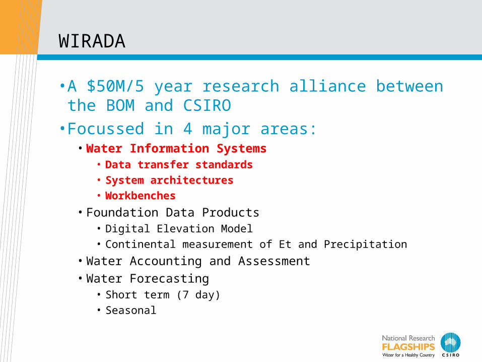
WIRADA
• A $50M/5 year research alliance between the BOM and CSIRO
• Focussed in 4 major areas:• Water Information Systems
• Data transfer standards• System architectures• Workbenches
• Foundation Data Products• Digital Elevation Model• Continental measurement of Et and Precipitation
• Water Accounting and Assessment
• Water Forecasting• Short term (7 day) • Seasonal

The Australian Hydrological Geospatial Fabric
The AHGF will be a suite of well maintained, evolving, authoritative data products containing a consistent representation of every feature, and the connectivity between features, of the Australian water system.
These products will be capable of supporting a wide variety of uses for many users.
The AHGF will become the framework geospatial information upon which Australia’s water information
related activities are based and through which they are related
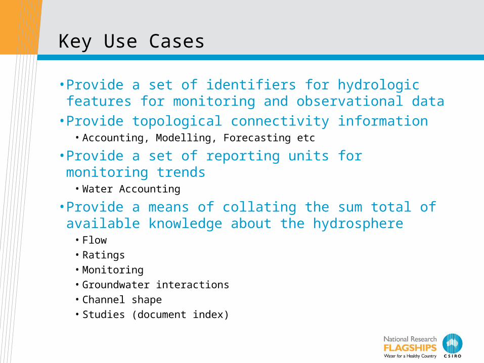
Key Use Cases
• Provide a set of identifiers for hydrologic features for monitoring and observational data
• Provide topological connectivity information• Accounting, Modelling, Forecasting etc
• Provide a set of reporting units for monitoring trends• Water Accounting
• Provide a means of collating the sum total of available knowledge about the hydrosphere
• Flow• Ratings• Monitoring• Groundwater interactions• Channel shape• Studies (document index)
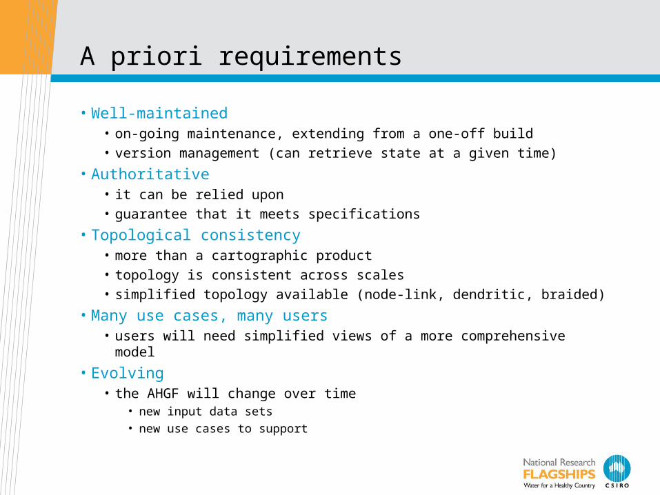
A priori requirements
• Well-maintained• on-going maintenance, extending from a one-off build• version management (can retrieve state at a given time)
• Authoritative • it can be relied upon• guarantee that it meets specifications
• Topological consistency• more than a cartographic product• topology is consistent across scales• simplified topology available (node-link, dendritic, braided)
• Many use cases, many users• users will need simplified views of a more comprehensive model
• Evolving• the AHGF will change over time
• new input data sets
• new use cases to support
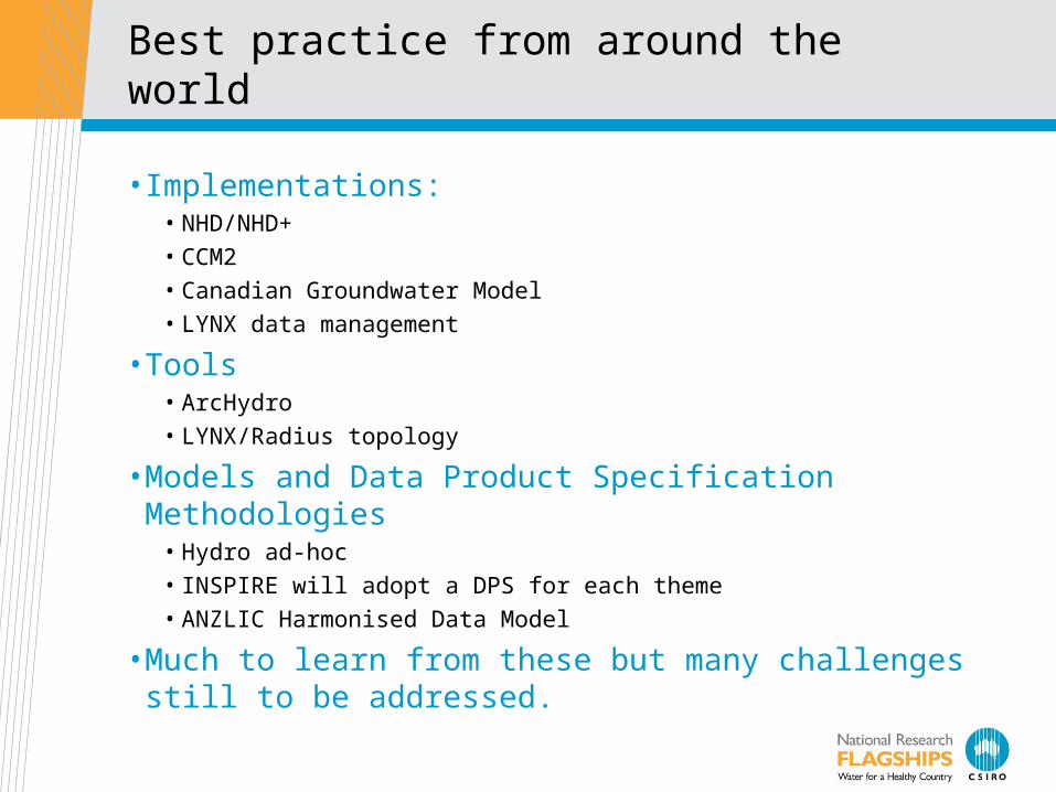
Best practice from around the world
• Implementations:• NHD/NHD+
• CCM2
• Canadian Groundwater Model
• LYNX data management
• Tools• ArcHydro
• LYNX/Radius topology
• Models and Data Product Specification Methodologies• Hydro ad-hoc
• INSPIRE will adopt a DPS for each theme
• ANZLIC Harmonised Data Model
• Much to learn from these but many challenges still to be addressed.

A Very Conceptual Architecture
System Components
DerivedData
Products(examples)
Web Services
Maint.DB
SupplyDPS
Map
Node Link
Network
Catchment Areas
DeliveryDB
import
Sync. DB
visualise
ArcHydroworkbench
Modflow
Web Services
Updates
Phase 1Applications
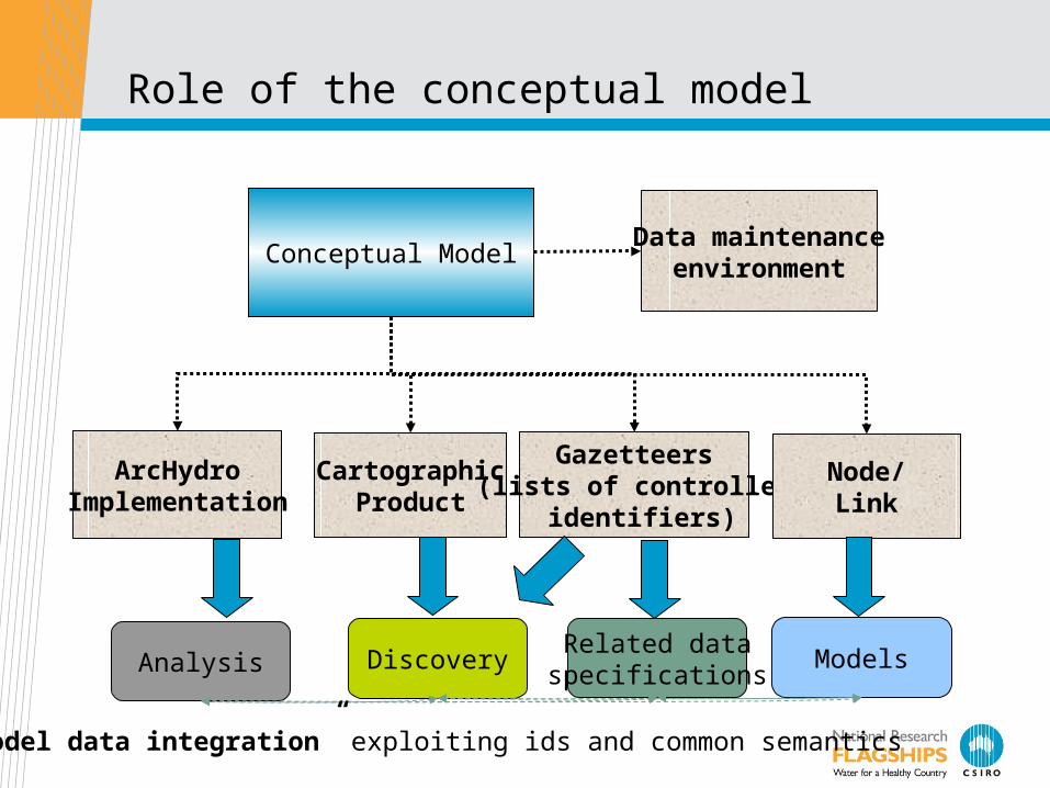
Role of the conceptual model
Conceptual Model
ArcHydroImplementation
Data maintenanceenvironment
CartographicProduct
Gazetteers(lists of controlled
identifiers)
Node/Link
DiscoveryRelated dataspecificationsAnalysis Models
“Model data integration” exploiting ids and common semantics
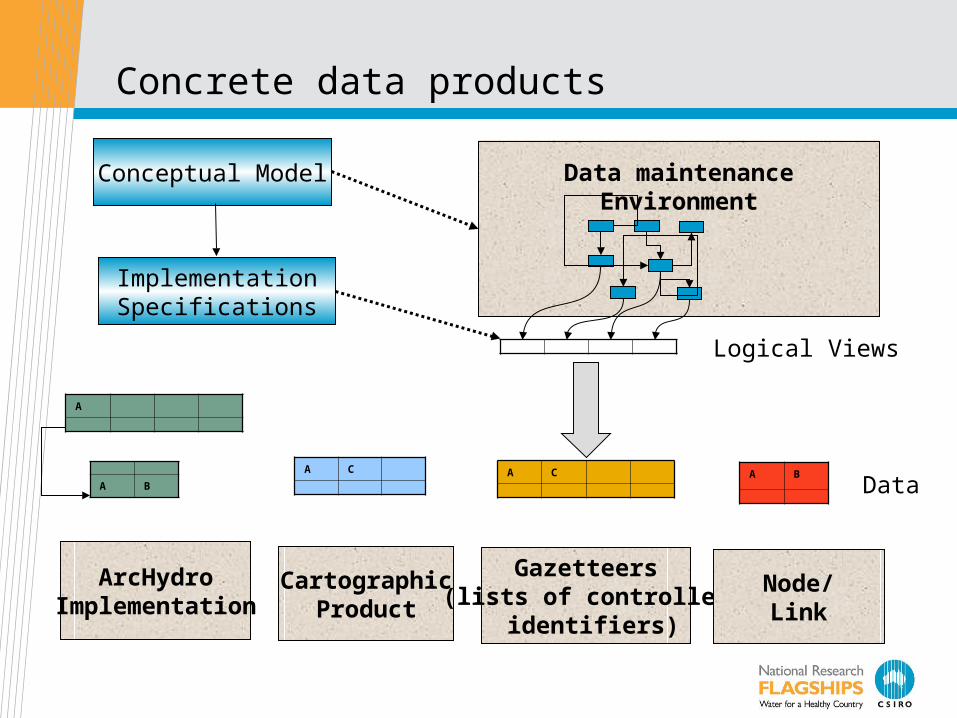
Concrete data products
Conceptual Model
ArcHydroImplementation
Data maintenanceEnvironment
CartographicProduct
Gazetteers(lists of controlled
identifiers)
Node/Link
A CA C A B
A
A B
Logical Views
Data
ImplementationSpecifications

Key challenges
•A set of problems to be solved:• Known issues with status quo – motivation for investment.
•Domain specific:• What objects? What scales?• Hydrological connectivity• Identifiers
•Common (“framework data set”):• Update cycles• Partitioning of large problem into phased work packages• Multiple scales• Maintaining versions• Topological consistency• Derivation of multiple products from a knowledge base• Documentation – ease of creation, maintenance and use• Stakeholder engagement – value accrues through adoption

Water Data Transfer Standards
• Water observations are a key element of a resource information system
• Required for transfer of water data from 261 data custodians to BOM.
• Standardised information model and interfaces are required
• Current work has been on: • WOML- Water Observation Markup Language*
• Applied to• Preliminary data ingestion project
* Working title only

WOML
• Water Observations Markup Language• model and XML encoding for water observations
≈ CUAHSI WaterML (XML for ODM)
• Formalised as a profile of OGC/ISO O&M• Builds on
• Observation schema
• Sampling features
• ISO Coverage model
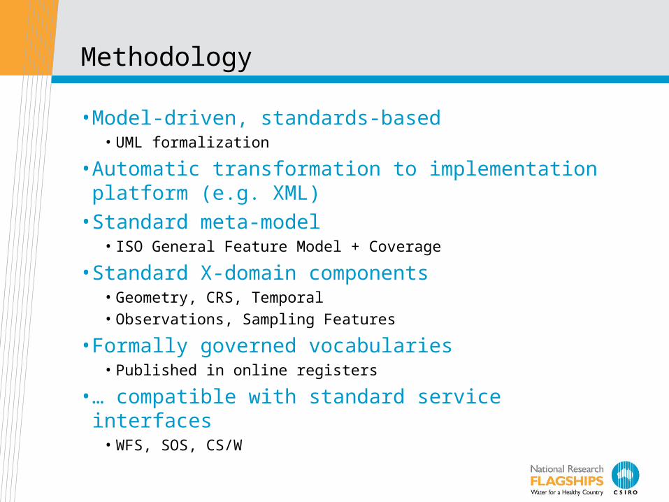
Methodology
• Model-driven, standards-based • UML formalization
• Automatic transformation to implementation platform (e.g. XML)
• Standard meta-model• ISO General Feature Model + Coverage
• Standard X-domain components• Geometry, CRS, Temporal
• Observations, Sampling Features
• Formally governed vocabularies• Published in online registers
• … compatible with standard service interfaces• WFS, SOS, CS/W

Attractions for the BOM
• Data-transfer format data model⇒• An explicit model makes design and maintenance easier
• Water observations will not be used in isolation• Deploy technology compatible with other natural resources and
environment applications
• Publish definitions for services in web-accessible registers• model, schema, vocabularies
• There are standards and tooling available• UML/GML + HollowWorld/FullMoon for design
• WFS, SOS, WCS, CSW for service delivery
• A standards-based implementation works• WOML can support all requirements of BOM
Next Steps
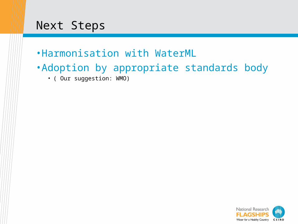
• Harmonisation with WaterML• Adoption by appropriate standards body
• ( Our suggestion: WMO)
Tasmanian ICT Centre – WRONSouth Esk Hydrological Sensor Web
Siddeswara Guru, Yanfeng Shu, Daniel Smith,Andrew Terhorst, Peter Taylor,
29 August 2008
Water for a Healthy Country

Characteristics
• Covers an area of 3350km2
• High spatial and temporal variability in rainfall
• Flood events not uncommon
• Unregulated upstream of Perth
• Flows into the Trevallyn hydro-electric storage
• Targeted for irrigation development
• Significant land use changes across the entire catchment
• Much interest in this catchment
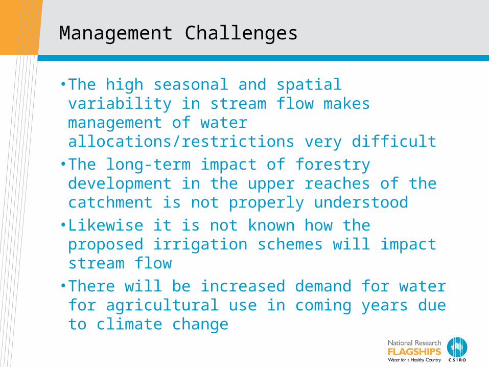
Management Challenges
• The high seasonal and spatial variability in stream flow makes management of water allocations/restrictions very difficult
• The long-term impact of forestry development in the upper reaches of the catchment is not properly understood
• Likewise it is not known how the proposed irrigation schemes will impact stream flow
• There will be increased demand for water for agricultural use in coming years due to climate change
Project Goals
• Assess the performance characteristics of the SWE standards for in a near real-time hydrological application i.e. continuous stream flow forecasting
• Contribute to the development of SWE standards• Investigate what kind of middleware is needed for
Hydrological Sensor Webs• Open architectural design for Hydrological Sensor
Webs

Explore Practical Issues
• Usability of OGC standards• Meta data modelling• Time series encoding – WOML• Near Real-Time Performance• Quality of Service• Service querying and messaging• Model integration

Too many Daves

Thank you
CSIRO Land and WaterDr David LemonResearch Stream Leader – Water Informatics
Phone: +61 2 6246 5724Email: [email protected]: www.csiro.au/clw
Contact UsPhone: 1300 363 400 or +61 3 9545 2176Email: [email protected] Web: www.csiro.au
CSIRO Land and WaterPeter FitchResearch Group Leader – Environmental Information Systems
Phone: +61 2 6246 5763Email: [email protected]: www.csiro.au/clw