wendy schreiber-abshire*, patrick dills*, & marianne weingroff ucar’s comet program 30 april...
TRANSCRIPT
Wendy Schreiber-Abshire*, Patrick Dills*, & Marianne Weingroff
UCAR’s COMET Program
30 April 2015
MetEd Resources at the Ready to Embrace Advancements in
Environmental Satellites
2
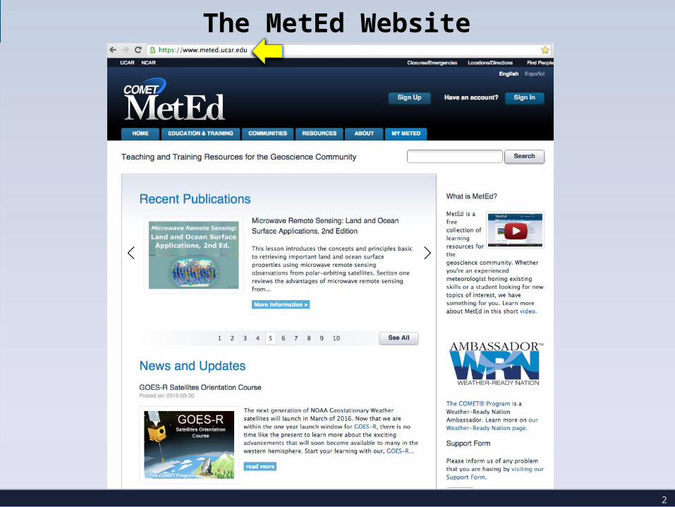
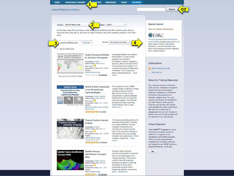
The MetEd Website

Over 100 Satellite-specific lessons on MetEd, and three multi-lesson courses, one of which is on GOES-R+ (69 English, 25 Spanish, 16 French)
Over 20,000 meaningful English satellite lesson user sessions per year
NESDIS satellite training activities with the COMET Program attract additional funding and training development specifically in the satellite topic area from both EUMETSAT and the Meteorological Service of Canada
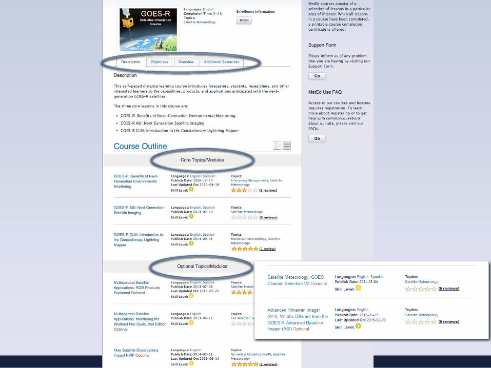
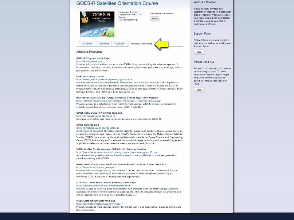
New satellite publications: “How Satellite Data Impact NWP”, 2nd Ed. of “MRS: Land and Ocean Sfc. Applications”, and a distance learning course: “GOES-R Satellites Orientation Course”
3
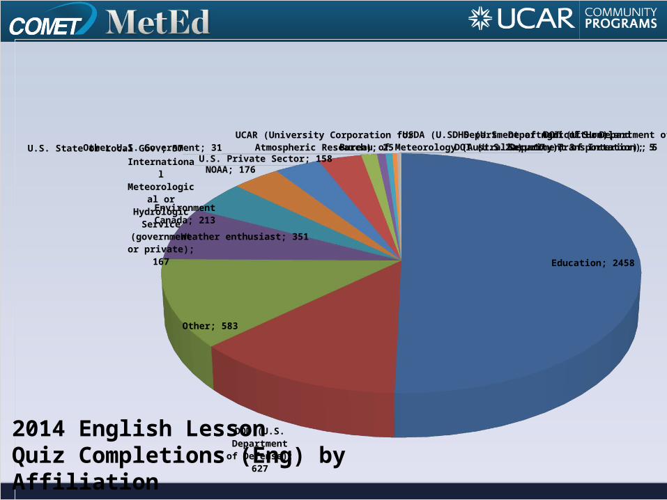
Education; 2458
DOD (U.S. De-partment of
Defense); 627
Other; 583
Weather enthusiast; 351
Environment Canada; 213
NOAA; 176
International Meteorolog-ical or Hydro-logic Service
(government or private);
167
U.S. Private Sector; 158U.S. State or Local Gov.; 57Other U.S. Government; 31UCAR (University Corporation for Atmospheric
Research); 25 Bureau of Meteorology (Australia); 17DOI (U.S. Department of Interior); 5DOT (U.S. Department of Transportation); 5DHS (U.S. Department of Homeland Security); 3USDA (U.S. Department of Agriculture); 2
2014 English LessonQuiz Completions (Eng) by Affiliation
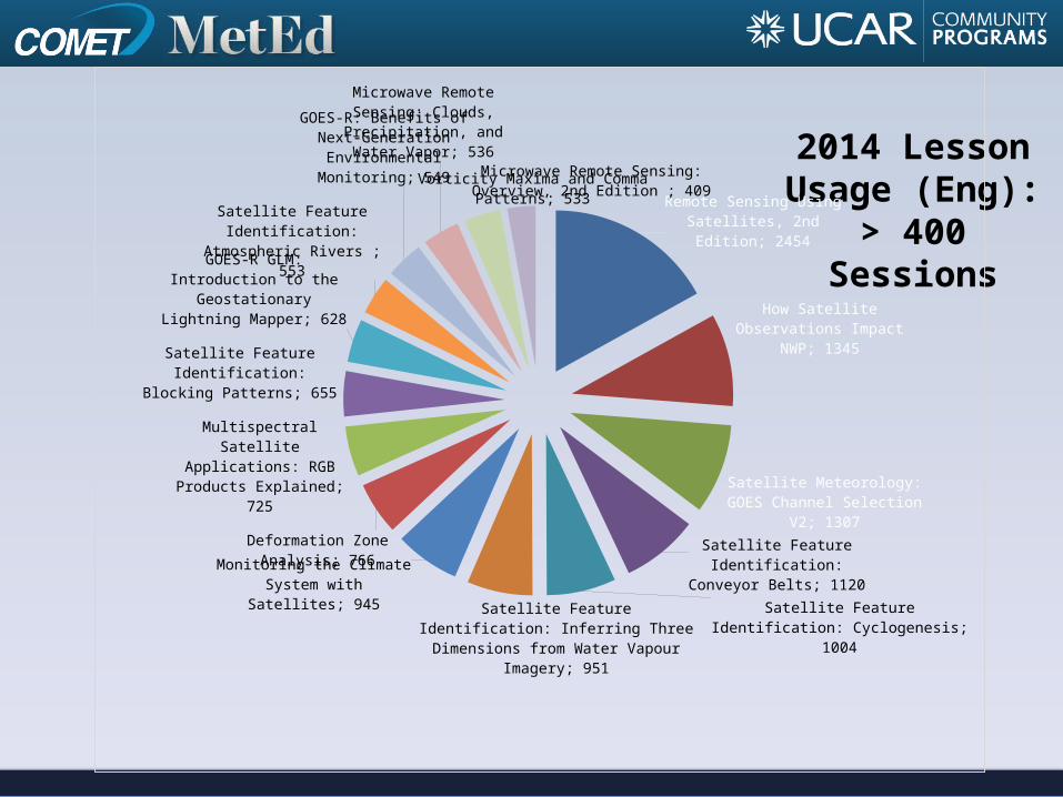
2014 Lesson Usage (Eng):
> 400 SessionsRemote Sensing Using Satellites,
2nd Edition; 2454
How Satellite Observations Impact NWP; 1345
Satellite Meteorology: GOES Channel Selection V2; 1307
Satellite Feature Identification: Conveyor Belts; 1120
Satellite Feature Identification: Cyclogenesis; 1004
Satellite Feature Identification: Inferring Three Dimensions from Water Vapour Imagery; 951
Monitoring the Climate System with Satellites; 945
Deformation Zone Analysis; 766
Multispectral Satellite Applica-tions: RGB Products Explained;
725
Satellite Feature Identification: Blocking Patterns; 655
GOES-R GLM: Introduction to the Geostationary Lightning
Mapper; 628
Satellite Feature Identification: Atmospheric Rivers ; 553
GOES-R: Benefits of Next-Gen-eration Environmental Monitor-
ing; 549
Microwave Remote Sensing: Clouds, Precipitation, and Wa-
ter Vapor; 536
Vorticity Maxima and Comma Patterns; 533
Microwave Remote Sensing: Overview, 2nd Edi-tion ; 409
1
3
2
or
4

9
Next, Lesson and Course Highlights…
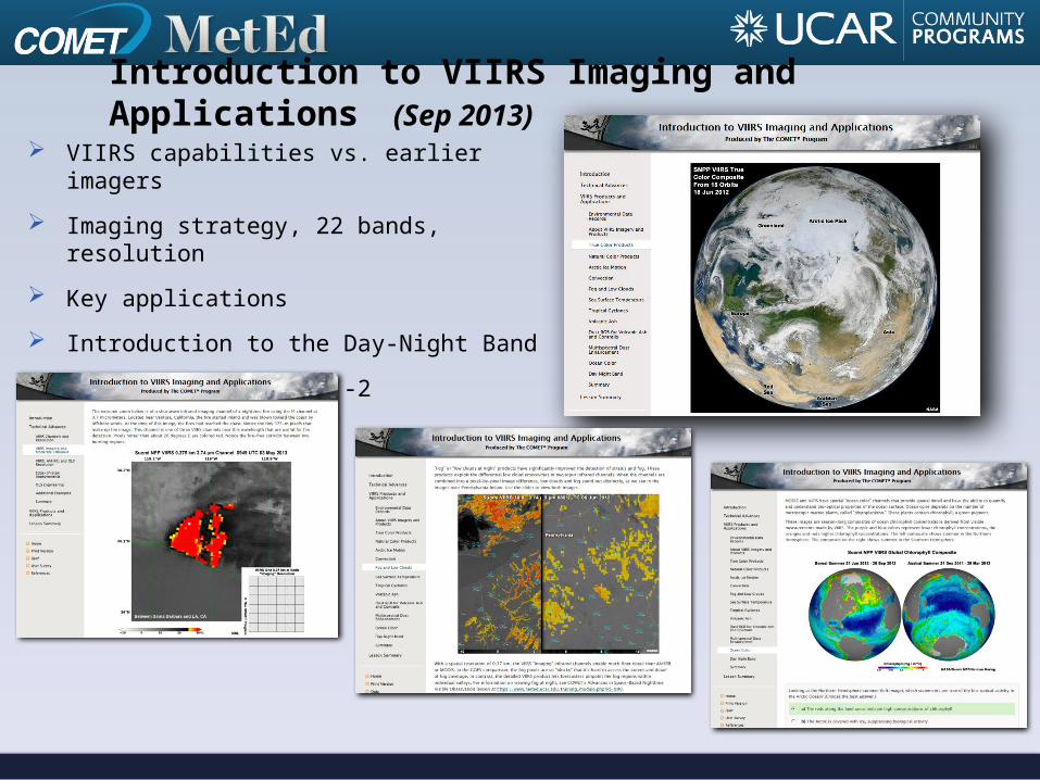
VIIRS capabilities vs. earlier imagers
Imaging strategy, 22 bands, resolution
Key applications
Introduction to the Day-Night Band
Suomi NPP, JPSS-1 & -2
Introduction to VIIRS Imaging and Applications (Sep 2013)
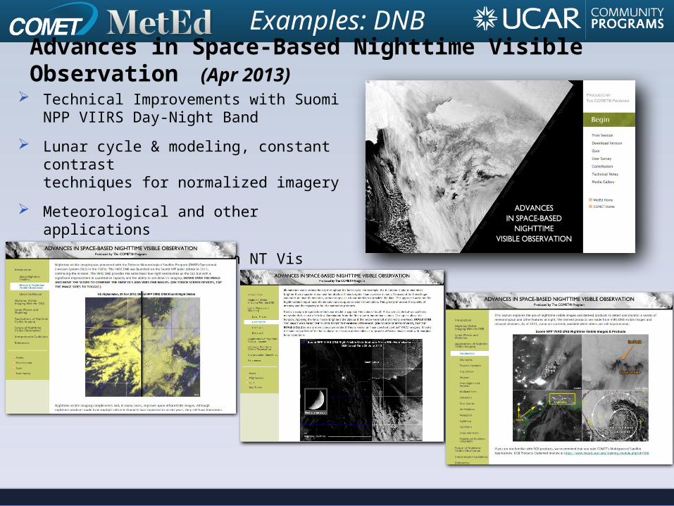
Technical Improvements with Suomi NPP VIIRS Day-Night Band
Lunar cycle & modeling, constant contrasttechniques for normalized imagery
Meteorological and other applications
Future improvements in NT Vis imaging
Advances in Space-Based Nighttime Visible Observation (Apr 2013)
Examples: DNB
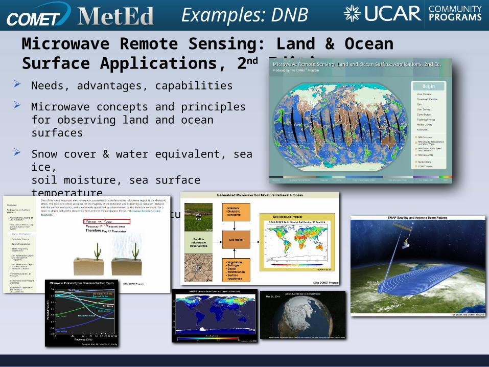
Needs, advantages, capabilities
Microwave concepts and principles for observing land and ocean surfaces
Snow cover & water equivalent, sea ice,soil moisture, sea surface temperature
Past, current, and future missions
Microwave Remote Sensing: Land & Ocean Surface Applications, 2nd Edition (Jan 2015)
Examples: DNB
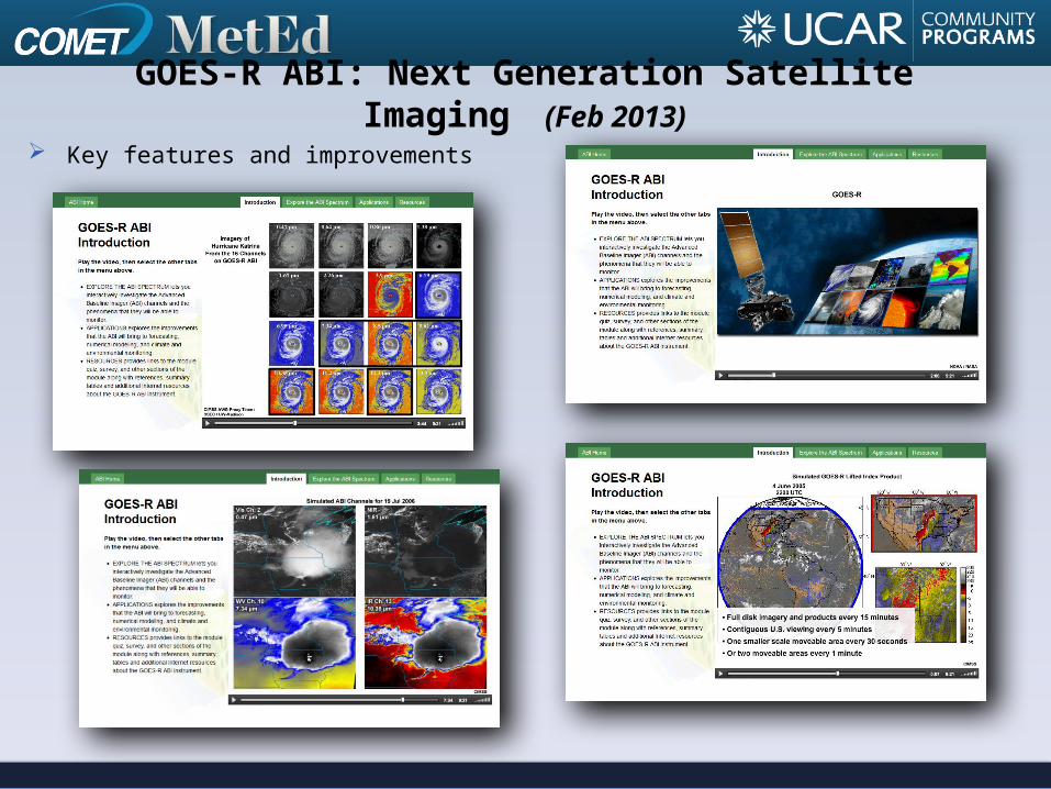
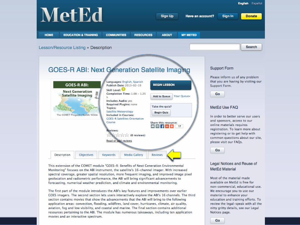
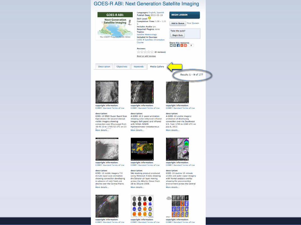
GOES-R ABI: Next Generation Satellite Imaging (Feb 2013)
Key features and improvements
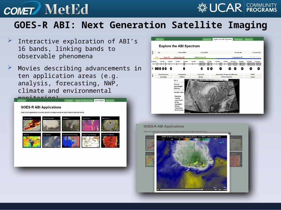
GOES-R ABI: Next Generation Satellite Imaging Interactive exploration of ABI’s 16 bands,
linking bands to observable phenomena
Movies describing advancements in ten application areas (e.g. analysis, forecasting, NWP, climate and environmental monitoring)

GOES-R GLM: Introduction to the Geostationary Lightning Mapper Conceptual exploration of lighting and
detection
Movies describing improvements that the GLM is expected to bring to a variety of applications

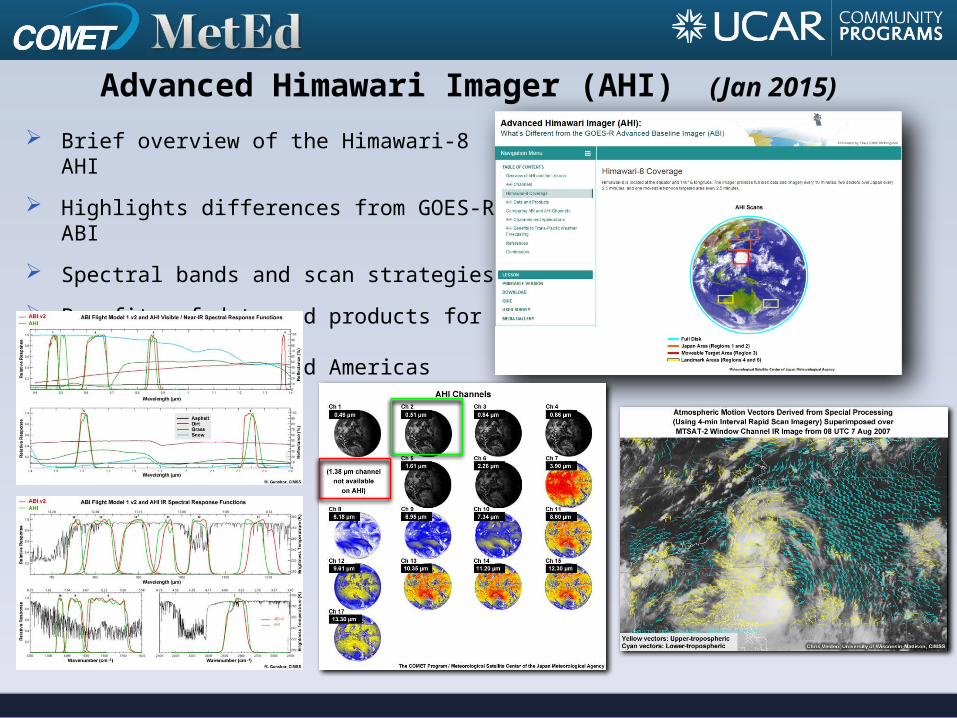
Brief overview of the Himawari-8 AHI
Highlights differences from GOES-R ABI
Spectral bands and scan strategies
Benefits of data and products for usersover the Pacific and Americas
Advanced Himawari Imager (AHI) (Jan 2015)
http://meted.ucar.edu
http://meted.ucar.edu/topics/satelliteor search by keywords for either Lessons, Courses, or Images & Media