wyong shire council community presentation tuggerah lakes floodplain risk management study and plan...
TRANSCRIPT

Wyong Shire Council
COMMUNITY PRESENTATIONCOMMUNITY PRESENTATION
TUGGERAH LAKES FLOODPLAIN RISK MANAGEMENT STUDY AND PLAN
Lara CritchleySenior Planning Engineer (Hydrology)
Natural Resources
FOR
16 March 2010
Presented by -
Wyong Shire Council
Why are we here??
Council is preparing a floodplain risk management plan (the Plan) for the area you live, work or socialise in. An important part of formalising the plan is Community Consultation and community input.

Wyong Shire Council
The study area covers all the areas (not just the flood prone areas) around Tuggerah Lake, Budgewoi Lake and Lake Munmorah.
Wyong Shire Council
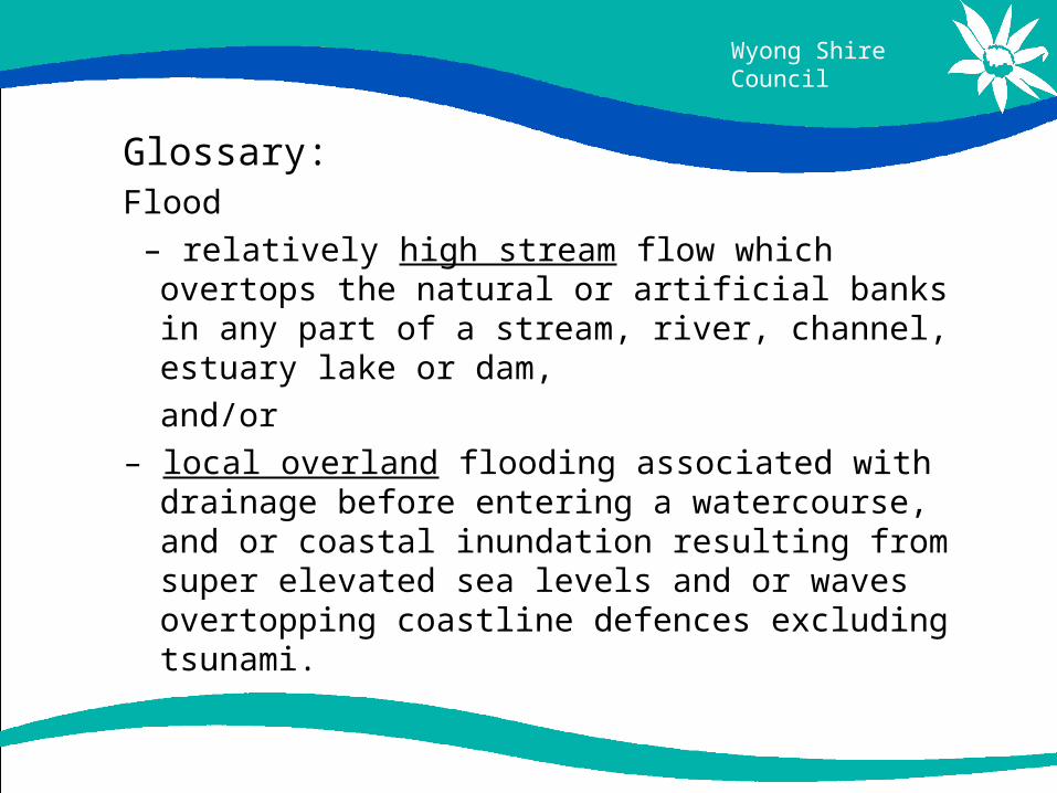
Glossary: Flood
– relatively high stream flow which overtops the natural or artificial banks in any part of a stream, river, channel, estuary lake or dam,
and/or
– local overland flooding associated with drainage before entering a watercourse, and or coastal inundation resulting from super elevated sea levels and or waves overtopping coastline defences excluding tsunami.

Wyong Shire Council
Glossary cont: Floodplain:
- this is the area subject to inundation by floods up to and including the Probable Maximum Flood (PMF) event.
Also referred to as flood prone land.
PMF:
- is the largest flood that could possibly occur at a particular location, usually estimated from probable
maximum precipitation
Wyong Shire Council
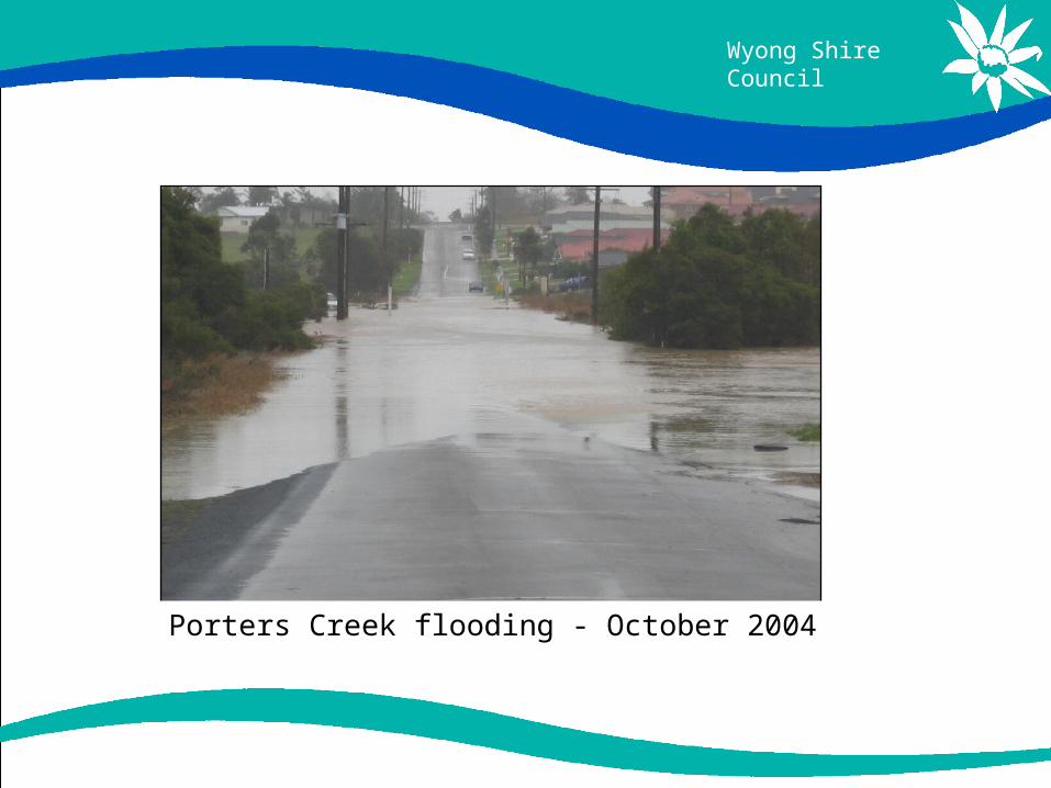
Porters Creek flooding - October 2004

Wyong Shire Council
Ourimbah Creek and Tuggerah Lakes flooding – June 2007

Wyong Shire Council
Wyong River flooding - June 2007

Wyong Shire Council
Urban flooding – Wyong town centre June 2007

Wyong Shire Council
Flood Photos:
Urban nuisance flooding - June 2007

Wyong Shire Council
What is a Floodplain Risk Management Plan?
- a management plan developed in accordance with the principles and guidelines of the NSW Floodplain Development Manual (2005).
- The plan includes information on how particular areas of floodprone land should be managed to achieve specific objectives as well as managing the existing flood risk.

Wyong Shire Council
Why do we need a Floodplain Risk Management Plan for Tuggerah Lakes?
• Reduce the social and financial costs from the risks associated with occupying the floodplain
• Increase the sustainable benefits of using the floodplain; and
• Improve or maintain floodplain ecosystems dependent on flood inundation

Wyong Shire Council
Steps Involved in Formalising Floodplain Risk Management Study and Plan
Formation of a Floodplain Risk Management
Committee
Data Collection
Flood Study Floodplain Risk Management Study
Floodplain Risk Management Plan
Plan Adoption and Implementation

Wyong Shire Council
Flood Study – Tuggerah Lakes catchment
• Completed in 1994;• Design flood levels for PMF, 1%, 5%, 20% and 50%
AEP design storm events;• Approximately 8,700 properties are affected by flood
planning level, • Approximately 2,800 properties with floor levels
below the flood planning level.

Wyong Shire Council
Floodplain Risk Management Study
• Study for the Tuggerah Lakes area is currently being carried out by WMAWater
• Analyse all factors and risks associated with flooding• Analyse potential risk management options
Wyong Shire Council
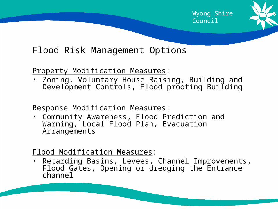
Flood Risk Management Options
Property Modification Measures: • Zoning, Voluntary House Raising, Building and Development
Controls, Flood proofing Building
Response Modification Measures: • Community Awareness, Flood Prediction and Warning, Local
Flood Plan, Evacuation Arrangements
Flood Modification Measures: • Retarding Basins, Levees, Channel Improvements, Flood
Gates, Opening or dredging the Entrance channel

Wyong Shire Council
Property Modification Measures:
Floor above Flood Planning Level
Wyong Shire Council
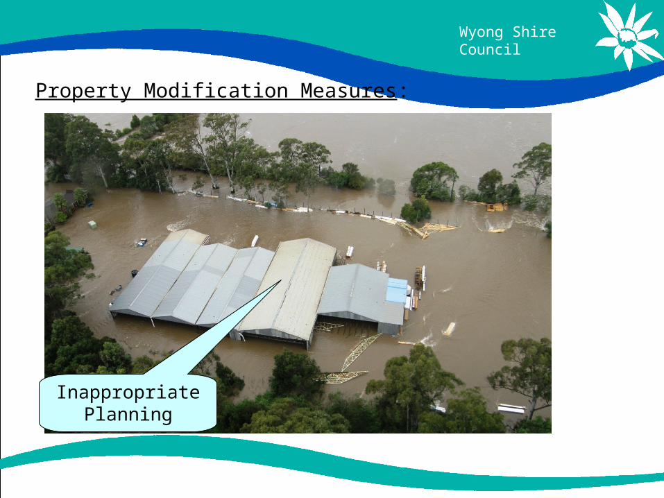
Property Modification Measures:
Inappropriate Planning

Wyong Shire Council
Property Modification Measures:
Voluntary house raising so the floor level is above Flood
Planning Level

Wyong Shire Council
Flood Modification Measures:
Culvert upgrades

Wyong Shire Council
Flood Modification Measures:
Flood Levee at Maclean

Wyong Shire Council
How can you help?
As an inhabitant of the Tuggerah Lakes area, the community has a key role in the preparation, implementation and success of the Floodplain Risk Management Plan.
How?
• By providing any information in relation to historic flood events or flooding experiences, and/or
• suggestions of how Council can manage flood prone land.

Wyong Shire Council
What are the outcomes of the Plan?
Develop a Plan that • Reduces flood risk to the community • Increases community resilience to flood risk • Introduce planning controls that are specific to all flood
prone areas in Tuggerah Lakes area.• Create greater community awareness that Council is
actively involved with floodplain management • Provide information for preparing Local Flood Plans –
for SES.

Wyong Shire Council
Where to from here?
• Final draft of plan public exhibition for review and comment,
• Final report and plan sent to Council for adoption.
• Adopted plan implement recommendations, such as planning controls and construction works.
• The Plan will be reviewed every 5 years

Wyong Shire Council
Any Questions???
TUGGERAH LAKES FLOODPLAIN RISK MANAGEMENT STUDY AND PLAN

Wyong Shire Council
THANK YOU