1 nasa airborne sensor facility ames research center uarc moffett field, ca jeff myers ucsc nasa...
TRANSCRIPT

1
NASA Airborne Sensor FacilityAmes Research Center UARC
Moffett Field, CA
NASA Airborne Sensor FacilityAmes Research Center UARC
Moffett Field, CA
Jeff Myers
UCSC
NASA Ames UARC
2
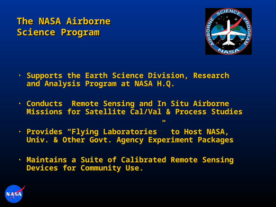
The NASA Airborne Science ProgramThe NASA Airborne Science Program
• Supports the Earth Science Division, Research and Analysis Program at NASA H.Q.
• Conducts Remote Sensing and In Situ Airborne Missions for Satellite Cal/Val & Process Studies
• Provides “Flying Laboratories” to Host NASA, Univ. & Other Govt. Agency Experiment Packages
• Maintains a Suite of Calibrated Remote Sensing Devices for Community Use.

3
NASA Airborne Sensor Facility
• Resides at the University-Affiliated Research Center under the NASA Ames Earth Science Division • Staffed by Univ. of California, Santa Cruz
• Joint funding from the Airborne Science and EOS Programs
• Provides Earth science mission support through:
- Facility Sensor Operations
- Instrumentation Development
- Sensor Maintenance and Calibration
- Airborne communications systems development
(Sensor Web implementation)
- Data Processing and Archive
Ames Research Center

4
Task Manager: J. Myers
Deputy for Operations: B. Coffland
Admin. Assistant: D. Gribschaw
Airborne Sensor Facility Staff
Data Processing & Analysis
Sensor Engineering& Calibration
Lead: P. GrantT. Hildum, Staff ScientistC. Sorenson, Engineer [DFRC]J. Forgione, EngineerT. Ellis, Engineer (Cal Lab)J. Bush, Sensor TechnicianR. Billings, “D. Gearhart, “ [DFRC]K. Dunwoody, “ [DFRC]F. Newman, “ [JSC]
Lead: R. DominguezH. Su, Sr. Data AnalystN. Clinton, Sr. Data AnalystJ. Zheng, Software EngineerE. Fraim, Data AnalystR. Billings, Data Analyst/technicianS. Fegan, Network Admin.P. Windham, “ “
Key InterfacesNASA: UARC:-Task Requestor: R. Berthold -Operations Manager: K, Al Ali-Alt. Task Requestors: J. Brass, -Purchasing: P. Pancoast, M. Fladeland -Human Resources: E. Sylvan-Contracting Officer: M. Lefler -P-Card/Travel: S. Henry
Ames Research CenterEarth Science Division
Contract NAS2-03144Tasks 028, 029, 87-R, 88-R
May, 2008

5
ASF: Recent and Ongoing Projects
J-31 CAR Integration
AMS Ikhana UAS (Wildfire)
Global Hawk Payload Data System
Network Hub
Experiment Interface Panels
Telemetry and Payload
Computer

6
NASA Facility Instrumentation at the Ames
Airborne Sensor Facility
•MODIS and ASTER Airborne Simulators (MAS & MASTER)
•UAS AMS (Autonomous Modular Sensor System)
• Precision Geo-Positioning Hardware (Applanix POS-AV 510 & 610)
• Electro-Optic and Film Cameras
DCS Camera
POS-AV IMU / DGPS
AMS Sensor

7Ames Research CenterAmes Research Center

8
MODIS Airborne SimulatorMODIS Airborne Simulator
• Simulates the EOS Moderate Resolution Imaging Spectrometer (Terra & Aqua)• Supports the MODIS Science Team and other multi-disciplinary investigations• Flown on ER-2 aircraft
Spectrometer Spectral Range µm Number Nominal of Bands Bandwidth µm
1 0.445 - 0.967 9 0.040 2 1.620 - 2.420 16 0.050 3 3.040 - 5.440 16 0.150 4 8.340 - 14.430 9 0.500

9
MAS & MASTER Data Collections: Costa Rica TC4
DC-8 Contrail
Field-Generated Level-2 Data Products
(with GSFC MODIS Cloud Team)
MAS IR Composite
TC4
Nadir Temp. Product

10
• Simulates both the EOS Advanced Spaceborne Thermal Emission Reflection Radiometer and MODIS
• Automated Geo-Location/Rectification
• Flown on B-200, ER-2, Caravan, WB-57, DC-8 aircraft Spectrometer Spectral Range µm Number Nominal of Bands Bandwidth µm
1 0.440 - 0.965 11 0.040 2 1.600 - 2.427 14 0.050 3 3.075 - 5.325 15 0.150 4 7.700 - 13.000 10 0.500
MASTER: The MODIS-ASTER Airborne SimulatorMASTER: The MODIS-ASTER Airborne Simulator
Mount St. Helens: 3 meter MASTER Data + 1 meter LIDAR DEM

11
Wild Fire ResearchWild Fire ResearchOcean Color / Coral Reef
ResearchOcean Color / Coral Reef
ResearchHurricane and Atmospheric
StudiesHurricane and Atmospheric
Studies
AMS: The UAS Autonomous Modular Sensor AMS: The UAS Autonomous Modular Sensor
General Atomics Altair UAV
ASTLAmes Research Center
• Configurations for Land Surface, Ocean Color, and Atmospheric Mapping
• Automated geo-rectification and onboard data product generation
• Real-Time data telemetry
• Compatible with large UAS (Predator-B, Altair, Global Hawk) or conventional aircraft

12
Autonomous Modular Sensor: Western States Fire UAS Missions
Poomacha Fire
10/28/07

13
Global Hawk UAS Payload Communications & Control System
Payload Instruments
Network HostLink Module (Database &
Telemetry I/O)
GHOC Link Server
Experimenter Workstations
Web-Based Users
Master Payload Control System
& PDU
Pilot’s MPCS GUI
Instrument Power & Control
Eth
ern
et
Global Hawk Ground
Operations Center
AIRCRAFT
GROUND
PI Hardware
Aircraft HW
Iridium (4 ch) Iridium (2 ch)Ku-Band Sat-Com
Flight Deck
Interface Panels (8)
Visualization Tools

14
ASF Sensor Calibration Lab
Transfer Radiometer
Integrating Spheres
Spectral Sources
NIST Ref. Paper:
Radiometric Validation of NASA ARC Calibration Laboratory, S. Brown, C. Johnson, et al. Applied Optics/Vol.44, No. 30, Oct. 2005
NASA Spectral and Radiometric Calibration Facility for Airborne Sensors
Spectral Range = 350nm – 14um
NIST-Traceable, with NASA EOS Program Oversight
Currently supporting:
AMS, MAS and MASTERSSFR (Solar Flux Radiometer)AATS-14 (Sun Photometer)CAR (Cloud Radiometer)Field Spectro-RadiometersHeadwall HSI
LIGHT SOURCES(Tungsten Lamp, Glowbar)
MONOCHROMETERMAS SPECTROMETER
M3
M2
M4M1
Spectral Calibration Configuration
CHOPPER
FILTER WHEEL
Optical Bench & Collimator

15
Reference WebsitesReference Websites
General Information & Flight Requests• http://airbornescience.nasa.gov
MASTER web page• http://masterweb.jpl.nasa.gov
MAS web page• http://mas.arc.nasa.gov
Airborne Sensor Facility web page• http://asapdata.arc.nasa.gov
General Information & Flight Requests• http://airbornescience.nasa.gov
MASTER web page• http://masterweb.jpl.nasa.gov
MAS web page• http://mas.arc.nasa.gov
Airborne Sensor Facility web page• http://asapdata.arc.nasa.gov
650-604-3598