a geographer’s basic tool: the map. key terms mercator projection political divisions provinces...
TRANSCRIPT

A Geographer’s Basic Tool:The Map

Key Terms
• Mercator projection• Political divisions• Provinces• States• Territories• Topographic map• Winkel Tripel projection
• General-purpose map• Thematic map
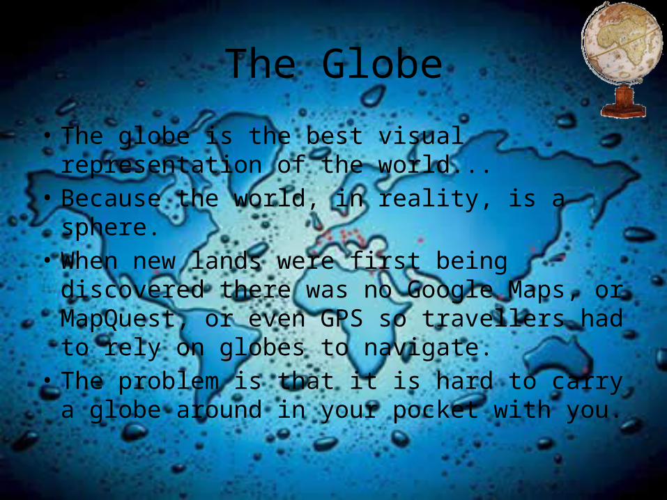
The Globe
• The globe is the best visual representation of the world...
• Because the world, in reality, is a sphere.• When new lands were first being discovered
there was no Google Maps, or MapQuest, or even GPS so travellers had to rely on globes to navigate.
• The problem is that it is hard to carry a globe around in your pocket with you.

• So some crafty person came up with the idea of making a map!
• Maps are flat projections of the surface area of the earth.
• The first widely used map was the Mercator projection.

Mercator Projection

Activity
• On your own Mercator projection map locate, label and shade the following countries:
• Greenland India• Canada Sudan• Brazil Saudi Arabia• Argentina Algeria

Activity Continued
• Now rank the countries by size from largest to smallest according to how they appear on your map.

The Winkel Tripel Projection

• What are some differences that you see in the Winkel Tripel projection and the Mercator projection?
• Look at the Winkel Tripel projection and re-rank the given countries again from largest to smallest.

• Did you notice any differences in the rankings?
• Why do you think this may be?

• The Winkel Tripel Projection accounts for the curvature of the Earth and is therefore a better indicator of size for countries.
• The Mercator Projection causes distortion, the countries in the North appear larger than they are, and the countries in the centre appear smaller.

• The Winkel Tripel Projection map was produced by the National Geographic Society in 1998.
• There is still some distortion with the Winkel Tripel Projection, but it is not as great as with the Mercator Projection.
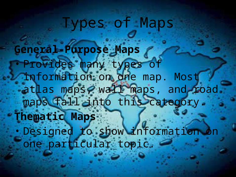
Types of Maps
General-Purpose Maps• Provides many types of information on one
map. Most atlas maps, wall maps, and road maps fall into this category.
Thematic Maps• Designed to show information on one
particular topic.
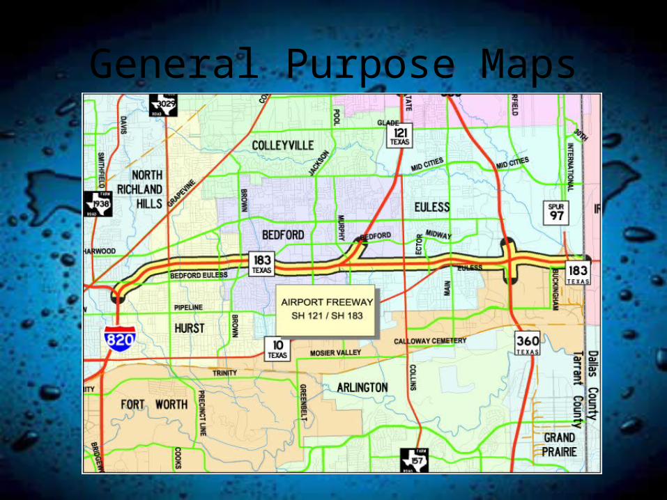
General Purpose Maps

Thematic Maps

Other Maps
Topographic Maps • Shows a lot of detail for a small area• Uses symbols to show different features.

Topographic Map

Political Maps
• Show government borders and boundaries.
• Include cities and other major features of a country like bodies of water.

Political Map of North America

Political Map of Canada

Provinces, Territories and States
• What is the difference between provinces, territories and states?
• A province is an area of land that is governed as an unit of a country or region.
• Ex. Ontario has it’s own laws as well as federal law.

• A territory is a region of land in a country. Territories do not have their own law and are run at a federal level.
• A state is an area of land that was independent and has come together to form a union. States have their own laws, but gave up some of their independence to the federal government to join the union of states.

Canada Quiz Time!
• Spend 5 minutes studying the map of Canada and then we will have a quiz on the provinces and territories of Canada.


• http://www.lizardpoint.com/fun/geoquiz/canquiz.html

• Let’s test your knowledge with the world map!
• Can you find Africa? • Can you find Ghana?• Can you find Australia?• Can you find Central America?


Assignment
• Use the “Geographic Issues of the 21st Century” textbook to complete the “Latitude and Longitude” activity on pg. 36-37.
• First read the information above the activity and create definitions for latitude, longitude, and prime meridian.
• Use the Canadian map inside the front cover for reference.
