best practices in pakistan of using space-based
TRANSCRIPT

Best Practices in Pakistan of Using Space-based Information for Disaster Management

Sequence of presentation

Pakistan

SUPARCO Establishments

Spot Receiving Station
Aqua / Terra Receiving Station

Disaster Monitoring

Pakistan Floods - 2011
• A rapid mapping of the flood affected areas was carried out using pre-post MODIS data.
• This was followed by use of SPOT 4 and SPOT 5 data for detailed damage analysis.
• The information was supplied in regard to monitoring damages to infrastructure, settlements, canal breaches, roads, bridges, railways and cropped area.
• Temporal flood inundation mapping, extent of flood water and statistics for various attributes regarding flood damage
• Geographic and agriculture area damaged and extent losses in crop yield and production for Kharif season
• The flood recession statistics are being provided on 5 daily basis

Pakistan Floods - 2011

20 August 2011 04 September 2011 15 September 2011 28 September 2011
SINDH: FLOOD/RAIN 2011


Pakistan Floods - 2010
• Pakistan experienced worst monsoon-related floods since 1929.
• SUPARCO monitored this disaster since its inception.
• It developed maps showing flood extent, damage assessment on daily basis.
• Provided these to the concerned agencies such as NDMA, MINFA, etc.

12
Flood/Rain Extent - 10 Sep 2010
Flood/Rain Extent - 21 Sep 2010
Flood/Rain Extent - 16 Aug 2010
Flood/Rain Extent - 31 July 2010
Flood/Rain Extent - 27 Aug 2010
KARACHI
AFGHANISTAN
INDIA
IRAN
Warsak Dam
Tanda Dam
Khanpur Dam
Tarbela Dam
Mangla Dam
Chashma Barrage Rasool Barrage Marala Headworks
Qadirabad
Trimmu Barrage Balloki Headworks
Sidhnai Headworks Taunsa Barrage
Islam Headworks
Punjnad Headworks
Guddu Barrage
Sukkur Barrage
Kotri Barrage
ISLAMABAD
QUETTA
LAHORE
Swat
Gilgit
CHINA

Pakistan Landslide - 2010
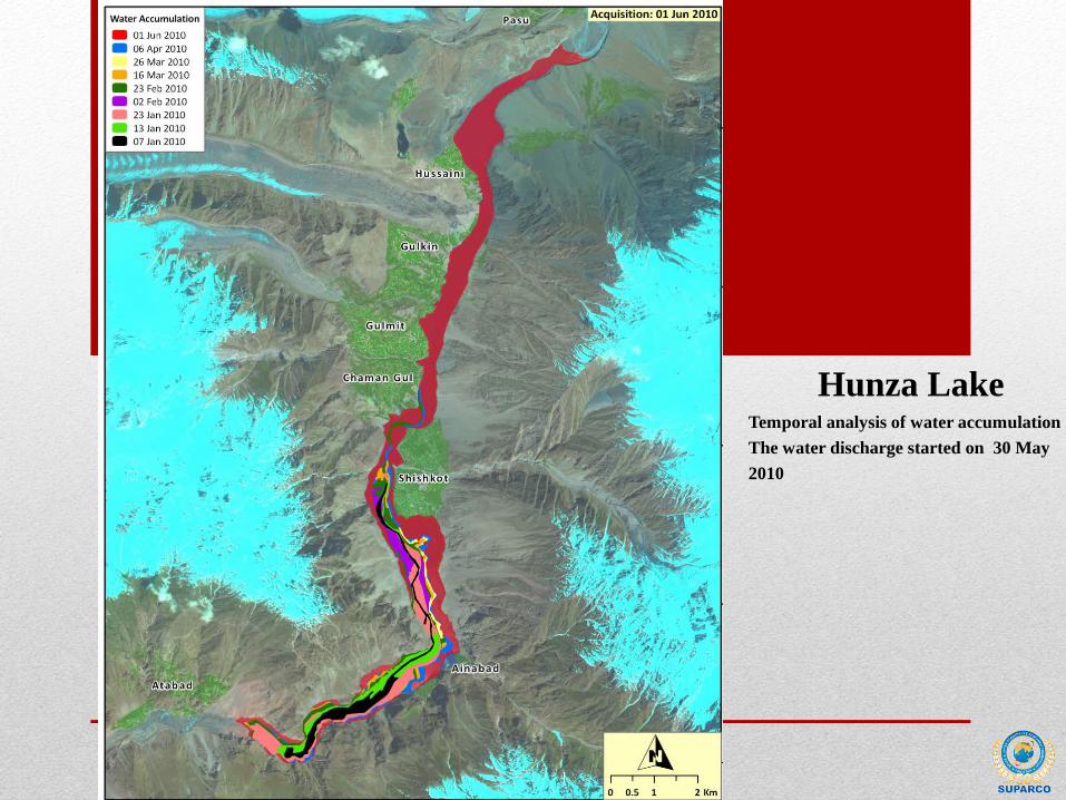
Hunza Lake Temporal analysis of water accumulation . The water discharge started on 30 May 2010

Earthquake

Glaciers Monitoring

Seasonal Snow Cover Mapping using

Agriculture/Drought monitoring

Agriculture Major crops are being continuously monitored across
the country for crop forecasting, yield & production
estimation to
ensure food security
27-02-2011
31-03-2011
29-04-2011

Mangroves monitoring


BULLETINS
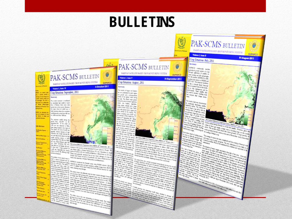
BULLETINS

Bilateral and multilateral cooperation
Joint research projects
Capacity building and technology upgradation
Scientific & technical trainings
International Cooperation

Conclusion

Thank you