blogs.henrico.k12.va.usblogs.henrico.k12.va.us/.../google-earth-math-project-ski-slopes.docx · web...
TRANSCRIPT

Google Earth Math ProjectGeometry Project Using Google Earth – Mrs. Wood
Ski slopes are marked by level of difficulty. One of the methods to determine this level is by finding the degree of elevation. This value tells us the slope of the ski run in degrees: The higher the degree value, the steeper the slope, the more difficult the run.Students will use Google Earth to obtain satellite images for a variety of ski slopes in the Pacific North West. Once a ski resort has been selected, students must then find the angle of elevation for two ski runs using right triangles, topographical measurements, an interactive ruler and trig functions. Students will take a screen shot of the satellite image, type their findings (with pictures attached) on a Word document and use correct arithmetic to solve the angle of elevation.Project Criteria - Rubric:
1. Contain title and students name.(10 pts)
2. Describe the project in sufficient detail (10pts)
3. Obtain a satellite image using Google earth of a ski resort (20pts)
4. Use the web based ruler to find all measurements (20pts)
5. Use the “hand” function to find all elevations ( 10pts)
1.
2.
3.
4.
5.
6.
6. Use any digital camera, computer camera, to take pictures of your arithmetic
then place the jpeg on your Word Doc. ( 30pts)
Grade
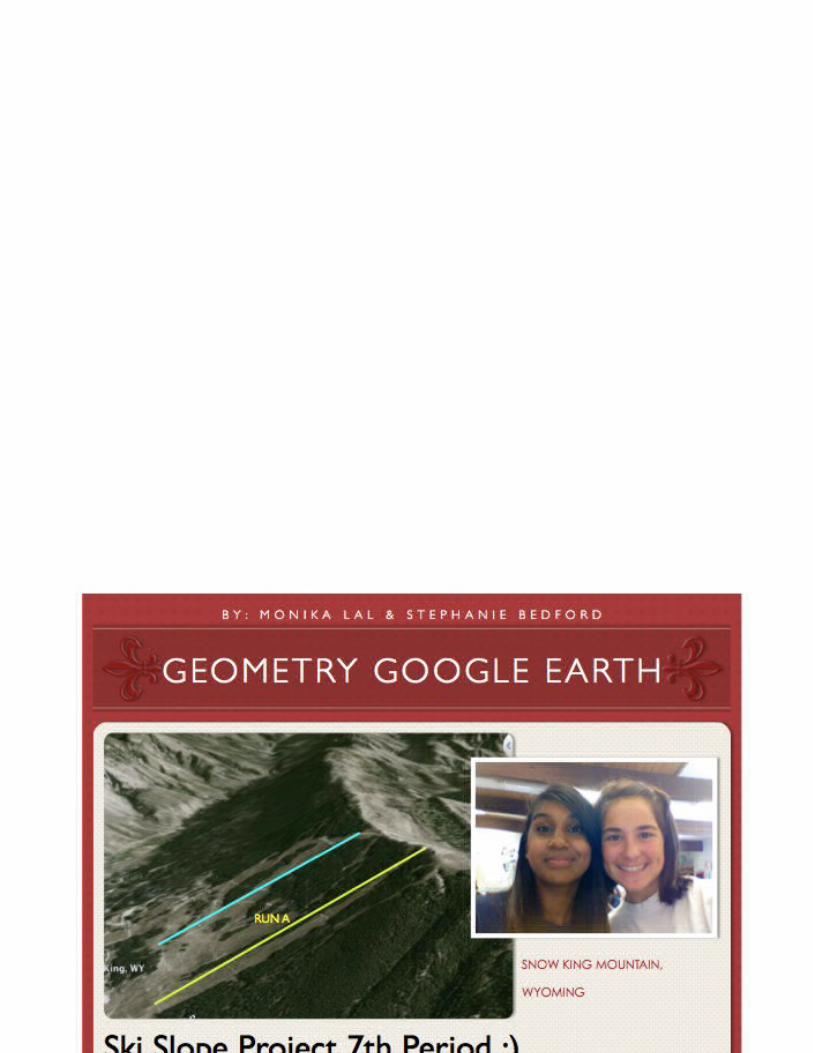
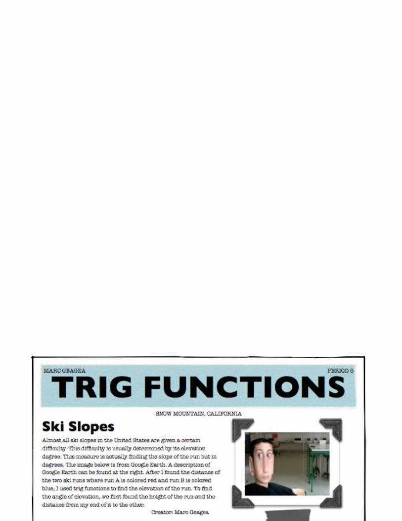
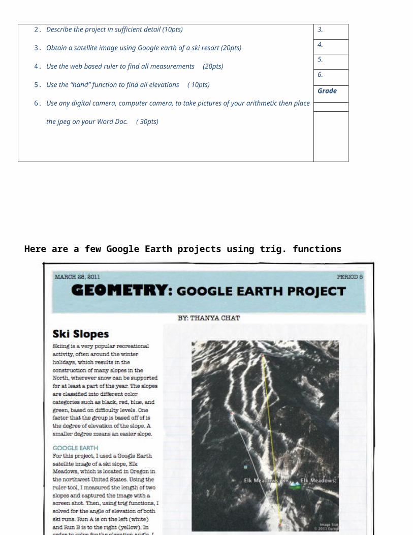
Here are a few Google Earth projects using trig. functions