developer's guide to geodata access in arcgis as a spatial type. ... return and set spatial...
TRANSCRIPT

Developer's Guide to GeodataAccess in ArcGIS
Craig GillgrassBrent PierceColin Zwicker
Russell BrennanGary MacDougall

Presentation Outline
• Introduction• Databases and Geodatabases• SQL• ArcObjects• Plug In Data Sources• Python• File Geodatabase API• Runtime• Web Editing

Seminar Roadmap
• 1:00 – 4:30 pm with break from 2:30 pm to 3:00 pm
• Assume you have a basic understanding of the geodatabase and databases
• Basic programming skills- Demos in various languages
- C#, Python, SQL, JavaScript, etc
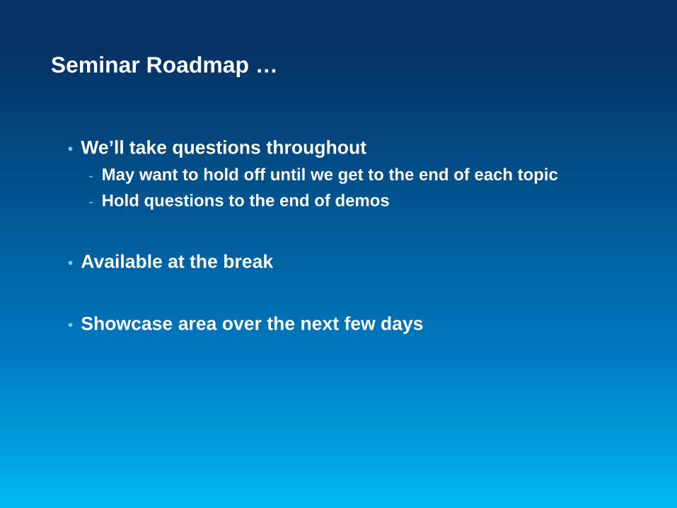
Seminar Roadmap …
• We’ll take questions throughout- May want to hold off until we get to the end of each topic- Hold questions to the end of demos
• Available at the break
• Showcase area over the next few days

Presentation Outline
• Introduction• Databases and Geodatabases• SQL• ArcObjects• Plug In Data Sources• Python• File Geodatabase API• Runtime• Web Editing

ArcGIS 10 — A Complete System
EasierMore Powerfuland Everywhere
Cloud
Enterprise
Local
• Discover• Create• Manage• Visualize• Analyze• Collaborate
Mobile
Desktop
Web

Databases
• You might have spatial or nonspatial data in a database that you want to use in ArcGIS
- Oracle, SQL Server, DB2, Informix, PostGreSQL, Netezza
• You can connect directly to a supported database and view the data in the tables by making a connection from the Catalog tree in ArcGIS for Desktop
• To filter what data appears in ArcMap, you can use a query layer
• Use SQL to access the data within the database

What can you access in a Database?
• Rows and Tables- Containing zero to many rows- One to many columns- All rows in the table have the same schema
• Can perform table management tasks- View and modify schema- Add and remove rows- Perform queries

What can you access in a Database? …
• A table with a column that stores a spatial type- We call this a feature class
• Each row represents a feature• The fields in each row represent various characteristics or
properties of the feature• One of the fields holds the feature geometry which is
stored as a spatial type

Viewing database data in ArcGIS
• Tables (with and without a spatial type) are viewed in ArcGIS through a query layer
- Define the layer yourself or let ArcGIS discover how to define it
• Query Layer is a layer that is defined by a SQL query- Provide data integration with geodatabases as well as from
databases- Can quickly integrate spatial and nonspatial information into
GIS projects independently of where and how that information is stored

Viewing database data in ArcGIS
• Simple SQL query
SELECT * FROM dbo.HurricaneTracks_2005 hurricane

Viewing database data in ArcGIS
• Most complex SQL query that uses casting, derived columns and spatial operators
SELECT county.id, county.State_name, county.NAME county_name, county.POP1990 population, CAST(county.POP1990 as decimal)/CAST(states.POP1990 as decimal)*100 PctStatePop, county.Shape FROM dbo.HurricaneTracks_2005 hurricane, dbo.countiescounty, dbo.states states WHERE hurricane.NAME = 'KATRINA' AND hurricane.Shape.STIntersects(county.shape) = 1

Other Database Tasks
• Connecting to a database • Supported data types• Viewing data and query layers• Administer the database (e.g. grant access)• Create new tables and alter schema

Building on top of Database Functionality
• Display and use of the data is determined on the fly or defined by you within the layer
• Works well for viewing and querying spatial and non-spatial database information
• Cases where you want to do more with your data
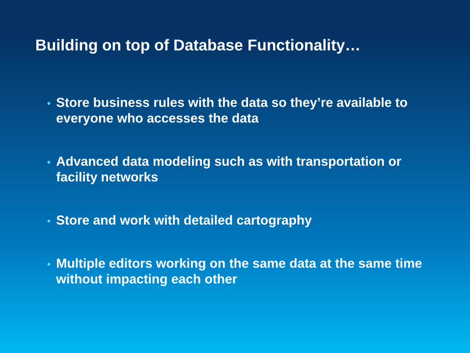
Building on top of Database Functionality…
• Store business rules with the data so they’re available to everyone who accesses the data
• Advanced data modeling such as with transportation or facility networks
• Store and work with detailed cartography
• Multiple editors working on the same data at the same time without impacting each other

The Geodatabase
• A physical store of geographic data - Scalable storage model supported on different platforms
• Core ArcGIS information model- A comprehensive model for representing and managing GIS
data- Implemented as a series of simple tables
• A transactional model for managing GIS workflows
• Set of components for accessing data

Geodatabase is based on relational principles
• The geodatabase is built on an extended relational database
• Leverages key DBMS principles and concepts to store geographic data as tables in a DBMS
• The core of the geodatabase is a standard relational database schema
- a series of standard database tables, column types, indexes, and other database objects

System tables XML
SQL type
Geodatabase Schema
• There are two sets of tables:- Dataset tables (user-defined tables)- Geodatabase system tables
User data

User-defined tables
- Stores the content of each dataset in the geodatabase
• Datasets are stored in 1 or more tables• Spatial Types enhance the capabilities of the
geodatabase- SQL access to geometry- Industry standard storage model and API
System tables XML
SQL typeUser data

Geodatabase system tables
• System tables store definitions, rules, and behavior for datasets
• Tracks contents within a geodatabase• 4 main system tables• Geodatabase schema is stored primarily within an
XML field
System tables XML
SQL typeUser data

Geodatabase Schema…
System tables XML
SQL typeUser data

Geodatabase Schema…
System tables XML
SQL typeUser data

Geodatabase Schema…
System tables XML
SQL typeUser data

Modeling Real-World Data with the Geodatabase …
• The geodatabase enhances data and thematic layers by adding rules and behavior
- Spatial and relational integrity rules
- Data validation
- Business logic
• Create thematic layers with behavior- Road and utility networks
- Parcel fabrics
- Terrain and 3D surfaces
- Location services
• Extended framework for advanced workflows and editing - Multiuser editing, Data Replication, Editor tracking, Archiving
Geodatabase Functionality
Dimensions
Cadastral
NetworksSurveys
Addresses
AnnotationVectors
3D Objects
Topology
CADImages
Terrain
Attributes
Cartography

Presentation Outline
• Introduction• Databases and Geodatabases• SQL• ArcObjects• Plug In Data Sources• Python• File Geodatabase API• Runtime• Web Editing

What is SQL (Structured Query Language)?
• A set of defined expressions and syntax used to query and manipulate data in a DBMS
• Most SQL based on an ANSI standard and then extended for each DBMS
- SQL syntax across different DBMSs is slightly different
• SQL can be used to access, create, and update data
• Geometry is stored within a Spatial Type

What is a spatial type?
• A spatial type (ST) is a type that stores geometry data in a single spatial attribute
- Geometry type, coordinates, dimension, spatial reference
• Spatial Index- Access path for quick retrieval
• Relational and geometry operators and Functions- Constructors - Accessor- Relational - Geometry

What are the benefits of a spatial type?
• Efficiency- Spatial data and methods are stored in the database- Applications access native dbms type
• Accessed using common API’s and SQL- C, C++, C#, Java, OLEDB- Adheres to standards for SQL access
• With SQL and a ST you can- Create tables with a spatial attribute- Read and analyze the spatial data- Insert, update, and delete simple geometry data

Accessing Geodatabase through SQL
• Access schema and properties of existing datasets- Use SQL SELECT statements to query the Definition field in
the GDB_ITEMS table
• Editing tables/feature classes, versioned or not
• Create tables with or without spatial type
• Use spatial SQL functions to evaluate attributes and spatial relationships, perform spatial operations, and return and set spatial properties

Accessing Geodatabase through SQL
• With SQL accessing the data at the DBMS level- Bypass behaviors and functionality enforced by the geodatabase or ArcGIS clients
• Need to be aware of what you can and cannot edit
- Relationship classes - Geometric networks - Topology…
DBMS
ArcSDE technology
Geodatabase
ArcGIS
ArcObjects
SQL

Accessing Geodatabase through SQL
• In the context of the Geodatabase, creation and update limited to simple data
- Attributes of user-defined tables or feature classes in an enterprise geodatabase if those attributes do not participate in geodatabase functionality
- User-defined database tables that are not registered with the geodatabase
• Use the Is_Simple function to determine whether your data can be updated

Schema Creation
• You can use the native SQL of your DBMS to tables and populate tables
- Need to register the table with the geodatabase to use geodatabase functionality
• Generally advise to not modify schema of geodatabase items (i.e domains) through SQL
CREATE TABLE hazardous_sites (row_id integer NOT NULL, site_idinteger, name varchar(40), location sde.st_geometry);
Register with Geodatabase command

Editing tables/feature classes
• Editing ArcGIS feature classes with SQL- Simple features only- Points, lines, polygons (single or multipart)- Ability to modify geometry when stored as a spatial type- Without geodatabase behavior
- Not part of topology, geometric network, etc…
• Editing tables/feature classes- Use SQL SELECT statements- Directly editing the database tables (no delta tables)- Nonversioned editing in ArcGIS terminology

Editing tables/feature classes
• Editing versioned tables/feature classes- Requires multiversioned views
• Can use SQL to update, insert and delete data from tables that are not versioned
• Can leverage DBMS functionality- Unique indexes, constraints, referential integrity, default
values, triggers

Editing tables/feature classes
• Requires a unique identifier (ObjectID) when inserting- Used to uniquely identify rows in tables in a geodatabase- Obtained from classes sequence or procedure- Object ID is used by ArcGIS to do such things as display
selection sets and perform identify operations on features

Editing versioned tables/feature classes
• Must use several stored procedures/commands installed with ArcSDE technology
- Create multiversioned views (sdetable –o create_mv_view)- Create a new version (create_version)- Set which version to access (set_current_version)- Perform edits within the new version (edit_version )
• Unlike nonversioned editing, ObjectID values for new records are automatically generated
- Changes are made to the delta tables- Versions must be reconciled through ArcGIS

Accessing Geodatabase through SQL
• Geodatabase built on simple tables and well‐defined types
• SQL can be used to access, create, and update simple data
- Access schema and properties of existing datasets
- Editing tables/feature classes even when versioned
- Spatial and attribute queries
- Schema operations limited to table creation
• Query Layers provide way to integrate results of SQL operations into ArcGIS

Demo
• SQL access with the Geodatabase demo

Presentation Outline
• Introduction• Databases and Geodatabases• SQL• ArcObjects• Plug In Data Sources• Python• File Geodatabase API• Runtime• Web Editing

What is ArcObjects?
• ArcObjects is a library of Component Object Model (COM) components that make up the foundation of ArcGIS
• ArcObjects components are installed with the ArcGIS Desktop, ArcGIS Engine, or ArcGIS Server products and can be used in a number of ways:
- To customize the ArcGIS Desktop applications- To build standalone mapping applications- To develop Web applications
• Grouped into over 65 assemblies based on relationships between objects
• Available for .Net, Java, C++

Workspace Factory and Workspaces
• Workspace Factory is a dispenser of workspaces- Personal, File, ArcSDE workspaces, SQL workspaces - Create a factory from a workspace factory coclass
• Workspace factories are singleton objects- One instance created per Component Object Model (COM)
apartment- Further calls return a reference to the existing object
WorkspaceFactoryIWorkspaceFactory
WorkspaceIWorkspaceFactory2

Workspace Factory and Workspaces
• A workspace is a container of datasets.- Database or Geodatabase
• Workspaces are not singleton objects- But, requesting a workspace with the same properties as an
existing instance returns a reference to it- The Geodatabase guarantees unique instancing
WorkspaceFactoryIWorkspaceFactory
WorkspaceIWorkspaceFactory2

Making a connection
• Create a workspace from a factory - Path to data and window handle (app ID)- Propertyset or string containing connection properties
• Connecting using a property setIWorkspaceFactory sdeWkspFact = new SdeWorkspaceFactoryClass();
IPropertySet propset = new PropertySetClass();
propset.SetProperty("SERVER",“crimsontide");
propset.SetProperty("INSTANCE","5151");
propset.SetProperty("USER","brent");
propset.SetProperty("PASSWORD","brent");
propset.SetProperty("DATABASE","null");
propset.SetProperty("VERSION","SDE.DEFAULT");
propset.SetProperty("AUTHENTICATION_MODE","DBMS");
IWorkspace workspace = sdeWkspFact.Open(propset, 0);
string nameOfFile = "D:\\data\\redarrow.sde”;
IWorkspace workspace = workspaceFactory.OpenFromFile(nameOfFile, 0);
• Connecting using a connection file

Demo
• Database Access with ArcObjects
Create an Object Class
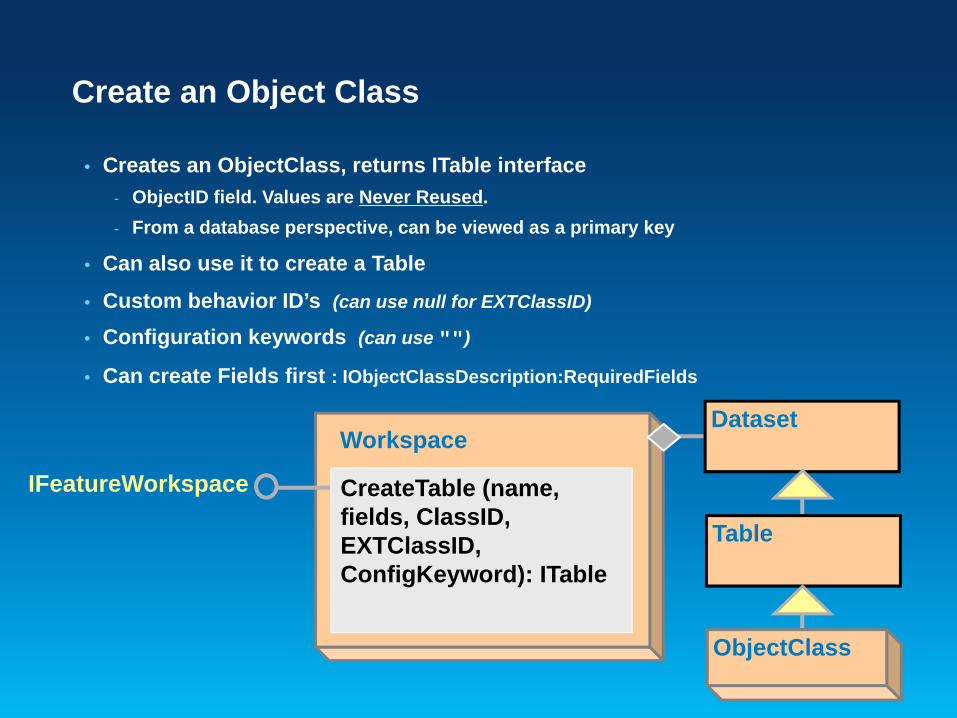
• Creates an ObjectClass, returns ITable interface- ObjectID field. Values are Never Reused.- From a database perspective, can be viewed as a primary key
• Can also use it to create a Table
• Custom behavior ID’s (can use null for EXTClassID)
• Configuration keywords (can use "")
• Can create Fields first : IObjectClassDescription:RequiredFields
Workspace
IFeatureWorkspace CreateTable (name, fields, ClassID, EXTClassID, ConfigKeyword): ITable
ObjectClass
Table
Dataset

Create an Object Class …
• Object Classes have geodatabase specific functionality that Tables do not, through several interfaces
- IObjectClass- AliasName- ObjectClassID- RelationshipClasses
- ISubtypes- AddSubtype
• Standard table operations, such as queries and row creation, are still performed on an object class using the ITable interface.

Create a Feature Class
• Same as CreateTable except:– Needs Shape type and Shape field name
• IGeometryDefEdit used when defining new feature class• Use IObjectClassDescription:RequiredFields
Workspace
IFeatureWorkspace CreateFeatureClass (name, fields, ClassID, EXTClassID,feature type, shapefield name, ConfigKeyword): IFeatureClass
ObjectClass
Table
Dataset
FeatureClass
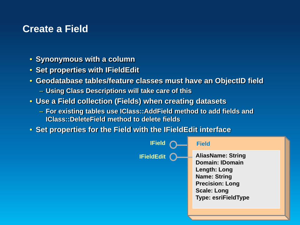
Create a Field
• Synonymous with a column• Set properties with IFieldEdit• Geodatabase tables/feature classes must have an ObjectID field
– Using Class Descriptions will take care of this• Use a Field collection (Fields) when creating datasets
– For existing tables use IClass::AddField method to add fields and IClass::DeleteField method to delete fields
• Set properties for the Field with the IFieldEdit interface
FieldIField
IFieldEdit AliasName: StringDomain: IDomainLength: LongName: StringPrecision: LongScale: LongType: esriFieldType
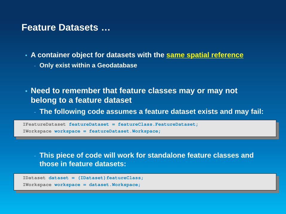
Feature Datasets …
• A container object for datasets with the same spatial reference- Only exist within a Geodatabase
• Need to remember that feature classes may or may not belong to a feature dataset
- The following code assumes a feature dataset exists and may fail:
- This piece of code will work for standalone feature classes and those in feature datasets:
IFeatureDataset featureDataset = featureClass.FeatureDataset;IWorkspace workspace = featureDataset.Workspace;
IDataset dataset = (IDataset)featureClass;IWorkspace workspace = dataset.Workspace;

Domains
• Describe the legal values of a field type.• Used to ensure attribute integrity
• Use the IWorkspaceDomains interface to manage the collection of domains found within a workspace.– Since Domains are shared amongst feature classes; the management of them
is at the workspace level• DeleteDomain will fail if the domain is associated with a field• Domain names are unique across a workspace
– Need to check for existence of Domain name prior to creation or trap for the error
WorkspaceIWorkspaceDomainsAddDomainAlterDomainDeleteDomainDomainsByFieldTypeDomainsByName…

Subtypes
• Subtypes are specific to feature class- Partition the objects in a class into like groups
• Once set, need to check attribute, connectivity and relationship rules at subtype level
• Each object class has a default subtype code- Important for feature creation and editing
• ISubtypes interface is used for managing subtypes and the associated default values and attribute domains
ObjectClassISubtypes
AddSubtypeDefaultSubtypeCodeDomain…

Creating Rows and Features
• Basic process to create row or feature- CreateRow or CreateFeature
- Can also use InsertCursor, more later- If subtypes present, set IRowSubtypes::SubtypeCode- If default values, call IRowSubtypes::InitDefaultValues- Set attribute values- Create geometry and set Shape- Call Store
- Writes the values to the record in the table

Simple vs. Complex Features
• Within the geodatabase, behavior is dependent upon whether a feature is simple or complex
• Simple features- Point, line, polygon, multipoint, multipatch features- Simple Relationships
• Complex features- Network features (simple edge, simple junction, complex edge)- Annotation features- Dimension features
• Any dataset specific behavior (i.e.: for features created in geometric networks) is handled at creation time
- Not required to call Connect or create Dirty Areas

Demo
• Creating Features- Walk through basic process to create a feature

Geodatabase Editing - Edit Session
• Geodatabase explicitly stores change information when edited
• Only see the changes you’ve made within the edit session- Changes made by other applications are not seen- Until Save or Discard
• Edits should be made within an edit operation- StartEditOperation – StopEditOperation- Perform the edit as quickly as possible- Keep edit operation “tight and compact”- Collect the required information before starting the edit
operation

Geodatabase Editing - Edit Session …
• Each edit operation represents a transaction- Stop commits the change- Abort rolls back, like undo
• Applications are responsible for calling:- AbortEditOperation when errors are detected- StopEditOperation to complete edit operations
- Pushes the edit operation onto the undo stack
• UndoEditOperation, RedoEditOperation- Geodatabase moves the operation between the undo and redo
stacks

Editing the Geodatabase
• When to use edit sessions?- Must use with topologies, geometric networks, etc- Use IObjectClassInfo2::CanBypassEditSession
• When to use IEditor or IWorkspaceEdit?- Use IEditor to edit within an application, like ArcMap- Ensures undo/redo consistency between edits made
programmatically and through the UI- Must use IWorkspaceEdit in Engine environment
• Similar methods on each
Editor WorkspaceIWorkspaceEditIEditor
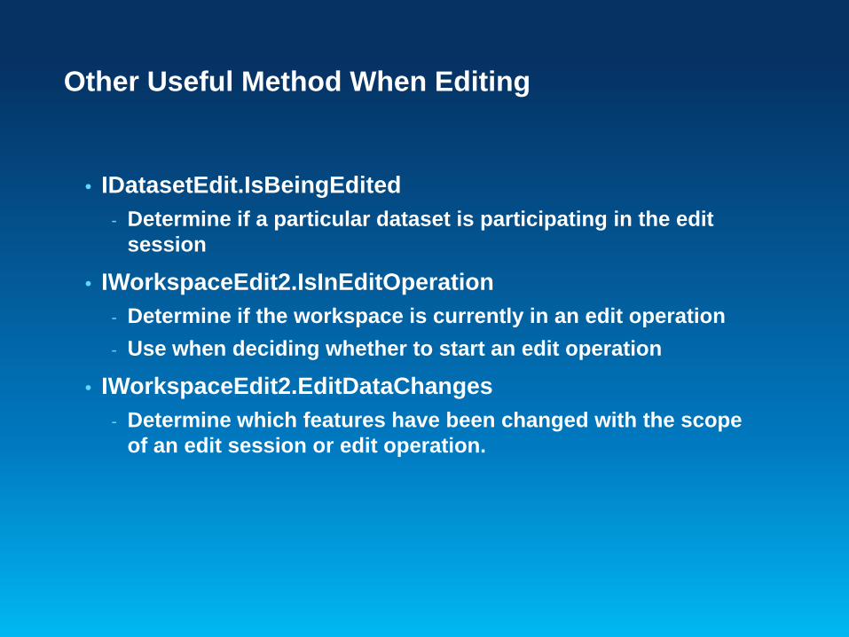
Other Useful Method When Editing
• IDatasetEdit.IsBeingEdited- Determine if a particular dataset is participating in the edit
session
• IWorkspaceEdit2.IsInEditOperation- Determine if the workspace is currently in an edit operation- Use when deciding whether to start an edit operation
• IWorkspaceEdit2.EditDataChanges- Determine which features have been changed with the scope
of an edit session or edit operation.

Editing Demo
• Edit Operations

Cursors
• A geodatabase object used for the iteration of records returned from a query
• 3 Class Cursors- Search (general query cursor)- Update (positioned update cursor)- Insert (bulk inserts)
• A table and a query return a cursor• Used to:
- Iterate over a set of rows in a table- Insert new rows into a table
• A cursor gives you access to one row at a time

Creating a Cursor
HomeValue > 200000
Search
QueryFilter
HomesFeature class
Feature cursor
• QueryFilter contains a SQL-like statement• The cursor contains a subset
– No filter\nothing, all rows returned

IQueryFilter
• IQueryFilterDefinition::PostFixClause- Supports functions such as ORDER BY
IQueryFilter queryFilter = new QueryFilterClass();queryFilter.SubFields = "OBJECTID,FULLNAME,ParcelID";queryFilter.WhereClause = “FULLNAME like ‘D%’";
IQueryFilterDefinition queryFilterDef = (IQueryFilterDefinition)queryFilter;queryFilterDef.PostFixClause = "ORDER BY FULLNAME";
IFeatureCursor featureCursor = featureClass.Search(queryFilter, true);

Creating a Cursor …
• SpatialFilter need a geometry and relationship• Below the geometry is a polygon• Below the spatial relationship is contains
Contains
Crosses
Intersects
Overlaps
Touches
Within

ISpatialFilter
• Used to query spatial aspects of a feature class- Inherits from IQueryFilter
ISpatialFilter spatialFilter = new spatialFilterClass();
spatialFilter.SubFields = “OBJECTID,FULLNAME,ParcelID,SHAPE”;spatialFilter.Geometry = envelope;spatialFilter.SpatialRel = within;spatialFilter.WhereClause = “FULLNAME like ‘D%’”;
IFeatureCursor featureCursor = featureClass.Search(spatialFilter, true);

Types of Class Cursors
• Search cursors- Returns rows specified by a Query or Spatial Filter
• Update cursors- Update and delete rows specified by the filter- Specify the ObjectID field
• Insert cursors- Used for inserting rows into a table
• Accessed by- Corresponding methods on table or feature class

Types of Class Cursors …
• Forward only, do not support- Backing up and retrieving rows already retrieved- Making multiple passes- Resetting
• Solution:- Re-execute the query
• Release Class Cursors with- Marshal.ReleaseComObject- Cleaner.release()

Types of Class Cursors …
• Insert cursors are used to bulk insert rows- Faster for loading simple data than IFeature.Store
- Bypasses events- IObjectClassInfo2 and IWorkspaceEditControl to override
- Not Faster for non-simple data - Behavior, composite relationships, and notification- Need CreateRow and Store methods, so no performance gain
- Use of Buffering is key- Pre-define attribute values- Buffers inserts on client, sends to database on Flush
• Flush – Call or not- Interval flushing: Check for room or handle errors- Careful: Insert cursors flush on destruction
- No chance to detect errors

Types of Class Cursors …
• Scope cursors to edit operations• Cursor is bound to a specific state of the geodatabase• When state of the geodatabase changes cursor is no
longer valid and should not be used- Performing edits on a cursor that is incorrectly scoped can
cause unexpected behavior.

Recycling Method
• Recycling - A recycling cursor is a cursor that does not create a new client
side row object for each row retrieved from the database - Allocate a single row object
- Re-hydrate on each fetch- Performance advantages- Primarily used for reading data
• Non Recycling - A different row object on each fetch- Always has full set of fields, even if IQueryFilter::Subfields
used
pCursor = theMeds.Update(pFilter,false)

Cursor demo
• Cursors examples- Search- Update - Insert

Presentation Outline
• Introduction• Databases and Geodatabases• SQL• ArcObjects• Plug In Data Sources• Python• File Geodatabase API• Runtime• Web Mapping

What are Plug-In Data Sources?
• Integrates a new data format into ArcGIS in a read-only manner
• Provides ability to:- browse, preview, and manage the data in Catalog- select, render, query, label, and join the data in ArcMap.- program with the data source using normal geodatabase
interfaces such as IWorkspace and IFeatureClass.
• Supports simple feature types; tables, feature classes and feature datasets

The Case for a Plug-In Data Source
• Receive a regular supply of text files containing geographic locations
- Data in the files has an unusual/non-standard format
• Don’t want to convert data every time a new file is received to use with ArcGIS
- Need to work with data in its native format within ArcGIS

The Case for a Plug-In Data Source
• Example ASCII text file - Point data
• The first six characters are the x-coordinate
• The next six characters contain the y-coordinate
• The trailing characters contain an attribute value.

Creating a Plug-In Data Source
• To make a plug-in data source, you must implement four required classes:
- plug-in workspace factory helper- plug-in workspace helper- plug-in dataset helper- plug-in cursor helper
• Other optional classes that can also be implemented

Demo
• Creating a Plug-In Data Source

Presentation Outline
• Introduction• Databases and Geodatabases• SQL• ArcObjects• Plug In Data Sources• Python• File Geodatabase API• Runtime• Web Mapping

What is Python?
• Cross-platform, open source programming language• Does not require a compiler• Programs written with Python are called scripts

Why Python?
• Free• Simple and easy to learn• Modular• Easy to maintain• Scalable• Cross platform (Windows and Linux)• Wide-acceptance• Scheduling

Why Python …
• Significantly reduces the amount of time spent on a project.- Quickly execute & re-execute tools or functions- Automate common tasks
• It is designed to be easy to read and learn- “Maintainability” – easy to modify and keep up to date

What is ArcPy?
• A cornerstone for automation in ArcGIS- Data analysis, data conversion, data management, map
automation, geodatabase management
• ArcPy is a native Python site-package- Site package is Python's term for a library that adds additional
functions to Python- Access to 800+ geoprocessing tools- Embedded reference documentation for each function, class
and module- Code completion for ArcGIS components in your favorite
Python editor

Running Python Code
• Through the Python window- An interactive window that lets you enter Python code, execute
it, and view the results in your active map.
• Script tool/Python tool- Create a geoprocessing tool that executes a Python script
• Operating system prompt- Execute a Python script that uses ArcPy routines- Need an ArcGIS application, does not need to be running
• Various Python IDE’s- PyScripter, Wing IDE, PythonWin, PyDev/Eclipse etc.

Demo
• Python demo

Presentation Outline
• Introduction• Databases and Geodatabases• SQL• ArcObjects• Plug In Data Sources• Python• File Geodatabase API• Runtime• Web Editing
File Geodatabase API
• Provide a non-ArcObjects based means by which advanced developers can work with File Geodatabases
• C++ API with coarse grained access to File Geodatabase
• Will not replace other APIs as the recommended approach to interacting with the File Geodatabase

File Geodatabase API…
• Leveraging the work done with simplifying the Geodatabase• Will only support file geodatabases created with 10.0
and newer clients• No support for pre-10.0 file geodatabases
• Target audience• Advanced developers who require access to the File
Geodatabase without an ArcObjects license for purposes of interoperability

Coarse-Grained Tasks possible with API
• Create, Open, Delete file geodatabases
• Read the schema of a geodatabase- All content within a geodatabase can be opened for read
access
• Create schema for objects within the simple feature model:– Tables– Point, Line, Polygon feature classes – Feature datasets– Domains– Subtypes

Coarse-Grained Tasks possible with API…
• Read the contents of datasets in a geodatabase- The majority of dataset content within a geodatabase can be
read- Some exceptions such as network indexes
• Insert, Delete and Edit the contents of simple datasets:– Tables– Point, Line, Polygon, Multipoint, Multipatch feature classes
Coarse-Grained Tasks possible with API…
• Perform attribute and (limited) spatial queries on datasets- Spatial queries will be limited to the envelope-intersects
operator
• Spatial References are limited to pre-defined GCS, PCS and Unknown
- Custom coordinate systems are not supported
• Supports for a subset of the SQL 92 standard- e.g. Select statements, Order By

File Geodatabase API Overview
• Single downloadable ZIP file containing:- C++ library (single dll, lib, .h) built on Windows and Linux platforms
- API documentation (html) and Samples
• Freely available from the Geodatabase Resource Center- Version 1.3 is available
• Moving to GitHub in April

Demo
• File API demo

Presentation Outline
• Introduction• Databases and Geodatabases• SQL• ArcObjects• Plug In Data Sources• Python• File Geodatabase API• Runtime• Web Editing

Lightweight Applications and Runtime SDKsConfigurable applications and native ArcGIS Runtime SDKs
iOS Android
Applications
• ArcGIS
Windows Phone
Windows Mobile
Windows Linux
Runtime SDK
• Objective C
Applications
• ArcGIS
Runtime SDK
• Java
Applications
• ArcGIS
Runtime SDK
• Silverlight
Applications
• ArcGIS
Runtime SDK
• .NET
Applications
• ArcGIS Explorer*
Runtime SDK
• WPF, Java, Qt
Applications
• None
Runtime SDK
• Qt, Java

• Integrated into the ArcGIS Ecosystem• Small Footprint• Fast Display• Easy to Deploy
Introducing the ArcGIS Runtime for DesktopA GIS Runtime for Windows and Linux
Leverages the ArcGIS System

ArcGIS Runtime for Desktop Specifics
• New Architecture - Native 32 and 64 bit code execution- Utilizes hardware (Cores, CPUS,..)- Asynchronous programming pattern
• Simplified Deployment- No install required- Deploy only needed components- Side-by-Side deployment- Independent of other ArcGIS installs
• SDKs- WPF, Java, Qt,- Builds on the ArcGIS APIs

Its Not Just About Writing Code
• ArcGIS Desktop Used to Provision Content• Content is Authored
- Map Packages- Tile Packages- Locator Packages
• Functionality Can Be Authored- Geoprocessing Packages
• Packages can be delivered on Media, or downloaded from online
• ArcGIS Server Can Deliver Content to Clients

Available Functionality
• Fully Supports ArcGIS Cartography Including Representations, Annotation and Labeling
• Geocoding• Geoprocessing Tools, Scripts and Models Supported
- System Tools Available Depend on Level of the Runtime
• Geodatabase Feature Editing- File and Enterprise Geodatabase- Simple Feature Editing- Attributes and Shape
• Feature Services

Desktop Developer
ArcReader
Runtime
ArcGIS Engine
ArcGIS Desktop
ArcGIS Explorer
ArcGIS Mobile Tablet

Demo
• Runtime demo

Presentation Outline
• Introduction• Databases and Geodatabases• ArcObjects• SQL• Python• File Geodatabase API• Runtime• Web Editing

Agenda
• The basics of Web Editing in ArcGIS Server• Web Editing scenarios
- Attachments- Editor tracking- Ownership Based Access Control- Handling complex symbology/geometries- Disable geometry edits- Editing versions- Sophisticated Web Editing

iPhoneHandhelds
And Tablets
Web Browsers
Desktop
FeatureService
Feature Services in ArcGISFrom simple sketching to sophisticated editing through web services

1
What is a Feature Service?
• Added in ArcGIS 10• Designed for web editing
- Push changes into the geodatabase over the internet
- Feature template-based editing
• Also excellent for querying- Fetch geometries and attributes- Client renders features (Thematic mapping,
maptips…)
• Stateless, quick, RESTful serviceGeodatabase
QueryGeometryAttributes
FeatureService
Client rendersfeatures
2
3
How Feature Services work?(Simplified)
4AddDeleteUpdate

The Services Directory view
• of your Feature Service
Your Map Service
It’s Feature Service
Templates

How to create a web editing application?
Prepare your data
and templates
CreateFeatureService
Use\CreateApplication

Feature Service Basics Demo
• Authoring the Map and Editing Templates• Publishing the service
• Using it

Web Editing Scenarios
• Attachments• Editor tracking
• Ownership Based Access Control• Handling complex symbology/geometries
• Disable geometry edits• Editing versions
• Sophisticated Web Editing

Web Editing Scenarios
• Attachments• Editor tracking
• Ownership Based Access Control• Handling complex symbology/geometries
• Disable geometry edits• Editing versions
• Sophisticated Web Editing

Web Editing Scenarios
• Attachments• Editor tracking
• Ownership Based Access Control• Handling complex symbology/geometries
• Disable geometry edits• Editing versions
• Sophisticated Web Editing

Feature Service usage web editing patterns I
• Render features in the client (Feature Layer)• Fetch all at once (Snaphsot mode)• Or as needed (On demand mode)
• Subset of ArcGIS symbology• No more than a few hundred features in display*• Careful with large polys/polylines• Take advantage of maptips (popups)
1
Geodatabase
QueryDeleteAddUpdate
GeometryAttributes
Client rendersfeatures
2
3
Render features client-side* Be smart about using scale dependencies, generalize, filter…
FeatureService
Feature Service to edit and graphics render

Feature Service usage web editing patterns II
• Render features in the server (Map service)• Refresh map after every update• Features being edited displayed in client
• Through FeatureLayer Selection mode
• Full symbology• Many and complex features
1
Geodatabase
Get Featureto be updated
& render
Get Map
FeatureService
Commitchange
2
3
MapService
4Get MapAgain
Render features server-side
Feature Service to edit and map service to render

Web Editing Scenarios
• Attachments• Editor tracking
• Ownership Based Access Control• Handling complex symbology/geometries
• Disable geometry edits• Editing versions
• Sophisticated Web Editing

Web Editing Scenarios
• Attachments• Editor tracking
• Ownership Based Access Control• Handling complex symbology/geometries
• Disable geometry edits• Editing versions
• Sophisticated Web Editing

Web Editing Scenarios
• Attachments• Editor tracking
• Ownership Based Access Control• Handling complex symbology/geometries
• Disable geometry edits• Editing versions
• Sophisticated Web Editing
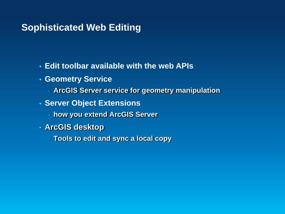
Sophisticated Web Editing
• Edit toolbar available with the web APIs• Geometry Service
- ArcGIS Server service for geometry manipulation
• Server Object Extensions- how you extend ArcGIS Server
• ArcGIS desktop- Tools to edit and sync a local copy

Editing native spatial types in databases
• Feature service against non versioned data• Last-in wins• Changes directly applied on database• Use Spatial Data Server
Web Browser
Geodatabase
Not VersionedData
FeatureService
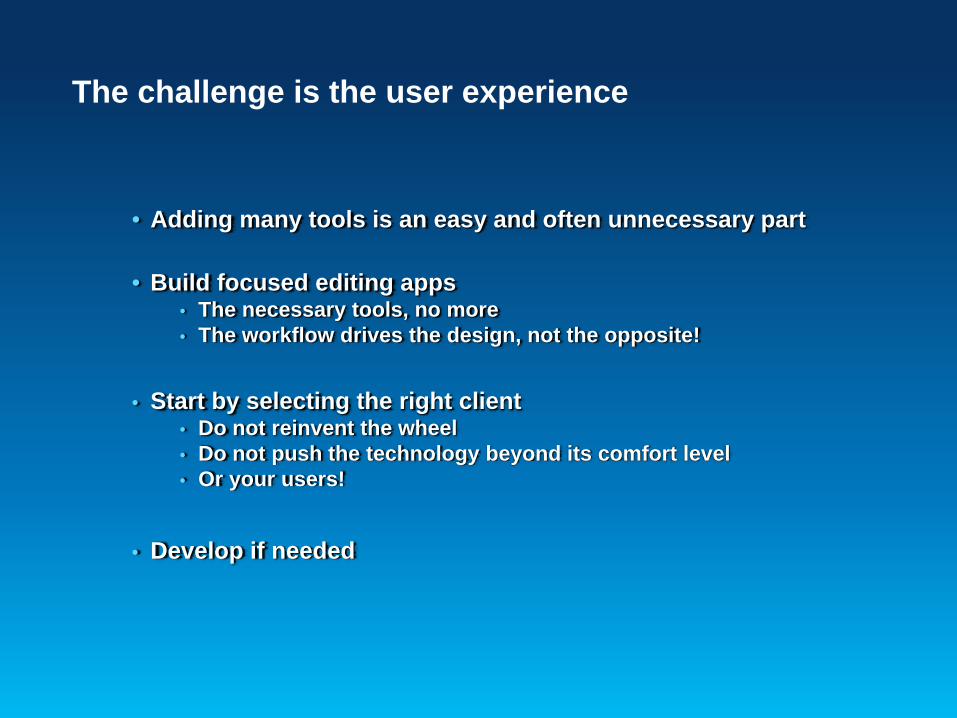
The challenge is the user experience
• Adding many tools is an easy and often unnecessary part
• Build focused editing apps• The necessary tools, no more• The workflow drives the design, not the opposite!
• Start by selecting the right client• Do not reinvent the wheel• Do not push the technology beyond its comfort level• Or your users!
• Develop if needed

Summary
• ArcGIS Server features built-in web editing capabilities• Enabling many exciting applications
- Crowd sourcing, geocollaboration, web editing…• Feature Services• Out of the box editing clients
- ArcGIS.com Viewer- ArcGIS Viewer for Flex
• ArcGIS Web Mapping APIs- FSVersionedEditing app on ArcGIS.com
• Geometry Service and Server Object Extensions

Presentation Outline
• Introduction• Databases and Geodatabases• ArcObjects• SQL• Python• File Geodatabase API• Runtime• Web Editing• Questions and other information

Additional Resources
• Meet the Teams- Tuesday at 6:30 – 8:30 pm
• ESRI Showcase- Monday 11:00am – 7:30pm- Tuesday 12:30pm – 5:30pm- Wednesday 10:00am – 6:00pm
• ESRI Resource Centers- PPTs, code and video

Final Notes
• Please fill out session surveys- Helps us improve the session
- Offering ID : 182
• All sessions are recorded and will be available on the Resource Center
- Slides and code samples will also be available
• Still have questions?- Desktop Island in the Showcase