digital flood maps: from q3 flood data to dfirms - fema.gov · pdf filedigital flood maps from...
TRANSCRIPT
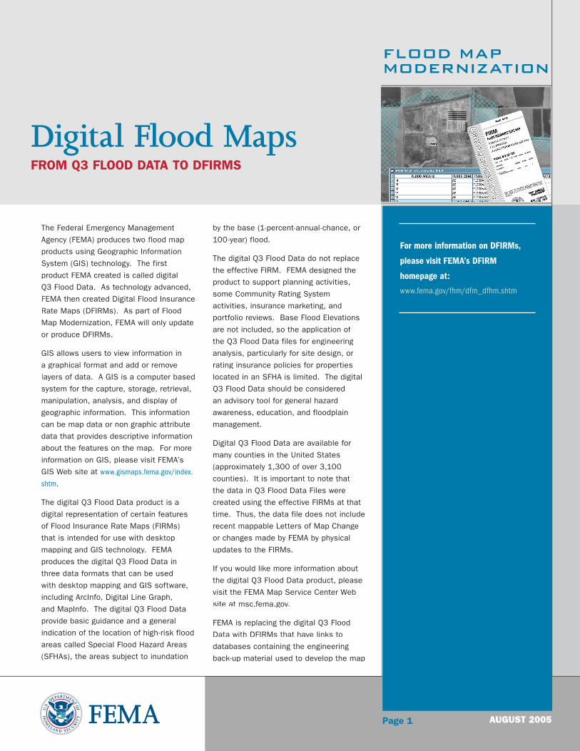
FLOOD MAPMODERNIZATION
Page 1
The Federal Emergency Management
Agency (FEMA) produces two flood map
products using Geographic Information
System (GIS) technology. The first
product FEMA created is called digital
Q3 Flood Data. As technology advanced,
FEMA then created Digital Flood Insurance
Rate Maps (DFIRMs). As part of Flood
Map Modernization, FEMA will only update
or produce DFIRMs.
GIS allows users to view information in
a graphical format and add or remove
layers of data. A GIS is a computer based
system for the capture, storage, retrieval,
manipulation, analysis, and display of
geographic information. This information
can be map data or non graphic attribute
data that provides descriptive information
about the features on the map. For more
information on GIS, please visit FEMA’s
GIS Web site at www.gismaps.fema.gov/index.
shtm.
The digital Q3 Flood Data product is a
digital representation of certain features
of Flood Insurance Rate Maps (FIRMs)
that is intended for use with desktop
mapping and GIS technology. FEMA
produces the digital Q3 Flood Data in
three data formats that can be used
with desktop mapping and GIS software,
including ArcInfo, Digital Line Graph,
and MapInfo. The digital Q3 Flood Data
provide basic guidance and a general
indication of the location of high-risk flood
areas called Special Flood Hazard Areas
(SFHAs), the areas subject to inundation
by the base (1-percent-annual-chance, or
100-year) flood.
The digital Q3 Flood Data do not replace
the effective FIRM. FEMA designed the
product to support planning activities,
some Community Rating System
activities, insurance marketing, and
portfolio reviews. Base Flood Elevations
are not included, so the application of
the Q3 Flood Data files for engineering
analysis, particularly for site design, or
rating insurance policies for properties
located in an SFHA is limited. The digital
Q3 Flood Data should be considered
an advisory tool for general hazard
awareness, education, and floodplain
management.
Digital Q3 Flood Data are available for
many counties in the United States
(approximately 1,300 of over 3,100
counties). It is important to note that
the data in Q3 Flood Data Files were
created using the effective FIRMs at that
time. Thus, the data file does not include
recent mappable Letters of Map Change
or changes made by FEMA by physical
updates to the FIRMs.
If you would like more information about
the digital Q3 Flood Data product, please
visit the FEMA Map Service Center Web
site at msc.fema.gov.
FEMA is replacing the digital Q3 Flood
Data with DFIRMs that have links to
databases containing the engineering
back-up material used to develop the map
Digital Flood MapsFROM Q3 FLOOD DATA TO DFIRMS
AUGUST 2005
For more information on DFIRMs,
please visit FEMA’s DFIRM
homepage at:
www.fema.gov/fhm/dfm_dfhm.shtm

FLOOD MAPMODERNIZATION
Page 2AUGUST 2005
(e.g., hydrologic and hydraulic models,
flood profiles, floodway data table, Digital
Elevation Models, and structure specific
data, such as digital elevation certificates
and digital photographs of bridges and
culverts). Unlike the Q3 data, DFIRMs
will be of the same spatial precision and
accuracy of the paper maps.
DFIRMs are comprised of all digital data
required to create the hardcopy FIRM.
This includes base map information,
graphics, text, shading, and other
geographic data required to create the
final hardcopy FIRM product. A goal of
Flood Map Modernization is to create
DFIRMs for all communities participating
in the National Flood Insurance Program.
These maps will feed a a nationwide,
cutting edge GIS infrastructure called
Mapping Information Platform (MIP) that
will allow management of a dynamic array
of data, applications, and processes.
Users will access this system through
the Internet. The MIP, located online at
hazards.fema.gov, will help local officials
make critical decisions regarding asset
management, economic development,
planning, floodplain management, and
zoning and building code enforcement.
Digital Flood MapsFROM Q3 FLOOD DATA TO DFIRMS
THE FUTURE OF FLOOD MAPS