The National Atlas of the United States of AmericaU.S. Department of the InteriorU.S. Geological Survey
LOUISIANAWhere We Arenationalatlas.gov TM
RO
pagegen_la3.pdf INTERIOR-GEOLOGICAL SURVEY, RESTON, VIRGINIA-2004
MILES
0 20 30 5010 40 60
Albers equal area projection
River
Red
Sabi
neToledo Bend Reservoir
Mis
siss
ippi
LakePontchartrain
CalcasieuLake Grand
Lake
White Lake
Riv
er
Riv
er
BayouD'ArbonneLake
CatahoulaLake
LakeMaurepas
Pearl
River
Ouachita River
Abbeville
Bastrop
Bogalusa
Bunkie
Crowley
De Ridder
Eunice
Ferriday
Franklin
Hammond
Jennings
Kinder
Leesville
Mansfield
Minden
Morgan City
Natchitoches
Oakdale
Opelousas
Ruston
Sulphur
Tallulah
Thibodaux
Tullos
Ville Platte
Winnfield
Springhill
Winnsboro
St Francisville
Alexandria
Bossier City
Houma
Kenner
Lake Charles
Monroe
New Iberia
Slidell
Chalmette
Lafayette
New Orleans
Shreveport
Metairie
Baton Rouge
55
49
10
12
20
10
Breto
n So
und
Atchafalaya
BayVerm
ilion B
ay
Barataria Bay
G u l f o f M e x i c o
Driskill Mtn535
Marsh I
MISSISSIPPI
TEXAS
ARKANSASPOPULATED PLACES
TRANSPORTATION
PHYSICAL FEATURES
100,000 – 499,999
25,000 – 99,999
24,999 and less
State capital
Interstate; limited access highway
Other principal highway
Railroad
535
StreamsLakes
Highest elevation in state (feet)
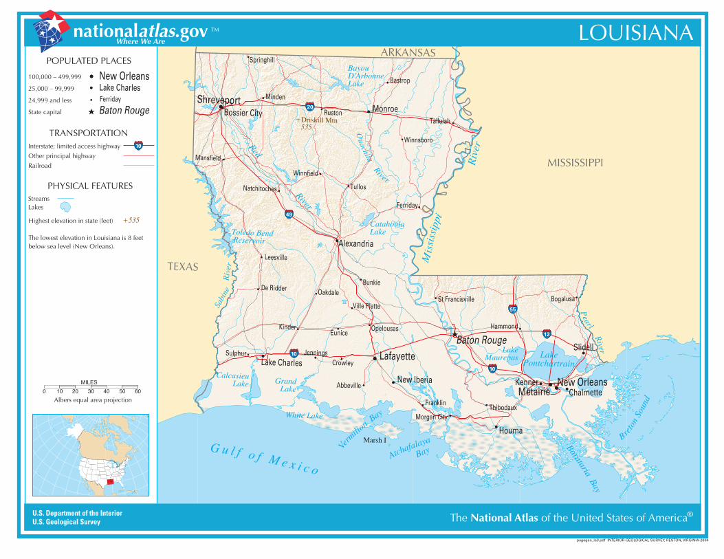
The lowest elevation in Louisiana is 8 feetbelow sea level (New Orleans).
New Orleans
Baton Rouge
Lake CharlesFerriday
10


