drought contingency planning and colorado …...drought contingency planning and colorado river risk...
TRANSCRIPT

DROUGHT CONTINGENCY PLANNING AND
COLORADO RIVER RISK STUDY
AN OVERVIEW AND STATUS REPORT FOR THE
COLORADO RIVER DISTRICT BOARD OF DIRECTORS
OCTOBER 17, 2017

OUTLINE
Drought Contingency Planning (DCP)
1. Background
2. Contingency Planning Process 2013-Present
Colorado River Risk Study
1. Background
2. Link to DCP
3. Work to Date
What’s Next?

Elevation 3525: Threshold for Lower Operating Tier; Reclamation is concerned about Hydropower efficiency and hydraulics/cavitation below this level
Elevation 3490: Ability to make releases per 2007 Interim Guidelines (and hence Compact Compliance) is jeopardized
What if drought periods of past 25 years repeated?
- Current conditions at Powell: about half full summer 2016
- Three recent droughts superimposed on current conditions (drawdowns based on historical record)
- No contingency planning actions in place; no water banking in place

BACKGROUND AND CATALYST FOR DCP AND RISK STUDY
• July 2013: Secretary Jewell asks basin states “if 2000 – 2013” drought conditions continue,
are you prepared: ANSWER – NO!
• Fall 2013: SNWA and Reclamation analysis for Lower Basin States illustrate possibility of
critical storage levels in Mead and Powell and potential for a compact “hole”.
• Upper Basin and Lower Basin begin coordinated, but independent development of contingency
plans.
• Dec 2014 Joint West Slope BRT Meeting, Request was made for additional studies.
• Colorado’s Water Plan: Take actions that will minimize risk of compact curtailment actions (pt. 4
of Seven Point Framework)

WHAT ARE “CRITICAL ELEVATIONS” AT POWELL?
• If Lake Powell drops below el. 3525’ on January 1, 2007 Guideline operations are in the
Lower Balancing Tier – This can lead to an increase in releases
• Minimum elevation for turbine intakes is el. 3490’, but Reclamation will be concerned about air
entrainment and generation efficiency at ~el. 3525’
7.5 MAF

UPPER BASIN DROUGHT CONTINGENCY PLANNING
Upper Basin Objective:
Identify actions that can reduce the risk of either losing power production at Powell or lose
ability to meet our compact obligations
Three Component Solution:
1. Coordinated Drought Operations of initial CRSP Reservoirs (Powell, Flaming Gorge, Aspinall
, Navajo)
• First line of defense against critical Powell elevations
2. Demand Management
• System Conservation Pilot Project
• Water Bank Work Group
3. Cloud Seeding

UPPER BASIN DCP DROUGHT OPERATIONS DETAILS
• Initial Storage Units of CRSP (Powell, Flaming Gorge, Aspinall, Navajo)
• If August 24-month forecast indicates January 1 Powell elevation will be below the trigger elevation (3525’), implement Drought Operations
• 1st option: modify timing of Powell Releases
• 2nd option: Utilize Flaming Gorge, Aspinall, Navajo
• Move water from those CRSP units to Powell
• Implement at all three upper CRSP reservoirs simultaneously
• Does not mean all three can necessarily contribute.
• Constraints of Contracted water, Records of Decision, Hydrology
• Operations covered by current Records of Decision (NO reconsultation)
• Formal agreement between Reclamation and States is in the works.

LOWER BASIN DCP (AND MEXICO)
y Lower Basin reductions based on Mead elevations, and are in addition to 2007 Interim Guidelines’ Shortage Criteria
y Lower Basin conservation begins at elevation 1090’ (200 kaf), which is higher than the current IG shortage criteria threshold
y Could result in as much as 1.2 maf of Lower Basin conservation if Mead is forecast to drop below 1020’
y Agreement valid through 2026 (if approved)
y Minute 323 – U.S. / Mexico Treaty
y MX participation in shortage sharing pro-rata with 07 Guidelines
y MX will participate in DCP if and when LB States approve and implement

LOWER BASIN DCP CONSERVATION SCHEDULE

Preliminary Results – Not for Distribution
DCP OUTCOMES
3525
3490
Powell and Mead are operationally coupled through the ‘07 Guidelines
Neither Basin can completely mitigate its own risk: The best solutions require participation by both
Upper and Lower Basins.

COLORADO RIVER RISK STUDY
• Originated from joint West Slope BRT discussions and reflection on DCP process
• Funding via Colorado River District, Southwestern Water, W.S. BRTs (CWCB)
• Colorado’s Water Plan: Take actions that will minimize risk of compact curtailment actions (pt. 4 of
Seven Point Framework)
• Phase I completed Fall 2016
• Phase II ongoing (completion est. Spring 2018)

WEST SLOPE BRT STUDY – PHASE I
• Questions to answer in Phase I:
• What are magnitude and duration of Powell shortages below elevation 3525’?
• How much of the above shortages can be met by contributions from Drought Operations of CRSP
reservoirs? (A: up to about 2 MAF)
• How much consumptive use reduction (“demand management”) would be needed by Upper Basin states -
AFTER use of stored CRSP water - in order to maintain Powell pool elevations?
• What are possible implications to Colorado River water users? What is range of volumes that Colorado
might need to conserve? (Colorado’s apportionment under the 1948 Upper Basin Compact is 51.75%,
but we’re currently using about 56-58% of UB total)
• Use CRSS Model to address these “What If” questions…

EXAMPLE : HYDROLOGIC SENSITIVITY

EXAMPLE : DEMAND SENSITIVITY

Preliminary Results – Not for Distribution
CRSP DROUGHT OPERATIONS AND LOWER BASIN CONSERVATION REDUCES THE RISK, BUT DOES NOT ELIMINATE IT

WHAT WOULD IT TAKE TO COMPLETELY ELIMINATE RISK?
Preliminary Results – Not for Distribution

WEST SLOPE BRT STUDY – PHASE II
Phase II Scope of Work:
• Task 1: CRSS “Infilling” - additional model runs and completion of CRSS modeling report
• Water Banking
• Paleo Hydrology
• Sensitivity Analysis (Storage Conditions, Demands)
• Task 2: StateMod investigations
• Investigate use of StateMod for addressing water use, storage, and demand management questions
• Look at coupling of StateMod / CRSS and
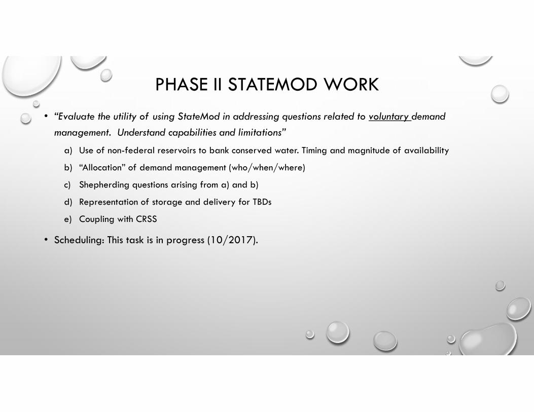
PHASE II STATEMOD WORK
• “Evaluate the utility of using StateMod in addressing questions related to voluntary demand management. Understand capabilities and limitations”
a) Use of non-federal reservoirs to bank conserved water. Timing and magnitude of availability
b) “Allocation” of demand management (who/when/where)
c) Shepherding questions arising from a) and b)
d) Representation of storage and delivery for TBDs
e) Coupling with CRSS
• Scheduling: This task is in progress (10/2017).

STATEMOD EXAMPLE
• Targeted reductions in Consumptive Use
• How much yield at State Line?
Target CU Outflow Efficiency Target CU Outflow Efficiency
Yampa 9,434 8,774 93% 28,322 27,189 96%
White 2,832 2,917 103% 8,514 8,940 105%
Upper Colorado 49,852 42,873 86% 150,226 133,701 89%
Gunnison 26,450 20,631 78% 79,328 64,256 81%
San Juan & Dolores 22,271 14,476 65% 66,823 49,449 74%
5% 15%Demand Management Yield by Basin
Preliminary Results – Not for Distribution

Flaming Gorge
Lake Powell
Navajo
Aspinall
1.0 MAF Water Bank Reservoir
• Conserved CU is stored in the Bank
• Banked water does not become system water unless released from the Bank. (i.e., not subject to equalization)
• Water Bank releases water only to support Lake Powell elevation, after Drought Operations of upstream CRSP Reservoirs.
• We are looking at Colorado-specific banking options within StateMod model as part of Phase II of the Risk Study
WATER BANKING CONCEPT

Preliminary results, not for distribution

WATER BANK OUTCOMES
Preliminary results, not for distribution
Effectiveness of water bank?
• Needs to be an add-on to Drought Contingency Plan
• Does not always keep Powell above 3525, but..
• Can increase minimum Powell elevation by ~15-20 ft. (e.g. 3481.2 to 3497.6 in
Scenario 6 above)
• UB States need to control “if and when” of banked water releases

THE BIG PICTURE
• Hydrology, Demands and Future Development levels matter, the higher the consumptive use in the UB
the higher the risk to existing users.
• The most successful DCP requires joint participation by both Upper and Lower Basins. Additional
measures in the UB may be necessary to eliminate risk.
• Contingency Planning is essential; CRSP reservoir drought operations reduces the risk, but in more
severe droughts (e.g., 1988-1993 & 2001-2005), demand management would be necessary.
• Some of the volumes we are seeing in the model are very large and may not be feasible, need to
consider the “trade-offs” and alternative strategies
• Demand Management combined with a Water Bank:
• Could limit the Annual impact to CU by spreading Conservation over many years
• Would provide greater control over conserved water (a “must have” condition)

END
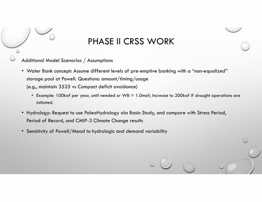
PHASE II CRSS WORK
Additional Model Scenarios / Assumptions
• Water Bank concept: Assume different levels of pre-emptive banking with a “non-equalized”
storage pool at Powell. Questions: amount/timing/usage
(e.g., maintain 3525 vs Compact deficit avoidance)
• Example: 100kaf per year, until needed or WB = 1.0maf; Increase to 200kaf if drought operations are
initiated.
• Hydrology: Request to use PaleoHydrology ala Basin Study, and compare with Stress Period,
Period of Record, and CMIP-3 Climate Change results
• Sensitivity of Powell/Mead to hydrologic and demand variability

PHASE II CRSS WORK (CONT)
Additional Model Scenarios / Assumptions
• Continue evaluating risk sensitivity to demands. Scenarios A, 90%D1, Other ???
• Sensitivity of risk time horizon to initial conditions (e.g., Powell projection for January 2018 is ~35
ft higher than initial conditions for Phase I Risk Study runs)
• Interim Guidelines vs 602a beyond 2026?
• Drought Contingency Plan Changes?
Scheduling: Scenario definition and model setup is happening now, will continue through summer.