fema floodway and 100-year floodplain: impacts to new building construction or renovation
TRANSCRIPT

Managing Development in the Flood Plain under
the National Flood Insurance Program
(NFIP)
American Institute of ArchitectsApril 5, 2017

NFIP• Federal Program – 1968
• Administered Locally – 2450 in PA
• Each state has a coordinator – PA Dept. of Community & Economic Development

Three Legged Stool
• Maps – Identify Risk
• Ordinances – Mitigate Risk
• Insurance – Insure Against the Risk

MAPS

MAP SERVICE CENTER• FEMA Site – www.msc.fema.gov
• Official site for flood plain determinations
• Search by map panel, municipality or address
• Effective, Historic or Preliminary Products

Flood Zones on the FIRMsFloodway Zone X
Shaded Zone X
Zone AE Zone A

Accessing FIRM and FIS Report Data Map Service Center (MSC) – www.msc.fema.gov
• PDF/hard copy format
• NFHL Data download

The National Flood Hazard Layer (NFHL)• FEMA’s nationwide
geospatial database of all digital effective FIRM data• Integrates FIRM data
including LOMCs
• Available in GIS format
• FIRM and FIS are still the official source of data

ORDINANCES

STATE MODEL• Minimum Regulations
• Suggested Provisions
• Municipalities can and are encouraged to be more restrictive
• www.dced.pa.gov
ADIMINISTRATION• Permits are Required - Development
• All Necessary Permits – Coordination
• Designation of Flood Plain Administrator
• Elevation Data
ESSENTIAL PARTS• Permits Are Required for all
development
• The Floodplain consists of two very different areas– Floodway– Flood fringe
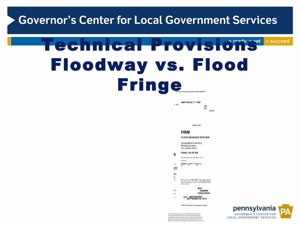
Technical Provisions Floodway vs. Flood
Fringe
PITTSBURGH, CITY OFRESERVE, TOWNSHIPOF
420068
S
rrmv
mpunTrTm
iSil
PZtl
"ITTTTT
loiidi I-IOOU inyurdiicy proyrdin di i-yuu-tuy-bt^u.
MAP SCALE 1" = 500'0 500
1000FEET
METER?
PANEL 0353H
FIRMFLOOD INSURANCE RATE MAP
ALLEGHENY COUNTY,PENNSYLVANIA(ALL JURISDICTIONS)
PANEL 353 OF 558
(SEE MAP INDEX FOR FIRM PANEL LAYOUT)
CONTAINS:
COMMUNITY NUMBER PANEL SUFFIX420063 0353 H
Notice to User: The Map Number shown below should beused when placing map orders; the Community Numbershown above should be used on insurance applications forthesubject community.
MAPNUMBER
42003C0353H
93355=^ MAP REVISED" SEPTEMBER 26, 2014
Federal Emergency Management Agency
This is an official copy of a portion of the above referenced flood map. Itwas extracted using F-MIT On-Line. This map does not reflect changesor amendments which may have been made subsequent to the date on thetitle block. Forthe latest product information about National Flood Insurance
Program flood maps check the FEMA Flood Map Store at www.msc.fema.gov
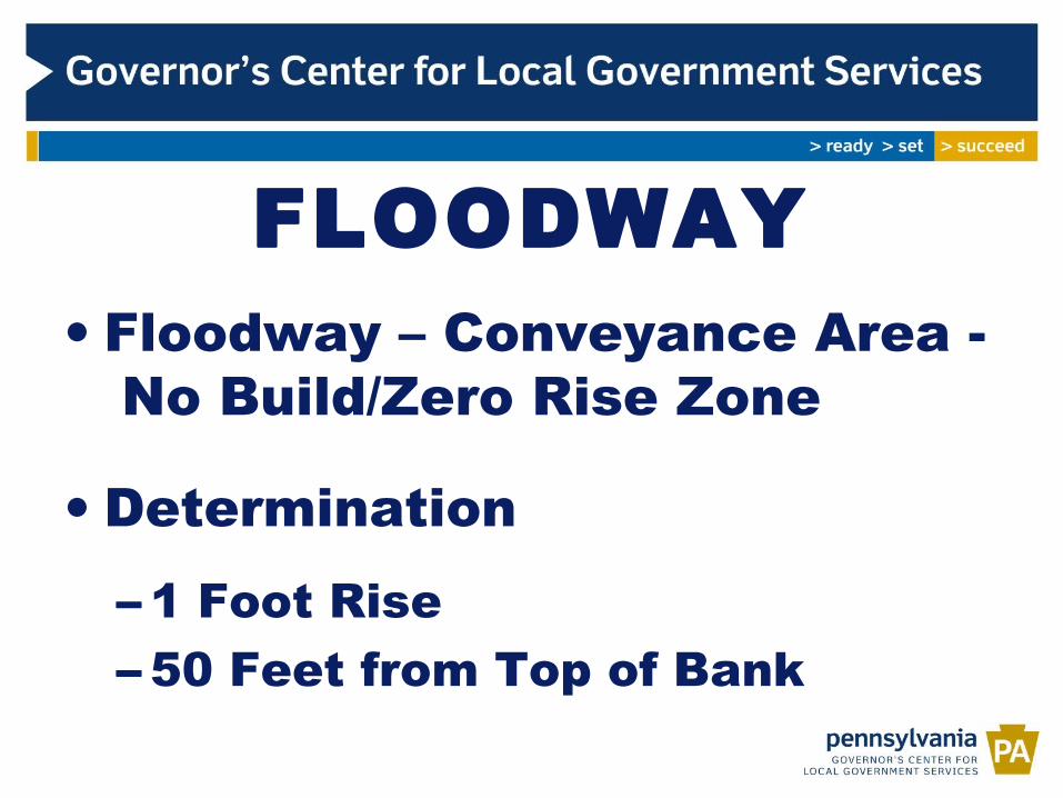
FLOODWAY• Floodway – Conveyance Area -
No Build/Zero Rise Zone
• Determination– 1 Foot Rise– 50 Feet from Top of Bank

FLOOD FRINGE• Flood Fringe – Storage Area
– In accordance with Underlying Zone– New Construction, Substantial Damage/Improvement– Elevated to Base Flood Elevation – Residential –
Lowest Floor vs. BFE, Design & Construction Standards
– Elevated/Dry Flood Proofed – Non-residential
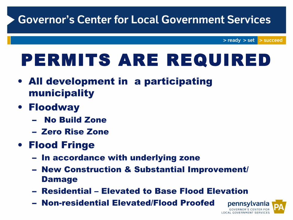
PERMITS ARE REQUIRED• All development in a participating
municipality• Floodway
– No Build Zone– Zero Rise Zone
• Flood Fringe– In accordance with underlying zone– New Construction & Substantial Improvement/
Damage – Residential – Elevated to Base Flood Elevation– Non-residential Elevated/Flood Proofed

Application ReviewWho are the people typically responsible for reviewing permits?
• Floodplain Administrator
• Building Code Officer
• Zoning Officer
• Municipal Engineer
• Third-party permitting/inspection company
Coordination with other reviewers:
• Is one person responsible for all aspects of floodplain development?
• If not, are all parties aware of the floodplain requirements?
• How is the permit application routed and either approved or denied?

• Vents are Maximum 12” above grade
• When in the inspection process could this have been corrected?
Foundation inspection
• Air vents, not flood openings

Exercise: Inspections Review Most significant issues nationwide:
•Insufficient venting– Insurance rating heavily impacted
•Equipment not elevated – Expensive to replace
•Propane tanks not secured– Become explosive projectiles
AIR Photo Library

LOWEST FLOOR
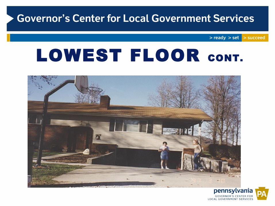
LOWEST FLOOR CONT.
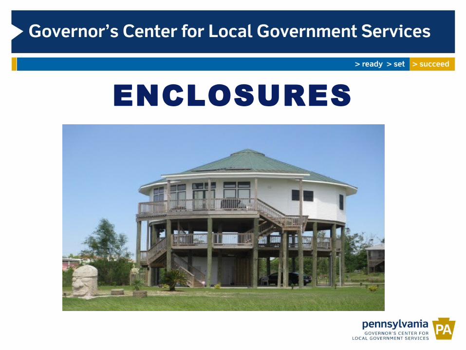
ENCLOSURES

FLOOD PROOFING
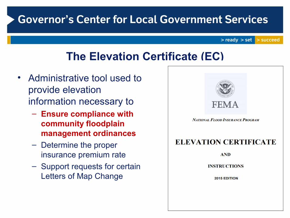
The Elevation Certificate (EC)
• Administrative tool used to provide elevation information necessary to– Ensure compliance with
community floodplain management ordinances
– Determine the proper insurance premium rate
– Support requests for certain Letters of Map Change

Reviewing an Elevation Certificate
• Floodplain Administrators should review for accuracy
• Incomplete form received? Send it back for revision
• Considerations for EC Review
– Lowest floor in comparison to BFE– Lowest floor in comparison to LAG and HAG– Building diagram– Mechanicals elevations– Openings requirement (engineered require certification)
A surveyor’s mistake can lead to a very expensive insurance rate, and a less safe and non-compliant structure.

Issuance of Variances• Granting relief from
ordinance requirements• Establish a process and
an entity for applicants to request variances
• Conditions of the property NOT the person
• Notice of increase to risk and insurance premiums
• Patterns of variances may result in sanctions
Galveston, TX (FEMA photo library)
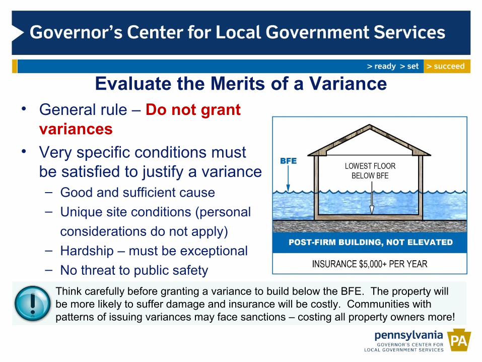
Evaluate the Merits of a Variance• General rule – Do not grant
variances
• Very specific conditions must be satisfied to justify a variance– Good and sufficient cause– Unique site conditions (personal
considerations do not apply)– Hardship – must be exceptional– No threat to public safety– Minimum necessary to afford reliefThink carefully before granting a variance to build below the BFE. The property will
be more likely to suffer damage and insurance will be costly. Communities with patterns of issuing variances may face sanctions – costing all property owners more!


906.02-FP-O Flood Plain Overlay District –
CITY OF PITTSBURGH

30
31

ALL Development Requires a Permit
Definition of development:
means any man-made change to improved or unimproved real estate, including but not limited to the construction, reconstruction, renovation, repair, expansion, or alteration of buildings or other structures; the placement of manufactured homes; streets, and other paving; utilities; filling, grading and excavation; mining; dredging; drilling operations; storage of equipment or materials; and the subdivision of land.
ALL development in the SFHA requires a permit

33
New Development/Substantial Improvement
New Development and Substantial Improvement in the Flood Plain: Zones A and AE (906.02.F.2)
Residential buildings: lowest floor, including basement, elevated to or above RFE (18”)
Non-residential buildings: elevated or floodproofed
New Development and Substantial Improvement in the Flood Way (906.02.E.2)
No increase in BFE for development within floodway
Substantial Improvement = reconstruction, rehab or renovation that equals or exceeds 50 percent of the market value
Existing Structures (906.02.H)

New Development/Substantial Improvement
New Development and Substantial Improvement in the Flood Plain: Zones A and AE (906.02.F.2)
Residential buildings: lowest floor, including basement, elevated to or above RFE
Non-residential buildings: elevated or floodproofed
New Development and Substantial Improvement in the Flood Way (906.02.E.2)
No increase in BFE for development within floodway
Substantial Improvement = reconstruction, rehab or renovation that equals or exceeds 50 percent of the market value
Existing Structures (906.02.H)

Historic Structures (906.02.F.2(d))
Structure that is designated historic with the federal, state or local government, including those with a preliminary determination of contributing to historical significance of a district.
Floodproofing not required if:
Would cause structure to be removed from National Register or State Inventory of Historic Places.
Must provide documentation from the Secretary of the Interior or the State Historic Preservation Officer.
Exemption from code requirements would be minimum necessary to preserve historic character and design.
Historic Structures (906.02.F.2(d))

Accessory Structures (906.02.F.2(e))
Accessory Structures = structures not designed for human habitation but for storage or parking related to the primary use. Floor area not to exceed 200 square feet.
Structure need not be floodproofed or elevated, as long as structure designed to meet other requirements of this section:
No sanitary facilities or fixed utility equipment such as furnaces.
Must be anchored and designed to allow for the entry and exit of floodwater to equalize hydrostatic forces.
Powerlines, wiring and outlets must be elevated.
Accessory Structures (906.02.F.2(e))
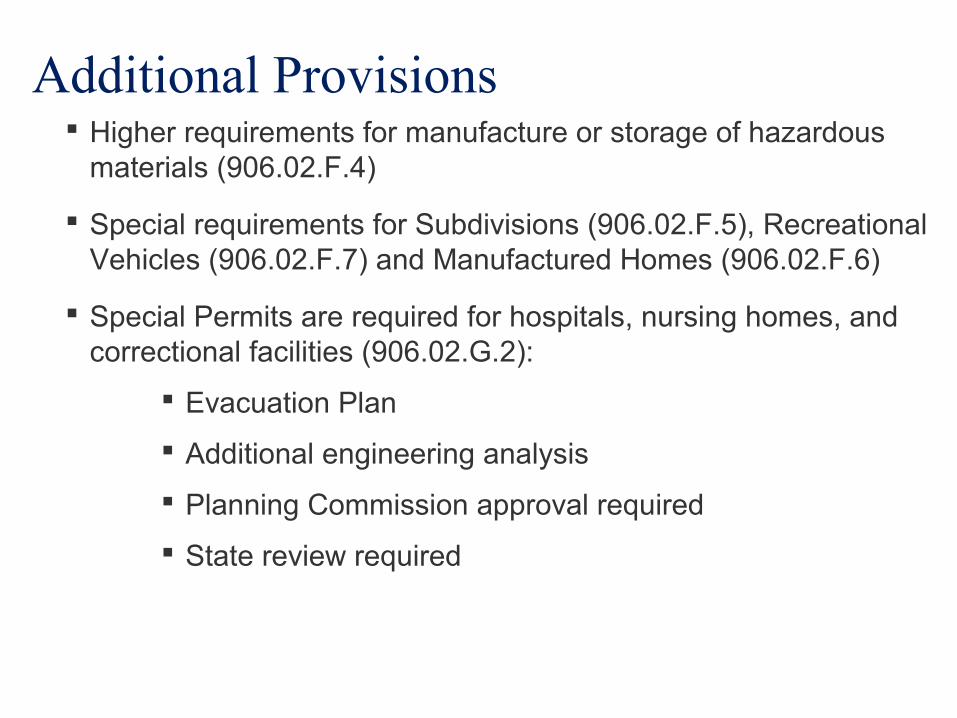
Additional Provisions Higher requirements for manufacture or storage of hazardous
materials (906.02.F.4)
Special requirements for Subdivisions (906.02.F.5), Recreational Vehicles (906.02.F.7) and Manufactured Homes (906.02.F.6)
Special Permits are required for hospitals, nursing homes, and correctional facilities (906.02.G.2):
Evacuation Plan
Additional engineering analysis
Planning Commission approval required
State review required
Additional Provisions

Additional Provisions Visit our website http://pittsburghpa.gov/dcp/flood
How to get started?

Fill out our editable application:
http://apps.pittsburghpa.gov/dcp/Flood_Plain_Application.pdf

Attach:
1. Allegheny County Tax Assessment – Market Value
2. Professional Cost Estimate or Signed Contract
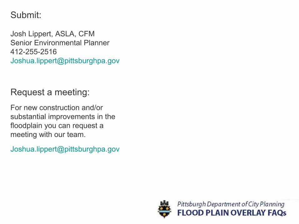
Submit:
Josh Lippert, ASLA, CFMSenior Environmental [email protected]
Request a meeting:
For new construction and/or substantial improvements in the floodplain you can request a meeting with our team.