gis based asset management gis day 2014...
TRANSCRIPT
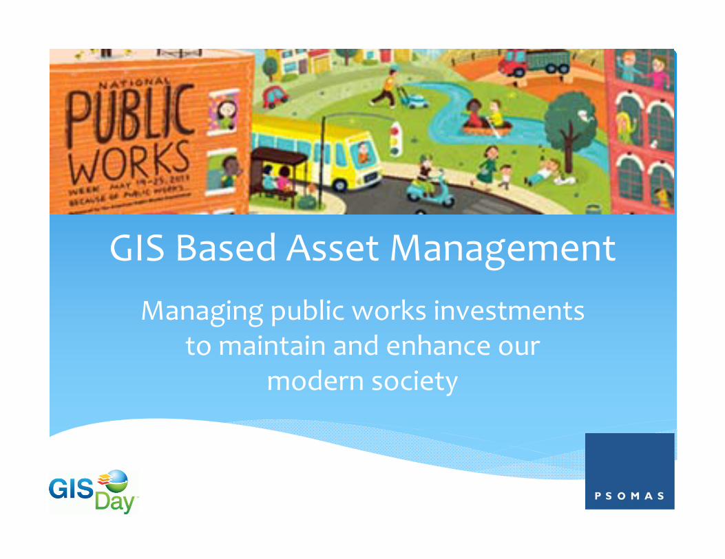
GIS Based Asset ManagementManaging public works investments
to maintain and enhance our modern society
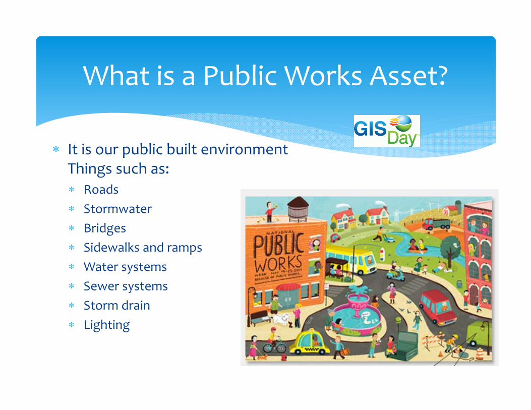
What is a Public Works Asset?
It is our public built environmentThings such as: Roads Stormwater Bridges Sidewalks and ramps Water systems Sewer systems Storm drain Lighting

“Asset Management involves the balancing of costs, opportunities and risks against the desired performance of assets to achieve the organizational objectives.”
– The Institute of Asset Management
What is Asset Management
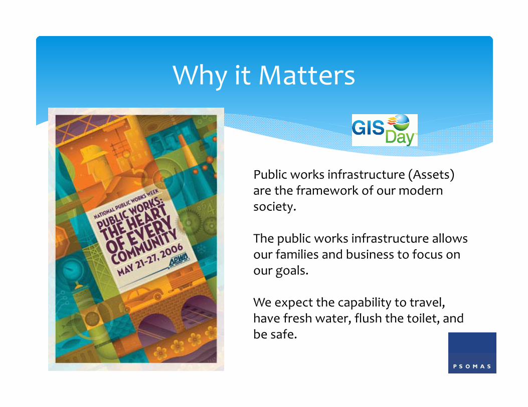
Why it Matters
Public works infrastructure (Assets) are the framework of our modern society.
The public works infrastructure allows our families and business to focus on our goals.
We expect the capability to travel, have fresh water, flush the toilet, and be safe.
US Infrastructure Report Card
Capital investment needs for the nation’s wastewater and stormwater systems are estimated to total $298 billion over the next twenty years.
Fixing and expanding the pipes will address sanitary sewer overflows, combined sewer overflows, and other pipe-related issues.
Since 2007, the federal government has required cities to invest more than $15 billion in new pipes, plants, and equipment to eliminate combined sewer overflows.
http://www.infrastructurereportcard.org/wastewater/
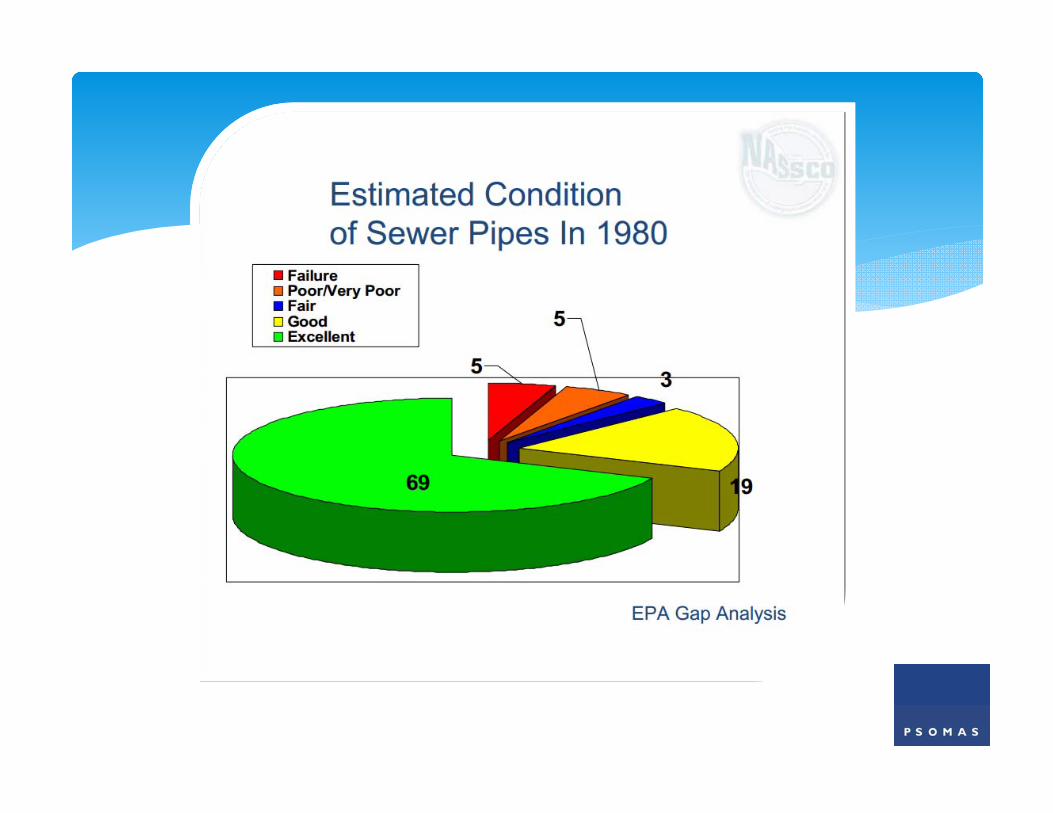
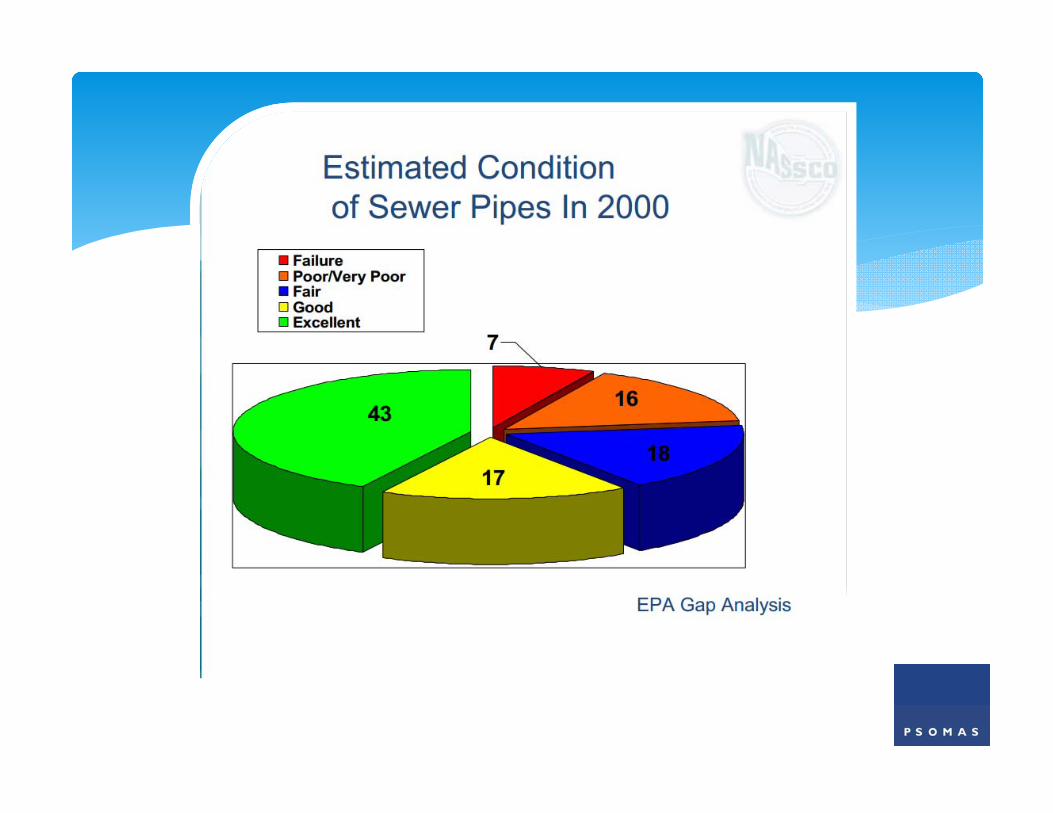
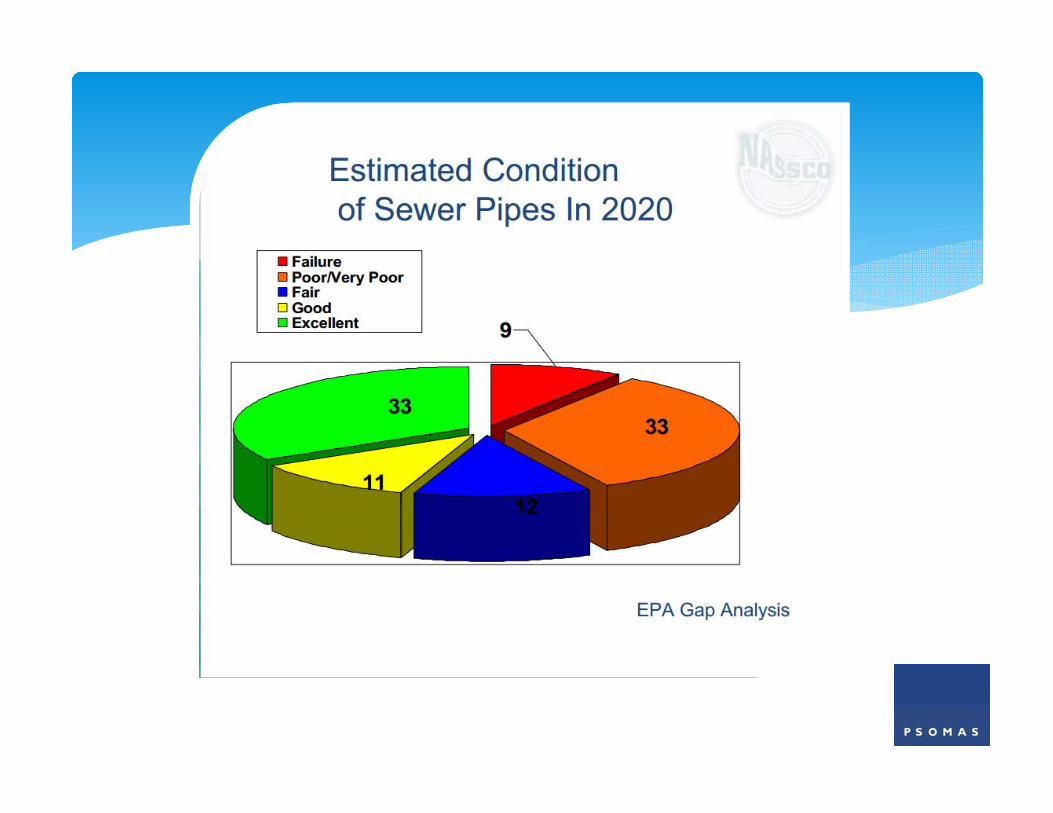
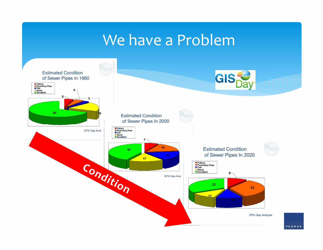
We have a Problem
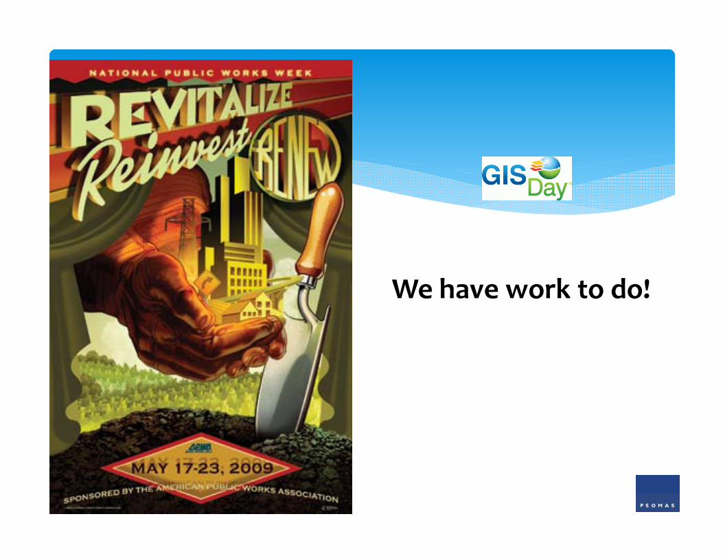
We have work to do!
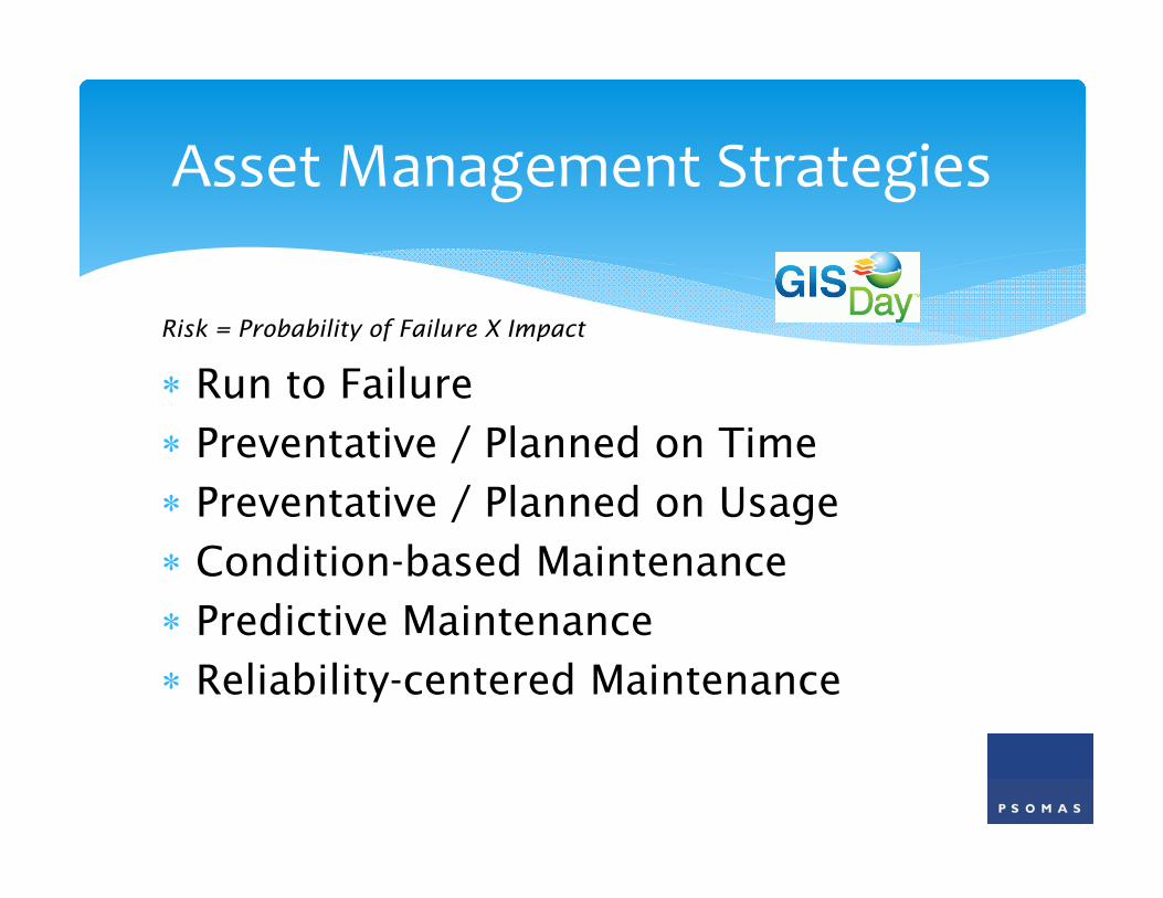
Run to Failure Preventative / Planned on Time Preventative / Planned on Usage Condition-based Maintenance Predictive Maintenance Reliability-centered Maintenance
Asset Management Strategies
Risk = Probability of Failure X Impact
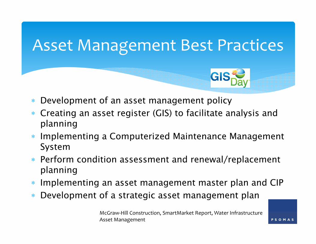
Development of an asset management policy Creating an asset register (GIS) to facilitate analysis and
planning Implementing a Computerized Maintenance Management
System Perform condition assessment and renewal/replacement
planning Implementing an asset management master plan and CIP Development of a strategic asset management plan
Asset Management Best Practices
McGraw‐Hill Construction, SmartMarket Report, Water Infrastructure Asset Management
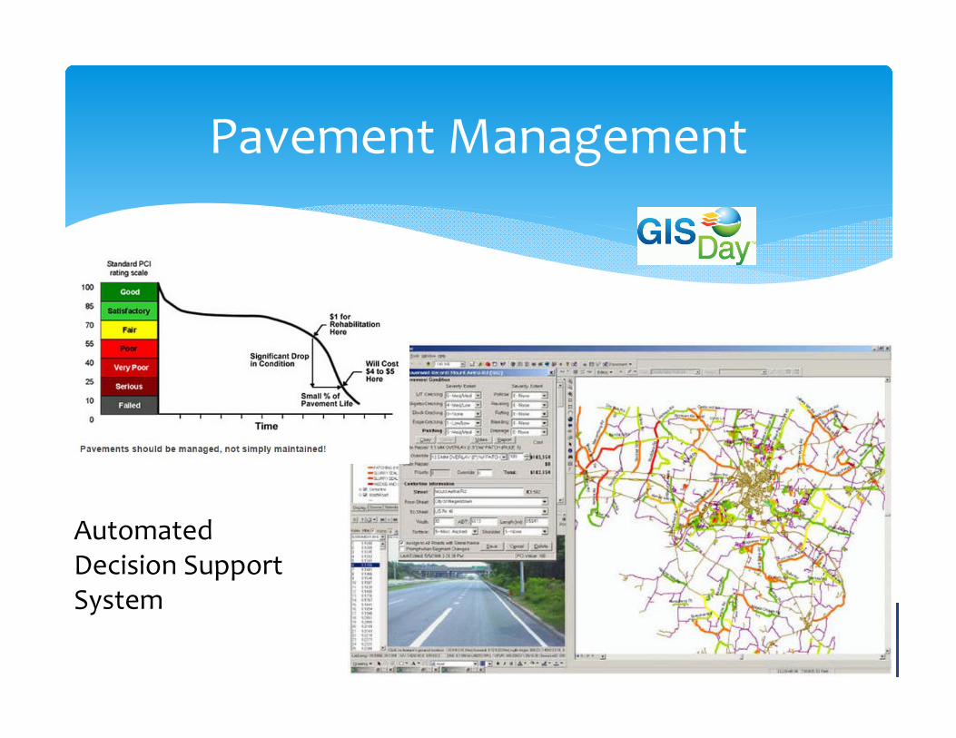
Pavement Management
Automated Decision Support System
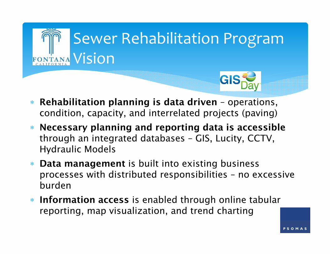
Rehabilitation planning is data driven – operations, condition, capacity, and interrelated projects (paving)
Necessary planning and reporting data is accessible through an integrated databases – GIS, Lucity, CCTV, Hydraulic Models
Data management is built into existing business processes with distributed responsibilities – no excessive burden
Information access is enabled through online tabular reporting, map visualization, and trend charting
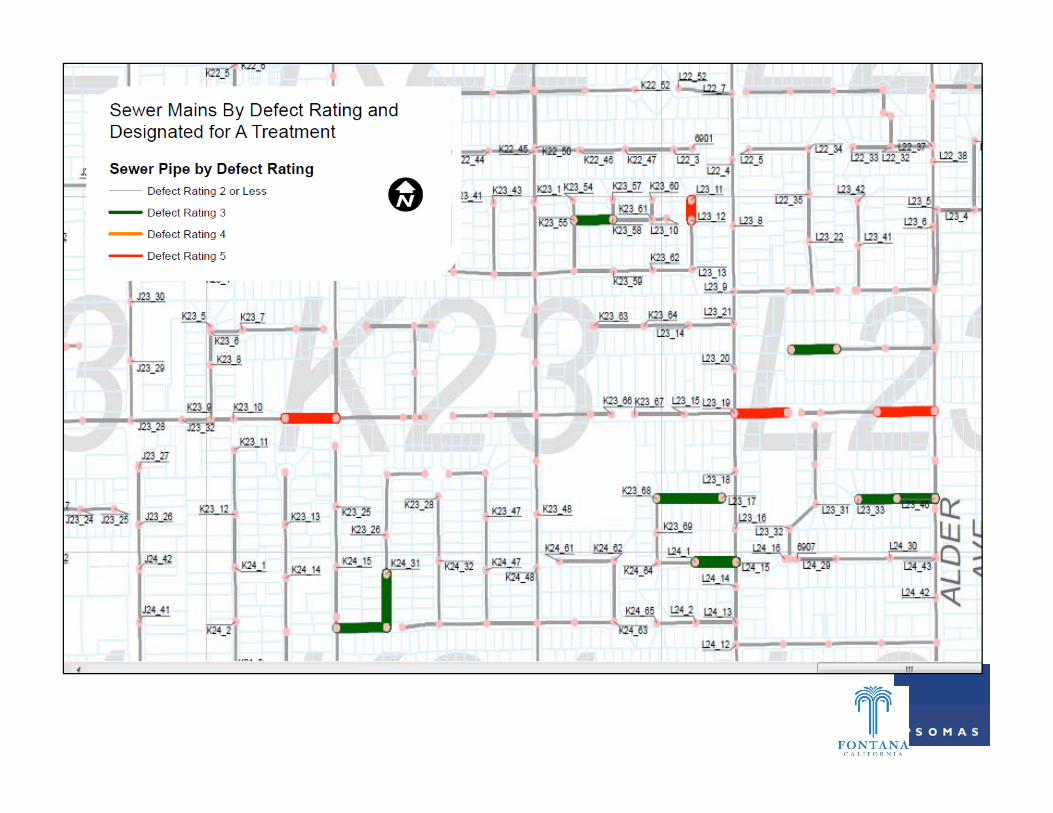
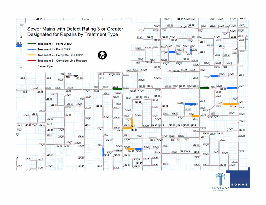
Sewer Rehabilitation Program Vision
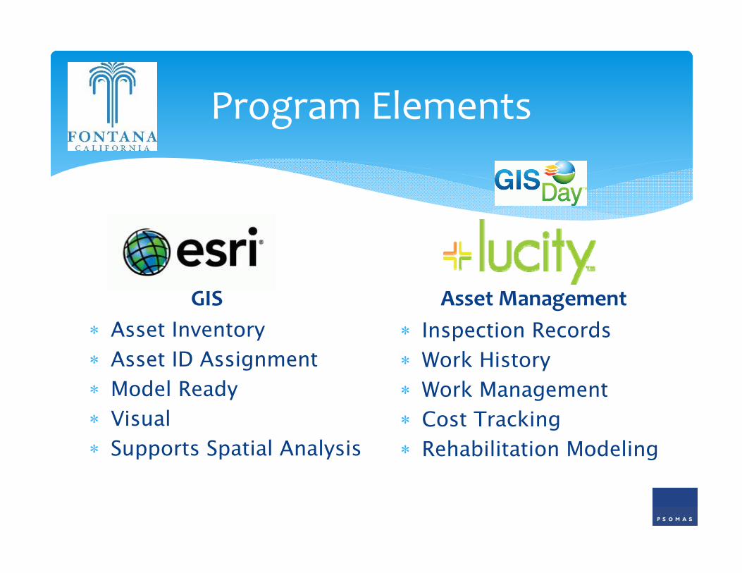
Program Elements
GIS Asset Inventory Asset ID Assignment Model Ready Visual Supports Spatial Analysis
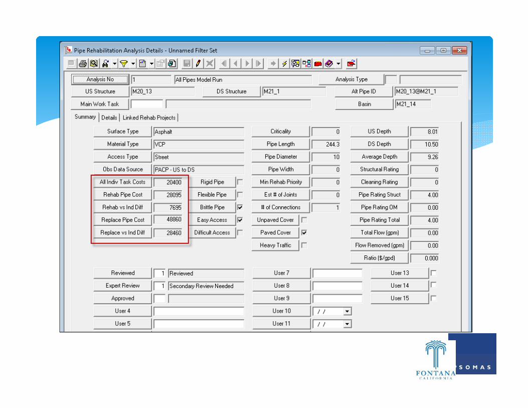
Asset Management Inspection Records Work History Work Management Cost Tracking Rehabilitation Modeling
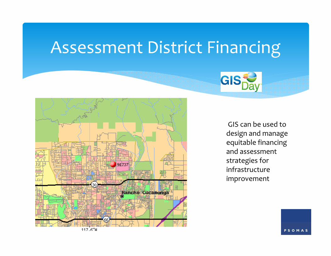
Assessment District Financing
GIS can be used to design and manage equitable financing and assessment strategies for infrastructure improvement
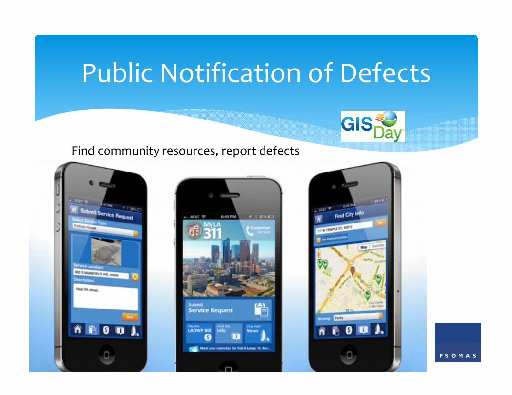
Public Notification of Defects
Find community resources, report defects
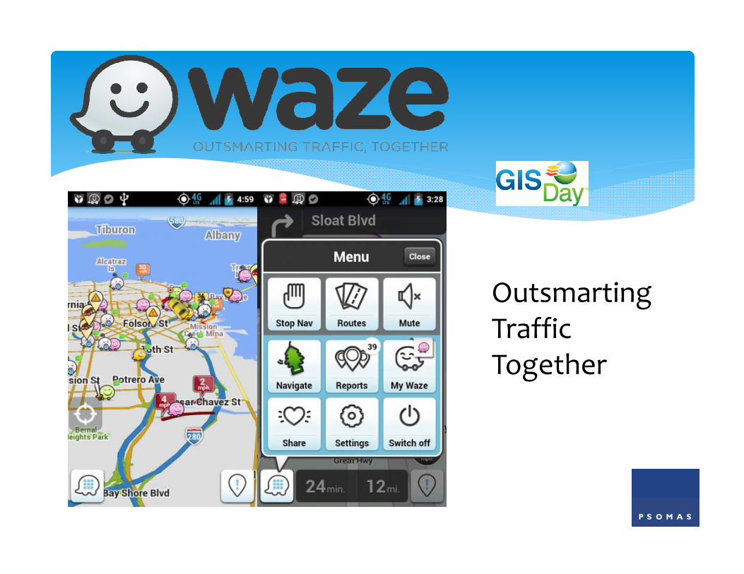
Outsmarting Traffic Together
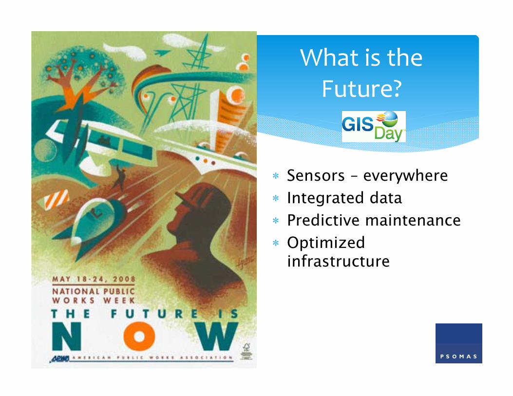
What is the Future?
Sensors – everywhere Integrated data Predictive maintenance Optimized
infrastructure
Infrastructure: Aging Networks
Resource: Water Shortages
Efficiency: Energy and Water Losses
Technology: Insufficient Network Visibility
Water Utility Challenges
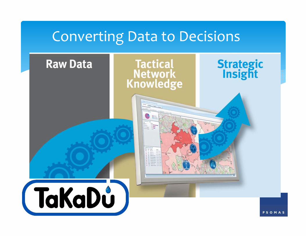
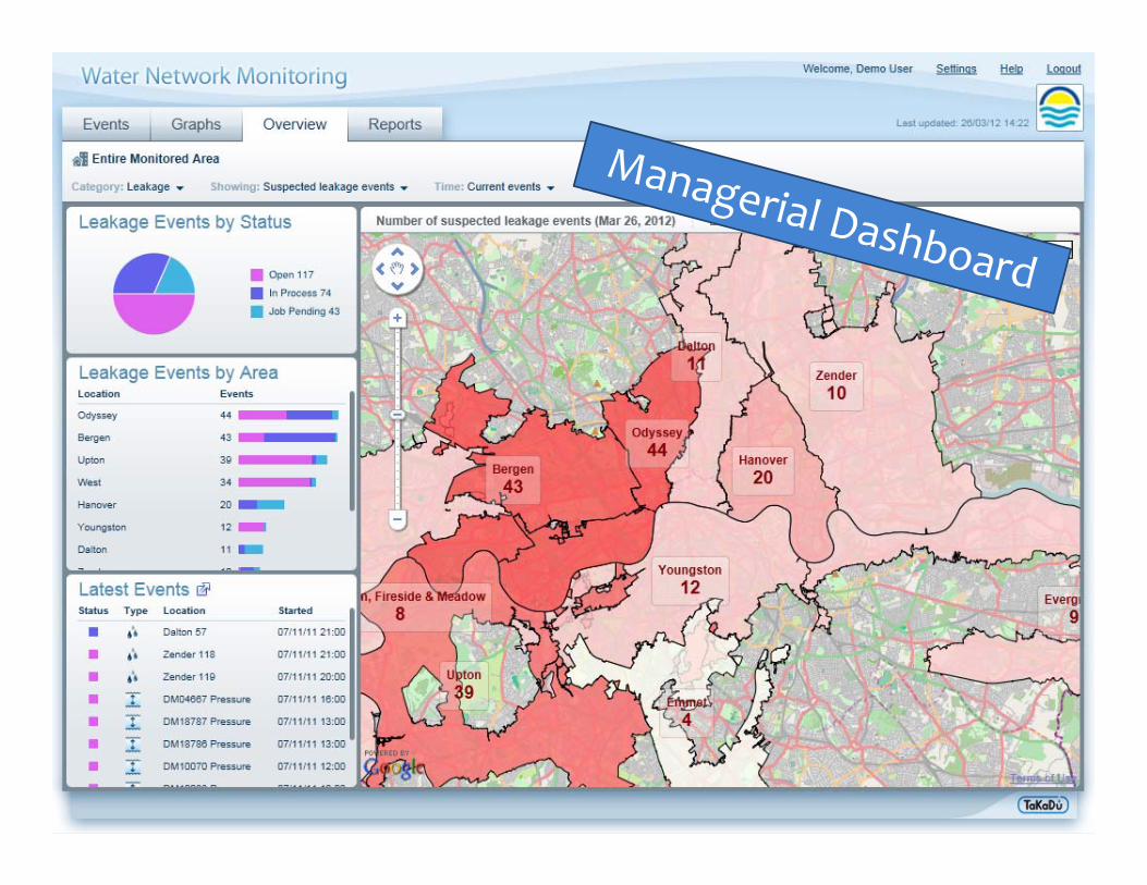
Converting Data to Decisions
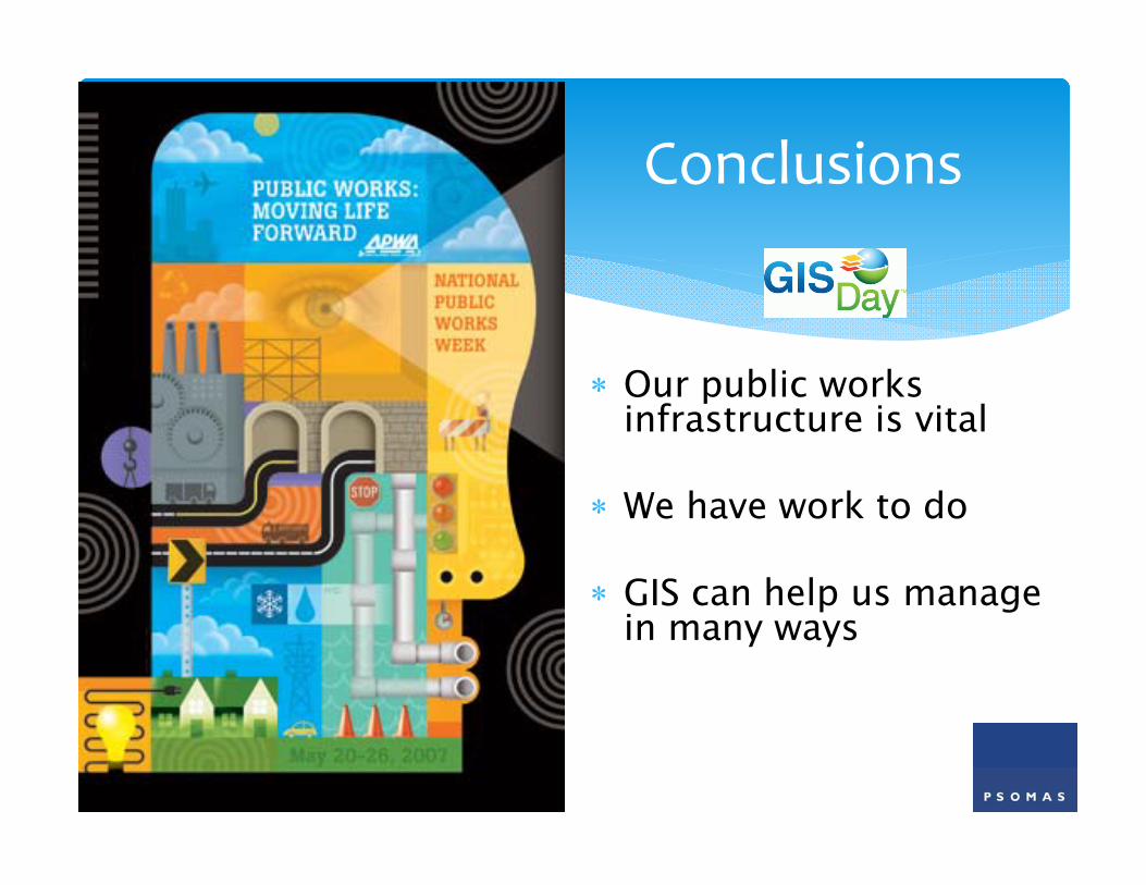
Our public works infrastructure is vital
We have work to do
GIS can help us manage in many ways
Conclusions
Contact Psomas for more information about integrated GIS and asset management programs.
Craig GoochVice President1500 Iowa Avenue, Suite 210Riverside, CA [email protected]
Contact