hydrology training course on surface … training course on surface and groundwater (ii), fiji,...
TRANSCRIPT

HYDROLOGY TRAINING COURSE ON SURFACE WATER AND
GROUNDWATER (II), SUVA, FIJI, 2005.
COUNTRY PRESENTATIONJames Mokepwesi
PNG

Introduction• Presentation:
1. Structure of the Geological Survey of Papua New Guinea as a Division of the Department of Mining and the Geophysics Section.2. Geophysical Observatory - Staff and Sections.3. Geophysical Surveys conducted in Groundwater Investigations.4. Hydrology Surveys Section

Department of Mining
Cooperate ServicesDivision
Geological Mappingand Mineral District
Surveys Branch(GMMDS)
Geological Survey Division
Mining Division
Geohazards Branch (GHS)
Rabaul Vulcanological Observatory Branch
(RVO)
Geophysical ObservatoryBranch(GOP)
Geophysical Surveys
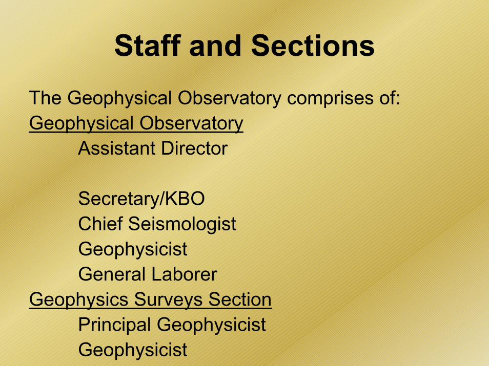
Staff and SectionsThe Geophysical Observatory comprises of:Geophysical Observatory
Assistant Director
Secretary/KBOChief SeismologistGeophysicistGeneral Laborer
Geophysics Surveys SectionPrincipal GeophysicistGeophysicist
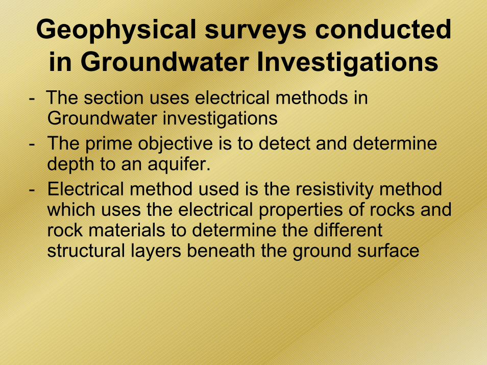
Geophysical surveys conducted in Groundwater Investigations
- The section uses electrical methods in Groundwater investigations
- The prime objective is to detect and determine depth to an aquifer.
- Electrical method used is the resistivity method which uses the electrical properties of rocks and rock materials to determine the different structural layers beneath the ground surface

- The section makes use of what is called the half – Schlumberger Array.This technique employs the use of four point electrodes; two potential electrodes and two current electrodes.The electrodes are placed symmetrically along what is called a resistivity spread with reference to a central point.The current electrodes are placed at fixed positions on the inside of the spread while the potential electrodes are placed systematically on the outside at pre-calculated positions along the spread.

Current is passed into the Ground through the current electrodes and is measured by the potential electrodes. The depth variation is determined from a log-log graph with the resistivity data on the abscissa against the half-current electrode spacing, alias, the half – Schlumberger Array.
Modeling is carried out on an Interpex RESIX-IP version 2.0 resistivity software program which runs in MS-DOS.


Hydrology Surveys Section- The Geophysics Surveys Section and the
Hydrological Surveys Section of the GHS Branch are the two main sections that carry out water investigations.
- The Hydrology Surveys Section provides:- specifications for the drilling of water boreholes.
- supervision for the drilling and pump testing of water boreholes.

- preparation of borehole location maps- maintaining and upgrading the Hydrogeology Database. - providing advice and information to government departments, consultants, drilling companies and the general public on groundwater related matters.- acquisition of water borehole information.

The section also stores information on:- Location borehole constructions- Borehole log (Lithological)- Water Quality- Pump test information
This information is stored in MS-ACCESS

Software programs available for:
Pump test:- AqFesolv- Starpoint Software- UN Groundwater Software- Waterloo Hydrological Test Pro
Water Quality:- SolomiaQ- UN Groundwater Software- Waterloo Hydrological Water Quality