igic cad/gis integration workgroup update michael condre, gisp
TRANSCRIPT
IGIC CAD/GIS Integration Workgroup Update
Michael Condre, GISP
Coordination of Indiana GIS through dissemination of data and data products, education and outreach, adoption of standards, and building partnerships
CAD/GIS Integration Workgroup
Members: Charlene Avey Perry Cloyd Mike Condre Mike Cranfill Chelly Gracy Nate Hunt Steve
Leatherman Jennifer McMillan Eric Meyer
Tim Smith David Surina Theresa
Thompson Jayson
Troughton Jason Tuck Leane Kmetz Joyce West Robert N.
Wilkinson Phil Worrall [email protected]
Coordination of Indiana GIS through dissemination of data and data products, education and outreach, adoption of standards, and building partnerships
CAD/GIS Integration Workgroup
• The Workgroup is developing a set of data standards, database templates, and policy documents
• to support existing best-practices, integrated with commonly-used software, to facilitate private industry and local government data exchange.

Coordination of Indiana GIS through dissemination of data and data products, education and outreach, adoption of standards, and building partnerships
CAD/GIS Integration Workgroup
• Use of these templates will streamline the electronic exchange of CAD-based engineering design data submitted to local governments for direct integration into a local government's GIS.
Coordination of Indiana GIS through dissemination of data and data products, education and outreach, adoption of standards, and building partnerships
CAD/GIS Integration Workgroup
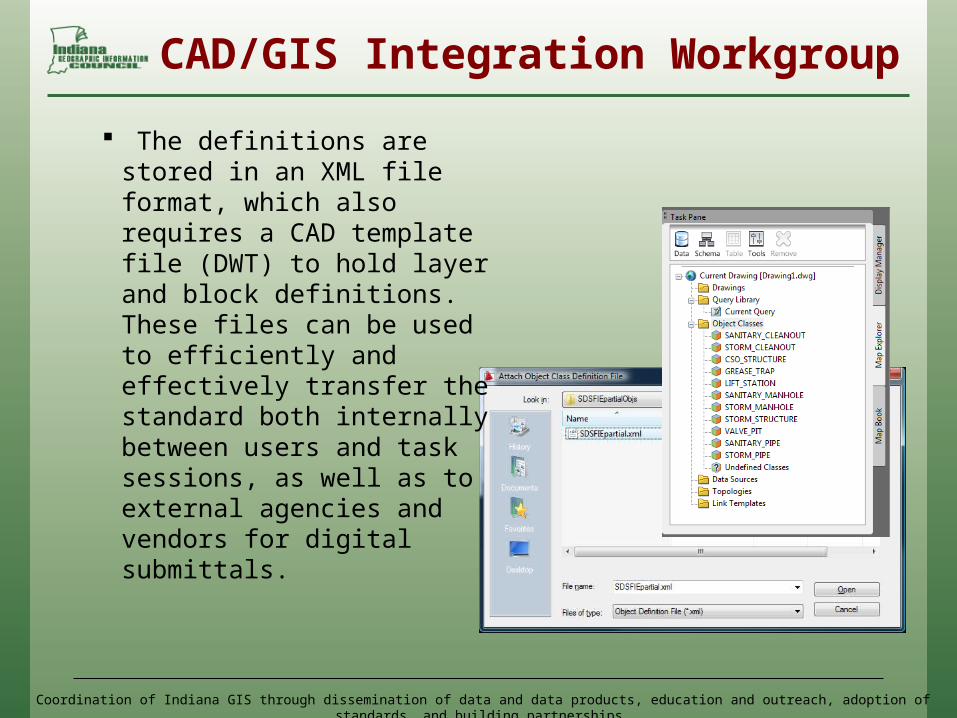
The definitions are stored in an XML file format, which also requires a CAD template file (DWT) to hold layer and block definitions. These files can be used to efficiently and effectively transfer the standard both internally between users and task sessions, as well as to external agencies and vendors for digital submittals.

Coordination of Indiana GIS through dissemination of data and data products, education and outreach, adoption of standards, and building partnerships
CAD/GIS Integration Workgroup
• Next Steps: XML generation – done! CAD Templates – done! Instructional documents /
downloadable web content – in progress
Road Show / publication - coming Your Feedback, ongoing
improvements and Success Stories Thanks!
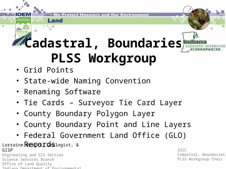
Cadastral, Boundaries, PLSS Workgroup
• Grid Points• State-wide Naming Convention• Renaming Software• Tie Cards – Surveyor Tie Card Layer• County Boundary Polygon Layer• County Boundary Point and Line Layers• Federal Government Land Office (GLO) Records
Lorraine Wright, Geologist, & GISPEngineering and GIS SectionScience Services BranchOffice of Land QualityIndiana Department of Environmental Management
IGIC Cadastral, Boundaries, PLSS Workgroup Chair
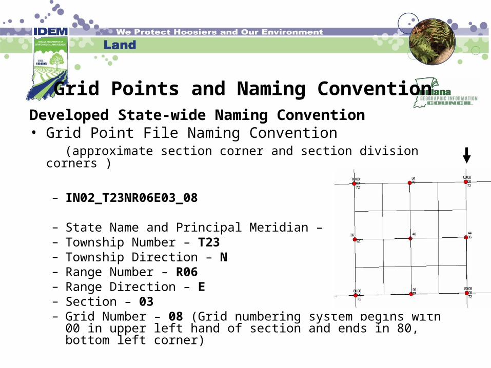
Developed State-wide Naming Convention• Grid Point File Naming Convention (approximate section corner and section division corners )
– IN02_T23NR06E03_08
– State Name and Principal Meridian – IN02 – Township Number – T23 – Township Direction – N – Range Number – R06 – Range Direction – E – Section – 03 – Grid Number – 08 (Grid numbering system begins with 00 in
upper left hand of section and ends in 80, bottom left corner)
Grid Points and Naming Convention
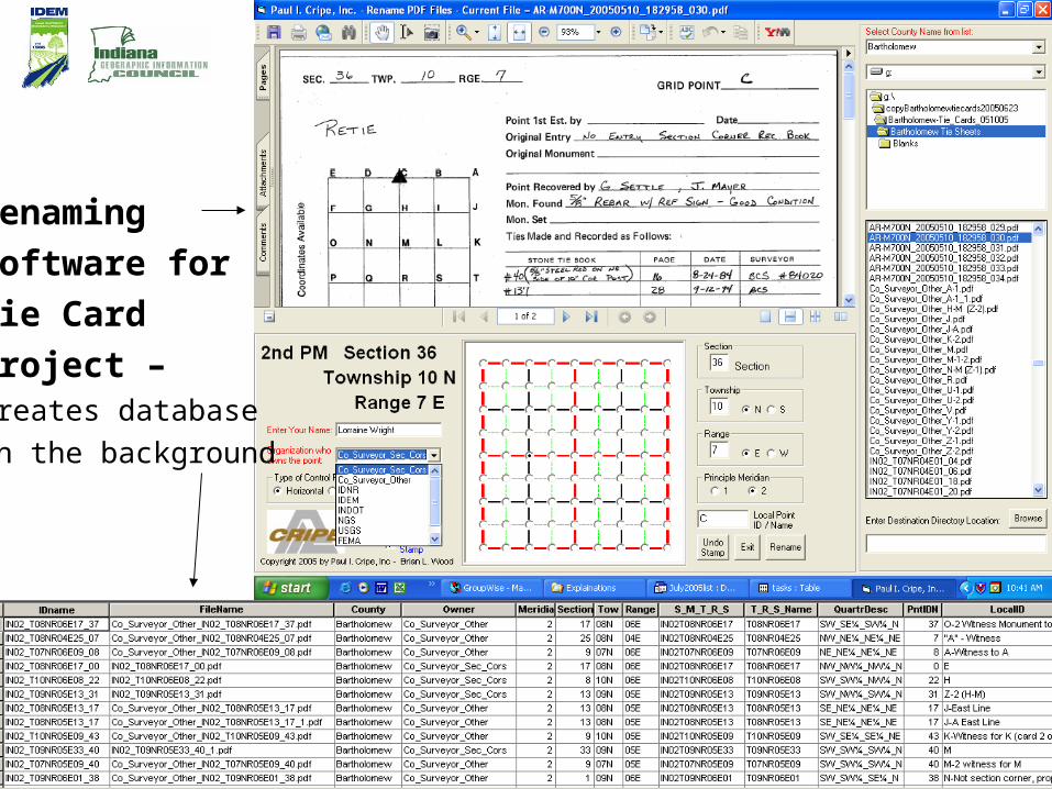
Renaming
Software for
Tie Card
Project –Creates database
in the background
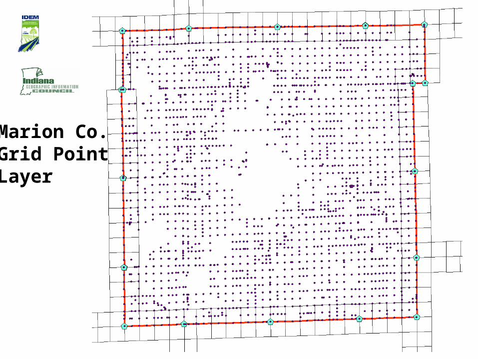
Marion Co.Grid PointLayer
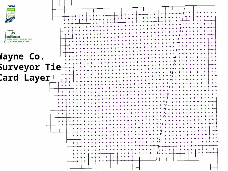
Wayne Co.Surveyor TieCard Layer

Newton
Marion Wayne
BartholomewJennings
The Surveyor Tie Card layer is located on the IndianaMap(five counties completed)
Surveyor Tie Card Layer

Disclaimer: Most of the counties (in color)showed interest in participating in the projectduring 2007 or earlier. Some of the counties polled may not have the same County Surveyor in office that was there in 2007 orearlier. A new poll should be conducted sincethe data is outdated and because there is a newmechanism available that allows easier data sharing than the method used in 2007.
Counties Interested and Participating in the Tie Card Project
Source:Map revised on January 11, 2011Lorraine Wright, IDEMCadastral, Boundaries, PLSS Workgroup, IGIC
TieCardProject
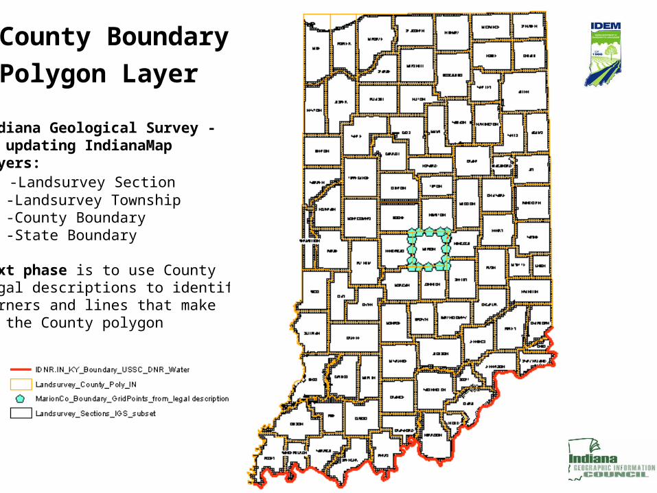
County Boundary
Polygon Layer
Indiana Geological Survey - is updating IndianaMap layers: -Landsurvey Section -Landsurvey Township -County Boundary -State Boundary
Next phase is to use County legal descriptions to identify corners and lines that makeup the County polygon

County BoundaryLines - correlate legaldescription line with section line layer
County Boundary Points - correlate the legal corners that define the County Boundary with the Grid Points
County legal description used to determine which Grid Pts and section lines (IGS) will be used
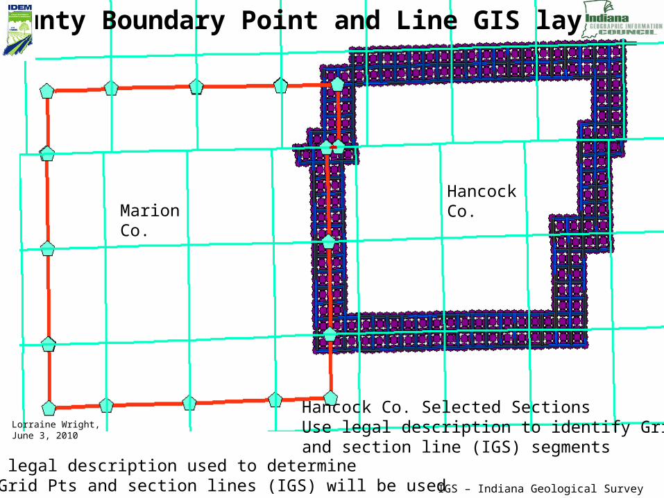
Hancock Co. Selected SectionsUse legal description to identify Grid Pts and section line (IGS) segments
Lorraine Wright,June 3, 2010
Marion Co.
HancockCo.
County Boundary Point and Line GIS layers
IGS – Indiana Geological Survey
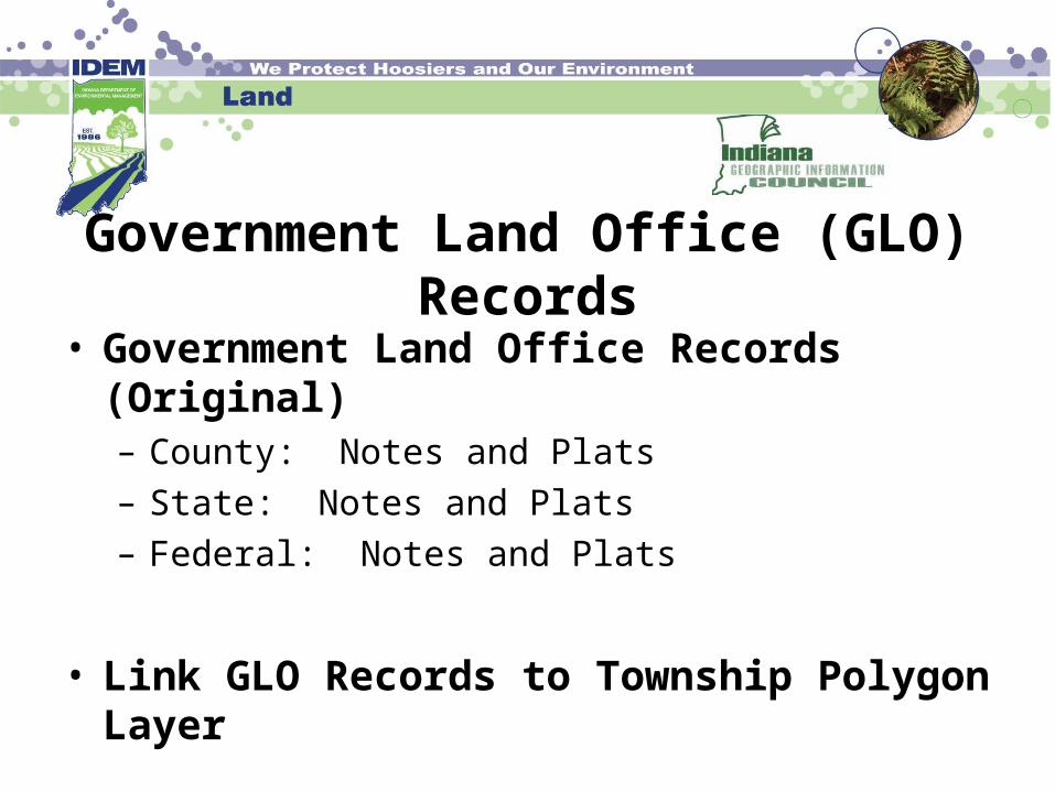
Government Land Office (GLO) Records
• Government Land Office Records (Original)– County: Notes and Plats– State: Notes and Plats– Federal: Notes and Plats
• Link GLO Records to Township Polygon Layer
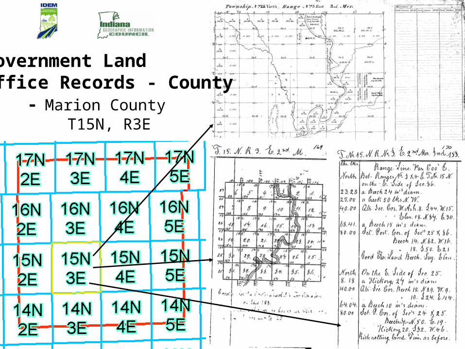
Government Land Office Records - County - Marion County T15N, R3E

Grid Points – new points added:
- Marion Grid Point layer – 324- Wayne Grid Point layer – 173
Surveyor Tie Card Layer on IndianaMap
- Added Marion and Wayne Counties (total of 5 counties)
Revised Boundary Layers nearly complete- State- County- Landsurvey_Township- Landsurvey_Section
County Boundary legal descriptions - Compiled Approximately 50- One County Boundary Point and Line File
Summary
Cadastral, Boundaries, PLSS Workgroup
• Cadastral, Boundaries, PLSS Workgroup– Comments and suggestions welcome
For more information contact:Lorraine WrightIndiana Department of Environmental Management(317) [email protected]
IGIC website: www.igic.org
Workgroup website:http://igic.org/committees/cadboundplss.html
Streets & Address Workgroup Update
Charline Avey, Chair
Coordination of Indiana GIS through dissemination of data and data products, education and outreach, adoption of standards, and building partnerships
Goals
• Develop data standards and identify appropriate standards-based data schema.
• Develop plans that include the following:
Inventory of existing data Stakeholder data requirements Data stewards Costs Work flow
Coordination of Indiana GIS through dissemination of data and data products, education and outreach, adoption of standards, and building partnerships
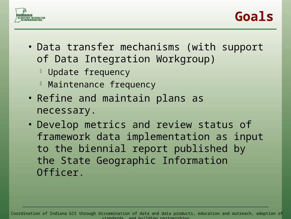
Goals
• Data transfer mechanisms (with support of Data Integration Workgroup) Update frequency Maintenance frequency
• Refine and maintain plans as necessary. • Develop metrics and review status of
framework data implementation as input to the biennial report published by the State Geographic Information Officer.

Coordination of Indiana GIS through dissemination of data and data products, education and outreach, adoption of standards, and building partnerships
2009 tasks
• Review Final FGDC Standards Review New Postal Address Profile Review New FGDC to NENA
• QA/QC review of Indiana Map County data deliveries now up to 83 of 85
• Explore the feasibility and methodology of "Crowd Sourced” Map Update

Coordination of Indiana GIS through dissemination of data and data products, education and outreach, adoption of standards, and building partnerships
"Crowd Sourced” Map Update
• OpenStreetMap - http://www.openstreetmap.org
• Google - http://www.google.com/mapmaker
• ESRI Online http://resources.esri.com/arcgisonlineservices/
Coordination of Indiana GIS through dissemination of data and data products, education and outreach, adoption of standards, and building partnerships
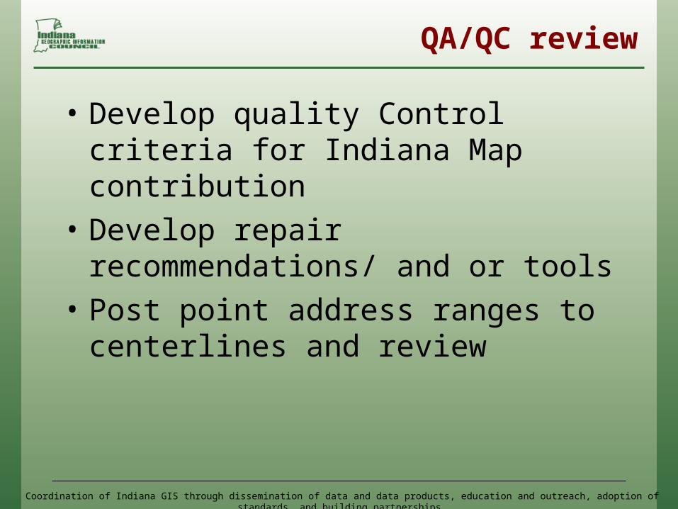
QA/QC review
• Develop quality Control criteria for Indiana Map contribution
• Develop repair recommendations/ and or tools
• Post point address ranges to centerlines and review
Coordination of Indiana GIS through dissemination of data and data products, education and outreach, adoption of standards, and building partnerships
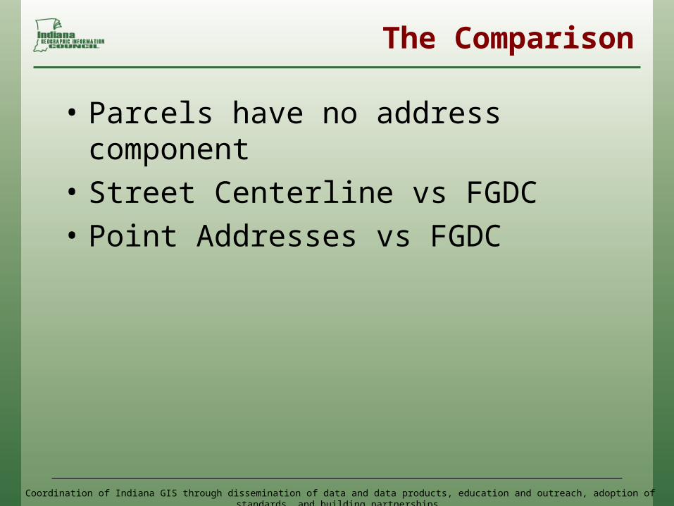
The Comparison
• Parcels have no address component
• Street Centerline vs FGDC• Point Addresses vs FGDC
Coordination of Indiana GIS through dissemination of data and data products, education and outreach, adoption of standards, and building partnerships
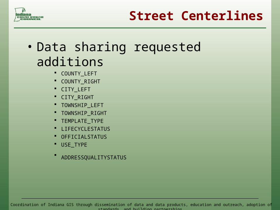
Street Centerlines
• Data sharing requested additions COUNTY_LEFT COUNTY_RIGHT CITY_LEFT CITY_RIGHT TOWNSHIP_LEFT TOWNSHIP_RIGHT TEMPLATE_TYPE LIFECYCLESTATUS OFFICIALSTATUS USE_TYPE
ADDRESSQUALITYSTATUS
Coordination of Indiana GIS through dissemination of data and data products, education and outreach, adoption of standards, and building partnerships
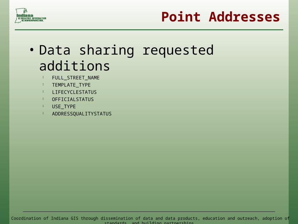
Point Addresses
• Data sharing requested additions FULL_STREET_NAME TEMPLATE_TYPE LIFECYCLESTATUS OFFICIALSTATUS USE_TYPE ADDRESSQUALITYSTATUS
Coordination of Indiana GIS through dissemination of data and data products, education and outreach, adoption of standards, and building partnerships
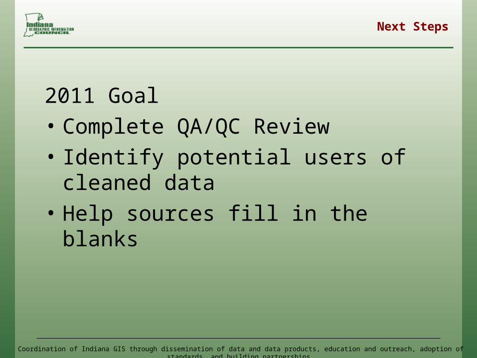
Next Steps
2011 Goal• Complete QA/QC Review• Identify potential users of cleaned
data• Help sources fill in the blanks