international institute for geo-information science and earth observation simulating informal...
TRANSCRIPT

INTERNATIONAL INSTITUTE FOR GEO-INFORMATION SCIENCE AND EARTH OBSERVATION
Simulating informal settlements growth in Dar
es Salaam, Tanzania; a hierarchical framework
Ellen-Wien Augustijn, Johannes Flacke and Asif Iqbal
ICA Workshop 2009 Gävle, Sweden
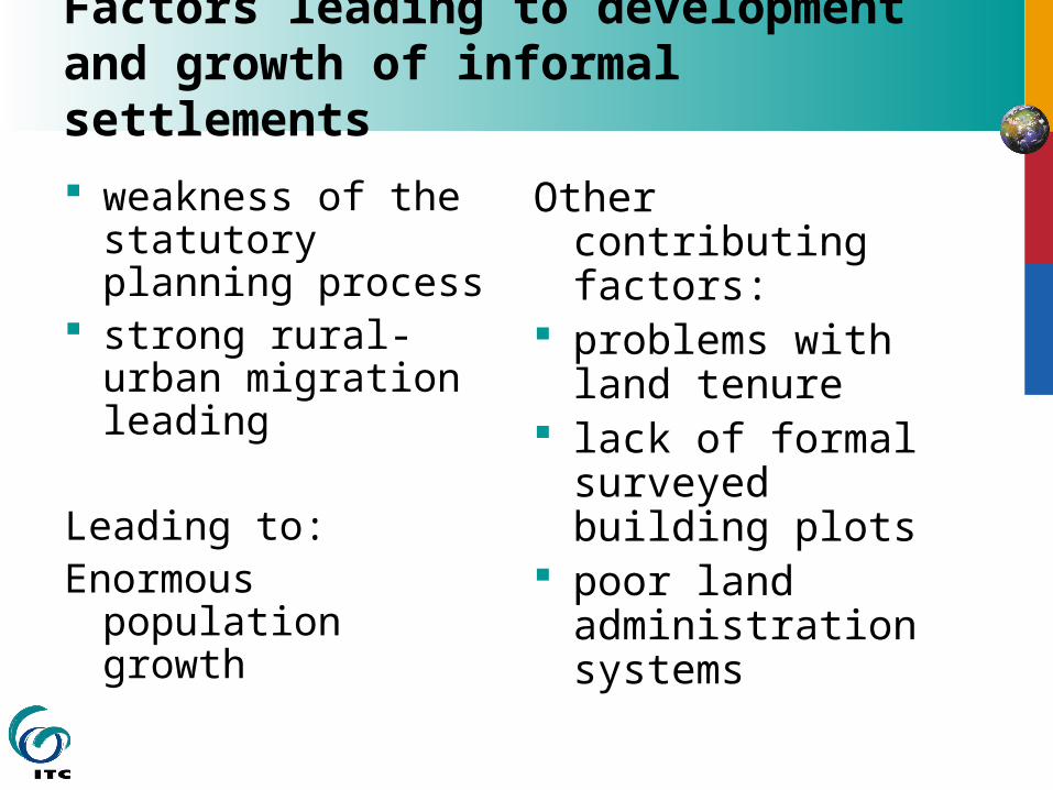
Factors leading to development and growth of informal settlements
weakness of the statutory planning process
strong rural-urban migration leading
Leading to: Enormous
population growth
Other contributing factors:
problems with land tenure
lack of formal surveyed building plots
poor land administration systems
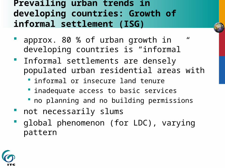
Prevailing urban trends in developing countries: Growth of informal settlement (ISG)
approx. 80 % of urban growth in developing countries is “informal”
Informal settlements are densely populated urban residential areas with informal or insecure land tenure inadequate access to basic services no planning and no building permissions
not necessarily slums global phenomenon (for LDC), varying
pattern


Informal settlement process differs from a formal settlement process
A limited number of simulation models were developed for informal settlements
No body of theory exists for the development of IS in developing countries, simulation models can contribute to a better understanding of the process and theory development.

ISG in Dar es Salaam, Tanzania
70 % of growth in informal majority of the settlers
buy/inherit the land accommodates a wide
variety of social groups of different income level
Densities are low in the beginning and increase over time
Development of vacant or agricultural land
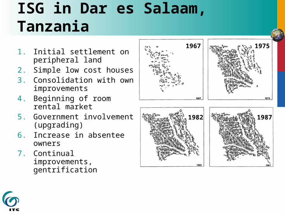
ISG in Dar es Salaam, Tanzania
1. Initial settlement on peripheral land
2. Simple low cost houses 3. Consolidation with own
improvements4. Beginning of room rental
market5. Government
involvement (upgrading)6. Increase in absentee
owners7. Continual
improvements, gentrification
1967 1975
19871982

Relating IS to hierarchy theory
complex systems have two lines of organization, a vertical structure and a horizontal structure.
The vertical structure is composed of levels and the horizontal structure of sub models (Wu and David, 2002).
Each hierarchical level has a particular rate of processes where higher levels have a slower process and lower levels have a faster
Land use change is generally seen as a multi-scale process in which processes - driving factors operate at different scales
Besides the individual settler, other actors are actively responsible for the growth and change in informal settlements. These actors include the local government. (vertical structure)
Horizontally three subsystems can be identified
Hierarchy theory Informal Settlements

Factors influencing ISG - sub models
ISG
Economic factors
Cultural factors
Physical factors
Socialcontacts Family
ties
traditionalsystems
Gentrification
CommercialRoom rental
Landquality
Landprices
Accessibility
Upgradedutilities

Objective
The objective of this study is to create a two level hierarchical model consisting of:
a city wide settlement model a micro-level housing model

Conceptual framework
City level or settlement model
Housing Model

Driving factors
Landscape Economic Social
Higher level “settlement model”
Accessibility:-Main roads-Railway
Closeness to:-CBD-River-Formal settlement
Neighborhood
Density of the urban area
Price of land Socio-economic status of the area
Neighborhood Availability of farmland
Lower level “Housing” model
Risks:-Slope-flood area
Price of a parcel Market place
Transportation:-Road-Bus stop
Tenants Church
Water:-river-water distribution points
Family – tribe ties

Conceptual framework
Settlement model Raster based Temporal resolution –
year Actors include
government Growth of
settlements, new roads, upgrading from informal to formal
Housing model Vector based Temporal resolution –
day to month Actor is the family Choice of plot,
building of houses, renting of rooms

Implementation of the housing model
a. Movement of Agents
New Agents are created at a random location
Agent will move to the closest house
Movement from centroid to centroid
agent will select a new house within its search radius
b. Settlement Behavior
c. Cross-Layer Feedbacks

Implementation of the housing model
a. Movement of Agents
b. Settlement Behavior
new houses are built next to existing houses
The space required varies per type of building
When sufficient space is available the agent will check cost factors and attractiveness of the location calculating the suitability
c. Cross-Layer Feedbacks
Road Road
Road
Road

Implementation of the housing model
a. Movement of Agents
b. Settlement Behavior
New house Extension of an
existing house Only small or medium
size houses can be extended
small houses will always be situated between the existing house and the road
c. Cross-Layer Feedbacks

Results
Test runs were conducted for the time period 1987 to 1992 for Manzese settlement
Agents have preferences related to distance to roads and footpaths (roads being preferred above footpaths), and an avoidance behavior in relation to the flood risk areas.
Agents belong to different income groups and are either tenants or house owners.
Existing buildings (as polygons), infrastructure and the flood zone are used as input.

Results
Flood zone
Existing houses
Foot path
Road
Simulated house

Discussion
Aim of the project described here is to develop a two-layer hierarchical model containing an economic model, a social model and a landscape model. Only one layer of this model (the micro housing level) has been implemented so far Improvements on the housing model Development of the city level model

Limitations of the existing housing model
The current model is only suitable for modeling the densification process not for new spontaneous growth.
Of the social aspects only the difference between owners and tenants is implemented. This aspect can be further extended.
Currently the model only contains the roads, footpaths and flood zone area as physical features. This should be extended to include the slope, water distribution points, and possibly the access to utility infrastructure.
There is no mechanism of selling houses, so agents that settle in the area will not leave; this is an unrealistic limitation of the model.

Validation of the housing model
the predictive accuracy (correlation with actual data) Extensive data are available Tests can be conducted on other
informal settlements and different time periods
process accuracy Difficult although some processes are
documented