investigation of blowout high island block a-368psc.tamu.edu/wp-content/uploads/2002-080.pdf · ocs...
TRANSCRIPT

▀
OCS Report MMS 2002-080
Investigation of Blowout High Island Block A-368 OCS-G 2433 May 9, 2001 Gulf of Mexico Off the Texas Coast
U.S. Department of the Interior
Minerals Management Service Gulf of Mexico OCS Regional Office

OCS Report MMS 2002-080
Investigation of Blowout High Island Block A 368 OCS-G 2433 May 9, 2001 Gulf of Mexico Off the Texas Coast Ronald Lee Fowler Stephen Martinez James Hail Freddie Mosley U.S. Department of the Interior Minerals Management Service New Orleans Gulf of Mexico OCS Regional Office December 2002

Contents Investigation and Report Authority, 1 Procedures, 1 Introduction Background, 3 Description of Incident, 3 Findings Descriptions of Platform and Rig, 5 Sequence of Events, 5
a. Well Plan, 5 b. Activities Preceding the Blowout, 6 c. Blowout, 7 d. Damages, 9
Conclusions, 11 Recommendations, 13 Attachments Attachment 1, Location of Lease OCS-G 2433, High Island Block A368 Attachment 2, Photograph of platform and rig during gas flow to seafloor
ii

Investigation and Report of Blowout
Authority A well blowout occurred during the period between May 9 and May 18, 2001,
resulting from drilling operations by Devon Energy Production Company, L.P.
(Devon) on Well A-5 ST01 BP00, Lease OCS-G 2433, High Island Block A368,
in the Gulf of Mexico (GOM), offshore the State of Texas.
Pursuant to Section 208, Subsection 22 (d), (e), and (f), of the Outer Continental Shelf
Land Act, as amended in 1978, and the Department of the Interior Regulations 30 CFR
Part 250, the Minerals Management Service (MMS) is required to investigate and prepare
a public report of this blowout. By memorandum dated May 15, 2001, the following
MMS personnel were named to the investigative panel:
Ronald Lee Fowler, Lake Jackson District, Clute, Texas (Chairman)
Stephen Martinez, Lake Jackson District, Clute, Texas
James Hail, Lake Jackson District, Clute, Texas
Freddie Mosely, Houma District, Houma, Louisiana
Procedures The site was visited and inspected by James Hail and Ronald Lee Fowler on May 10 and
12, 2001. Numerous digital photographs of the scene were taken by representatives of
MMS and Devon.
A meeting was held on June 7, 2001, with representatives of Devon in the Lake Jackson
District offices to discuss all aspects of the incident.
Interviews with key operating personnel were conducted on the rig on June 14 and 26,
2001. Incident summaries and descriptions were taken from personnel during these
1

interviews. Teleconferences were held on August 16, September 6, and October 3, 2001.
Additional teleconferences were held on January 15 and 24, 2002, to discuss report
contents, formulation, and formats. Stephen P. Martinez contacted the U. S. Coast Guard
in Galveston, Texas, and learned that there would be no Coast Guard investigation of this
incident. The panel members met at various times throughout the investigative effort
and, after having considered all of the information available, produced this report.
2

Introduction
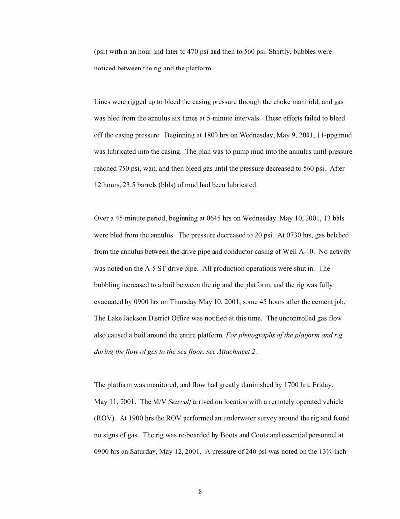
Background Lease OCS-G 2433 covers Block A-368 of the High Island Area, East Addition, South
Extension, Gulf of Mexico, approximately 105 miles from the Texas coast in 314 ft of
water. (For lease location, see Attachment 1.) The lease was initially issued effective
August 1, 1973, covering 5,760 acres. Effective August 29, 2000, Coastal Oil & Gas
USA, L.P.; Pennzoil Energy Exploration and Production, L.L.C.; and TBP Offshore Co.
designated Devon Energy Production Company, L.P. as operator. Devon Energy had
contracted Global Marine Drilling Company to conduct the drilling operations on
Platform A using the MODU Glomar Baltic I.
Description A blowout occurred on Well A-5 ST01 BP 00 during the period from May 9 to May 18, of Incident
2001, after the 13⅜–inch surface casing was cemented. The mobile offshore drilling unit
(MODU) Glomar Baltic I was cantilevered over “Platform A.” The rig is owned by
Global Marine Drilling Company. The plan called for the A-5 ST to be directionally
drilled with a drift angle of approximately 55 degrees.
On May 8, 2001, after the 13⅜-inch surface casing was cemented, a slight flow was
noted coming from the annulus between the surface casing and the 18⅝-inch conductor
casing. The diverter was closed and pressure started increasing on the annulus. Valves
and piping were rigged up to the 18⅝-inch A section to permit monitoring of pressure
and transport of fluids to and from the annulus. Throughout the night of May 8 and
through 0730 hrs on May 10, unsuccessful attempts were made to bleed off the annular
pressure.
3

On May 10, 2001, gas belched from the 22-inch drive pipe of Well A-10 ST01, located
one slot south of Well A-5 ST01. There were no gas bubbles coming from the A-5 ST01
drive pipe at this time. However, in the ensuing 15 minutes, gas bubbles were observed
around other wells at the water line. Within an hour, all 57 personnel on the rig and
platform were safely evacuated.
The flow eventually ceased, and the rig was re-manned on May 12, 2001. Attempts to
salvage the well failed, the well was successfully plugged, and the rig was released on
June 16, 2001.
4

Findings
Descriptions The blowout occurred after setting surface casing on Well A-5, ST01, Lease OCS-G of Platform and Rig 2433, at High Island Block A-368, “Platform A.” The self-elevating MODU Glomar
Baltic I was situated alongside the platform. This arrangement is typical of such
installations in the Gulf of Mexico.
Platform A is a four-leg, eight-pile, self-contained production platform located 500 ft
south and 5,500 ft east of the northwest corner of the block. Platform A has 12 well slots.
The decks of the platform are 75 ft by 86 ft. The approximate levels of the platform
main, cellar, and sub-cellar decks above mean sea level are 80, 57, and 46 ft, respectfully.
The MODU Glomar Baltic I is a self-elevating drilling unit-cantilever Marathon
LeTourno Super 300-class. Maximum rated drilling depth is 25,000 ft with a maximum
water depth capability of 375 ft.
Sequence Well Plan of Events
The A-5 ST was to be the last of the seven-well program to be drilled by the Glomar
Baltic I from Platform A. In all, 23 wells, including sidetracks, have been drilled from
this platform. The bottomhole location for Well A-5 ST was planned to be located in
High Island Block A-351, Lease OCS-G 2429. However, because of the blowout, the
well was terminated with the final bottomhole location in High Island Block A368, Lease
OCS-G 2433.
5

The A-5 ST well plan, including the plan for setting and cementing the surface casing,
was based on the drilling programs of Wells A-7 ST and A-10 ST. Because of the high
angle of this hole, there were no plans to reciprocate the surface casing while circulating
and pumping the cement job.
A TIMCO fill-up and circulation tool was employed to keep the casing full of mud and to
circulate while the casing was being run. After circulating one casing volume, the
TIMCO tool would then be laid down. The cement head would then be nippled up on the
casing and the cement job would be pumped.
The fracture gradient at planned surface casing depth was too weak to support a full
column of tail slurry that would extend above a shallow gas sand. Only the lead slurry
would cover the sand and extend to the surface.
Activities Preceding the Blowout
The original well, A-5 ST00 BP00, was plugged, and a mudline sidetrack, Well A-5
ST01 BP00, was initiated. Drive pipe was driven and the conductor casing was set and
cemented after four attempts because of tight spots. The 12¼-inch surface hole was
drilled and opened to 17½ inches without any significant incidents. A shallow gas sand
was penetrated in this well.
The same sand was the source of a blowout that occurred during drilling of Well A-3 in
March of 1980.
6

The surface casing was run to depth on Tuesday, May 8, 2001. A TIMCO tool was used
to keep the casing full of mud while running and to circulate bottoms up immediately
after the casing was run. The top of the last joint of casing was several feet above the rig
floor.
The top drive became inoperative because of the failure of an electrical relay in the top
drive control panel. The relay was bypassed, but the top drive still would not function.
Approximately five hours were spent troubleshooting this problem, during which time
mud was circulated. The TIMCO tool could not be removed without use of the top drive
because of the elevation of the last joint of casing.
After the top drive was back in service, the TIMCO tool was removed from the casing
and the cementing head was installed. On Tuesday, May 8, 2001, at 0614 hrs, cement
lines were rigged up and pumping of the cement began. During the cement job, returns
were lost for approximately 10 minutes when the cement reached the casing shoe.
Cement returned to the surface 72 barrels earlier than anticipated. The cement job was
completed at 0930 hrs on Tuesday, May 8, 2001.
Blowout
Five hours after pumping, at approximately 1430 hrs on Tuesday, May 8, 2001, cement
was washed out to 130 ft from the annulus between the surface casing and the conductor
casing. At that time, a slight flow began and the diverter was shut in. The motor vessel
Dakota was called to the rig when this problem was first noted and arrived on location at
0230 hrs on Wednesday, May 9, 2001. Pressure built up to 250 pounds per square inch
7
(psi) within an hour and later to 470 psi and then to 560 psi. Shortly, bubbles were
noticed between the rig and the platform.
Lines were rigged up to bleed the casing pressure through the choke manifold, and gas
was bled from the annulus six times at 5-minute intervals. These efforts failed to bleed
off the casing pressure. Beginning at 1800 hrs on Wednesday, May 9, 2001, 11-ppg mud
was lubricated into the casing. The plan was to pump mud into the annulus until pressure
reached 750 psi, wait, and then bleed gas until the pressure decreased to 560 psi. After
12 hours, 23.5 barrels (bbls) of mud had been lubricated.
Over a 45-minute period, beginning at 0645 hrs on Wednesday, May 10, 2001, 13 bbls
were bled from the annulus. The pressure decreased to 20 psi. At 0730 hrs, gas belched
from the annulus between the drive pipe and conductor casing of Well A-10. No activity
was noted on the A-5 ST drive pipe. All production operations were shut in. The
bubbling increased to a boil between the rig and the platform, and the rig was fully
evacuated by 0900 hrs on Thursday May 10, 2001, some 45 hours after the cement job.
The Lake Jackson District Office was notified at this time. The uncontrolled gas flow
also caused a boil around the entire platform. For photographs of the platform and rig
during the flow of gas to the sea floor, see Attachment 2.
The platform was monitored, and flow had greatly diminished by 1700 hrs, Friday,
May 11, 2001. The M/V Seawolf arrived on location with a remotely operated vehicle
(ROV). At 1900 hrs the ROV performed an underwater survey around the rig and found
no signs of gas. The rig was re-boarded by Boots and Coots and essential personnel at
0900 hrs on Saturday, May 12, 2001. A pressure of 240 psi was noted on the 13⅜-inch
8

by 18⅝-inch annulus of the Well A005 ST01. A noise and temperature log was run,
indicating that flow was coming from the previously mentioned shallow gas sand.
On Sunday, May 13, 2001, a second noise and temperature log indicated that flow from
the sand had subsided. A sector bond log was run and confirmed that no cement bond
existed behind pipe above the sand. On Wednesday, May 16, the surface casing was cut
with a saw, slips were installed, the diverter was removed, and blowout preventers
(BOPS) were nippled up. On Friday, May 18, 2001, the surface casing was perforated
above the sand. The first cement squeeze was performed and all bubbles around the
platform ceased. The ROV indicated that there were no gas bubbles at the mudline.
During the period from Saturday, May 19, through Saturday, May 26, 2001, the casing
was successfully squeeze-cemented through even shallower perforations to ensure
isolation of the annulus.
Operations were begun to salvage the well by drilling out of the surface casing. A hole
was found in the casing above the sand. Six unsuccessful attempts were made to squeeze
cement into the hole. During washing out below the hole with a watermelon mill, the
drill pipe became stuck and was backed off. The well was permanently plugged with
casing removal delayed pending platform removal. The rig was released on June 16,
2001.
Damages
There were no fires, explosions, fatalities, injuries, significant pollution events, and no
reported significant equipment damage as a result of this incident. There was an
9

undetermined loss of hydrocarbons (natural gas) as a result of the uncontrolled flow. The
blowout began on Tuesday, May 8, 2001, with plugging operations being completed on
June 14, 2001. Total rig time lost because of the blowout of Well A-5 ST01 was 37 days.
10

Conclusions
It is concluded that the source of the gas that flowed through the ST A-5 surface/conductor annular region
and the gas that flowed to the seafloor is the previously mentioned shallow gas sand. Although the
squeeze cementing of the annular region coincided with the cessation of the sea boil, the definite
mechanism(s) by which the gas flowed to the seafloor is not known.
1. Normal operating practices were followed during drilling of the surface hole, and
the hole was drilled with adequate mud weight. The density and pressure regression
properties of the cement led slurry are considered to have been a contributory factor.
2. Probable causes of the well control situation are
a) regression of cement from the mixed weight of 11.4 ppg to a seawater
gradient of 8.65 ppg and/or
b) formation of a channel while the cement was pumped.
3. Contributing causes of the well control situation may include the following:
a) The delay in pumping cement into the surface casing of Well A-5 may
have contributed to the formation of the channel. A loss of well control
did not occur on Wells A-7 and A-10, where cement was pumped much
sooner after landing the surface casings.
b) The loss of returns when the cement reached the casing shoe indicates a
fracture of the formation. This may have contributed to formation of the
channel.
11

c) Well A-5 may have penetrated formations more susceptible to washout
and lost returns than Wells A-7 and A-10, since Well A-5 was closer to
Well A-3 than Wells A-7 and A-10 at the aforementioned shallow gas
sand.
d) The delay in cementing the surface casing may have resulted in a
channel. This delay was caused by the difficulty in removing the
TIMCO fill-up circulation tool from the casing.
e) The explosion prevention timing system de-activated the top drive. This
problem required an extended period of time for troubleshooting.
4. The loss of head resulting from washing 130 ft of cement from the 13⅜-inch by
18⅝-inch annulus would not have caused the incident.
5. The decision to lubricate mud into the annulus to stop the gas flow prevented any gas
from actually reaching the rig floor. Not lubricating mud into the annulus could have
resulted in potentially catastrophic consequences such as occurred on Well A-3.
6. The evacuation of personnel from the rig was conducted safely and efficiently.
Summoning of the work boat when the problem was first noted eliminated or at least
greatly reduced the risks associated with transferring personnel to and from the
capsules.
12

13
Recommendations
The MMS should issue a Safety Alert that recommends the following: That cement
should be pumped as soon as possible after landing the surface casing and circulating at
least one casing volume.
MineralsManagementServiceGulfofMexicoOCSRegion
U.S.DepartmentoftheInterior
STATUTE MILES
KILOMETERS
0
0
50 100
100 200
Location of Lease OCS-G2433,HighIslandBlockA368
High IslandBlock A368
G-2433

Photograph of platform and rig during gas flow to seafloor
Jack-UpRig
Platform
Boil