key issue #1 - why is geography a science?churchillworldhistory.weebly.com/uploads/8/7/6/7/... ·...
TRANSCRIPT

AP Human Geography - 1 Name____________________________
Rubenstein’s The Cultural Landscape Chapter 1: Thinking Geographically
Introduction to Note Packets
Reading the textbook and taking notes while reading are NECESSARY steps in processing and retaining the material you will encounter in this course. The first chapter is often a challenge to
students as the author attempts to introduce you to a smattering of EVERYTHING you will come into contact with this year. You will be expected to be prepared to discuss the assigned
reading in class. Keep up with the assignments to get the most out of our time together.
Key Issue #1 - Why is Geography a Science?
Geography - means “_________________________________” - coined by Greek philosopher Eratosthenes
Geographers vs. Historians focus on…. focus on….. * * * * * *
Big difference: a geographer can visit the place needed for study but a historian cannot go back in time Introducing Geography Human geography studies the WHY of WHERE - we will study two main features of human behavior: ________________ and __________________ The Vocabulary of Human Geography
To explain why every place is unique, we study… To explain why different places are interrelated, we study….
Place - specific point on Earth, distinguished by particular characteristic how Luxembourg is an example -
Scale - relationship between the portion of Earth being studied and Earth as a whole - global vs local how Luxembourg is an example -
Region - an area of Earth defined by one or more distinctive characteristics how Luxembourg is an example -
Space - refers to physical gap or interval between two objects how Luxembourg is an example -

AP Human Geography - 2 Name____________________________
Connection - refers to relationships among people and objects across the barrier of space. Geographers are concerned with various means by which connections occur. how Luxembourg is an example -
Cartography: The Science of Mapmaking ____________ - two-dimensional or flat-scale model of Earth’s surface, or a portion of it Purpose #1 - REFERENCE TOOL = Purpose #2 - COMMUNICATIONS TOOL =
Geography in Ancient World Geography’s Revival
What two ancient geographers do you consider the most important and why?
How did mapmaking change over the centuries?
Contemporary Geographic Tools Maps are an essential tool for contemporary delivery of online services through smart phones, tablets, and computers.
Pinpointing Locations - GPS Analyzing Data: GI-Science Collecting and Sharing Data: VGI
Global Positioning System (GPS) - determines precise position of something on Earth Three elements: 1. satellites in predetermined orbits 2. tracking stations to monitor and control satellites 3.
Geographic Information Science (GIScience) - analysis of data about Earth acquired through satellite and other electronic information technologies GIS - captures, stores, queries, & displays the geographic data; computer system that allows LAYERS of information Remote Sensing -
Volunteered geographic information - creation and dissemination of geographic data contributed voluntarily & for free by individuals part of broader trend of citizen science - participatory GIS (PGIS) -

AP Human Geography - 3 Name____________________________
Used commonly for navigation specific examples of use: * * * *
examples of use: * *
examples of use: *OpenStreetMap - OSM - Mashup =
Interpreting Maps Two decisions a cartographer must make BEFORE making a map:
MAP SCALE - how much of Earth’s surface to depict on the map
PROJECTION - how to transfer a spherical Earth to a flat map
Map scale determines level of DETAIL and amount of AREA Ratio Written Graphic
Creating a flat map produces DISTORTION - 4 types: 1. Shape - 2. Distance - 3. Relative Size - 4. Direction -
Equal-areas Projection = relative size of landmasses on map are close to same in reality Distortions that must happen: 1. 2. Pros and Cons of Projections (not in text):
Mercator Robinson Peters

AP Human Geography - 4 Name____________________________
The Geographic Grid Meridian/Longitude - arc drawn between North and South poles Parallel/Latitude - circle drawn around the globe parallel to the equator and at right angles to meridians Prime Meridian - Why Greenwich, England? - Longitude - telling time - 15 degrees = time zones International Date Line - How longitude was created?

AP Human Geography - 5 Name____________________________
Key Issue #2 - Why is each point on Earth unique?
Understanding the features of a place allows geographers to explain similarities, differences, and changes across Earth.
Geographers consider FOUR ways to identify location: PLACE NAME, SITE, SITUATION, & MATHEMATICAL LOCATION.
Place Names Site Situation Mathematical Location
Toponym = name given to a place on Earth Sources of names:
- physical character of a place
-characteristics include: ex. Boston =
- the location of a place relative to other places
- Two ways it is useful: 1. 2. examples:
aka - latitude & longitude
Region: A Unique Area Region = area of Earth defined by one or more distinctive characteristics.
Two scales: globally and within a country
Cultural landscape = Carl Sauer - combination of cultural features, economic features and physical features
Formal Region/Uniform Region Functional Region/Nodal Region Vernacular/Perceptual Region
Description: Example(s):
Description: Example(s):
Description: Example(s);

AP Human Geography - 6 Name____________________________
Culture Regions
Culture - the body of customary beliefs, material traits, and social forms that together constitute the distinct tradition of a group of people
Culture: What People Care About Culture: What People Take Care Of
Studying a group’s language, religion and ethnicity help identify location of a culture and principal means by which cultural values become distributed around the world Language - Religion - Ethnicity -
Study the production of material wealth - food, shelter, clothing - but different cultural groups obtain their wealth in different ways world divided into developed and developing countries characteristics of developed = characteristics of developing =
Spatial Association (you will see this term A LOT in the coming year!) -Occurs within a region if the distribution of one feature is related to distribution of another feature -Spatial association is strong if 2 features have ___________________________________ -Spatial association is weak if 2 features have _____________________________________ Example: Baltimore City
Income
Life Expectancy at Birth Crime Liquor stores
How do these 4 features demonstrate spatial association?

AP Human Geography - 7 Name____________________________
Key Issue #3 - Why are different places similar? Scale, Space, Connections = help explain why similarities among places and regions result from regularities rather than coincidences Scale: Global and Local Globalization = __________________________________________________________ _____________________________________________________ -the scale of the world is shrinking BUT groups of people are preserving and reviving distinctive cultural characteristics and implementing distinctive economic practices
Economic Globalization & Local Diversity Cultural Globalization & Local Diversity
-economic globalization is led by TNCs/MNCs = _____________________________________ _____________________________________ -examples: -Effects
uniform cultural landscape = -examples: Effects =
Space: Distribution of Features Spatial thinking - most fundamental skill that geographers possess to understand the arrangement of objects across Earth. Distribution - the arrangement of a feature in space Distribution Properties: Density Distribution Properties:
Concentration Distribution Properties: Pattern
density = frequency with which something occurs in space density = ______________ + ________________ examples of density:
concentration = extent of a feature’s spread over space clustered = dispersed = used to describe changes in distribution examples:
pattern = geometric arrangement of objects in space examples:

AP Human Geography - 8 Name____________________________
Space: Cultural Identity Cultural Identity and Distribution Across Space - geographers study cultural traits to help explain why people sort themselves out in space and move across the landscape in distinctive ways
Distribution by Ethnicity Distribution by Sexual Orientation
Distribution by Gender
Space: Inequality
Cultural Identity & Contemporary Geographic Thought
Unequal Access
Poststructuralist geography - examines how the powerful in a society dominate, or seek to control, less powerful groups, how the dominant groups occupy space, and confrontation that results from the domination examples -
electronic communication - quality of electronic service -
Humanistic geography - emphasizes the different ways that individuals form ideas about place and give those places symbolic meaning examples -
three core/hearth regions:
Behavioral geography - emphasizes importance of understanding psychological basis for individual human actions in space examples -
uneven development -

AP Human Geography - 9 Name____________________________
Connections: Diffusion Assimilation Acculturation Syncretism
process by which a group’s cultural features are altered to resemble those of another group
process of changes in culture that result from the meeting of two groups
combination of elements of two groups into a new cultural feature
examples
examples examples
Connections: Diffusion Diffusion = process by which a features spreads across space from one place to another over time Hearth = a place from which an innovation originates
Relocation Diffusion Expansion Diffusion
spread of an idea through physical movement of people from one place to another
spread of a feature from one place to another in an additive process
examples - Hierarchical diffusion - examples - Contagious diffusion - examples - Stimulus diffusion - examples -

AP Human Geography - 10 Name____________________________
Connections: Spatial Interaction Network - chain of communication that connects places “hub and spoke” network = Distance decay = Space-time compression =

AP Human Geography - 11 Name____________________________
Key Issue #4 - Why are some actions not sustainable?
Geography, Sustainability, and Resources
Resource = a substance in the environment that is useful to people, economically and technologically feasible to access, and socially acceptable to use Examples - _________________________________________ Renewable resource = Nonrenewable resource = Two types of misuse of these resources = Sustainability = use of Earth’s renewable and nonrenewable resources in ways that ensure resource availability in the future Three Pillars of Sustainability
Environment Pillar Economy Pillar Society Pillar
Conservation = Preservation =
Consumers can support sustainability when they embrace it as a value Example:

AP Human Geography - 12 Name____________________________
Sustainability’s Critics World Wildlife Fund – Opposite perspective – Sustainability and Earth’s Physical Systems
Atmosphere
Hydrosphere
Lithosphere
Biosphere
Sustainability and Human Relationships How has modern technology altered the historic relationship between people and the environment: Cultural Ecology: Integrating Culture and Environment Cultural Ecology = geographic study of human-environment relationships
Environmental Determinism Define: belief that physical development causes social development Example:
Possibilism Define: physical environment may limit some human actions, but people have the ability to adjust to the environment Example:

AP Human Geography - 13 Name____________________________
Modifying the Environment
The Netherlands: Sustainable Ecosystem
South Florida: Unsustainable Ecosystem
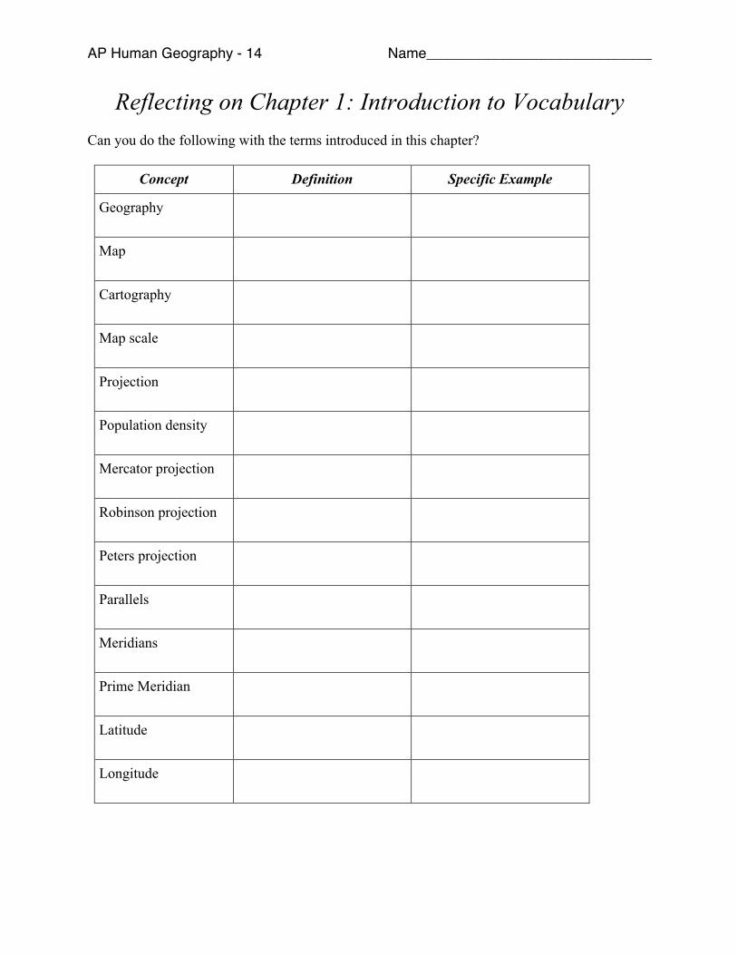
AP Human Geography - 14 Name____________________________
Reflecting on Chapter 1: Introduction to Vocabulary Can you do the following with the terms introduced in this chapter?
Concept Definition Specific Example
Geography
Map
Cartography
Map scale
Projection
Population density
Mercator projection
Robinson projection
Peters projection
Parallels
Meridians
Prime Meridian
Latitude
Longitude

AP Human Geography - 15 Name____________________________
Greenwich Mean
Time
International Date
Line
Remote sensing
GPS
GIS
Mashup
Place
Toponym
Site
Situation
Region
Cultural landscape
Carl Sauer
Formal/ uniform
region

AP Human Geography - 16 Name____________________________
Functional/ nodal
region
Vernacular/
perceptual region
Mental map
Culture
Agriculture
Spatial association
Globalization
Transnational
corporation
Space
Density
Distribution
Concentration
Dispersed
Clustered
Pattern
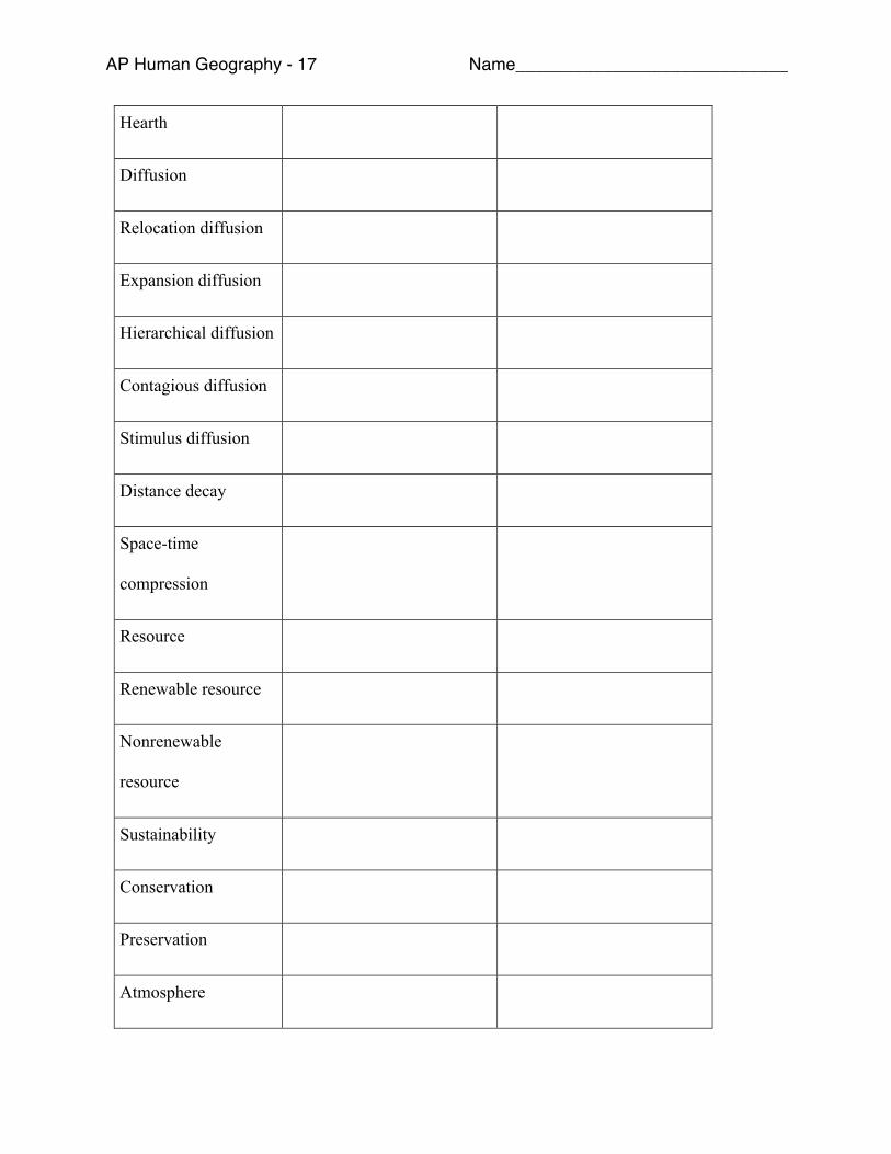
AP Human Geography - 17 Name____________________________
Hearth
Diffusion
Relocation diffusion
Expansion diffusion
Hierarchical diffusion
Contagious diffusion
Stimulus diffusion
Distance decay
Space-time
compression
Resource
Renewable resource
Nonrenewable
resource
Sustainability
Conservation
Preservation
Atmosphere

AP Human Geography - 18 Name____________________________
Hydrosphere
Lithosphere
Biosphere
Ecosystem
Cultural ecology
Environmental
determinism
Possibilism
Polder
Dike