location survey for the rural and urban areas
TRANSCRIPT
Location Survey in Rural and Urban Areas
Transportation Engineering - I
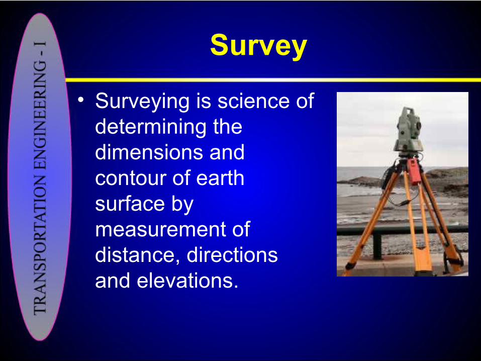
Survey
• Surveying is science of determining the dimensions and contour of earth surface by measurement of distance, directions and elevations.
Survey in Transportation Engineering
• Surveying is the first and most important step in highway engineering, which involves – Details of grounds– Details of surrounding areas– Topography of the area
• Various methods are being used i.e.; ground survey, air survey, route survey etc.

• The data from the survey is used; – In the design of new construction
– Improvement of existing facilities
• Location surveys are carried out in Rural and Urban areas in different ways.
Location Survey in Rural Areas
• It is tedious job, field oriented and time consuming. Most of the time and effort goes in measurements and observations on the ground.
• These are normally divided into three classic stages;– Reconnaissance survey– Preliminary line survey– Location survey

A View of Rural Area

Reconnaissance Survey
• Reconnaissance survey is the process of evaluating the feasibility of one or more possible routes for a highway between specific points, which may be many miles apart.
• Good reconnaissance can be the greatest single money-saving phase in the construction of a new road.
Tools
• Existing maps (showing topography of the area)
• Aerial photographs
• The maps are divided into three groups.– Large scale maps (50” to 1 mile)– Medium scale maps (6” to 1 mile)– Small scale maps (1” to 1 mile)
Commencement of Reconnaissance• Reconnaissance begins with a ‘paper
study’ of an area 40%-60% as wide as the distance between the proposed highway lengths.
• Hills, waterways and land use are examined first.
• No points passing through the hills are potential fixed points in the location, as river crossing sides, that afford suitable topography for approaches to bridges.
• Peat bogs and other marshy areas, which may have to be avoided, can also be detected at this stage.
• Sides for necessary fly- over structures can be located along intersecting roads and railway lines and utility relocation problems may be anticipated.
• The above activities can be summarized as follows:– Stereoscopic examination of small scale
photographs of the area, supplemented by available maps
– Determination of controls– Location of feasible route on the
photographs and maps
• After the reconnaissance, engineer goes to the field, where he obtains an evaluation of the fact of unusual topographic features, hydrology, the nature of certain man made works and subsurface conditions.
• If the available maps do not adequately portray the topography, approximate elevations of key points can easily be obtained.

• These activities can also be summarized as follows;– Stereoscopic examination of large scale
aerial photographs of each route– Determination of detailed controls of
topography and land use– Comparison of feasible routes on
photographs and maps– Selection of best route

• Returning to his office, the reconnaissance engineer can now make one or more paper locations of feasible routes.
• If he is satisfied with the extent and quality of the data, he may make the necessary economic comparisons to aid in the selection to the best routes
Reconnaissance Report
• The results of his studies are presented in a report.
• In its barest essentials, this report states the service and geometric criteria to be satisfied by the project, describes its chosen line and presents a tentative estimate of its cost.
• The following has been recommended as a typical reconnaissance reports outline;– Summary (Conclusions and
Recommendations)– Report
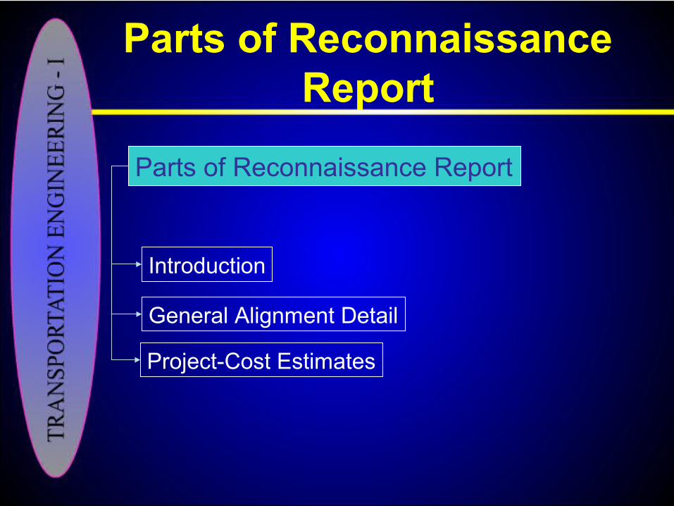
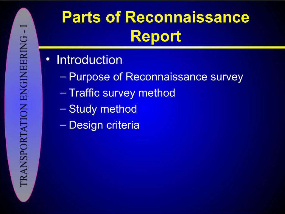
Parts of Reconnaissance Report
Parts of Reconnaissance Report
Introduction
General Alignment Detail
Project-Cost Estimates
Parts of Reconnaissance Report
• Introduction– Purpose of Reconnaissance survey
– Traffic survey method– Study method– Design criteria
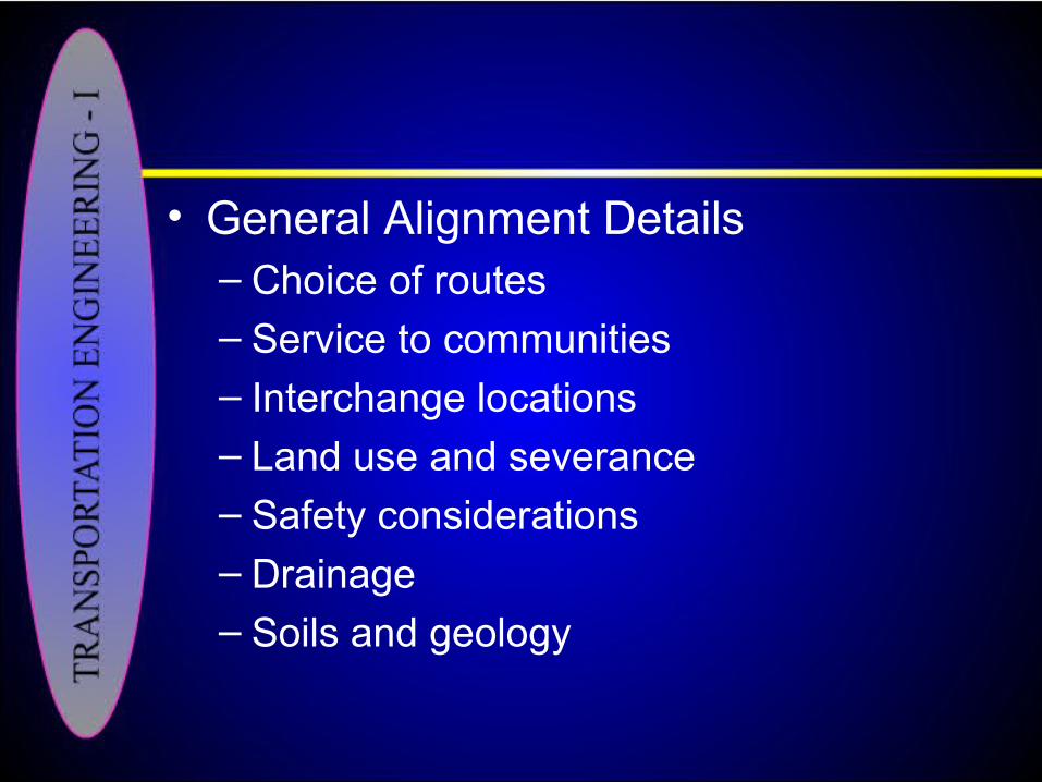
• General Alignment Details– Choice of routes
– Service to communities– Interchange locations– Land use and severance– Safety considerations– Drainage– Soils and geology
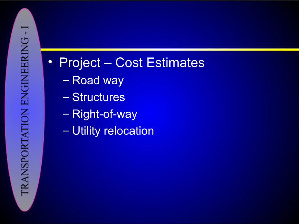
• Project – Cost Estimates– Road way
– Structures– Right-of-way– Utility relocation
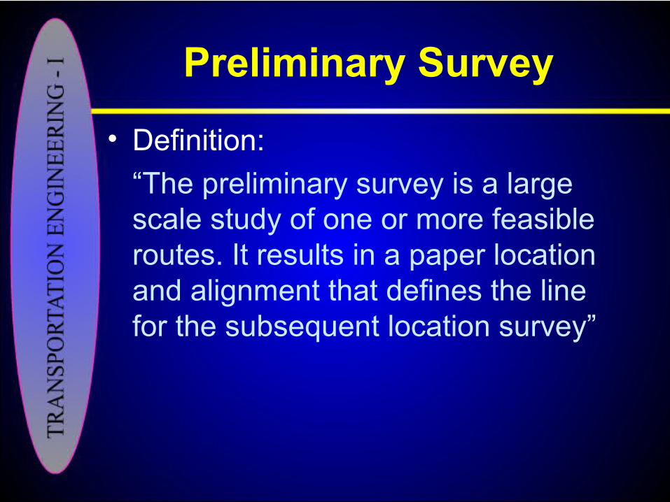
Preliminary Survey
• Definition:
“The preliminary survey is a large scale study of one or more feasible routes. It results in a paper location and alignment that defines the line for the subsequent location survey”

Most Feasible Route
Route I
Route II
Route III
Station II
Station I

• With in established route area, survey is performed for– Shape of ground– Limits of catchment areas– Position and invert levels of streams– Position of trees, banks, hedges,
bridges, culverts, existing roads, power and pipelines, houses and monuments
• The information from the survey is translated into maps, profiles and cross-section using route photographs and photogrammetric methods, which can assist the engineer to determine preliminary grades and alignment and to prepare an approximate cost estimate.

Choice of Mapping Methods
• Two approaches are available for preliminary survey mapping;
– Aerial surveys– Ground surveys
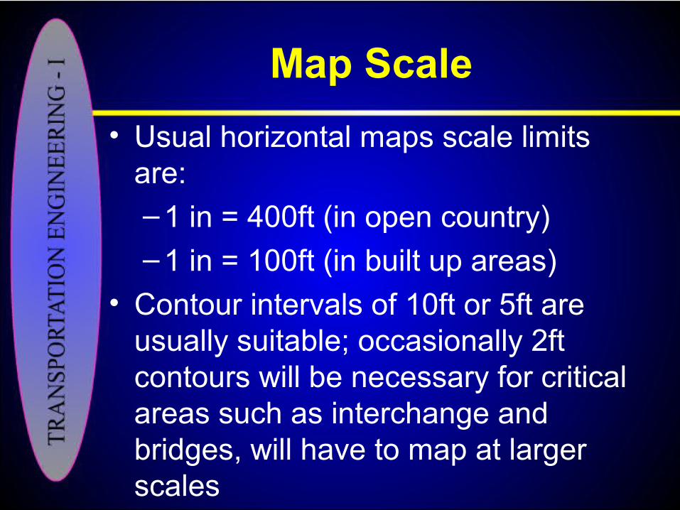
Map Scale
• Usual horizontal maps scale limits are:
– 1 in = 400ft (in open country)
– 1 in = 100ft (in built up areas)
• Contour intervals of 10ft or 5ft are usually suitable; occasionally 2ft contours will be necessary for critical areas such as interchange and bridges, will have to map at larger scales
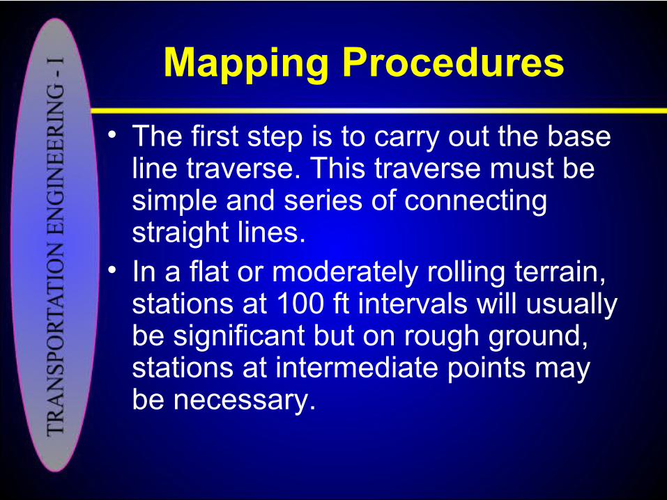
Mapping Procedures
• The first step is to carry out the base line traverse. This traverse must be simple and series of connecting straight lines.
• In a flat or moderately rolling terrain, stations at 100 ft intervals will usually be significant but on rough ground, stations at intermediate points may be necessary.
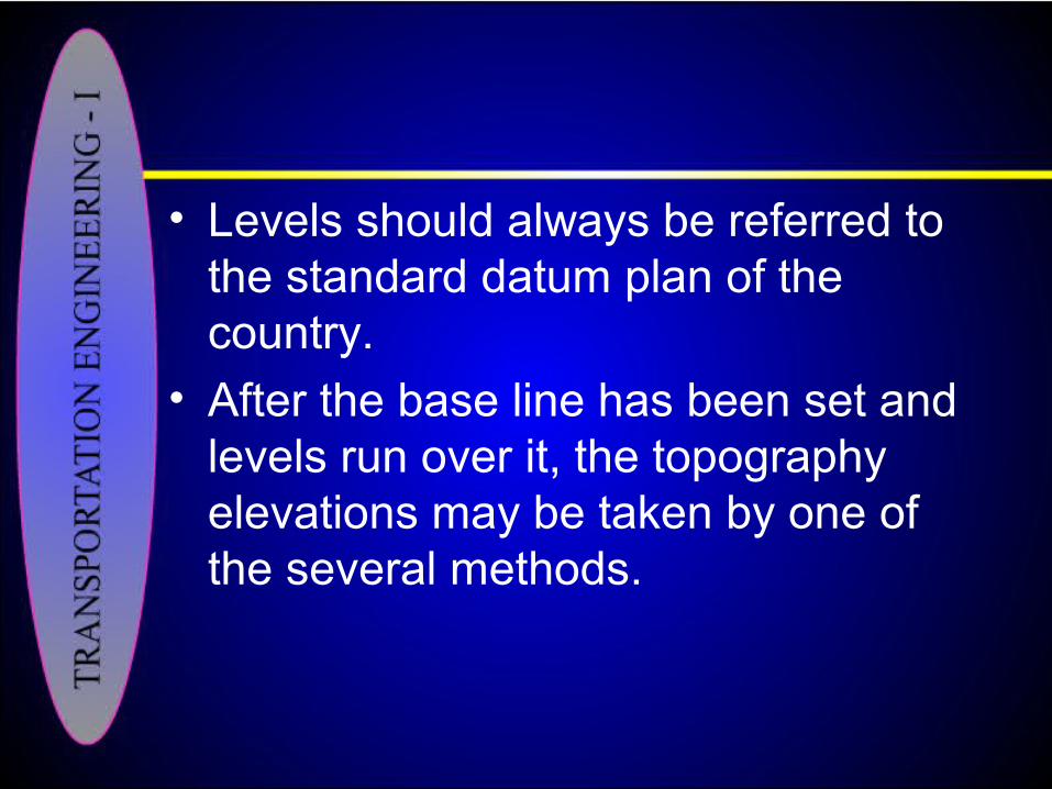
• Levels should always be referred to the standard datum plan of the country.
• After the base line has been set and levels run over it, the topography elevations may be taken by one of the several methods.

Final Location Survey
• This survey serves the dual purpose of definitely fixing the center line of the road, while at the same time physical data is collected which is necessary for the preparation of plans for the construction.
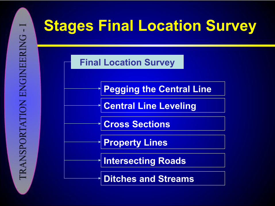
Stages Final Location Survey
Final Location Survey
Pegging the Central Line
Central Line Leveling
Cross Sections
Property Lines
Intersecting Roads
Ditches and Streams
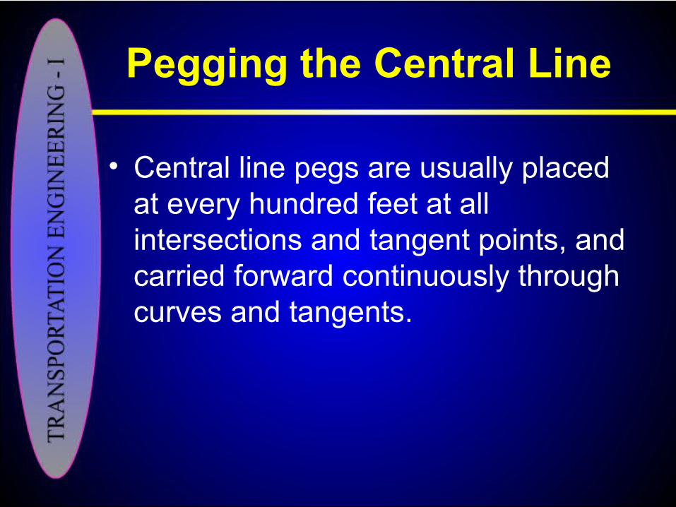
Pegging the Central Line
• Central line pegs are usually placed at every hundred feet at all intersections and tangent points, and carried forward continuously through curves and tangents.
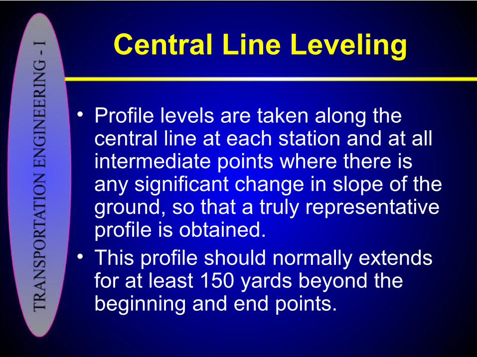
Central Line Leveling
• Profile levels are taken along the central line at each station and at all intermediate points where there is any significant change in slope of the ground, so that a truly representative profile is obtained.
• This profile should normally extends for at least 150 yards beyond the beginning and end points.
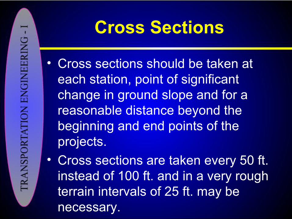
Cross Sections
• Cross sections should be taken at each station, point of significant change in ground slope and for a reasonable distance beyond the beginning and end points of the projects.
• Cross sections are taken every 50 ft. instead of 100 ft. and in a very rough terrain intervals of 25 ft. may be necessary.

Property Lines
• The positions of all property corner lines, fences and other man-made improvements are accurately determined and noted down during the final location survey.
Intersecting Roads
• The direction with respect to the pegged central line of all intersecting roads should be measured.
• Profiles and cross sections of the intersecting roads should be taken on both sides of the new central line.

Ditches and Streams
• All ditches and streams within the area of construction should be carefully located with respect to pegged central line.
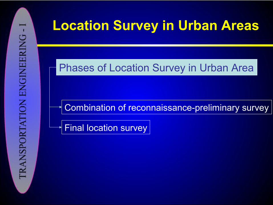
Location Survey in Urban Areas
Phases of Location Survey in Urban Area
Combination of reconnaissance-preliminary survey
Final location survey
A View of Urban Area
• The final location survey is similar to that described in a rural area for a highway location survey.
• It is difficult to carry out.
• The principal difference is in the scale of the aerial photographs and drawings which is roughly double the scale of their rural counter part, as greater detail is required.
Location Survey in Urban Areas
Location Survey in Urban Areas
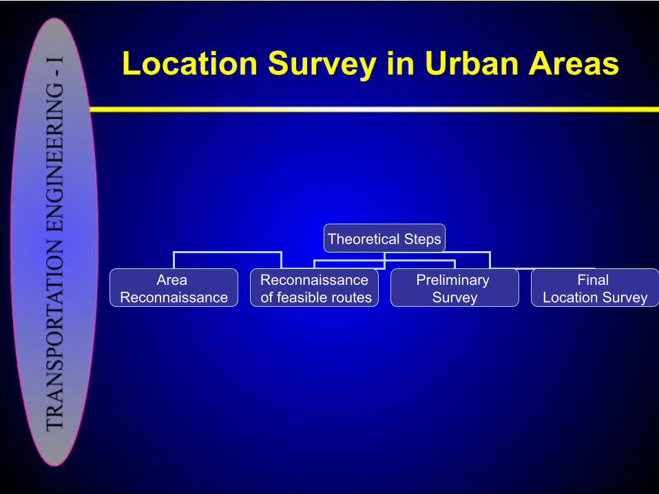
Theoretical Steps
Area Reconnaissance
Reconnaissance of feasible routes
Preliminary Survey
Final Location Survey
• The reconnaissance-preliminary survey leading to the location and preliminary design of major highway in an urban area has been divided in to the following inter related steps.– Determine the approximate traffic load
along a general route suggested by traffic desire lines.
Location Survey in Urban Areas
– Select the type of highway, the number of lanes needed to accommodate the approximate traffic load and the type of the service to be provided.
– Make plan and field sketches to establish one or more preliminary line that approximates the desired line location, and make sketch of preliminary design including interchange location.
Location Survey in Urban Areas

– Assign traffic to one or more of the selected locations to determine design traffic volumes.
– Adjust line and complete sketch preliminary plans for major alternate locations.
– Analyze and compare alternative locations for selection of the preferred one, by making cost estimates, analyzing road user benefits and considering other controls and factors.
Location Survey in Urban Areas