marking the twain - mississippi valley division
TRANSCRIPT
246 | Our Mississippi: Educational Activities about the Upper Mississippi River | www.OurMississippi.org
Marking the TwainName Date
Quarter less twain
Quarter less twain
Lawd, Lawd, no send me quarter less twain
Throw the lead line a little higher out.
I’ve gone low down, so mark twain,
Mark twain.
Come ahead, Mr. Pilot, a little bit strong.
I’ve done got over, and I believe we’re gonna
Throw the leadline over—
No bottom here.
– from Work Songs by Ted Gioia
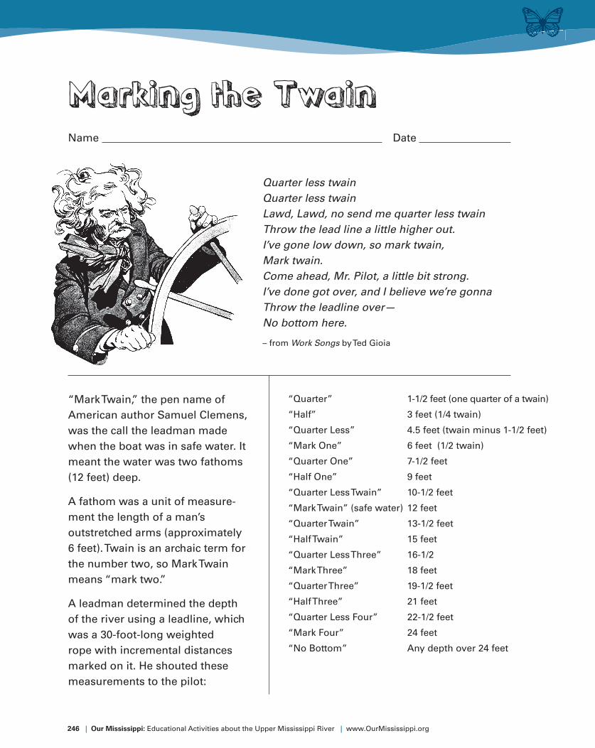
“Mark Twain,” the pen name of
American author Samuel Clemens,
was the call the leadman made
when the boat was in safe water. It
meant the water was two fathoms
(12 feet) deep.
A fathom was a unit of measure-
ment the length of a man’s
outstretched arms (approximately
6 feet). Twain is an archaic term for
the number two, so Mark Twain
means “mark two.”
A leadman determined the depth
of the river using a leadline, which
was a 30-foot-long weighted
rope with incremental distances
marked on it. He shouted these
measurements to the pilot:
“Quarter” 1-1/2 feet (one quarter of a twain)
“Half” 3 feet (1/4 twain)
“Quarter Less” 4.5 feet (twain minus 1-1/2 feet)
“Mark One” 6 feet (1/2 twain)
“Quarter One” 7-1/2 feet
“Half One” 9 feet
“Quarter Less Twain” 10-1/2 feet
“Mark Twain” (safe water) 12 feet
“Quarter Twain” 13-1/2 feet
“Half Twain” 15 feet
“Quarter Less Three” 16-1/2
“Mark Three” 18 feet
“Quarter Three” 19-1/2 feet
“Half Three” 21 feet
“Quarter Less Four” 22-1/2 feet
“Mark Four” 24 feet
“No Bottom” Any depth over 24 feet

www.OurMississippi.org | Our Mississippi: Educational Activities about the Upper Mississippi River | 247
24
25
23
22.5
21
20
19.5
18
17
16.5
15
14
13.5 12
11
10.5
9
8
7.5
6
5
4.5
3
2
1.5
2
2
8
10
3
34
Circle all the “marking the twain” measure-
ments on the map using the list on the
previous page. You should fi nd at least one
number for each measurement. Star all the
measurements that represent safe water.
All numbers represent water depth in feet.