monitoring of soil and nutrient losses in the sichuan ... · monitoring of soil and nutrient losses...
TRANSCRIPT
Monitoring of Soil and Nutrient Losses in the SichuanPurple Hilly Area in China
Erik Van Den Elsen1, Chen Yibing2, Jannes Stolte1, Shi Xuezheng3 and Coen Ritsema1
1Wageningen-UR, ALTERRA, Green World Research, Dept. Soil and Land Use,P.O. Box 47, 6700 AA Wageningen, Netherlands
Fax: +31 317 419000E-mail: H.G.M. van den [email protected]
Sichuan Academy of Agricultural Sciences, 20 Jingjusi road, Chengdu, Sichuan, 610066 P.R ChinaInstitute of Soil Sciences, Chinese Academy of Sciences, P.O. box 821, 71 East Beijing road Nanjing,
Jiangsu, 210008 P.R. China
Abstract: The Hilly Purple area of the Sichuan Basin is one of the most important agriculturalareas in Western China. This area has been degraded by constant soil erosion, which hasreached 3,035 t/km2 (Luo Xiachuan, 1992). Soil erosion has direct negative effects on theproductivity of the land by loss of nutrients, water and soil. This loss of productivity affects thefarmer’s income. Also, it increases the pollution and siltation of the Yangtze river, causingseveral problems downstream. The EROCHINUT project has started in 1998 with the overallobjective to develop a new methodology to improve land and water management on farm andwatershed level in the current socio-economic situation by integrated use of participatory andsoil erosion and nutrient modelling techniques. An integrated farm and watershed managementapproach will be used for this purpose. Within the 7km2 large watershed, a catchment isselected for the soil erosion modelling work. Within this catchment, three sub-catchments wereselected, having their own characteristic mixture of crop fields and hillslopes. In the outlet ofthese three sub-catchments flumes were built in order to measure the outflow during rain eventscausing runoff. These flumes were equipped with automatic samplers and ultrasonic levelsensors that measured the water level and took water samples. These samples were analysedand sediment and nutrient concentration were determined. The results from these analyses wereused in the physically based LISEM model (De Roo et al., 1992) to quantify the losses of soiland water.Keywords: soil erosion, monitoring, farmers participation, nutrient losses
1 Introduction
The Hilly Purple area of the Sichuan Basin is one of the most important agricultural areas in WesternChina. This area has been degraded by constant soil erosion, which has reached 3,035 t/km2 (LuoXiachuan, 1992). Soil erosion has direct negative effects on the productivity of the land by loss ofnutrients, water and soil. This loss of productivity affects the farmer’s income. Also, it increases thepollution and siltation of the Yangtze river, causing several problems downstream.
The EROCHINUT project has started in 1998 with the overall objective to develop a newmethodology to improve land and water management on farm and watershed level in the current socio-economic situation by integrated use of participatory and soil erosion and nutrient modelling techniques.An integrated farm and watershed management approach will be used for this purpose. The researchwatershed for the socio-economical study encompasses about 7 km2. Within this watershed, a catchmentis selected for the soil erosion modelling work. This catchment is about 9 ha in size. The physically basedmodel LISEM (De Roo et al., 1992) is used to quantify the losses of soil and water. The model wasextended with a nutrient module to quantify the losses of nutrients. In order to calibrate the LISEM model,quantification of water discharge was needed as well as quantities for sediment and nutrient losses.
12th ISCO Conference Beijing 2002
60
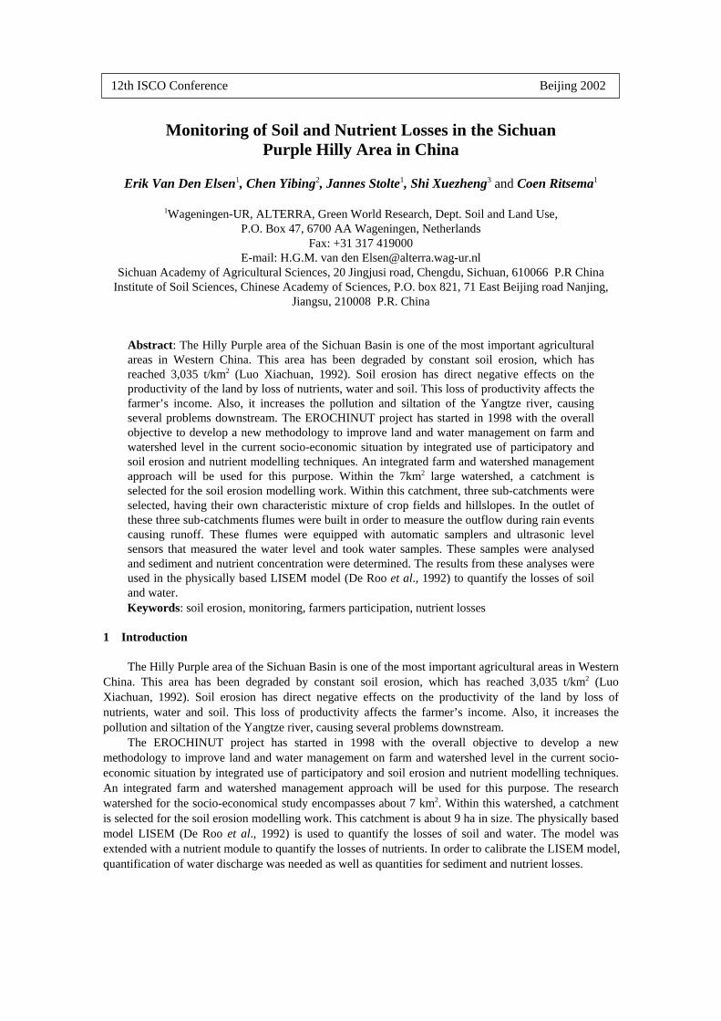
Fig. 1 Location of the project area within the Sichuan Province
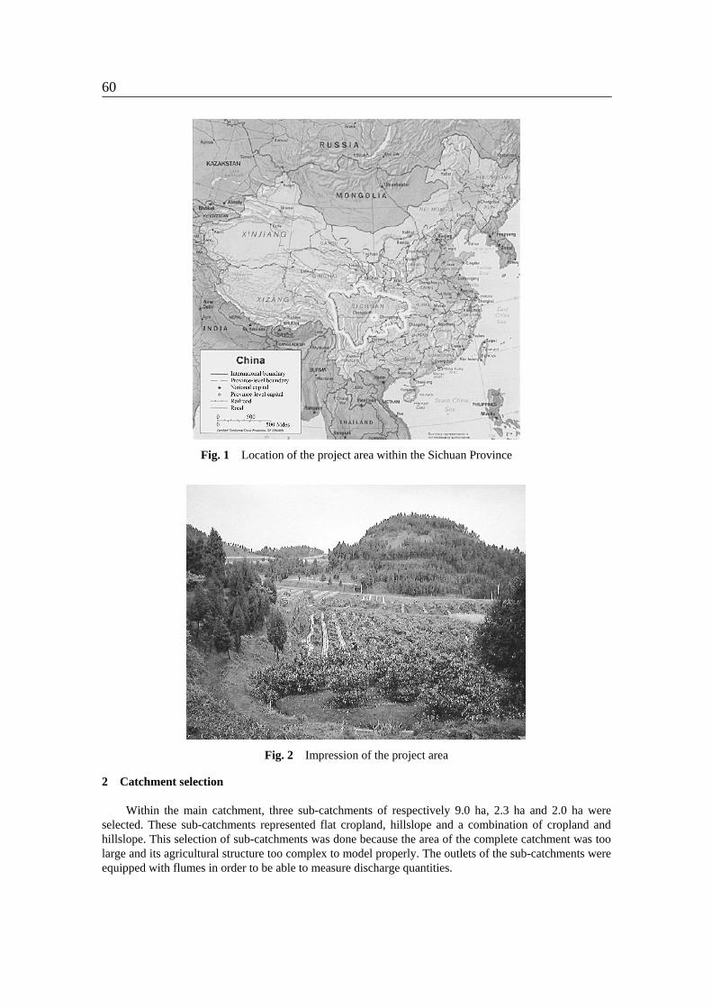
Fig. 2 Impression of the project area
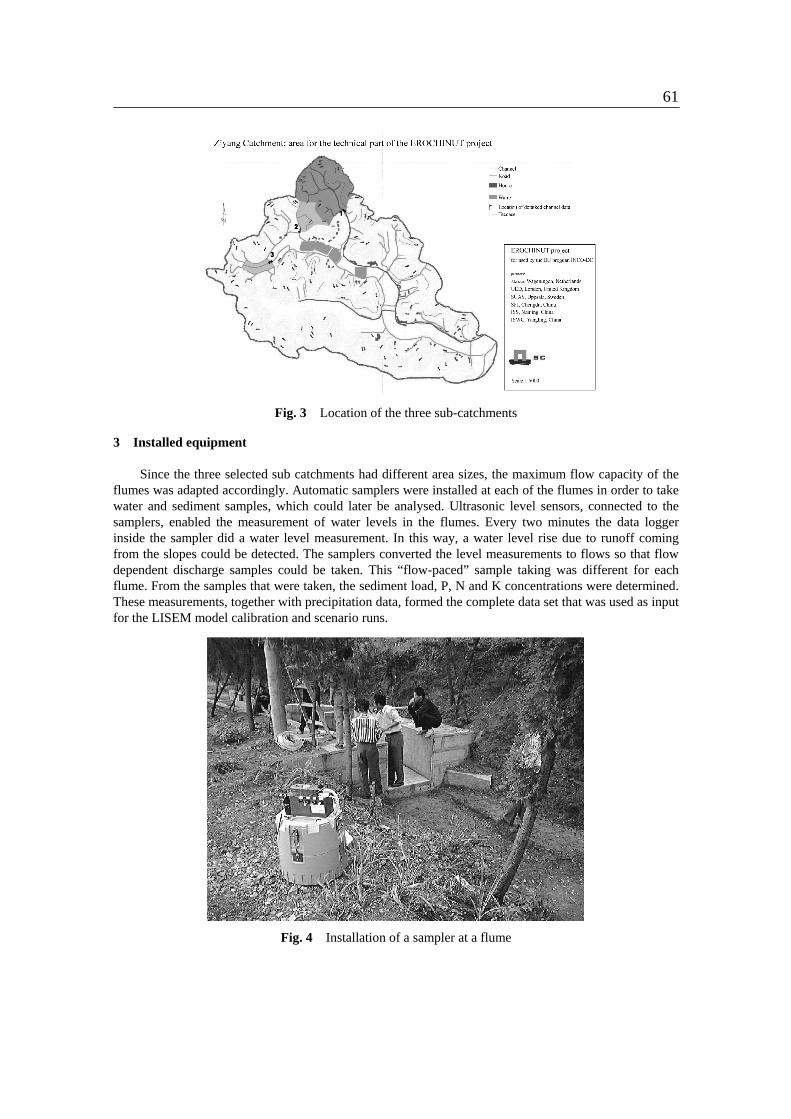
2 Catchment selection
Within the main catchment, three sub-catchments of respectively 9.0 ha, 2.3 ha and 2.0 ha wereselected. These sub-catchments represented flat cropland, hillslope and a combination of cropland andhillslope. This selection of sub-catchments was done because the area of the complete catchment was toolarge and its agricultural structure too complex to model properly. The outlets of the sub-catchments wereequipped with flumes in order to be able to measure discharge quantities.
61
Fig. 3 Location of the three sub-catchments
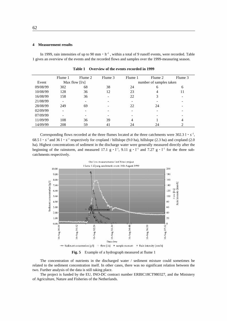
3 Installed equipment
Since the three selected sub catchments had different area sizes, the maximum flow capacity of theflumes was adapted accordingly. Automatic samplers were installed at each of the flumes in order to takewater and sediment samples, which could later be analysed. Ultrasonic level sensors, connected to thesamplers, enabled the measurement of water levels in the flumes. Every two minutes the data loggerinside the sampler did a water level measurement. In this way, a water level rise due to runoff comingfrom the slopes could be detected. The samplers converted the level measurements to flows so that flowdependent discharge samples could be taken. This “flow-paced” sample taking was different for eachflume. From the samples that were taken, the sediment load, P, N and K concentrations were determined.These measurements, together with precipitation data, formed the complete data set that was used as inputfor the LISEM model calibration and scenario runs.
Fig. 4 Installation of a sampler at a flume
62
4 Measurement results
In 1999, rain intensities of up to 90 mm h–1 , within a total of 9 runoff events, were recorded. Table1 gives an overview of the events and the recorded flows and samples over the 1999-measuring season.
Table 1 Overview of the events recorded in 1999
Flume 1 Flume 2 Flume 3 Flume 1 Flume 2 Flume 3Event Max flow [l/s] number of samples taken
09/08/99 302 68 38 24 6 610/08/99 128 36 12 23 4 1116/08/99 158 36 - 22 3 -21/08/99 - - - - - -28/08/99 249 69 - 22 24 -02/09/99 - - - - - -07/09/99 - - - - - -11/09/99 108 36 39 4 1 414/09/99 208 59 41 24 24 2
Corresponding flows recorded at the three flumes located at the three catchments were 302.3 l s–1,68.5 l s–1 and 36 l s–1 respectively for cropland / hillslope (9.0 ha), hillslope (2.3 ha) and cropland (2.0ha). Highest concentrations of sediment in the discharge water were generally measured directly after thebeginning of the rainstorm, and measured 17.1 g l–1, 9.11 g l–1 and 7.27 g l–1 for the three sub-catchments respectively.
Fig. 5 Example of a hydrograph measured at flume 1
The concentration of nutrients in the discharged water / sediment mixture could sometimes berelated to the sediment concentration itself. In other cases, there was no significant relation between thetwo. Further analysis of the data is still taking place.
The project is funded by the EU, INO-DC contract number ERBIC18CT980327, and the Ministeryof Agriculture, Nature and Fisheries of the Netherlands.

63
Fig.6 Nutrient analysis of the samples taken in flume 1 at the 10 August 1999 event
References
Luo Xiachuan, 1992. The environment of the agricultural resource in the purple hilly area and itscontinued agricultural development. In: final report of EC project “Strengthening the soil and waterconservation techniques in Sichuan Province”.
De Roo, A.P.J., C.G. Wesseling and C.J. Ritsema. 1996. LISEM: a single event physically basedhydrological and soil erosion model for drainage basins 1. Theory, input and output. Hydrologicalprocesses, volume 10(8): 1107-1118.