mitigation of volcanic hazards - department of … of volcanic hazards ge 4150- natural hazards....
TRANSCRIPT
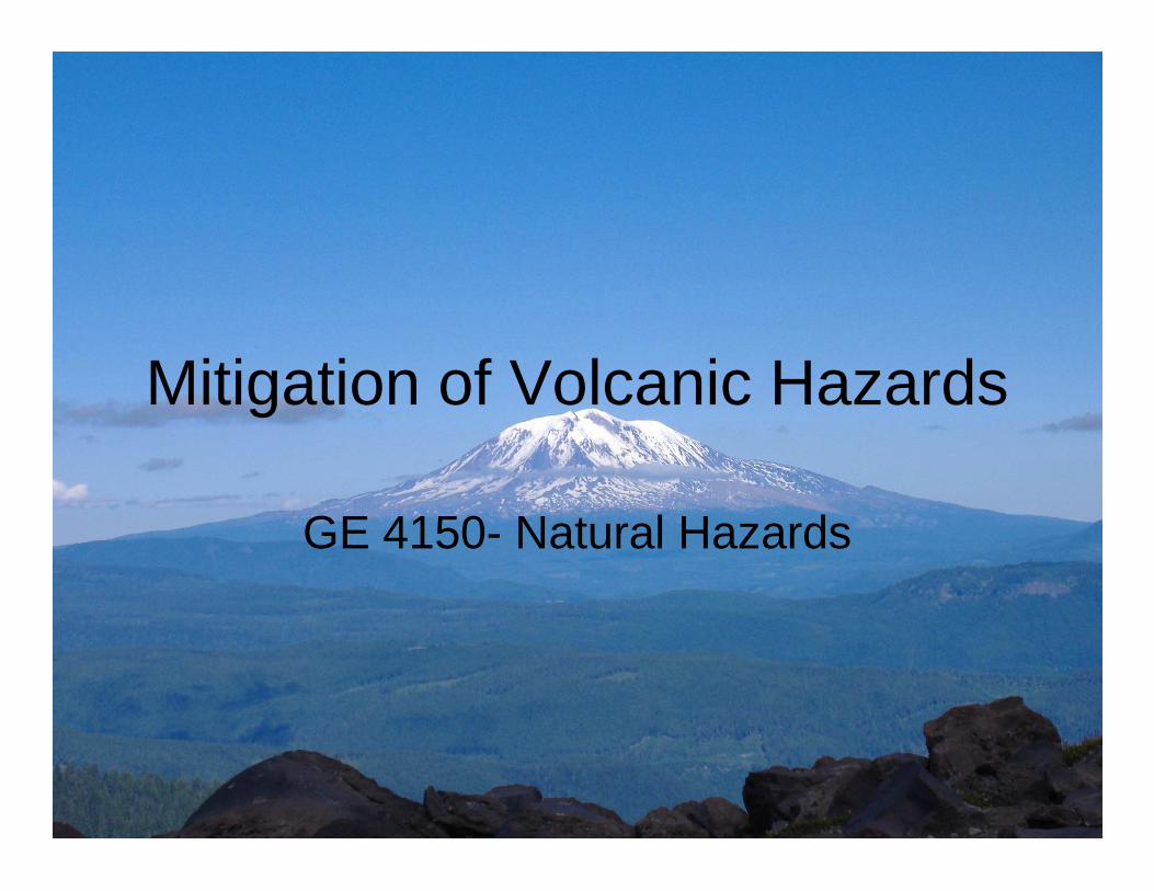
Mitigation of Volcanic Hazards
GE 4150- Natural Hazards
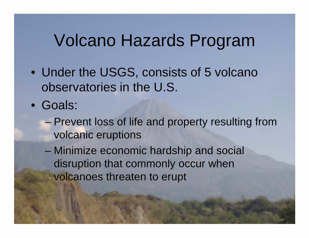
Volcano Hazards Program
• Under the USGS, consists of 5 volcano observatories in the U.S.
• Goals:– Prevent loss of life and property resulting from – Prevent loss of life and property resulting from
volcanic eruptions– Minimize economic hardship and social
disruption that commonly occur when volcanoes threaten to erupt

Volcano Hazards Program
• Identify potentially active volcanoes• Directly observing, measuring, and analyzing volcanic
unrest• Studying and monitoring volcanic and hydrologic
processes• Reconstructing eruptive and erosional history of • Reconstructing eruptive and erosional history of
volcanoes• Studying effects of volcanic emissions• Preparing hazard maps• Coordinate with local officials• Communicate information about potential volcanic
hazards
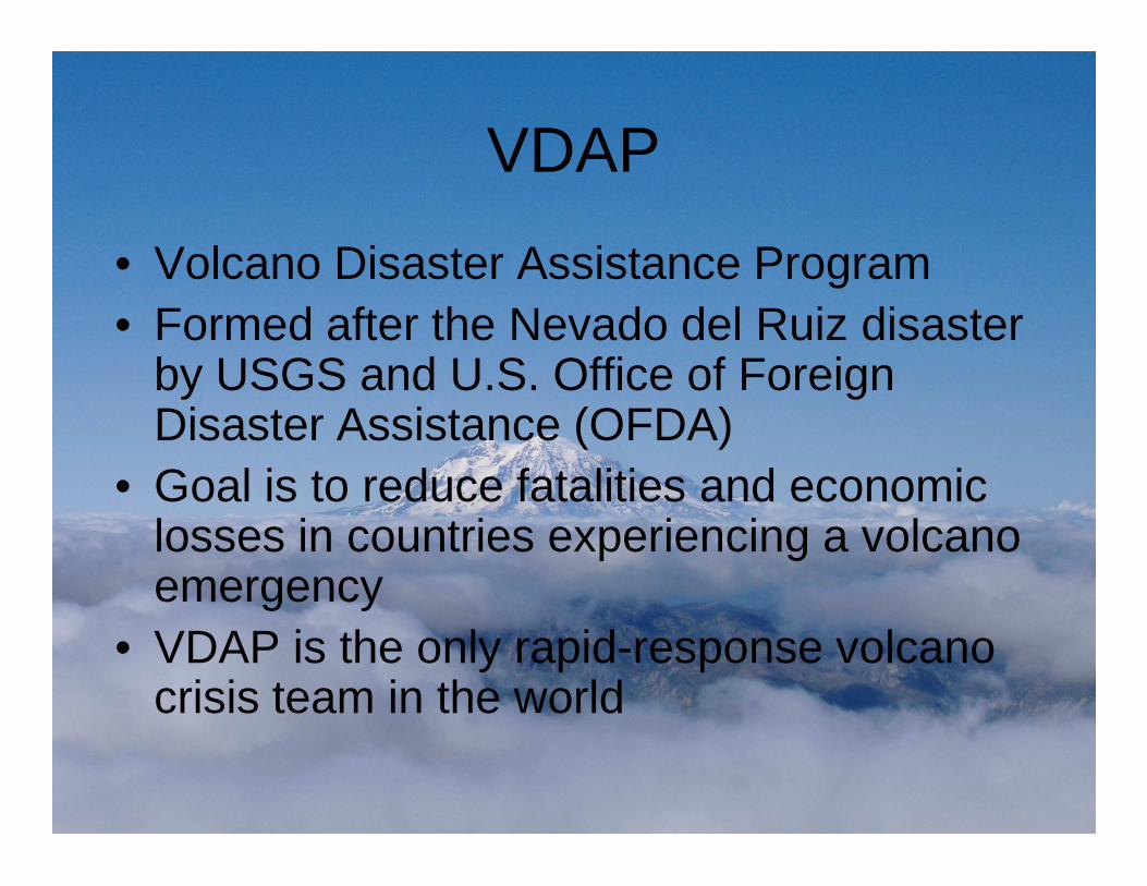
VDAP
• Volcano Disaster Assistance Program• Formed after the Nevado del Ruiz disaster
by USGS and U.S. Office of Foreign Disaster Assistance (OFDA)Disaster Assistance (OFDA)
• Goal is to reduce fatalities and economic losses in countries experiencing a volcano emergency
• VDAP is the only rapid-response volcano crisis team in the world

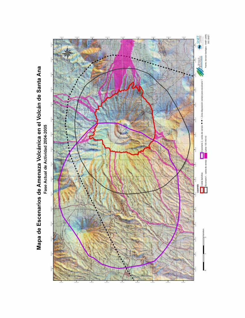
Risk Communication
• Work with public officials• Provide information on possible hazards• Plan with the local agencies prior to an eruption,
inform of possible hazards in the regioninform of possible hazards in the region• Communicate with the media• Hold regular meetings to update hazard
information• Create hazard maps to show extend of possible
hazards
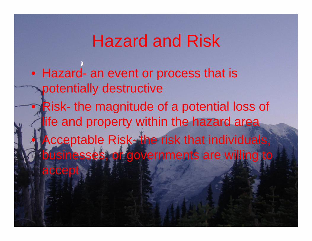
Hazard and Risk
• Hazard- an event or process that is potentially destructive
• Risk- the magnitude of a potential loss of life and property within the hazard arealife and property within the hazard area
• Acceptable Risk- the risk that individuals, businesses, or governments are willing to accept
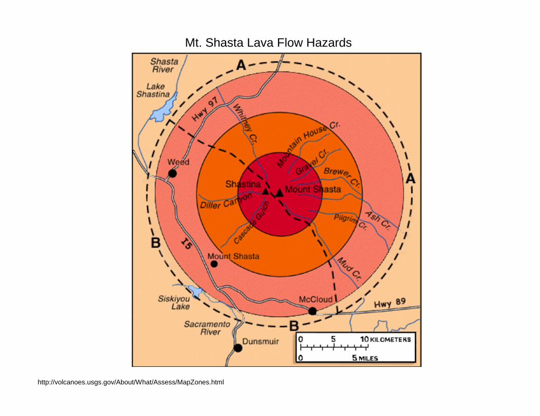
Mt. Shasta Lava Flow Hazards
http://volcanoes.usgs.gov/About/What/Assess/MapZones.html
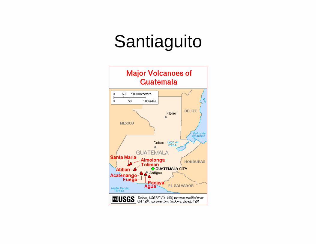
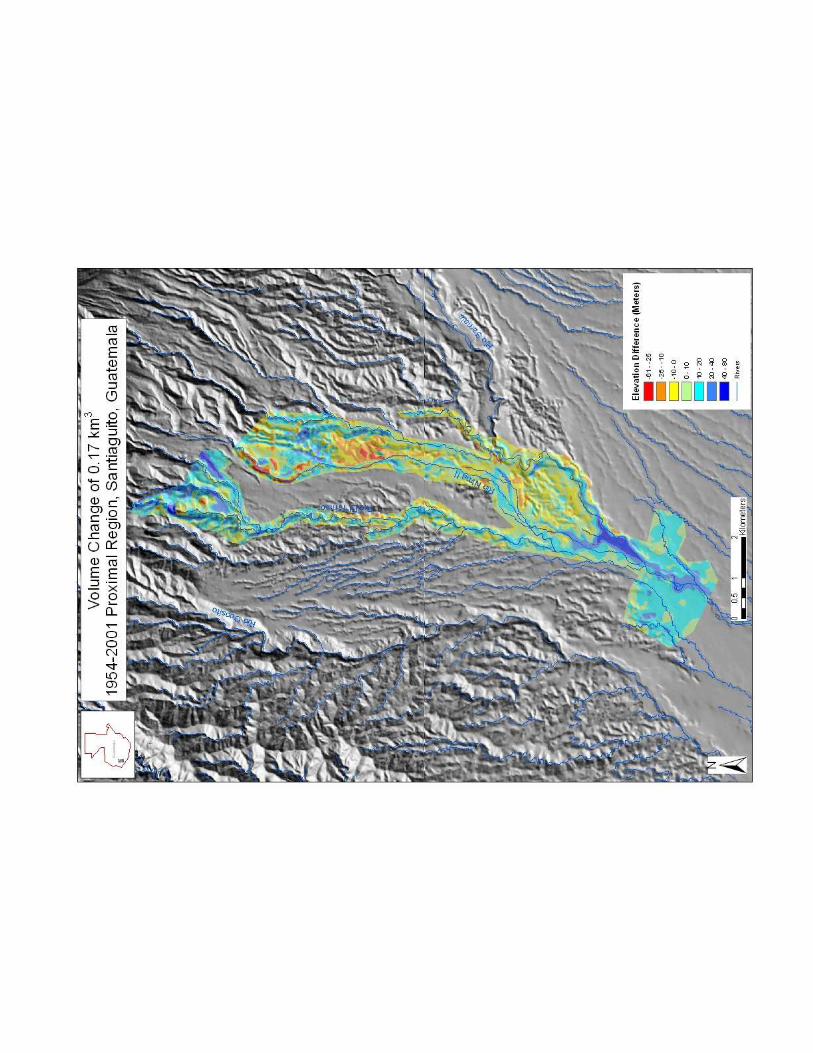
Santiaguito
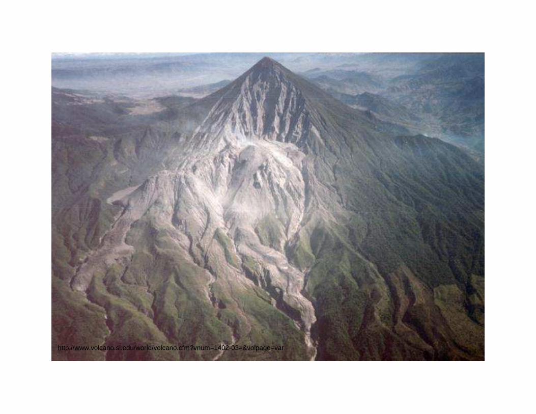
http://www.volcano.si.edu/world/volcano.cfm?vnum=1402-03=&volpage=var

1954 DEM 2001 DEM
Eruption Rates
• Eruption rates can be determined by using Digital Elevation Models (DEM’s)
• In this study three DEM’s from 1954, 2001, and 2005 were compared and analyzed for volume 2005 were compared and analyzed for volume changes.
• By studying volume changes within the volcanic environment we can see where the activity has taken place on the volcano as well as areas that are affected downstream (ex. lahars)

1.Subtracts the 2001 image from the 1954 image
and creates a new DEM showing differences.
2. Creates a DEM of positive and negative changes (one which shows values above 0 and one showing values below 0).
3. Calculates the volume of the positive and negative changesThese are then subtracted to obtain the volume change/ eruption rate.


Conclusion
• By studying the eruption rates at Santiaguito we can determine patterns in activity allowing us to better understand the volcano in future eruptions. the volcano in future eruptions.
• DEM’s are another way to determine volume changes and are an extremely useful tool in determining eruption rates over time.


Courtesy of Rudiger Escobar Wolf