volcano monitoring based on: usgs volcano hazards program
TRANSCRIPT
Volcano monitoringBased on: USGS Volcano Hazards program
http://volcanoes.usgs.gov/activity/methods/index.php

Volcano monitoring methods
Designed to detect and measure changes caused by magma movement beneath a volcano
Rising magma typically cause:– Seismic events– Swelling or subsidence of the summit or
flank of a volcano– Release of volcanic gases
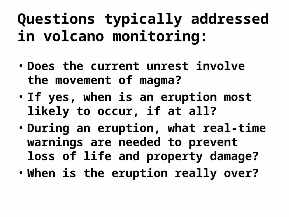
Questions typically addressed in volcano monitoring:
• Does the current unrest involve the movement of magma?
• If yes, when is an eruption most likely to occur, if at all?
• During an eruption, what real-time warnings are needed to prevent loss of life and property damage?
• When is the eruption really over?
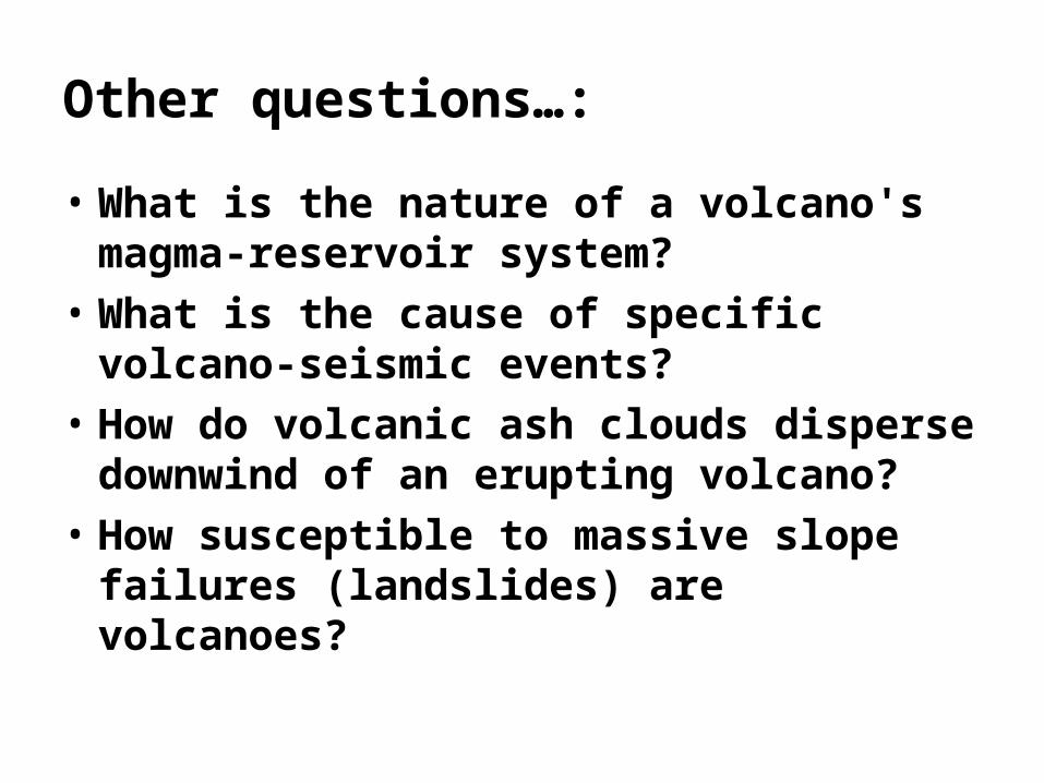
Other questions…:
• What is the nature of a volcano's magma-reservoir system?
• What is the cause of specific volcano-seismic events?
• How do volcanic ash clouds disperse downwind of an erupting volcano?
• How susceptible to massive slope failures (landslides) are volcanoes?
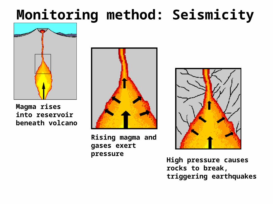
Monitoring method: Seismicity
Magma rises into reservoir beneath volcano
Rising magma and gases exert pressure
High pressure causes rocks to break, triggering earthquakes

• Earthquake activity beneath a volcano almost always increases before an eruption
• When magma and gases move they either cause rocks to break (results in HIGH-FREQUENCY earthquakes)
• Or they can cause cracks to vibrate (results in LOW-FREQUENCY earthquakes or continuous shaking called volcanic tremors)

• Most volcanic-related earthquakes are less than a magnitude 2 or 3 and occur less than 10 km beneath a volcano.
• The earthquakes tend to occur in swarms consisting of dozens to hundreds of events

Webicorder record for Redoubt volcano, March 27, 2009


Monitoring method: Ground deformation
• The surface of a volcano often changes shape when magma moves beneath it or rises into its cone
• The ground can change shape by rising up, subsiding, tilting, or forming bulges
Illustration by B. Myers and S. Brantley
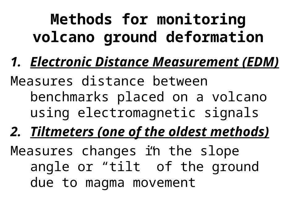
Methods for monitoring volcano ground deformation
1. Electronic Distance Measurement (EDM)
Measures distance between benchmarks placed on a volcano using electromagnetic signals
2. Tiltmeters (one of the oldest methods)
Measures changes in the slope angle or “tilt” of the ground due to magma movement

3. Global Positioning System (GPS)
Measures horizontal as well as vertical ground motions using satellite transmission
Signals from at least 4 satellites is essential for accuracy
More accurate and convenient that EDM

4. Satellite Radar Inferometry (INSAR)
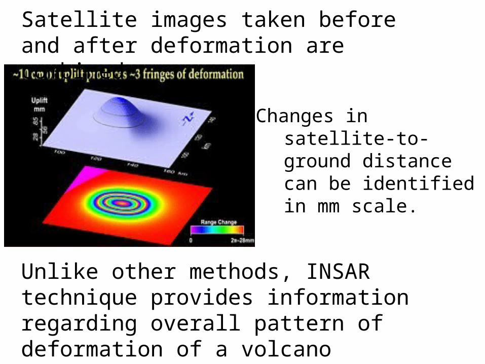
Changes in satellite-to-ground distance can be identified in mm scale.
Unlike other methods, INSAR technique provides information regarding overall pattern of deformation of a volcano
Satellite images taken before and after deformation are combined