sea level rise summit 2013, fort lauderdale, fl - florida center
TRANSCRIPT
This research was supported in part by NOAA Center for
Sponsored Coastal Ocean Research grant NA10NOS4780146
The Coastal Dynamics of Sea Level Rise: A Case Study in the Northern Gulf of Mexico Sonia H. Stephens ([email protected]),1 Scott C. Hagen (Science PI),1 Karim Alizad,1 Brian Batten,2 Matthew Bilskie,1 Denise E. DeLorme,1 Wenrui Huang,3 Megan Leslie,1 James T. Morris,4
Davina Passeri,1 Dave Ruple (Application PI),5 Jerry Sparks,2 Aaron Thomas,1 Josh Solomon,1 Linda Walters,1 Dingbao Wang,1 John F. Weishampel,1 Gour-Tsyh (George) Yeh1 1. University of Central Florida; 2. Dewberry, Inc.; 3. Florida State University; 4. University of South Carolina; 5. Grand Bay National Estuarine Research Reserve
Sea Level Rise Summit 2013, Fort Lauderdale, FL
Project Overview
The Ecological Effects of Sea Level Rise-Northern Gulf of Mexico (EESLR-NGOM)
project will model how sea level rise (SLR) interacts with coastal hydrology to
affect coastal species in three National Estuarine Research Reserves (Weeks
Bay, Grand Bay, and Apalachicola). This multidisciplinary project builds on
field and lab experiments and observations to inform a suite of predictive
computer models. Our computer models and field assessments will simulate
intertidal marsh evolution and help us project how marshes, seagrass beds,
and oyster reefs will respond to SLR.
The Issue
The combined impacts of rising sea level and tropical storms on Northern
Gulf coasts will present a dramatic threat to coastal communities and
ecosystems. The effects of SLR will be felt along coastal beaches and in
estuaries, affecting barrier islands, submerged aquatic vegetation beds, sand
and mud flats, oyster reefs, and tidal and freshwater wetlands.
Resource managers must be aware of the potential consequences of sea level
rise. They need the tools to help them adjust their plans accordingly to
protect and preserve the resources under their care.
In order to understand and respond to this complex issue, multidisciplinary
expertise is needed: coastal engineers, civil engineers, landscape ecologists,
marsh ecologists, marine biologists, ecohydrologists, and social scientists.
Coastal Hydrodynamics
Hydrodynamic model results will let us combine various SLR predictions with
ecology models, and then extrapolate how both SLR and extreme events might
impact coastal regions in the future:
We develop models to simulate tides, wind waves, and hurricane storm
surge for the Mississippi, Alabama and Florida Panhandle coasts and
floodplains.
We use existing models of hydrologic circulation and transport from the
watershed (SWAT & WASH123D) to the sea (ADCIRC-2DDI & POM), including
waves (SWAN). We also include information from existing bathymetric and
topographic data (e.g., LiDAR), field and laboratory experiments, and USGS
land use projections.
We simulate tides, wind waves, and hurricane storm surge for the
Mississippi, Alabama and Florida Panhandle coasts and floodplains.
We then assess hydrodynamic impacts for NOAA SLR scenario guidelines of
low, intermediate low, intermediate high and high SLR for 2050 & 2100.
Marsh Plants, Oysters, and Sea Level Rise
Field and laboratory experiments will help us create saltmarsh and oyster
habitat models:
“Marsh organs” simulate various levels of marsh elevation. Marsh plants
thrive when the ground that they grow on is located at a specific elevation
between mean high water (MHW) and mean low water (MLW). As sea level
rises, so do MHW and MLW. For grasses to remain productive, the buildup of
organics and inorganic sediments must keep up with the rate of SLR.
“Oyster ladders” test the effects of water level and sediments on oyster
growth and survival. We are also conducting laboratory experiments that
examine oyster sensitivity to sediment grain size and concentration.
The biological models will then be coupled to a tidal hydrodynamic model
and an overland flow and sediment model. This gives us the capability to
project species’ response for multiple climate change scenarios.
Working with Resource Managers
The final critical component is to ensure that project results are useful for
coastal resource managers. The team holds annual stakeholder workshops
with resource managers to help us:
Provide managers an overview of the project and products.
Learn about noted or expected ecological changes and concerns.
Solicit input on products’ content and format.
Identify gaps in products, user groups, and target audiences.
Connect the project with other ongoing SLR research and extension efforts.
Expected Results
The EESLR-NGOM project will provide support for managers as they need to:
Assess marshes, oyster reefs, and submerged aquatic vegetation.
Employ future coastal erosion rates and ensure wetland stability.
Identify restoration locations for marsh and oyster habitats.
Prioritize risk management strategies, including setback requirements and
guidelines for construction of breakwaters and other coastal infrastructure.
Assess water resource impacts and protection needs.
Marsh biomass model, Apalachicola NERR.
Relative change in storm surge if Hurricane Katrina had occurred
at one scenario of sea level rise.
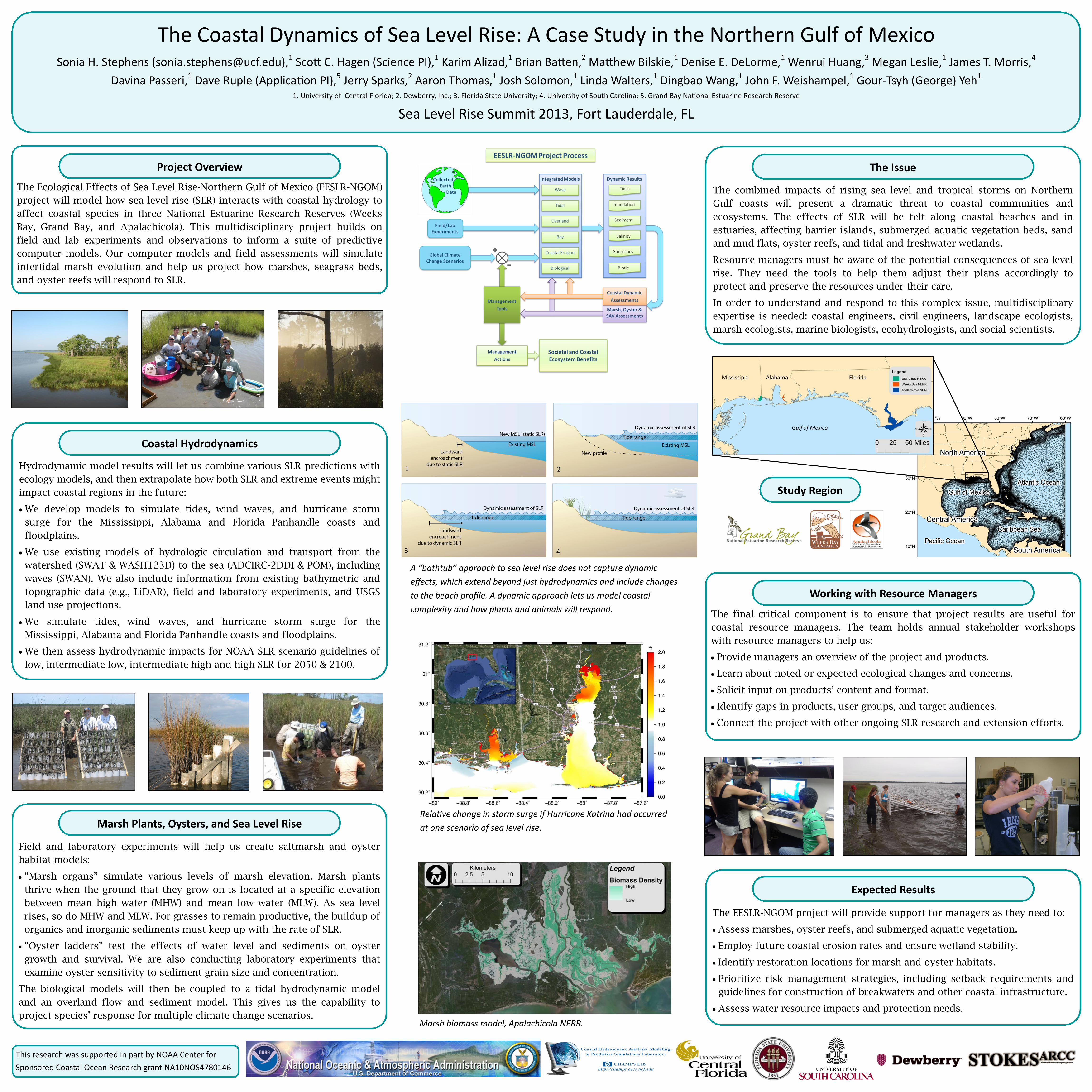
A “bathtub” approach to sea level rise does not capture dynamic
effects, which extend beyond just hydrodynamics and include changes
to the beach profile. A dynamic approach lets us model coastal
complexity and how plants and animals will respond.
Study Region
1 2
3 4