why asprs is key to geospatial professional … to geospatial professional ... sold the photoscan...
TRANSCRIPT

BY DR. DAVID F. MAUNE
Why ASPRS is Key to Geospatial Professional Development
I started my geospatial career as a First Lieutenant in Army topo-graphic engineer units in the early
1960s when stereo photogrammetry was still performed with analog Multiplex projectors. It could take 8 hours to perform relative orientation for a single pair of stereo aerial photos, and then we still had to perform absolute orientation before we could compile maps and start the scribing process for feature sepa-rates. Even with experienced German civilian photogrammetrists and cartog-raphers, we spent three years compiling maps of Munich, Germany when the Army brass decided that newer imagery needed to be flown and we should start all over again. Frustrating! Surely there must be a better way we asked ourselves. Back then, I had never heard of the American Society of Photogrammetry (ASP) that subsequently became the American Society for Photogrammetry and Remote Sensing (ASPRS). During my career, ASPRS has guided our way
from the analog photogrammetry era, to the analytical photogrammetry era, to the digital photogrammetry era, to what I’ll call today’s LiDAR era.
I first heard of ASP in 1968 when the Army sent me to The Ohio State University (OSU) to learn anything I could about how to map the Soviet Union without their knowledge and
consent. I was to study geodesy and photogrammetry. Back then, anyone could get maps of the U.S. free at gas stations, but maps of the Soviet Union were not available and were sometimes deliberately falsified to mislead NATO countries should we ever go to war. My professor at OSU, Dr. Dean Merchant, advised anyone wanting to make a
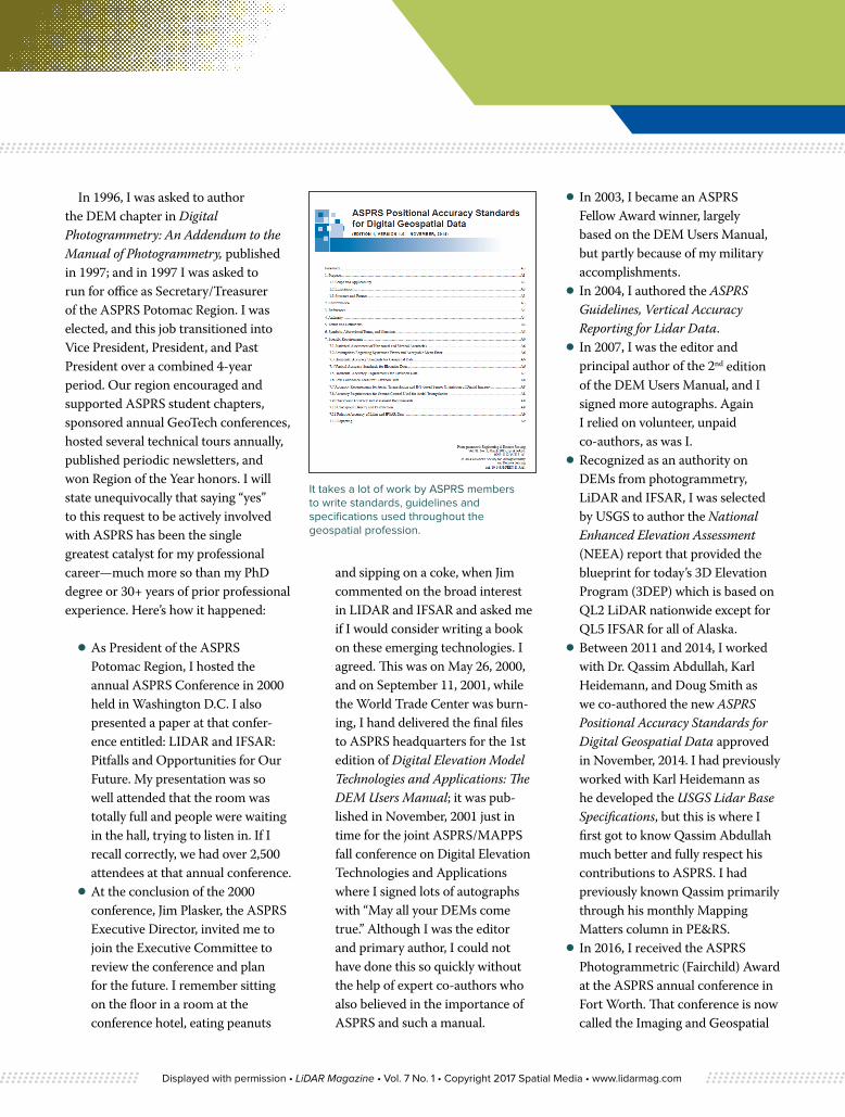
Talbert Abrams, the Father of Aerial Photography, presenting the Talbert Abrams Grand Award to the author in 1976. His pilot’s license was signed by Orville Wright.
“ Do you want to develop as a true professional and industry leader in the geospatial industry? This doesn’t happen by simply working in the industry for a long time. I found that my active participation in ASPRS has been the key to my career successes, and I suggest that ASPRS can also be the key to your career successes as well. ”
Displayed with permission • LiDAR Magazine • Vol. 7 No. 1 • Copyright 2017 Spatial Media • www.lidarmag.com
career of photogrammetry to become an active member of ASP and to get involved. I became an ASP member in 1968, paid my own dues out-of-pocket until 1992 when I joined Dewberry which paid my dues; so I’ve been a member continuously for nearly 50 years. If you want to develop as a true geospatial professional and industry leader, as I did, I learned that this would not happen simply by working in the industry for a long time. I found that my active participation in ASPRS has been the key to my career successes, and I suggest that ASPRS can also be the key to your career success as well.
At OSU, I studied geodesy under professors Richard Rapp and Ivan Mueller; photogrammetry under professors Dean Merchant and Sanjib Ghosh; and least squares adjustments under professor Urho Uotila. Dr. Dean Merchant, who is still active with ASPRS, had the most long-term influence on me. Not only did Dean get me involved
with ASPRS but his area of expertise (analytical photogrammetry) directly influenced my career choices. My MSc. thesis in 1970 was a study of the effects of vibrations on the resolution and acutance of imagery from a Zeiss RMK AR 15/23 (film) camera, using a vibration simulator at Wright Patterson Air Force Base. I often shutter thinking about what could have happened to Dean’s prize camera, because I literally shook the hell out of it, and it continued to perform. My PhD dissertation on photogrammetric self-calibration of scanning electron microscopes (SEMs) was considered to be pioneering research in digital photogrammetry in 1973 as it would be several decades before the advent of digital mapping cameras; SEMs were the primary form of digital imaging in the early 1970s.
The highlights of my PhD dissertation were published in Photogrammetric Engineering & Remote Sensing (PE&RS) and in 1976 I won ASPRS’ Talbert Abrams Grand Award. Born in 1896, Talbert Abrams, called the Father of Aerial Photography, was still active in 1976. He presented the award to me personally, took me to the bar to buy me a drink, and showed me his pilot’s license from 1926, signed by Orville Wright. How cool is that! He also stressed the importance of ASPRS, the reason why he funded this award.
During my 30 year military career, I encouraged my military colleagues to join and be active in ASPRS, and several thanked me for that advice. As Commander and Director of the U.S. Army Topographic Engineering Center (TEC), now the Army Geospatial Center (AGC), I was blessed to oversee TEC’s development of the Army’s Terrain Information Extraction System (TIES),
developed under TEC contracts with Intergraph Corp. and Helava Inc. that pioneered our industry’s transition from analytical to digital (softcopy) photogram-metry. Initially developed for government use, the TIES had two major components that subsequently became commercially available in the early 1990s through TEC’s technology transfer program. Z/I Imaging sold the Photoscan which converted hardcopy photos into high-resolution digital images; this was essential before the development of digital cameras a decade later. Based on software from TIES’ digital stereo photogrammetric workstation, BAE Systems sold, and continues to sell, Socet Set software which performs aerial triangulation from stereo digital imagery, generates digital elevation models, produces digital orthophotos, and extracts digital (vector) feature data. I’ve had nothing to do with any of the later releases of Socet Set, but my company (Dewberry) continues to use Socet Set today, not just for photogram-metry but also for lidargrammetry. Of course, as one of its greatest missions, PE&RS magazine keeps readers informed on the latest developments in hardware and software involved with photogram-metry and lidargrammetry.
After retiring from the Army and joining Dewberry in 1992, I became an ASPRS Certified Photogrammetrist in 1994. This certification is required to manage various government geospatial contracts including USGS’ Cartographic Services and Geospatial Products and Services Contracts which I have managed since 1998, and similar contracts with NOAA and USACE. Other colleagues are becoming ASPRS Certified Mapping Scientists, LiDAR, as this too is an emerging requirement for various LiDAR contracts.
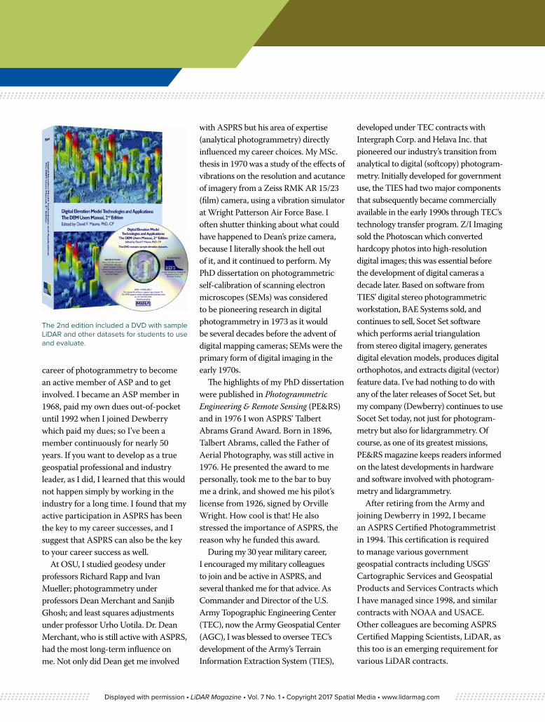
The 2nd edition included a DVD with sample LiDAR and other datasets for students to use and evaluate.
Displayed with permission • LiDAR Magazine • Vol. 7 No. 1 • Copyright 2017 Spatial Media • www.lidarmag.com
In 1996, I was asked to author the DEM chapter in Digital Photogrammetry: An Addendum to the Manual of Photogrammetry, published in 1997; and in 1997 I was asked to run for office as Secretary/Treasurer of the ASPRS Potomac Region. I was elected, and this job transitioned into Vice President, President, and Past President over a combined 4-year period. Our region encouraged and supported ASPRS student chapters, sponsored annual GeoTech conferences, hosted several technical tours annually, published periodic newsletters, and won Region of the Year honors. I will state unequivocally that saying “yes” to this request to be actively involved with ASPRS has been the single greatest catalyst for my professional career—much more so than my PhD degree or 30+ years of prior professional experience. Here’s how it happened:
⦁ As President of the ASPRS Potomac Region, I hosted the annual ASPRS Conference in 2000 held in Washington D.C. I also presented a paper at that confer-ence entitled: LIDAR and IFSAR: Pitfalls and Opportunities for Our Future. My presentation was so well attended that the room was totally full and people were waiting in the hall, trying to listen in. If I recall correctly, we had over 2,500 attendees at that annual conference.
⦁ At the conclusion of the 2000 conference, Jim Plasker, the ASPRS Executive Director, invited me to join the Executive Committee to review the conference and plan for the future. I remember sitting on the floor in a room at the conference hotel, eating peanuts
and sipping on a coke, when Jim commented on the broad interest in LIDAR and IFSAR and asked me if I would consider writing a book on these emerging technologies. I agreed. This was on May 26, 2000, and on September 11, 2001, while the World Trade Center was burn-ing, I hand delivered the final files to ASPRS headquarters for the 1st edition of Digital Elevation Model Technologies and Applications: The DEM Users Manual; it was pub-lished in November, 2001 just in time for the joint ASPRS/MAPPS fall conference on Digital Elevation Technologies and Applications where I signed lots of autographs with “May all your DEMs come true.” Although I was the editor and primary author, I could not have done this so quickly without the help of expert co-authors who also believed in the importance of ASPRS and such a manual.
⦁ In 2003, I became an ASPRS Fellow Award winner, largely based on the DEM Users Manual, but partly because of my military accomplishments.
⦁ In 2004, I authored the ASPRS Guidelines, Vertical Accuracy Reporting for Lidar Data.
⦁ In 2007, I was the editor and principal author of the 2nd edition of the DEM Users Manual, and I signed more autographs. Again I relied on volunteer, unpaid co-authors, as was I.
⦁ Recognized as an authority on DEMs from photogrammetry, LiDAR and IFSAR, I was selected by USGS to author the National Enhanced Elevation Assessment (NEEA) report that provided the blueprint for today’s 3D Elevation Program (3DEP) which is based on QL2 LiDAR nationwide except for QL5 IFSAR for all of Alaska.
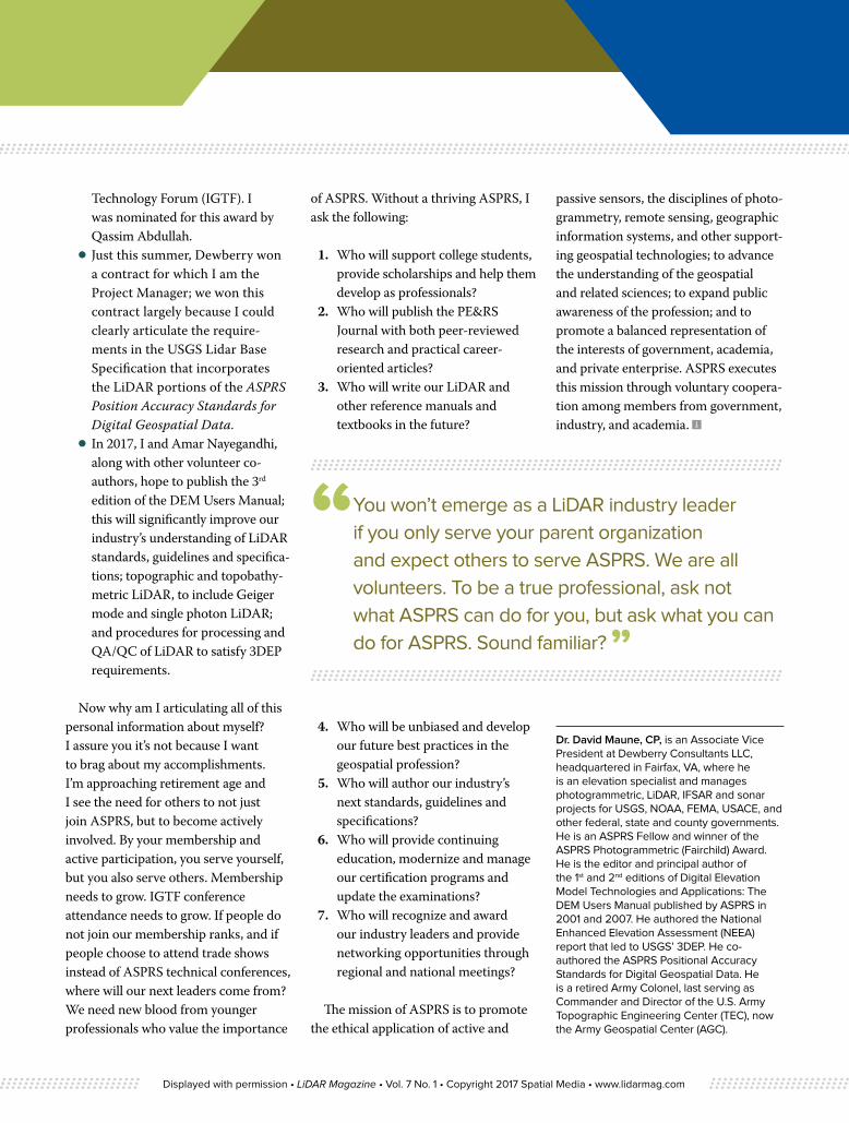
⦁ Between 2011 and 2014, I worked with Dr. Qassim Abdullah, Karl Heidemann, and Doug Smith as we co-authored the new ASPRS Positional Accuracy Standards for Digital Geospatial Data approved in November, 2014. I had previously worked with Karl Heidemann as he developed the USGS Lidar Base Specifications, but this is where I first got to know Qassim Abdullah much better and fully respect his contributions to ASPRS. I had previously known Qassim primarily through his monthly Mapping Matters column in PE&RS.
⦁ In 2016, I received the ASPRS Photogrammetric (Fairchild) Award at the ASPRS annual conference in Fort Worth. That conference is now called the Imaging and Geospatial
It takes a lot of work by ASPRS members to write standards, guidelines and specifications used throughout the geospatial profession.
Displayed with permission • LiDAR Magazine • Vol. 7 No. 1 • Copyright 2017 Spatial Media • www.lidarmag.com
Technology Forum (IGTF). I was nominated for this award by Qassim Abdullah.
⦁ Just this summer, Dewberry won a contract for which I am the Project Manager; we won this contract largely because I could clearly articulate the require-ments in the USGS Lidar Base Specification that incorporates the LiDAR portions of the ASPRS Position Accuracy Standards for Digital Geospatial Data.
⦁ In 2017, I and Amar Nayegandhi, along with other volunteer co-authors, hope to publish the 3rd edition of the DEM Users Manual; this will significantly improve our industry’s understanding of LiDAR standards, guidelines and specifica-tions; topographic and topobathy-metric LiDAR, to include Geiger mode and single photon LiDAR; and procedures for processing and QA/QC of LiDAR to satisfy 3DEP requirements.
Now why am I articulating all of this personal information about myself? I assure you it’s not because I want to brag about my accomplishments. I’m approaching retirement age and I see the need for others to not just join ASPRS, but to become actively involved. By your membership and active participation, you serve yourself, but you also serve others. Membership needs to grow. IGTF conference attendance needs to grow. If people do not join our membership ranks, and if people choose to attend trade shows instead of ASPRS technical conferences, where will our next leaders come from? We need new blood from younger professionals who value the importance
of ASPRS. Without a thriving ASPRS, I ask the following:
1. Who will support college students, provide scholarships and help them develop as professionals?
2. Who will publish the PE&RS Journal with both peer-reviewed research and practical career-oriented articles?
3. Who will write our LiDAR and other reference manuals and textbooks in the future?
4. Who will be unbiased and develop our future best practices in the geospatial profession?
5. Who will author our industry’s next standards, guidelines and specifications?
6. Who will provide continuing education, modernize and manage our certification programs and update the examinations?
7. Who will recognize and award our industry leaders and provide networking opportunities through regional and national meetings?
The mission of ASPRS is to promote the ethical application of active and
passive sensors, the disciplines of photo-grammetry, remote sensing, geographic information systems, and other support-ing geospatial technologies; to advance the understanding of the geospatial and related sciences; to expand public awareness of the profession; and to promote a balanced representation of the interests of government, academia, and private enterprise. ASPRS executes this mission through voluntary coopera-tion among members from government, industry, and academia.
Dr. David Maune, CP, is an Associate Vice President at Dewberry Consultants LLC, headquartered in Fairfax, VA, where he is an elevation specialist and manages photogrammetric, LiDAR, IFSAR and sonar projects for USGS, NOAA, FEMA, USACE, and other federal, state and county governments. He is an ASPRS Fellow and winner of the ASPRS Photogrammetric (Fairchild) Award. He is the editor and principal author of the 1st and 2nd editions of Digital Elevation Model Technologies and Applications: The DEM Users Manual published by ASPRS in 2001 and 2007. He authored the National Enhanced Elevation Assessment (NEEA) report that led to USGS’ 3DEP. He co-authored the ASPRS Positional Accuracy Standards for Digital Geospatial Data. He is a retired Army Colonel, last serving as Commander and Director of the U.S. Army Topographic Engineering Center (TEC), now the Army Geospatial Center (AGC).
“ You won’t emerge as a LiDAR industry leader if you only serve your parent organization and expect others to serve ASPRS. We are all volunteers. To be a true professional, ask not what ASPRS can do for you, but ask what you can do for ASPRS. Sound familiar? ”
Displayed with permission • LiDAR Magazine • Vol. 7 No. 1 • Copyright 2017 Spatial Media • www.lidarmag.com