3. ltd - british columbia
TRANSCRIPT
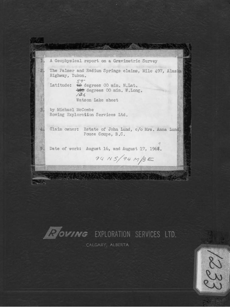
The Palmer and Radium
1 'Vatson Lake sheet
3. by h'ichaei I'icCo~be Roving Zxplor,~6i3n Services L t d .
4. Claim crmer: Estate of John Lund, c / o 3'rs. Anna Luncl. Pouce Coupe, B.C.
,-
5 . Date of work: August 16, and August 17, 1968.
Table of Contents
Gravimetric Survey
Field Procedures
Elevation and Horizontal Control
Meter Procedures
Computing Procedures
P lo t t ing
gaaend ix
Data computation sheets
Statement of Qual i f icat ions
Traverse map f l
Bouguer p ro f i l e s v
Page 1
L - EXPLORATION S E R V I C E S LTD. ( 5
!
GEOLOGICAL 520 - 5th Avenue S.W.
GRAVITY Calgar~. Alberta
SCINTILLOMETER Telephone 264-0895 ELECTROMAGNETOMETER C MAGNETOMETER
INDUCED POLARIZATION
GEOCHEMICAL
AIRBORN1 September 30 , 1967
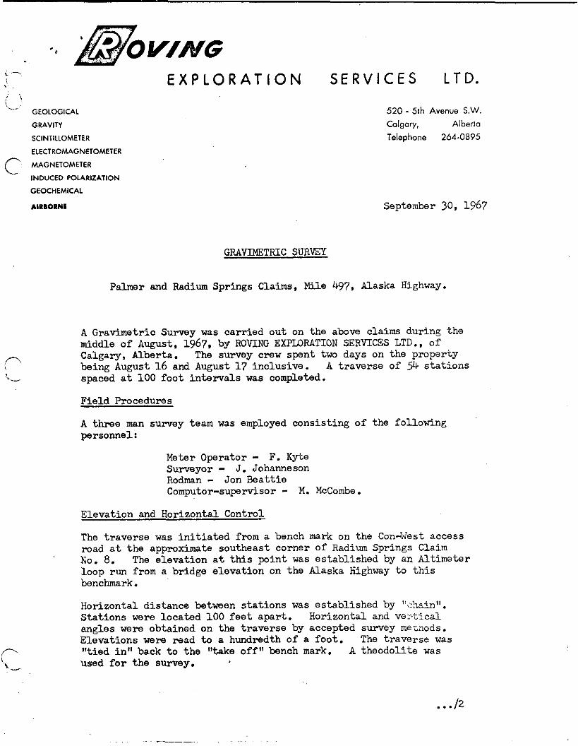
GRAVIMETRIC SURVEY
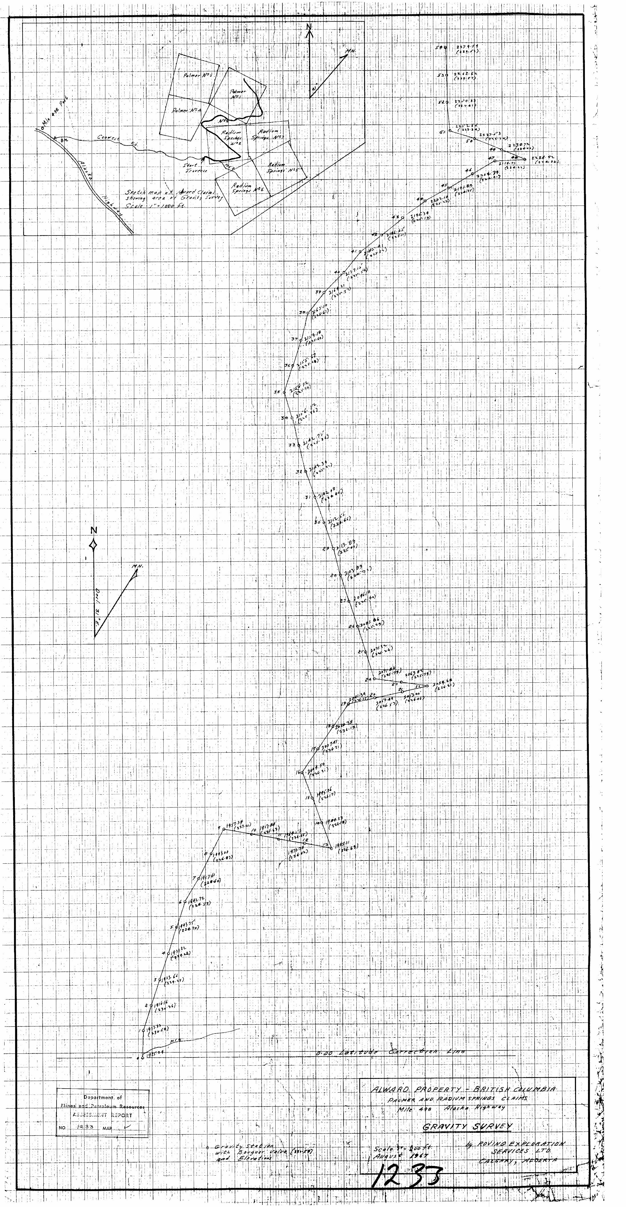
Palmer and Radium Springs Claims, Mile 4 7 , Alaska Highway.
A Gravimetric Survey was carried out on the above claims during the middle of August, 1967, by ROVING EXPLORATION SERVTCES LTD.. of Calgary, Alberta. The survey crew spent two days on the property being August 16 and August 17 inclusive. A traverse of 9 4 s t a t ions spaced a t 100 foot i n t e rva l s was completed.
Field Procedures
A three man survey team was employed consisting of the following personnel r
Meter O p r a t o r - F. Kyte Surveyor - J. Johanneson Rodman - Jon Beattie Computor-supervisor - M. McCombe.
Elevation and Horizontal Control
The t raverse was i n i t i a t e d f r o m a bench mark on the Con-West access road a t the approximate southeast corner of Radium Springs Claim No. 8. The elevation a t t h i s point was established by an Altimeter loop run from a bridge elevation on the Alaska Highway t o t h i s benchmark.
Horizontal distance between s ta t ions was established by "&.z~h". Stat ions were located 100 f e e t apar t . Horizontal and VG-t ical angles were obtained on the t raverse by accepted survey mfiznods. Elevations were read to a hundredth of a foot. The t raverse was Ittied i n " back t o the "take of f" bench mark. A theodolite was used f o r the survey.
, Meter Procedures
A Base Stat ion was established a t Stat ion #27 on the traverse l i n e . Observations were taken a t s t a t ions previously established by the survey crew. The meter was check?: p r io r t o s t a r t i n g the survey and was found t o be operating with'acceptable limits. The meter used was a Worden Master, Se r i a l No. 790, with a constant of K = 0.0846 ( 9 ) .
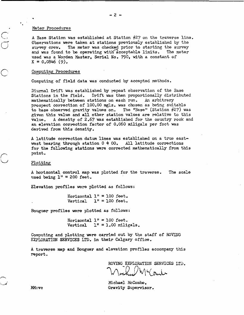
Computing Procedures
Computing of f i e l d data was conducted by accepted methods.
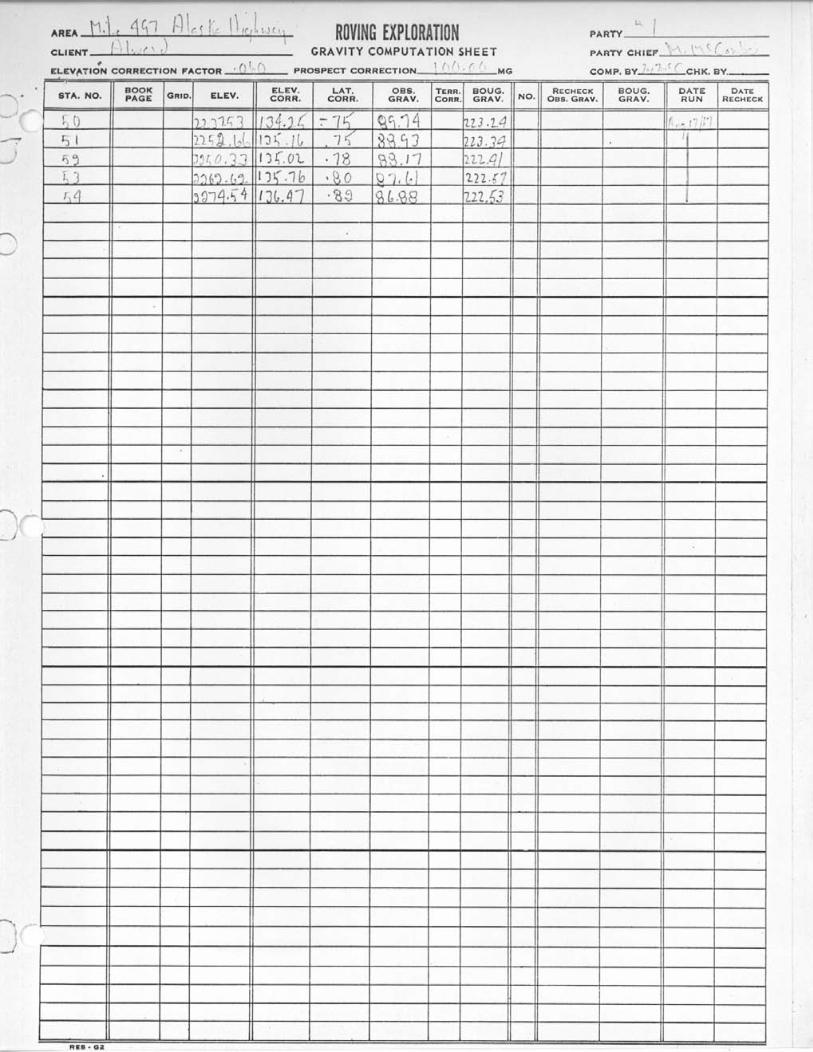
Diurnal Drift was established by repeat observation of the Base S ta t ions i n the f i e ld . D r i f t was then proportionally d is t r ibu ted mathematically between s ta t ions on each run. An a rb i t r a ry prospect correction of 100.00 mgls. was chosen a s being su i tab le t o base observed gravity values on. The "Base" (Station #27) was given t h i s value and a l l other s t a t ion values a r e r e l a t ive t o t h i s value. A densi ty of 2.67 was established f o r the country rock and an elevation correction f ac to r of 0.060 mil igals per foot was derived from t h i s density.
A l a t i t u d e correction datum l i n e s was established on a t rue east- west bearing through s t a t ion 0 $ 00. A l l l a t i t u d e corrections f o r the following s t a t ions were corrected mathematically from t h i s point.
P lo t t i ng
A horizontal control map was plot ted f o r the traverse. The scale used being 1" = 200 f ee t .
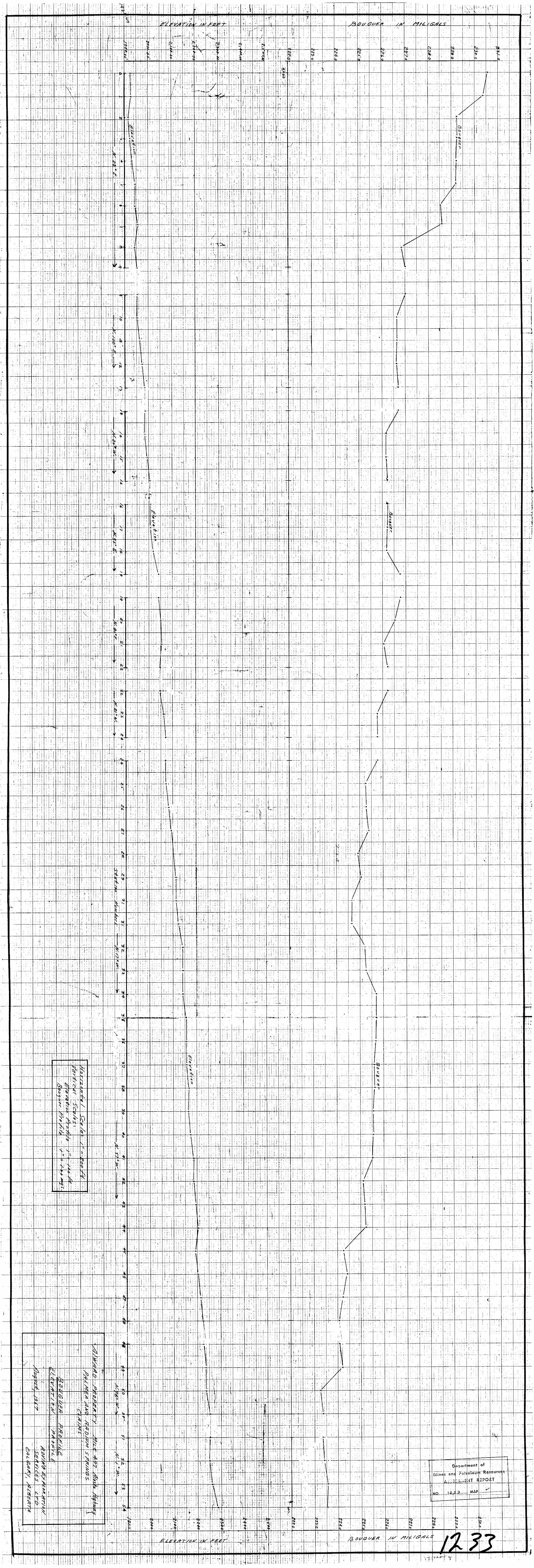
Elevation p ro f i l e s were plot ted a s follows:
Horizontal 1" = 100 f ee t . Vert ical 1" = 100 feet .
Bouguer p ro f i l e s were plot ted a s follows:
Horizontal 1" = 100 f e e t . Vert ical 1" = 1.00 miligals.
Computing and p lo t t ing were carr ied out by the s t a f f of ROVING EXPLORATION SERVICES LTD. i n t h e i r Calgary off ice .
A t raverse map and Bouguer and elevation prof i les accompany this report .
ROVING EXPLORATION SERVICES LTD.
2/ \Dh?. ib Michael McCombe, Gravity Supervisor.
r .
E X P L O R A T I O N S E R V I C E S LTD.
GEOLOGICAL
GRAVITY
SCINTILLOMETER
ELECTROMAGNETOMETER
MAGNETOMETER
- INDUCED POLARIZATION
GEOCHEMICAL
AIRBORNE
520 - 5th Avenue S.W.
Calgor/. Alberta Tele~hone 264-0895
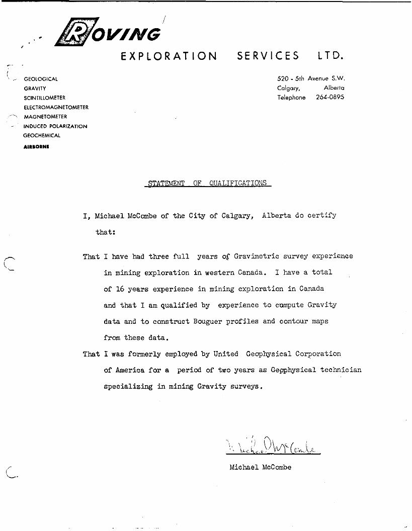
STATEMXNT OF QUALIFICATIONS
I, Michael McCmbe of the City of Calgary, Alberta do c e r t i f y
that :
That I have had three f u l l years of Gravimetric survey experience
i n mining exploration i n western Canada. I have a t o t a l
of 16 years experience i n mining exploration i n Canada
and t h a t I am qualified by experience t o cmpute Gravity
data and t o construct Bouguer prof i les and contour maps
from these data.
That I was formerly employed by United Geophysical Corporation
of America f o r a period of two years a s Gepphysical technician
special iz ing in mining Gravity surveys.
Michael McCombe
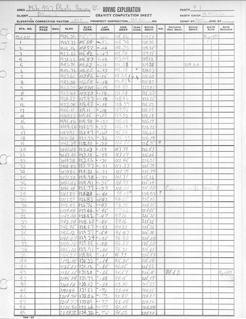
?, ! n I' ' , r ! '.)h, . ELEV,ATlON CORRECTION FACTOR ' PROSPECT CORRECTION MG COMP. BY CHK. BY.-
: , \ < I l.lI.+ [I,,,! ,,,,,: ROVING EXPLORATION AREA ' PARTY
CLIENT 1 1. .. ,,! GRAVITY COMPUTATION SHEET \ !, I [ , . , ' . PARTY CHIEF
: ; , , , , - " < , ~ ELEVCTI~N CORRECTION FACTOR . (1 '. r', PROSPECT CORRECTION MG COMP. BY ' CHK. BY.-
I I I I I I I/ /I I I/ I
*.. . m 2