environmental modeling environmental modeling and gis models
TRANSCRIPT
Environmental ModelingEnvironmental Modeling
Environmental Modeling and GIS Environmental Modeling and GIS ModelsModels
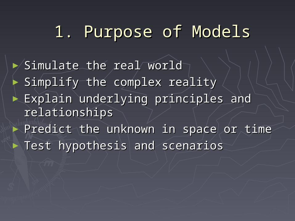
1. Purpose of Models1. Purpose of Models
► Simulate the real worldSimulate the real world► Simplify the complex realitySimplify the complex reality► Explain underlying principles and Explain underlying principles and
relationshipsrelationships► Predict the unknown in space or time Predict the unknown in space or time ► Test hypothesis and scenarios Test hypothesis and scenarios
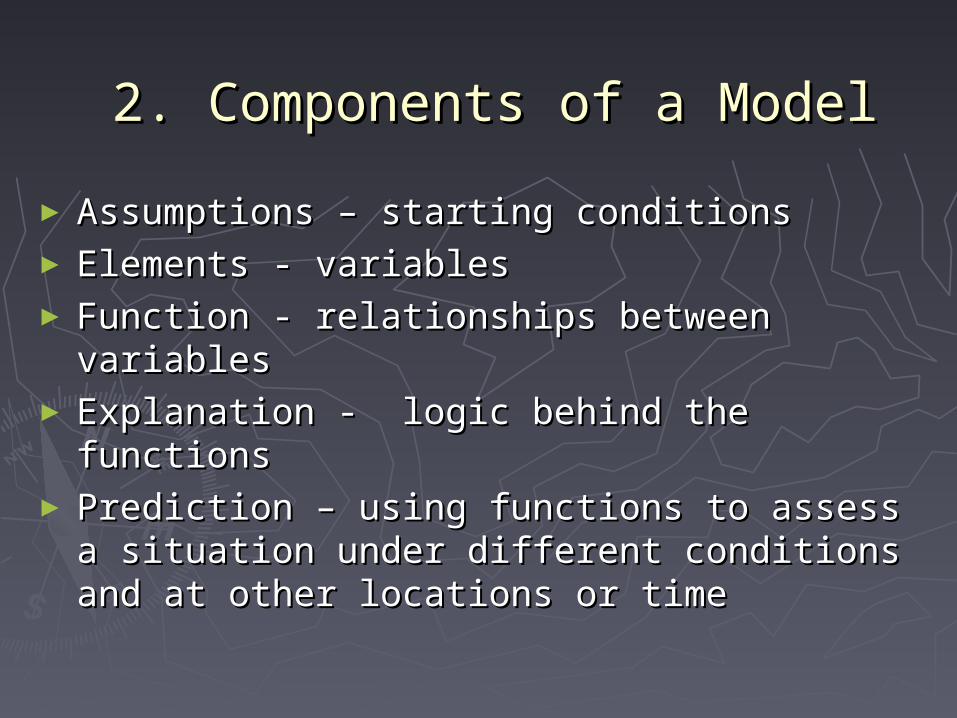
2. Components of a Model2. Components of a Model
► Assumptions – starting conditionsAssumptions – starting conditions► Elements - variablesElements - variables► Function - relationships between variablesFunction - relationships between variables► Explanation - logic behind the functionsExplanation - logic behind the functions► Prediction – using functions to assess a Prediction – using functions to assess a
situation under different conditions and at situation under different conditions and at other locations or timeother locations or time
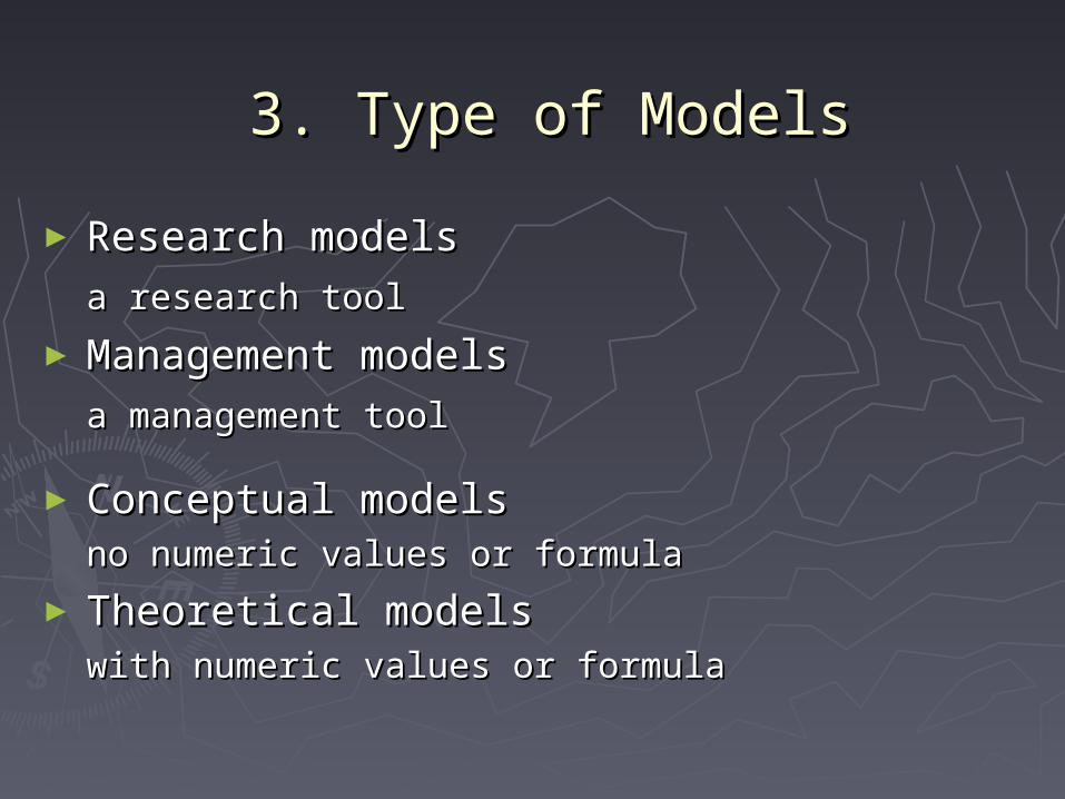
3. Type of Models3. Type of Models
► Research models Research models a research toola research tool
► Management models Management models a management toola management tool
► Conceptual models Conceptual models no numeric values or formulano numeric values or formula
► Theoretical models Theoretical models with numeric values or formulawith numeric values or formula
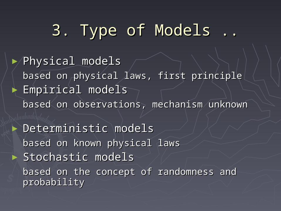
3. Type of Models ..3. Type of Models ..
► Physical models Physical models based on physical laws, first principlebased on physical laws, first principle
► Empirical models Empirical models based on observations, mechanism unknownbased on observations, mechanism unknown
► Deterministic modelsDeterministic models
based on known physical lawsbased on known physical laws► Stochastic models Stochastic models
based on the concept of randomness and based on the concept of randomness and probabilityprobability
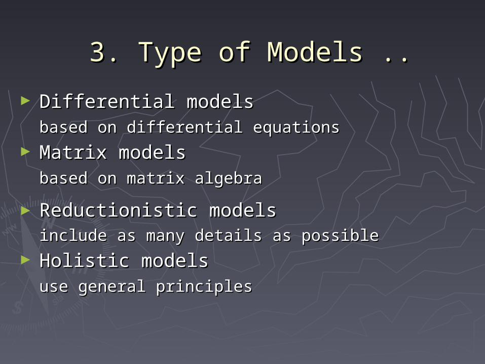
3. Type of Models ..3. Type of Models ..
► Differential modelsDifferential models based on differential equationsbased on differential equations
► Matrix modelsMatrix models based on matrix algebrabased on matrix algebra
► Reductionistic models Reductionistic models include as many details as possibleinclude as many details as possible
► Holistic modelsHolistic models use general principlesuse general principles
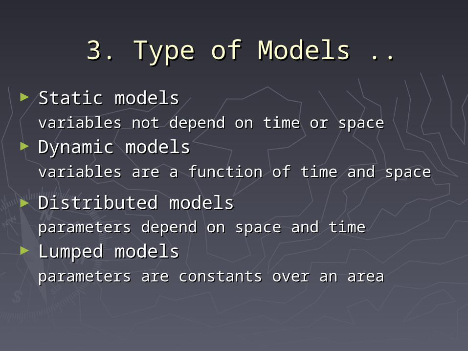
3. Type of Models ..3. Type of Models ..
► Static modelsStatic models variables not depend on time or spacevariables not depend on time or space
► Dynamic modelsDynamic models variables are a function of time and spacevariables are a function of time and space
► Distributed models Distributed models parameters depend on space and timeparameters depend on space and time
► Lumped modelsLumped models parameters are constants over an areaparameters are constants over an area
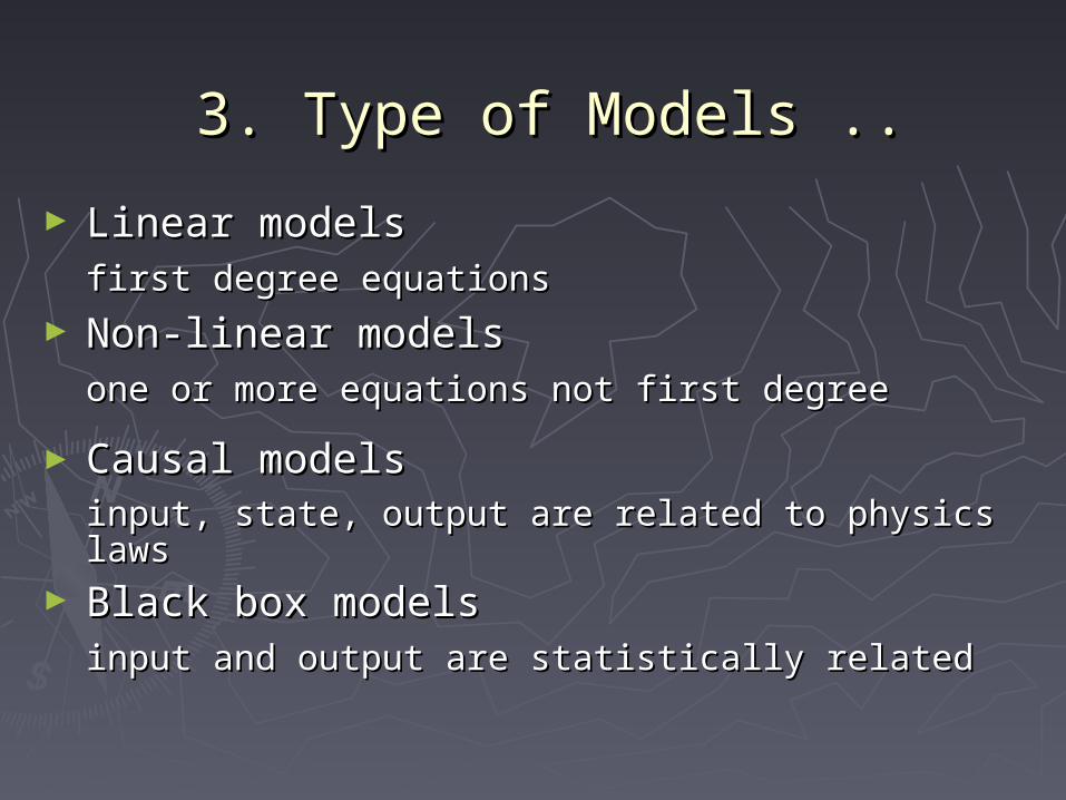
3. Type of Models ..3. Type of Models ..
► Linear modelsLinear models first degree equationsfirst degree equations
► Non-linear modelsNon-linear models one or more equations not first degreeone or more equations not first degree
► Causal models Causal models input, state, output are related to physics lawsinput, state, output are related to physics laws
► Black box modelsBlack box models input and output are statistically relatedinput and output are statistically related
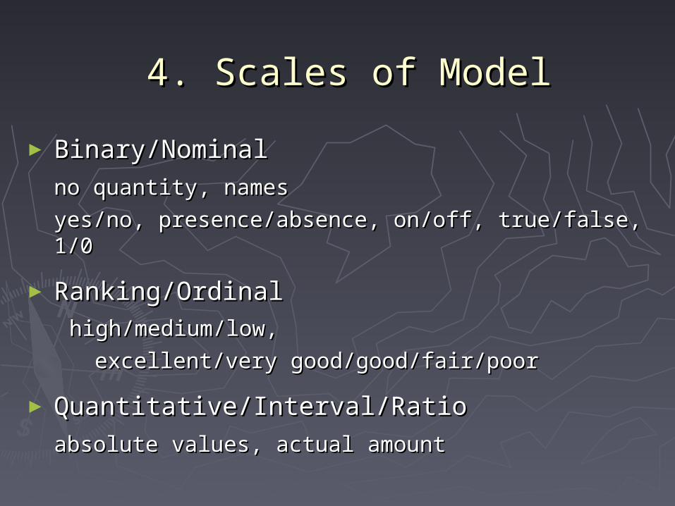
4. Scales of Model4. Scales of Model
► Binary/NominalBinary/Nominal
no quantity, namesno quantity, names
yes/no, presence/absence, on/off, true/false, 1/0yes/no, presence/absence, on/off, true/false, 1/0
► Ranking/OrdinalRanking/Ordinal
high/medium/low, high/medium/low,
excellent/very good/good/fair/poorexcellent/very good/good/fair/poor
► Quantitative/Interval/RatioQuantitative/Interval/Ratio
absolute values, actual amountabsolute values, actual amount
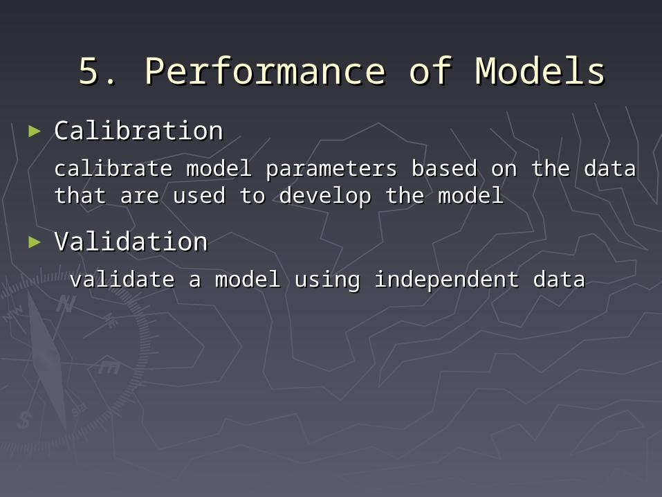
5. Performance of Models5. Performance of Models► CalibrationCalibration
calibrate model parameters based on the data that calibrate model parameters based on the data that are used to develop the modelare used to develop the model
► ValidationValidation
validate a model using independent datavalidate a model using independent data
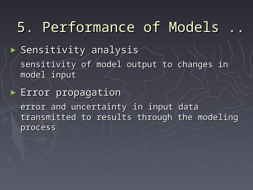
5. Performance of Models ..5. Performance of Models ..► Sensitivity analysisSensitivity analysis
sensitivity of model output to changes in model inputsensitivity of model output to changes in model input
► Error propagationError propagationerror and uncertaintyerror and uncertainty in input data transmitted to in input data transmitted to results through the modeling processresults through the modeling process
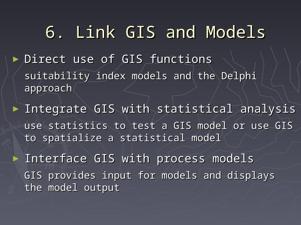
6. Link GIS and Models6. Link GIS and Models► Direct use of GIS functionsDirect use of GIS functions
suitability index models and the Delphi approachsuitability index models and the Delphi approach
► Integrate GIS with statistical analysisIntegrate GIS with statistical analysisuse statistics to test a GIS model or use GIS to use statistics to test a GIS model or use GIS to spatialize a statistical modelspatialize a statistical model
► Interface GIS with process modelsInterface GIS with process modelsGIS provides input for models and displays the model GIS provides input for models and displays the model outputoutput
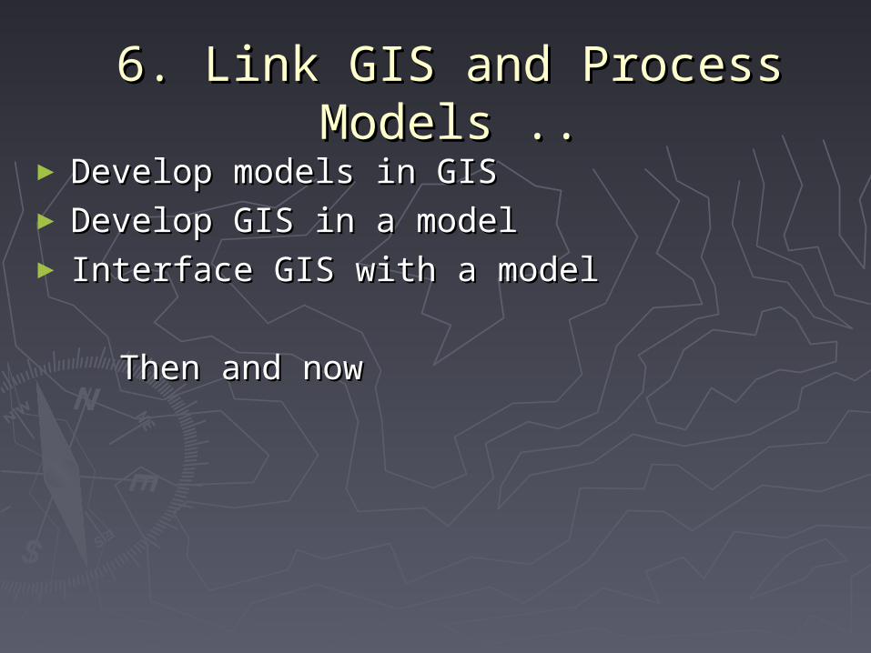
6. Link GIS and Process Models ..6. Link GIS and Process Models ..► Develop models in GISDevelop models in GIS► Develop GIS in a modelDevelop GIS in a model► Interface GIS with a modelInterface GIS with a model
Then and nowThen and now
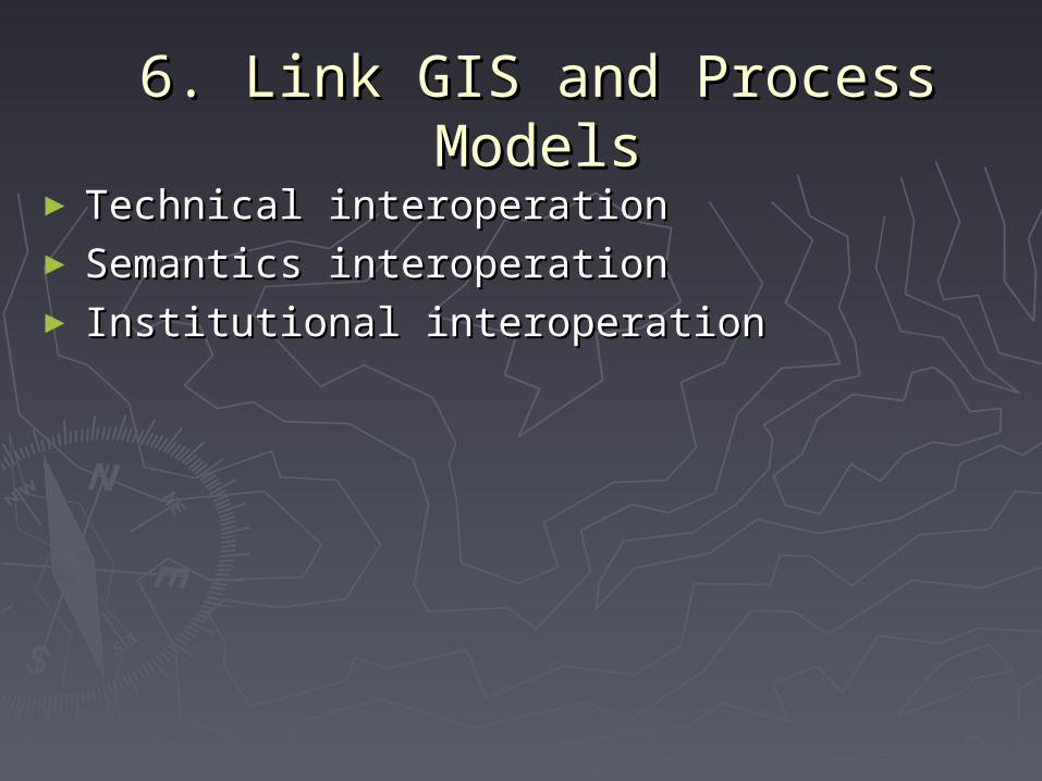
6. Link GIS and Process Models6. Link GIS and Process Models► Technical interoperationTechnical interoperation► Semantics interoperationSemantics interoperation► Institutional interoperation Institutional interoperation
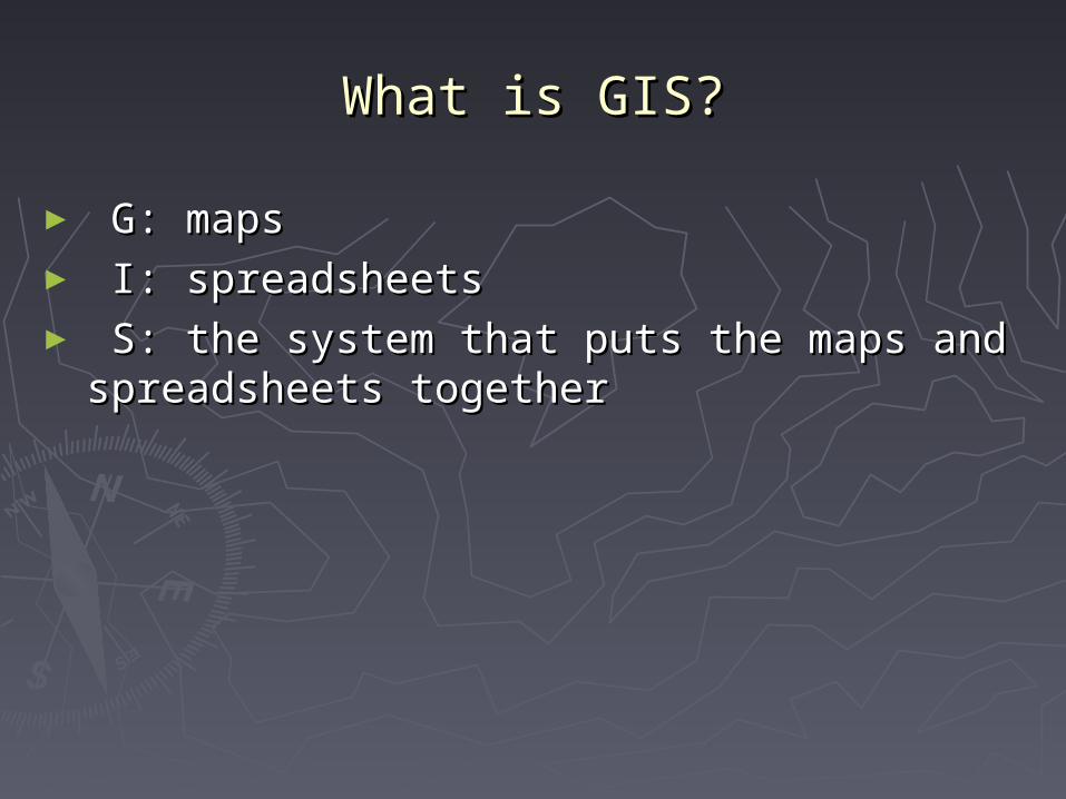
What is GIS?What is GIS?
► G: mapsG: maps► I: spreadsheetsI: spreadsheets► S: the system that puts the maps and S: the system that puts the maps and
spreadsheets togetherspreadsheets together
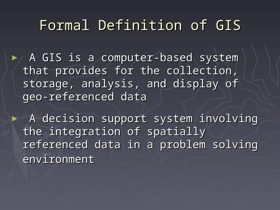
Formal Definition of GISFormal Definition of GIS
► A GIS is a computer-based system that A GIS is a computer-based system that provides for the collection, storage, analysis, provides for the collection, storage, analysis, and display of geo-referenced data and display of geo-referenced data
► A decision support system involving the A decision support system involving the integration of spatially referenced data in a integration of spatially referenced data in a problem solving environmentproblem solving environment
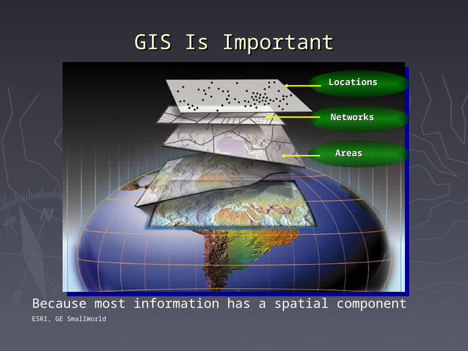
GIS Is ImportantGIS Is Important
Because most information has a spatial componentESRI, GE SmallWorld
LocationsLocations
NetworksNetworks
AreasAreas
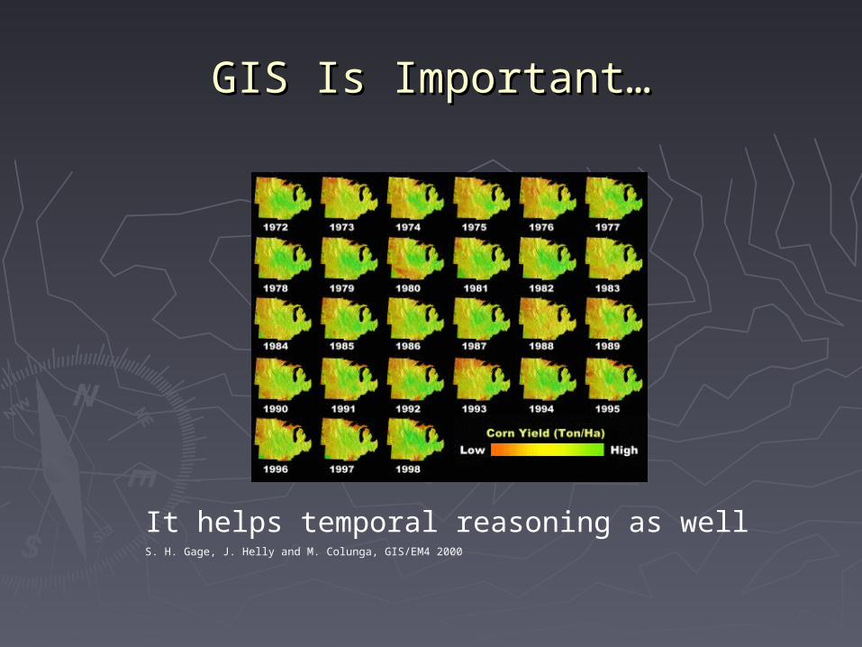
GIS Is Important…GIS Is Important…
It helps temporal reasoning as wellS. H. Gage, J. Helly and M. Colunga, GIS/EM4 2000
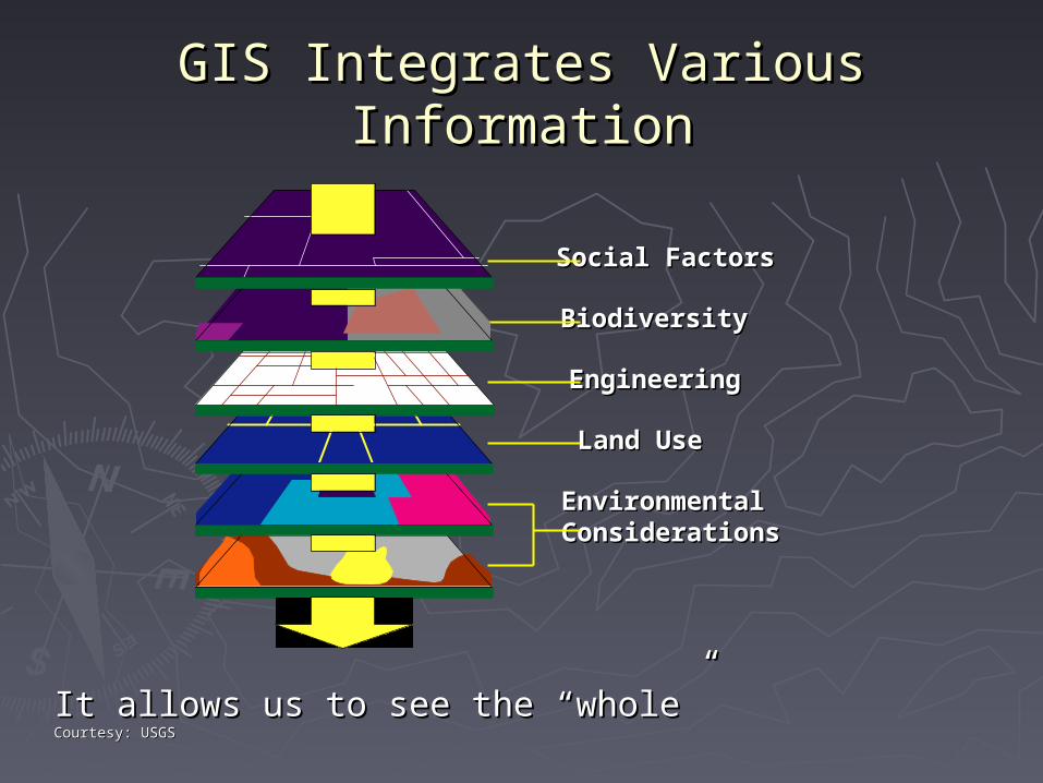
Social FactorsSocial Factors
BiodiversityBiodiversity
EngineeringEngineering
Land UseLand Use
EnvironmentalEnvironmentalConsiderationsConsiderations
It allows us to see the “whole”It allows us to see the “whole”Courtesy: USGSCourtesy: USGS
GIS Integrates Various InformationGIS Integrates Various Information
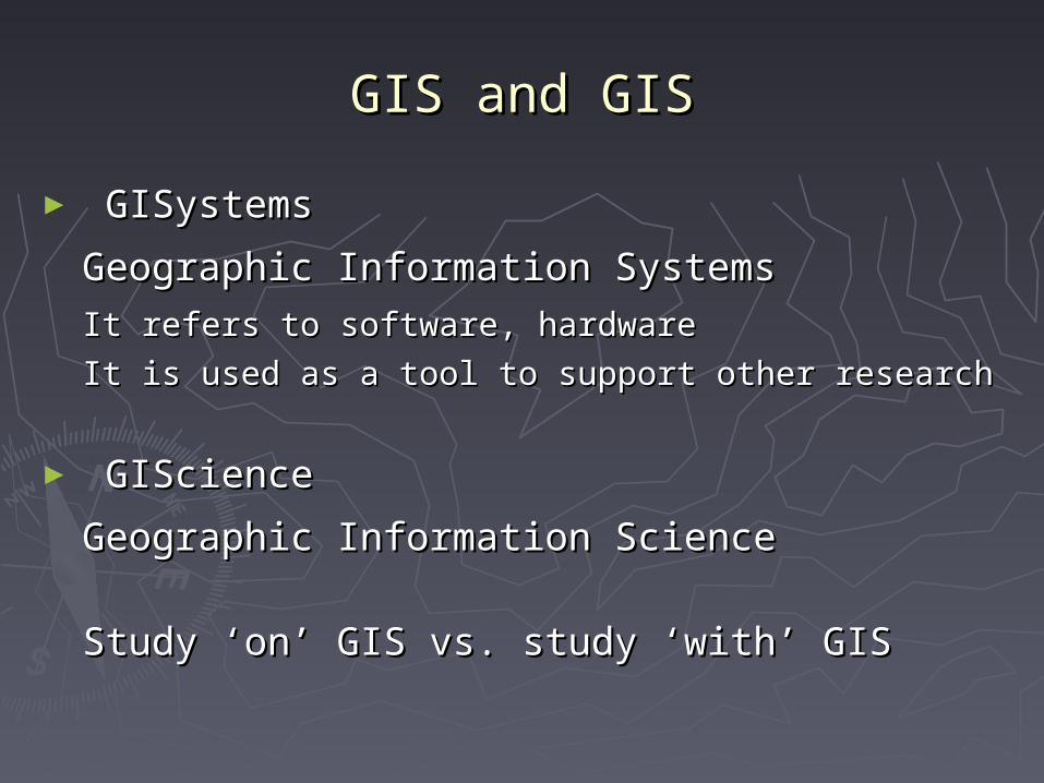
GIS and GISGIS and GIS
► GISystemsGISystems
Geographic Information SystemsGeographic Information Systems It refers to software, hardwareIt refers to software, hardware
It is used as a tool to support other researchIt is used as a tool to support other research
► GIScienceGIScience
Geographic Information ScienceGeographic Information Science
Study ‘on’ GIS vs. study ‘with’ GISStudy ‘on’ GIS vs. study ‘with’ GIS
Components in GISComponents in GIS
► Spatial locationsSpatial locations► AttributesAttributes► Topology Topology
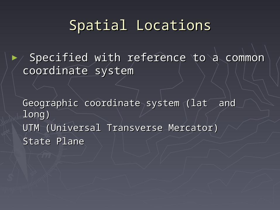
Spatial LocationsSpatial Locations
► Specified with reference to a common Specified with reference to a common coordinate systemcoordinate system
Geographic coordinate system (lat and long)Geographic coordinate system (lat and long)
UTM (Universal Transverse Mercator)UTM (Universal Transverse Mercator)
State PlaneState Plane
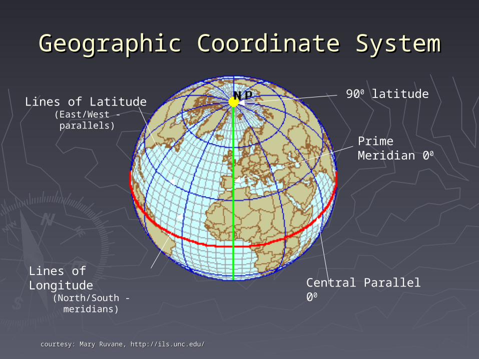
Geographic Coordinate SystemGeographic Coordinate System
courtesy: Mary Ruvane, http://ils.unc.edu/courtesy: Mary Ruvane, http://ils.unc.edu/
Lines of Longitude(North/South - meridians)
900 latitudeLines of Latitude
(East/West - parallels)
Central Parallel 00
Prime Meridian 00
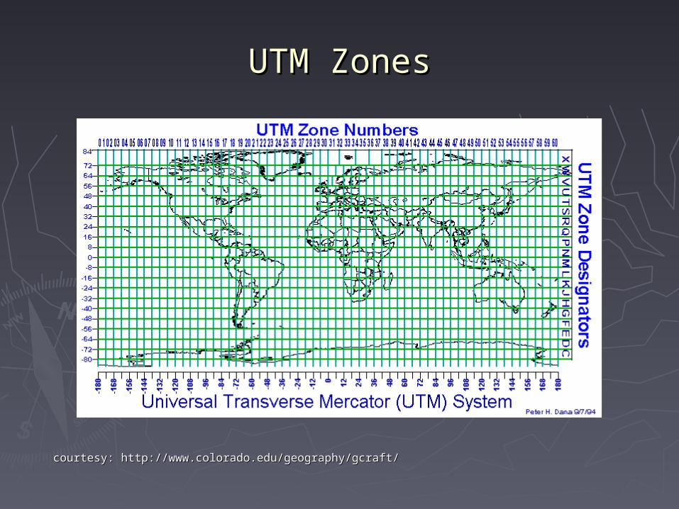
UTM ZonesUTM Zones
courtesy: http://www.colorado.edu/geography/gcraft/courtesy: http://www.colorado.edu/geography/gcraft/
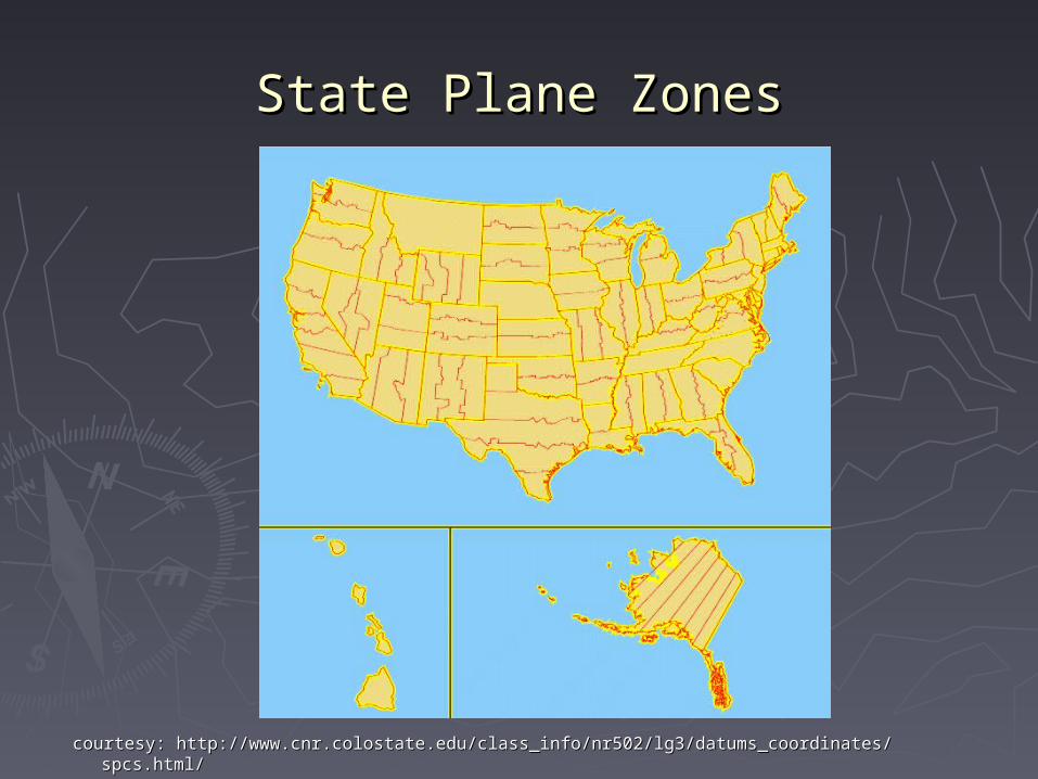
State Plane ZonesState Plane Zones
courtesy: http://www.cnr.colostate.edu/class_info/nr502/lg3/datums_coordinates/spcs.html/courtesy: http://www.cnr.colostate.edu/class_info/nr502/lg3/datums_coordinates/spcs.html/
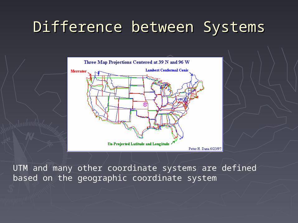
Difference between SystemsDifference between Systems
UTM and many other coordinate systems are defined based on the geographic coordinate system
AttributesAttributes
► Attributes = variables, properties, etc.Attributes = variables, properties, etc.
► Four types of attribute valuesFour types of attribute valuesNominal (river, grass, ..) Nominal (river, grass, ..)
Ordinal (high, medium, low)Ordinal (high, medium, low)
Interval (10Interval (10ooC, 20C, 20ooC)C)
Ratio (2.19, -96.57, ..) Ratio (2.19, -96.57, ..)
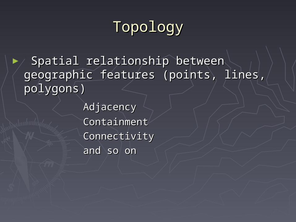
TopologyTopology
► Spatial relationship between geographic Spatial relationship between geographic features (points, lines, polygons)features (points, lines, polygons)
Adjacency Adjacency
ContainmentContainment
ConnectivityConnectivity
and so on and so on
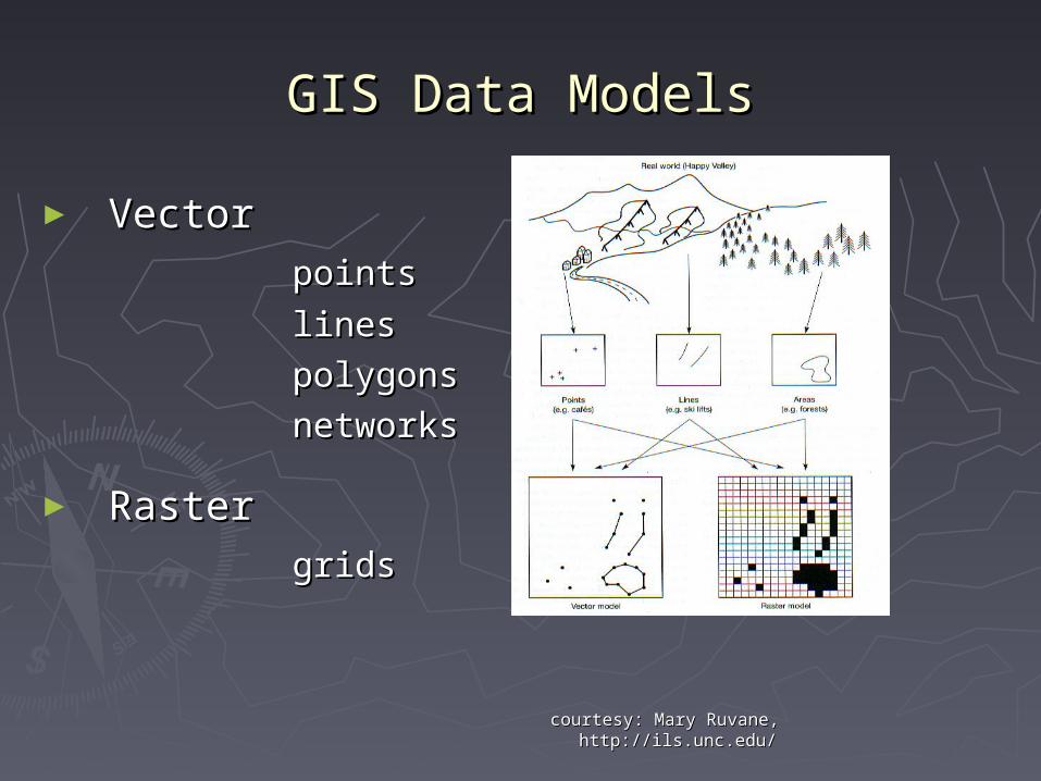
GIS Data ModelsGIS Data Models
► VectorVector
pointspoints
lines lines
polygons polygons
networksnetworks
► RasterRastergridsgrids
courtesy: Mary Ruvane, http://ils.unc.edu/courtesy: Mary Ruvane, http://ils.unc.edu/
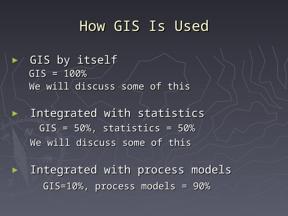
How GIS Is UsedHow GIS Is Used
► GIS by itselfGIS by itself GIS = 100%GIS = 100% We will discuss some of thisWe will discuss some of this
► Integrated with statisticsIntegrated with statistics GIS = 50%, statistics = 50%GIS = 50%, statistics = 50%
We will discuss some of thisWe will discuss some of this
► Integrated with process models Integrated with process models
GIS=10%, process models = 90%GIS=10%, process models = 90%
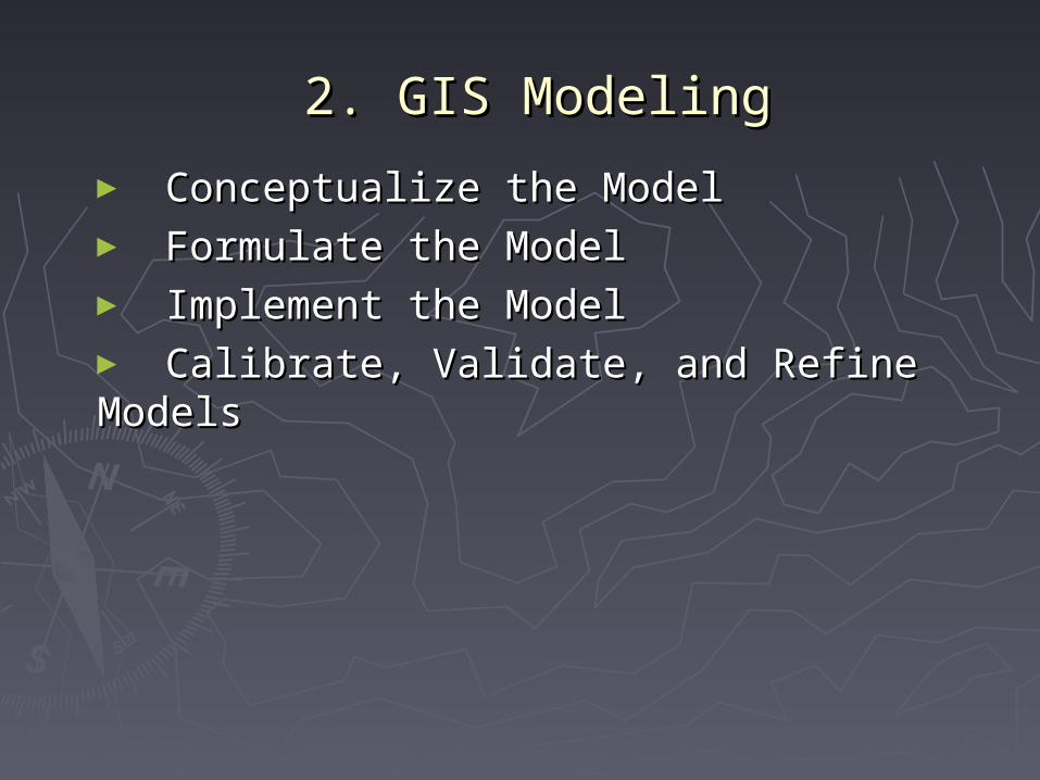
2. GIS Modeling2. GIS Modeling
► Conceptualize the ModelConceptualize the Model► Formulate the Model Formulate the Model ► Implement the ModelImplement the Model► Calibrate, Validate, and Refine ModelsCalibrate, Validate, and Refine Models
2. GIS Modeling2. GIS Modeling
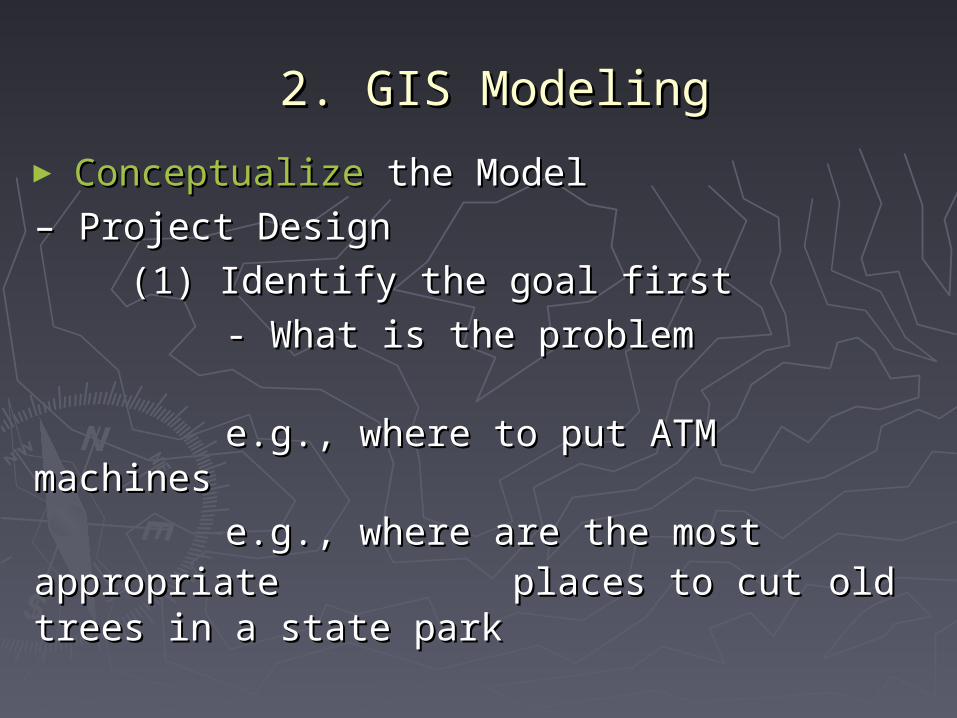
► ConceptualizeConceptualize the Model the Model
– – Project DesignProject Design
(1) Identify the goal first (1) Identify the goal first
- What is the problem - What is the problem
e.g., where to put ATM e.g., where to put ATM machines machines
e.g., where are the most appropriate e.g., where are the most appropriate places to cutplaces to cut old trees in a state old trees in a state
park park
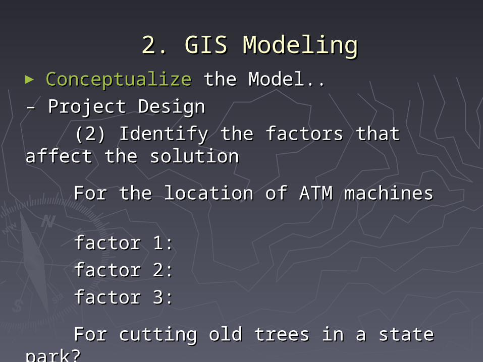
2. GIS Modeling2. GIS Modeling► ConceptualizeConceptualize the Model.. the Model..
– – Project DesignProject Design
(2) Identify the factors that affect the (2) Identify the factors that affect the solutionsolution
For the location of ATM machinesFor the location of ATM machines
factor 1: factor 1:
factor 2: factor 2:
factor 3: factor 3:
For cutting old trees in a state park? For cutting old trees in a state park?
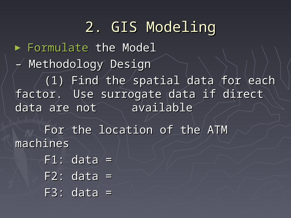
2. GIS Modeling2. GIS Modeling► FormulateFormulate the Model the Model
– – Methodology DesignMethodology Design
(1) Find the spatial data for each factor. (1) Find the spatial data for each factor. Use surrogate data if direct data are not Use surrogate data if direct data are not availableavailable
For the location of the ATM For the location of the ATM machines machines
F1: data = F1: data =
F2: data = F2: data =
F3: data = F3: data =
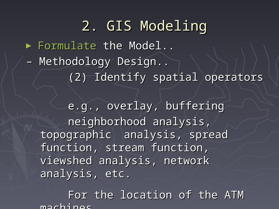
2. GIS Modeling2. GIS Modeling► FormulateFormulate the Model.. the Model..
– – Methodology Design..Methodology Design..
(2) Identify spatial operators (2) Identify spatial operators
e.g., overlay, buffering e.g., overlay, buffering
neighborhood analysis, topographic neighborhood analysis, topographic analysis, spread function, stream analysis, spread function, stream
function, function, viewshed analysis, network viewshed analysis, network analysis, etc. analysis, etc.
For the location of the ATM For the location of the ATM machinesmachines
Operator 1, 2, … Operator 1, 2, …
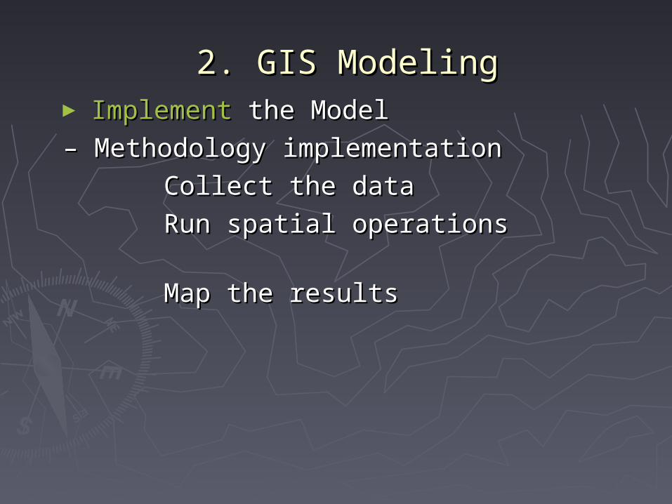
2. GIS Modeling2. GIS Modeling► ImplementImplement the Model the Model
– – Methodology implementationMethodology implementation
Collect the data Collect the data
Run spatial operations Run spatial operations
Map the results Map the results
2. GIS Modeling2. GIS Modeling
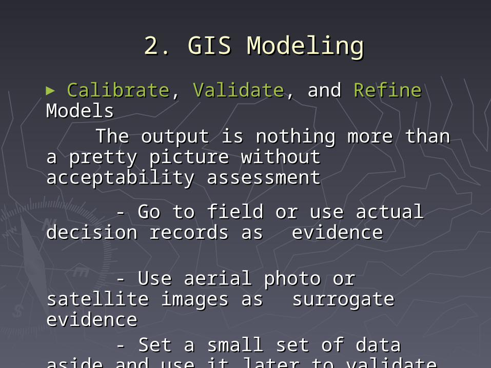
► CalibrateCalibrate, , ValidateValidate, and , and RefineRefine Models Models The output is nothing more than a The output is nothing more than a
pretty picture without acceptability pretty picture without acceptability assessmentassessment
- Go to field or use actual decision - Go to field or use actual decision records as records as evidence evidence - Use aerial photo or satellite images as - Use aerial photo or satellite images as
surrogate evidence surrogate evidence - Set a small set of data aside and use - Set a small set of data aside and use it it later to validate the model resultslater to validate the model results
2. GIS Modeling2. GIS Modeling
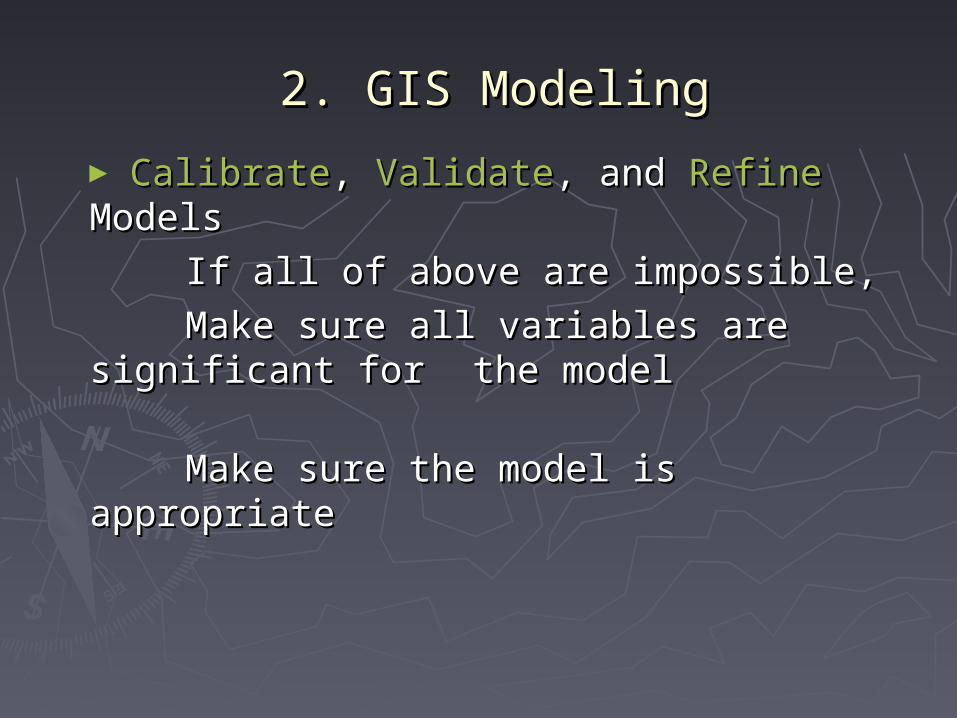
► CalibrateCalibrate, , ValidateValidate, and , and RefineRefine Models Models
If all of above are impossible,If all of above are impossible,
Make sure all variables are significant Make sure all variables are significant for for the model the model
Make sure the model is appropriateMake sure the model is appropriate
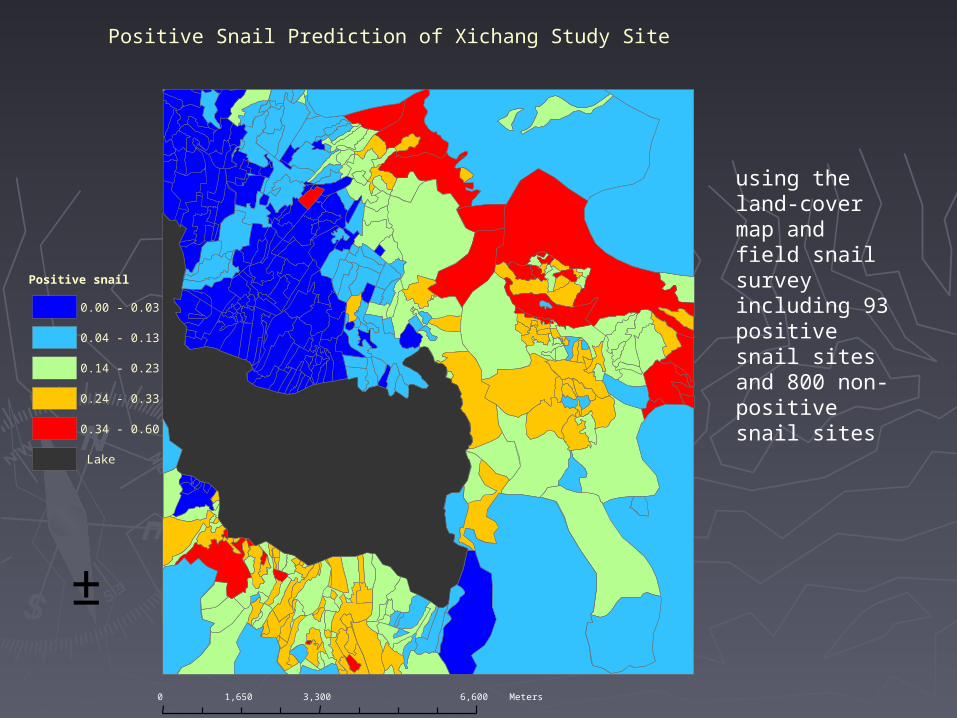
using the land-cover map and field snail survey including 93 positive snail sites and 800 non-positive snail sites
0 3,300 6,6001,650 Meters
±
Positive snail
0.00 - 0.03
0.04 - 0.13
0.14 - 0.23
0.24 - 0.33
0.34 - 0.60
Lake
Positive Snail Prediction of Xichang Study Site
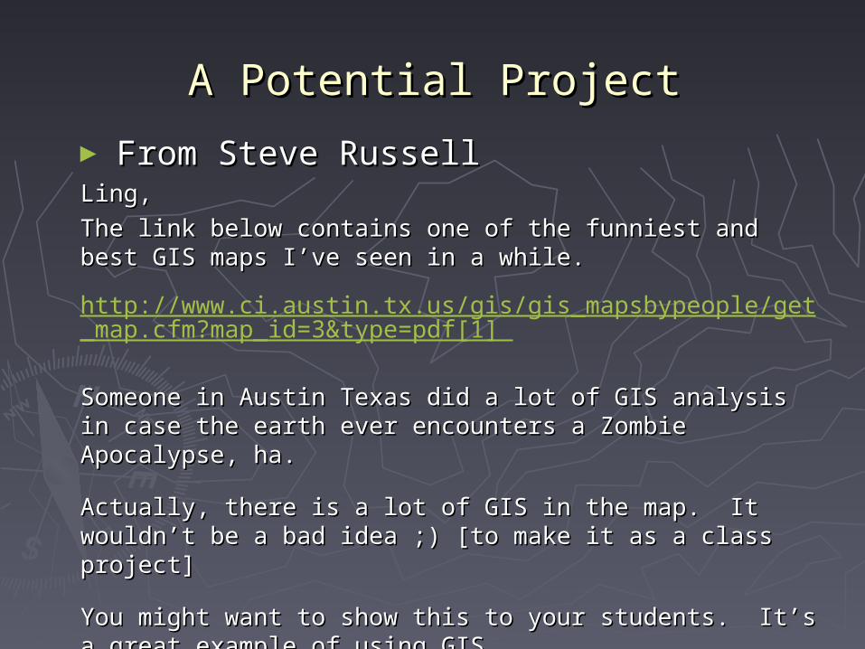
A Potential Project A Potential Project
► From Steve RussellFrom Steve RussellLing,Ling,
The link below contains one of the funniest and best GIS The link below contains one of the funniest and best GIS maps I’ve seen in a while.maps I’ve seen in a while.
http://www.ci.austin.tx.us/gis/gis_mapsbypeople/get_map.cfm?map_id=3&type=pdf[1]
Someone in Austin Texas did a lot of GIS analysis in case the Someone in Austin Texas did a lot of GIS analysis in case the earth ever encounters a Zombie Apocalypse, ha.earth ever encounters a Zombie Apocalypse, ha.
Actually, there is a lot of GIS in the map. It wouldn’t be a Actually, there is a lot of GIS in the map. It wouldn’t be a bad idea ;) [to make it as a class project]bad idea ;) [to make it as a class project]
You might want to show this to your students. It’s a great You might want to show this to your students. It’s a great example of using GIS.example of using GIS.