maps: past, present, and future. sources of geographic info/map making primary sources field work...
TRANSCRIPT

Maps: Past, Present, and Future

Sources of Geographic Info/Map Making
• Primary Sources• Field work (Surveying)• Maps/Globes• Photographs• Satellite images• Databases• GIS (Geographic Information Systems)• Computer system that stores, displays, and maps
locations and their features in layers

Legend
Also called a map key.
A guide to the symbols used on a map.

Types of Maps

Political Maps
Shows boundaries between countries, sites of cities, and other human-made features.
Little attention to physical features.

Physical Maps
Shows physical features such as rivers and mountains.
Uses different colors and symbols to emphasize elevation and features.

Contour Lines
• Lines that show elevation on a type of physical map called a topographic map.

Thematic Maps
A map that shows a specific type of information, such as the distribution of world religions, the location of natural resources, or other data about the earth.


Why are some maps of the same places different?
• Place names are political creations.
• Different perspectives
• Disputed areas and territories
• Countries’ borders change due to war, the collapse of governments, independence, and nation building

Different perspectives of Place Names
• Arabian Gulf v Persian Gulf
• Sea of Japan v East Sea
• Middle East v North Africa and Southwest Asia

Different perspectives of place names
• Formosa• Republic of
China• Taiwan

Disputed Areas
• Palestine• Israel• Occupied Territories-
Gaza Strip, Golan Heights, the West Bank

Disputed Areas: Kashmir
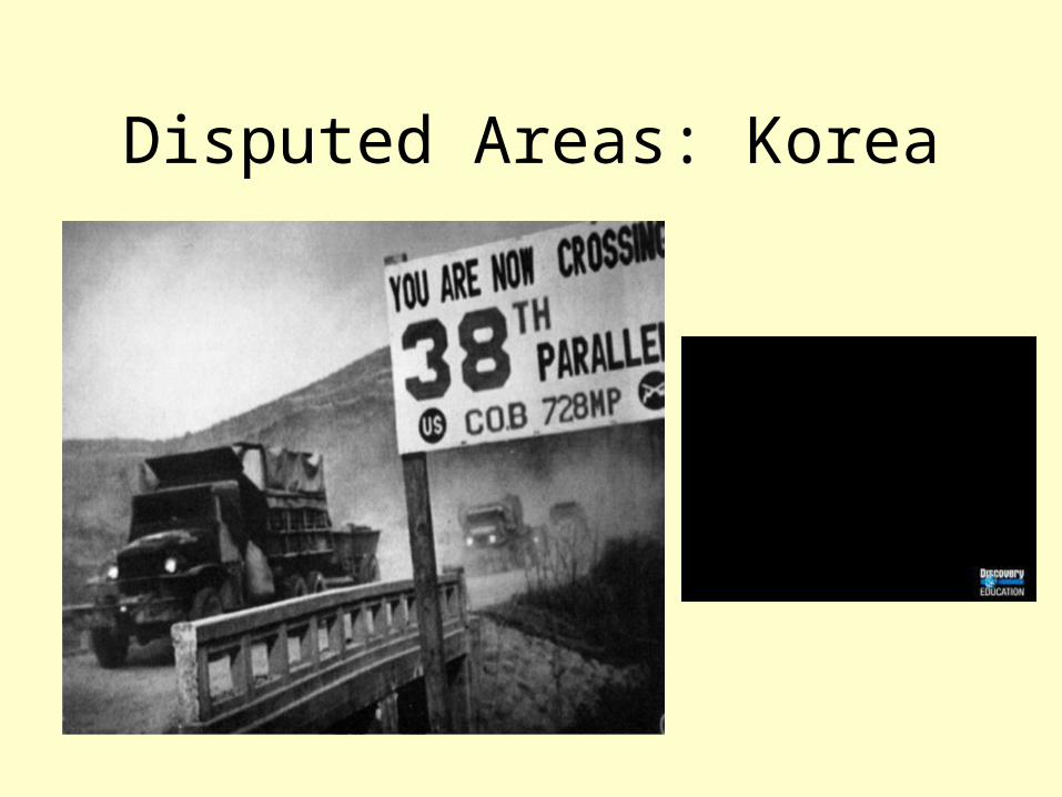
Disputed Areas: Korea
Other Disputed Areas
• Western Sahara: Claimed by Morocco
• Former Yugoslavia (Balkans): Kosovo proclaimed independence from Serbia in February. Recognized by US and 47 other countries but not Russia, China, or United Nations.

Political changes throughout history
• Countries’ borders change due to:
• War
• The collapse of governments
• Independence
• Nation building