peron naturaliste partnership a 5 year journey 2011-2016 · peron naturaliste partnership mou...
TRANSCRIPT

PeronNaturalistePartnershipA5YearJourney
2011-2016

Overview
» Background» WhoisthePNP?» KeyAchievements» Partnerships» MajorProjects» What'snext?
» Takehomemessages

• Theclimatesystemischangingfasterthanprojectedandthat theimpactsofclimatechangearelikelytobemoresevere.• Changesinthefrequencyandmagnitudeofextremesealevelevents,suchasstormsurgescombinedwithhighermeansealevel,willleadtoescalatingrisksofcoastalinundation.
Background

• EvidencesuggeststhatsevereanddamagingtropicalcyclonesmayoccurmoreoftenandcouldtrackfurthersouthalongAustralia’swestcoast (CSIRO).• Risingsealevelsarelikelytocauseacceleratederosion formanyforeshoresaroundtheAustraliancoastline andestuaries.
• Theswitchfromgenerallyaccretingbeachestoarecedingcoastlineisakeythresholdforcoastalmanagementandisnotwellunderstood.
Background

Background

Timeline
2011
2015
2014
2012
2013
2016
PeronNaturalistePartnership
MOUAgreement,BusinessPlan2011-2013CoastalAdaptationPathwaysProject
BusinessPlanandCommunicationsStrategy2013-2015
PilotCommunityEngagementProject
CoastalHazardRiskManagementAdaptationPlanning,RegionalCoastalMonitoringProgram
IncorporationCorporatePlanandOperational2016-2019

VisionStatement
ThevisionofthePeronNaturalistePartnershipistoempoweraresilient
regionalcommunitytoreducerisksandoptimiseopportunitiespresentedby
climatechange.
PeronNaturalistePartnership

CorporatePlan2016-2019StrategicDirection
1. Research and implementation of coastal adaptation
2. Collaboration among Member Councils, stakeholders and our communities
3. Advocate for effective coastal adaptation

PNPBoardofGovernors(StrategicDirection,Policy&Management)
Secretariat
CoastalManagementCommittee
(Technical&Implementation)Coastal Planning Committee(Technical&Implementation)
Structure

DraftCommunication Strategy2016-2019
» Linktocurrentbestpracticeinitiatives
» keymessages» protecttheexistingpartner’sorganisationalbrand,imageandreputation
» guideexternalandinternalcommunication
» publicparticipation
» knowledgemanagement
» Onlineplatform

DraftCommunicationStrategy2016-2019 ExternalCommunication
Theeffectiveandwellmanagedcommunicationandtransferofinformationandknowledge
•buildcommunityownershipofprojectsandoutcomes
•Understandandincreasetheadaptivecapacityofthecommunity•sensitiveinformationcommunicatedeffectively
•GenerateaccurateandinformativemediaaroundClimateChangeAdaptationinthePNPregion

» Website– Homepage» Website- Memberspage» RegionalClimateChangeAdaptationBrochure» Newsletter» SubscriptionsandPublications» Projectspecificinformation(4majorprojects)
Resources

Ø AustralianCoastalAwards2015- ClimateAdaptation,AustralianCoastalCouncilsAssociation
Ø Attractedfundingtotaling$604,000
Ø NCCARFPartnershipToolbox DevelopmentPartnership
Ø PNPbecameIncorporatedin2015
KeyAchievements

Ø AcademicØ GovernmentØ RegionalNRMØ CommunityGroupsØ Consultants
Partnerships
Ø CoastAdaptØ CSIROMurrayModellingØ CSIROBunburyModellingØ LocalProjects
PartnerProjects

MajorProjects
PeronNaturaliste PartnershipCoastalAdaptationDecisionPathwaysProject2011-2012
DevelopingCommunityAwarenessofCoastalAdaptationtoClimateChangeinBusselton2013
RegionalCoastalMonitoringProgram2014-2016
ShireofHarveyCoastalHazardRiskManagementAdaptationPlan(CHRMAP)2014-2015

PeronNaturaliste PartnershipCoastalAdaptationDecisionPathwaysProject
2011-2012
www.peronaturaliste.org.au
Fundingprovided bytheAustralian Government CoastalAdaptationDecisionPathwaysprojects - AnAustralianGovernment initiativeandStateGovernment
CoastalProtectionGrant

CoastalAdaptationDecisionPathwaysProject2011-2012
DevelopingFlexibleAdaptationPathwaysforthePeronNaturalisteCoastalRegionofWA
Aim: To ensure the Peron Naturaliste Coastal Region of
Western Australia is adequately prepared to respond to the impacts and opportunities posed by climate change

ProjectSpecificDocuments
Climate Change Adaptation Options Assessment Report
Coastal Hazard Mapping Report and Technical
Note
CAPS Fact Sheet &FAQ

CAPS2011-2012 ProjectSummary
» Phase I is a synthesis of coastal hazards affecting the region(DOT Funding).
» Phase II is a regional-based assessment of impacts,specifically comparing present day conditions with thoseprojected for 2110.
» Phase III is a detailed locally-based assessment of impactsand potential responses, which will change over time.Developing adaptation options considers real optionsapproach.

Region-WideAssessment– KeyOutcomes
» Erosion is a more pervasive issue than flooding» 800 hectares of residential land would be subject to an
increase in flooding risk» Approximately 200 metre wide strip potentially is at risk from
erosion along the whole extent of the coastline.» The value at risk of the affected assets along this section of
coastline is approximately $1.2 billion» $1.1 billion of assets can be saved, at a cost of around $120
million

CaseStudyAssessment– KeyOutcomes
» Four sites: Mandurah, Eaton-Australind, Peppermint GroveBeach and Siesta Park-Marybrook
» Economically viable adaptation options that providesignificant net benefits from protection were identified forthree sites
» Results are perhaps not as important as the process

DevelopingCommunityAwarenessofCoastalAdaptationtoClimateChangeinBusselton2013 (Coastwest funded)
Phase1:CurtinUniversityGoogleEarthMappingWorkshopandWorkshopReportwasimplementedforBusseltonandforuseacross
thePNPRegion.Phase2:APilotPlanand report(preparedbyNCCARFACCARRNSI) are
availableonthePNPWebsite.

Phase1:MappingWorkshopObjectives
•developsharedunderstandingsabouttheimpactsofclimatechangeonBusselton’scoastsandwaterways,andtodevelop
pathwaysforward.
•mapparticipants’ideasandidentifyareasatrisk
•Resultscontributetoongoingcoastaladaptationplanningandriskmanagement.

Phase2:thepilotPlan
1. Unpackingtheidentifiedhotspotsandemergingadaptationpathways
2. Feedbackconcernsandopportunitiesidentifiedinthehotspotmapping
3. ProvidinginformationontheWAcoastaldecision-makinghierarchyi.e.StatePlanningPolicy2.6
4. Drillingdownintounresolvedissues

Keydriversandcriticalsuccessfactors
i. Identifyingandrespondingtocommunityorstakeholderissues/concerns
ii.Meetingtheexpectationsofcommunitymembers.
iii.Ongoingengagementwithstakeholderstoenablefurthervaluesinputsonkeyclimatechangeissues.
Acaveat…hotspotscannotbetreatedseparatelyfromadjoininglocales

Lessonlearned
Wecananticipatesomeprotractedcommunitydebatesaboutwhoisgoingtopay?e.g.forbeachnourishment,andwhen?Thisisadiscussionthatwillhavetobehadmanytimes,inordertomovetowardsoptimumresolution.
StatementsbyparticipantsfromthepilotmappingworkshopandrecommendationsinthePilotprojectReportprovidedhelpfulpointerstowardsresolutions.

NextSteps
Futurestepscouldinclude:» Involvecommunitiesandincorporatetheirlocalvaluesindevelopingriskmanagementframeworks(CHRMAP)forhotspotsandworktowardsresolvingsocialequityissues.
Settlingdiscussionsonsocialequityissuesateachhotspotwillnotbeeasy.

RegionalCoastalMonitoringProgram 2014-2016
Whendidtheprogramcommence?2014andPhase1was completed in2015(CoastWestandDoTFunded).Taskscompleted:• AerialObliquePhotos- Dec2014andAprilandDec2015• ArchivingObliqueAerial2014/2015photos• Database InputExportTool,GapAnalysisandSummaryReport• CoastalMonitoring10YearActionPlan• RegionalCoastalMonitoringStandardsandManual


RegionalCoastalMonitoringProgram
•ThePNPRCMPdevelopedbythePNPtohelpimproveunderstandingandlocallandmanagerscapacitytorespondtoerosionandinundationhazardsonthecoastalzone.
•Information/datacanbeincorporatedintoexistingmonitoringprograms,these varybetweenthemembercouncilsrelatedtoavailableresources, methodsandtechniquesofcoastalmonitoring.
•Theprojectdeveloped alongtermcoastalmonitoringprogramwithmembercoucnils andthelongterm‘ActionPlan’.
•Theprojectconsidered currentcoastalandestuarinemonitoringmethods.

ShireofHarveyCoastalHazardRiskManagementAdaptationPlan
•TheShireisfinalisingatechnicallyrobustCoastalHazardRiskManagementAdaptationPlan(CHRMAP)touseinplanningforitscoastandparticularlyinthemanagementofcoastalassets.
•TheCHRMAPfollowsonfromtheregionalCoastalAdaptationPathways(CAPS)projectwhichidentifiedareaswherefutureimpactsfromcoastalerosionandinundationarelikelytoaffecttheHarveycoast.
ShireofHarveyCoastalHazardRiskManagementAdaptationPlan
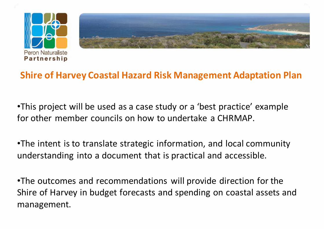
•Thisprojectwillbeusedasacasestudyora‘bestpractice’exampleforothermembercouncilsonhowtoundertake aCHRMAP.
•Theintent istotranslatestrategicinformation,andlocalcommunityunderstanding intoadocumentthatispracticalandaccessible.
•TheoutcomesandrecommendationswillprovidedirectionfortheShireofHarveyinbudgetforecastsandspendingoncoastalassetsandmanagement.
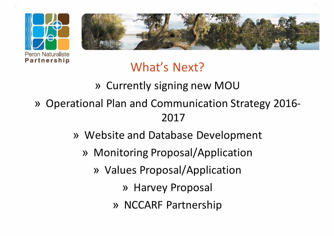
What’sNext?» CurrentlysigningnewMOU
» OperationalPlanandCommunicationStrategy2016-2017
» WebsiteandDatabaseDevelopment» MonitoringProposal/Application» ValuesProposal/Application
» HarveyProposal» NCCARFPartnership

TakehomeMessages» ‘‘Ourworldischangingandwehavedonethat’– Tero
Mustonen,TraditionalOwnerrepresentativefromFinland(www.eloka-Arctic.org/news/EAC_meeting.html.)
» Strengththroughpartnershipandregionalcollaboration» Barriersforlongtermstrategyandfundingforadaptation
intothefuture» AnewAustraliawideWebbasedToolboxforAdaptingto
NRMacrossAustraliaAdaptNRM:http://adaptnrm.csiro.au» AnewNCCARFCoastAdaptToolboxWebsitewillsoonbe
available

TakehomeMessages» Identifytriggersfornewdecisionsandlowregretoptions,
» Localgovernmentwillcontinuetoworktogetherwith/andlobbytothestategovernmentonoutcomesforthePeronNaturalistecoastalregionofWesternAustralia
» therecouldbeabiggerroleforcommunityinongoingcoastaladaptationplanning.

TakehomeMessages» “Heritagesiteshavenotseriouslybeenconsidered.’
» ‘EnvironmentalDamageisthefocusofthePrecautionaryprinciple.IntheWACoastalPlanningPolicy2.6contexttheprinciplemissesthepointandlosesmeaning.ThePrecautionaryPrincipleisbeingappliedto‘EnvironmentalChangeDamagingDevelopment.’BarbaraNorman.

TakehomeMessages
’Climatelimitsrangeofspecies,weareseeinglargerrangeshiftsandupwardverticalterrestrialrangeshifts’
JenniferSunday.» ThePNPregionisahotspotforhighratesofoceantemperaturerise.
» Speciesupwardverticalandpolewardmigrationisrestrictedbyhabitatlimitationsandcompetinglanduse

THANKYOU