r = channel 02 (vis0.8) g = channel 04r (ir3.9, solar component) b = channel 09 (ir10.8)
DESCRIPTION
Day Microphysics RGB devised by: D. Rosenfeld. R = Channel 02 (VIS0.8) G = Channel 04r (IR3.9, solar component) B = Channel 09 (IR10.8). Applications: Cloud Analysis, Convection, Fog, Snow, Fires Area: Full MSG Viewing Area Time: Day-Time. Day Microphysics RGB - PowerPoint PPT PresentationTRANSCRIPT

R = Channel 02 (VIS0.8)G = Channel 04r (IR3.9, solar component)B = Channel 09 (IR10.8)
Day Microphysics RGBdevised by: D. Rosenfeld
Applications:Applications: Cloud Analysis, Convection, Fog, Snow, FiresArea:Area: Full MSG Viewing AreaTime:Time: Day-Time

Recommended Range and Enhancement:Recommended Range and Enhancement:
Beam Channel Range Gamma
Red 02 (VIS0.8) 0 …+100 % 1.0Green 04r (IR3.9r) 0 ... +60 % 2.5Blue 09 (IR10.8) +203 ... +323 K 1.0
Day Microphysics RGBdevised by: D. Rosenfeld

R = Difference VIS0.8Optical Thickness, Viewing Geometry
G = Difference IR3.9rOptical Thickness, Phase, Particle Size, Viewing Geometry
B = Channel IR10.8Top Temperature
Physical Interpretation(for dust/ash/water/ice clouds)

Interpretation of Colours for High-level Clouds
Deep precipitating cloud(precip. not necessarily reaching the ground)
- bright, thick- large ice particles- cold cloud
Deep precipitating cloud(Cb cloud with strongupdrafts and severeweather)*
- bright, thick- small ice particles- cold cloud
*or thick, high-level lee cloudiness with small ice particles
Thin Cirrus cloud
(large ice particles)
Thin Cirrus cloud
(small ice particles)
Ocean Veg. Land Fires / Desert Snow

Interpretation of Colours for Mid-level Clouds
Supercooled, thickwater cloud
- bright, thick- large droplets
Supercooled, thickwater cloud
- bright, thick- small droplets
Supercooled thin watercloud with large droplets
Supercooled, thin watercloud with small droplets *
* or, in rare occasions,thin Ci cloud with smallice particles
Ocean Veg. Land Fires / Desert Snow

Interpretation of Colours for Low-level Clouds
Thick water cloud(warm rain cloud)- bright, thick- large droplets
Thick water cloud(no precipitation)- bright, thick- small droplets
Thin water cloud withlarge droplets
Thin water cloudwith small droplets
Ocean Veg. Land Fires / Desert Snow

Example 1: Severe Convection
MSG-1, 13 June 2003, 12:00 UTC

Example 2: Ship Trails
MSG-1, 17 January 2006, 13:00 UTC

Example 3: Fires
MSG-1, 27 April 2004, 14:15 UTC

MSG-1, 8 October 2003, 12:00 UTC
ice
mixed
water water
ice
ice
Example 4: Ice vs Water Clouds

MSG-1, 26 August 2005, 12:00 UTC
iceice
ice
water
water
Example 5: Ice vs Water Clouds

0.8 m
3.9r m
10.8 m
Cb
-32C
FogStAC
Snow
10.8 m
Cb
-32C
FogStAC
Snow
Ci
10.8 m
Cb
-32C
FogStAC
Snow
10.8 m
Cb
-32C
FogStAC
Snow
Ci
10.8 m
Cb
-32C
FogStAC
Snow
10.8 m
Cb
-32C
FogStAC
Snow
Ci
Example 6: Cloud Analysis

Maputo
MSG-1, 6 November 2004, 12:00 UTC
Thin Ice Cloud (small ice)
Thick Ice Cloud(small ice)
Thick Ice Cloud(large ice)
Thin Ice Cloud (large ice)
Example 7: Small vs Large Ice Particles

MSG-1, 19 March 2007, 08:00 UTC
Very cold clouds(lee cloudiness) with
small ice particles
Example 8: Lee Cloudiness

MSG-1, 8 November 2005, 12:00 UTC
Example 9: Frontal Clouds

Example 9: Comparison with Dust RGB
MSG-1, 8 November 2005, 12:00 UTC
MSG-1, 26 May 2007, 16:29 UTC
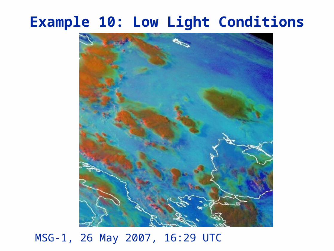
Example 10: Low Light Conditions