spatial analyst raster vs. vector. spatial analyst extension
Post on 21-Dec-2015
245 views
TRANSCRIPT
Spatial Analyst
Raster vs. Vector

Spatial Analyst Extension

Copy a Grid to your workspace

Add a GRID to your View

Calculating a Hillshade from your Grid
Navigate to your location

Calculating a Hillshade from your Grid

Calculating a Hillshade from your Grid

Create a Hillshade Map

Create a Slope Map
Create an Aspect Map

Create a Slope Map

Create an Aspect Map

Working with Grids
• Copy grids to your workspace• Add Grids to a View• Create a Hillshade map• Create a Slope Map• Create an Aspect Map• Query for gt 7000 ft.• Query for gt 20 deg slope• Query for East facing Aspect (lt 120 & gt45)
- Lab 02

Working with Vector Data
• Copy from the Shapefile folder– Area_rds (roads)– Area_strm (streams)
• Analysis Tools– Select By Location
• Use the GeoProcessor extension– Intersect Tool
• Create a Buffer on streams
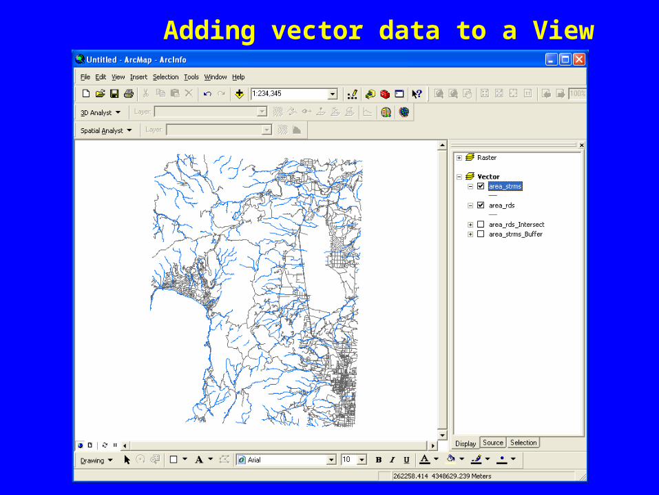
Adding vector data to a View

Creating a Buffer

Buffer Tool
Intersect Tool

Working with Grids
• Copy grids to your workspace• Add Grids to a View• Create a Hillshade map• Create a Slope Map• Create an Aspect Map• Query for gt 7000 ft.• Query for gt 20 deg slope• Query for East facing Aspect (lt 120 & gt45)
- Lab 02
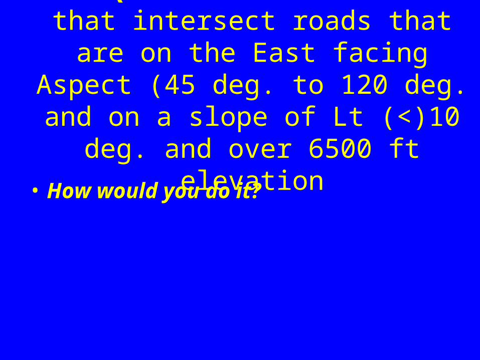
The Question: Find Streams that intersect roads that are on the East facing Aspect (45 deg. to 120 deg. and on a slope of Lt (<)10 deg. and
over 6500 ft elevation
• How would you do it?