technology innovation challenge grant. three schools – three different plans cox high school, va...
Post on 21-Dec-2015
218 views
TRANSCRIPT
Technology Innovation Challenge Grant
Three Schools – Three Different Plans
• Cox High School, VA
• Oxford High School, MS
• Potomac High School, MD
http://www.educonnect.org/gis
Cox High SchoolVirginia Beach, VA
• Mapping Lesson – Scatter Plot
• Traveling Salesman Lesson
• Oyster Project
Traditional Mapping Taught 2 Ways
• Latitude, Longitude, Scale, Projection
• 3 classes with Arcview
• 1 class without Arcview
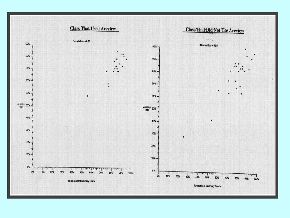
Put Scatter Plot Here
TRAVELING SALESMAN
Math Modeling
ArcView
• GIS software- geographical information system
• a great tool to create a model of TSP!
• Topic--Using ArcView, create a graph to model the transportation of students between high schools and look for an efficient route.

Oxford High School, Oxford, MS
• Students in the Lab
• GIS Course
• Partnership with University of MS
Successes of MS
• More kids did GIS than any other school.• Developed and approved GIS course for
next year. Taught as a team• Developed partnerships:
University of Mississippi
Town of Oxford (Tree Project)

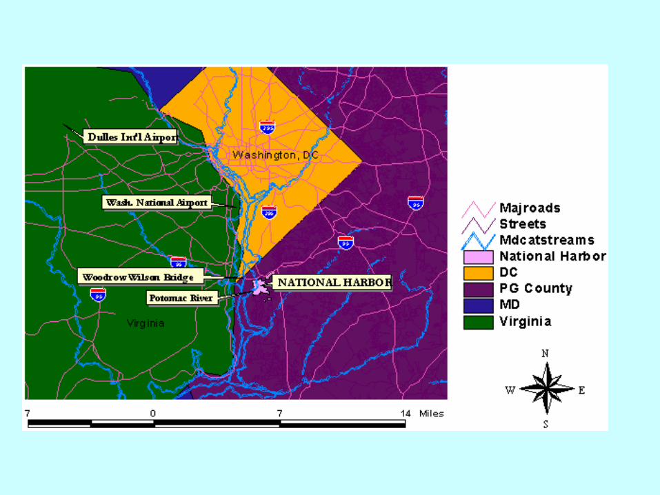
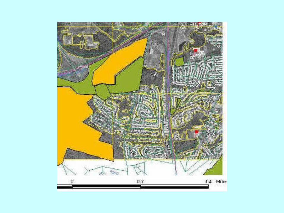
Potomac High School, MD
• National Harbor Project – Smart Growth
• True Curriculum

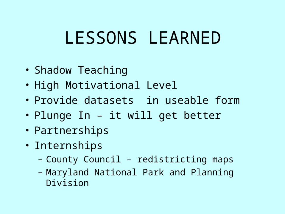
LESSONS LEARNED
• Shadow Teaching• High Motivational Level• Provide datasets in useable form • Plunge In – it will get better• Partnerships • Internships
– County Council – redistricting maps
– Maryland National Park and Planning Division
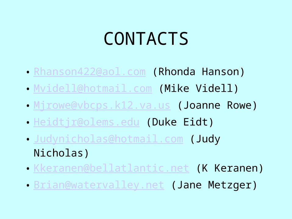
CONTACTS
• [email protected] (Rhonda Hanson)
• [email protected] (Mike Videll)
• [email protected] (Joanne Rowe)
• [email protected] (Duke Eidt)
• [email protected] (Judy Nicholas)
• [email protected] (K Keranen)
• [email protected] (Jane Metzger)