update from sag‐aerosol filegaw aerosol optical depth • gaw is responsible for gcos essential...
TRANSCRIPT
Update from SAG‐Aerosol April 27, 2011
John A. Ogren Chairman, SAGAerosol
J. Ogren 20110426
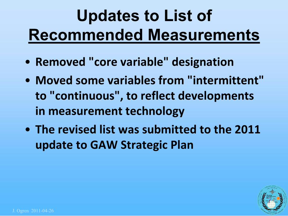
Updates to List of Recommended Measurements • Removed "core variable" designation
• Moved some variables from "intermittent" to "continuous", to reflect developments in measurement technology
• The revised list was submitted to the 2011 update to GAW Strategic Plan
J. Ogren 20110426
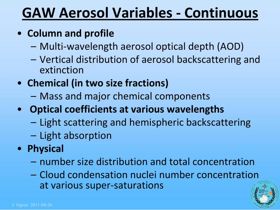
GAW Aerosol Variables ‐ Continuous • Column and profile
– Multi‐wavelength aerosol optical depth (AOD) – Vertical distribution of aerosol backscattering and extinction
• Chemical (in two size fractions) – Mass and major chemical components
• Optical coefficients at various wavelengths – Light scattering and hemispheric backscattering – Light absorption
• Physical – number size distribution and total concentration – Cloud condensation nuclei number concentration at various super‐saturations
J. Ogren 20110426
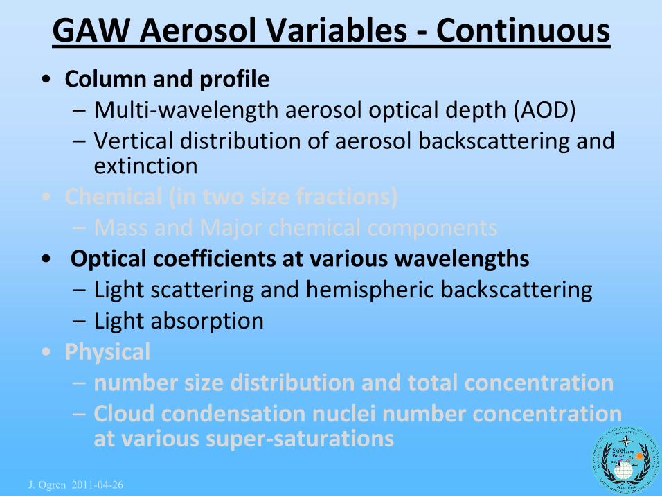
GAW Aerosol Variables ‐ Continuous • Column and profile
– Multi‐wavelength aerosol optical depth (AOD) – Vertical distribution of aerosol backscattering and extinction
• Chemical (in two size fractions) – Mass and Major chemical components
• Optical coefficients at various wavelengths – Light scattering and hemispheric backscattering – Light absorption
• Physical – number size distribution and total concentration – Cloud condensation nuclei number concentration at various super‐saturations
J. Ogren 20110426
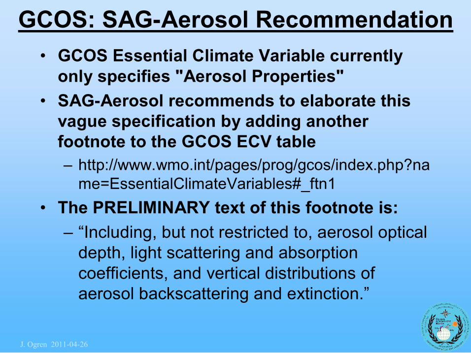
GCOS: SAGAerosol Recommendation • GCOS Essential Climate Variable currently only specifies "Aerosol Properties"
• SAGAerosol recommends to elaborate this vague specification by adding another footnote to the GCOS ECV table – http://www.wmo.int/pages/prog/gcos/index.php?na me=EssentialClimateVariables#_ftn1
• The PRELIMINARY text of this footnote is: – “Including, but not restricted to, aerosol optical depth, light scattering and absorption coefficients, and vertical distributions of aerosol backscattering and extinction.”
J. Ogren 20110426
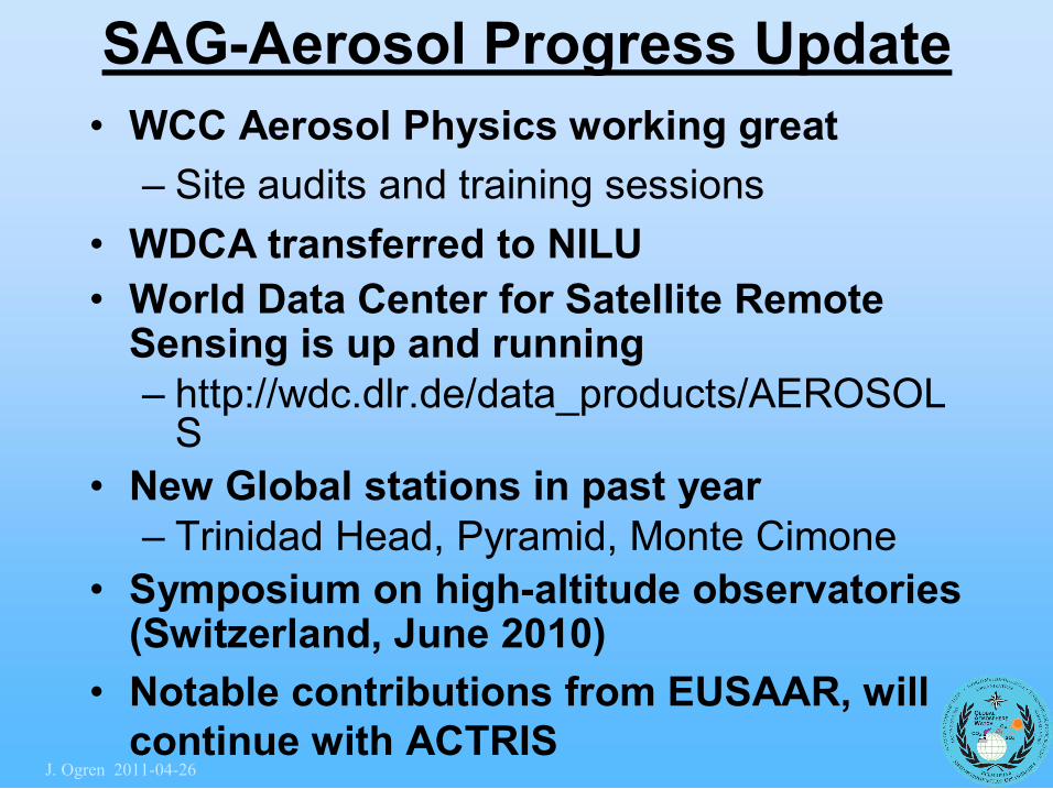
SAGAerosol Progress Update • WCC Aerosol Physics working great
– Site audits and training sessions • WDCA transferred to NILU • World Data Center for Satellite Remote Sensing is up and running – http://wdc.dlr.de/data_products/AEROSOL S
• New Global stations in past year – Trinidad Head, Pyramid, Monte Cimone
• Symposium on highaltitude observatories (Switzerland, June 2010)
• Notable contributions from EUSAAR, will continue with ACTRIS
J. Ogren 20110426

Changes in SAGAerosol • Retired SAG members
– Julian Wilson, JRC/Ispra (WDCA, models) – Ray Hoff, USA (lidar) – Yutaka Kondo, Japan (insitu) – [Len Barrie]
• New SAG members – Angela Benedetti, UK (models) – Andreas Petzold, Germany (aircraft profiles, in situ)
– Nobuo Sugimoto, Japan (lidar) • Decided not to add more members from AOD community, rely on AOD subgroup instead
J. Ogren 20110426
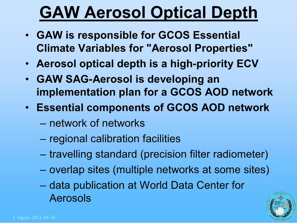
GAW Aerosol Optical Depth • GAW is responsible for GCOS Essential Climate Variables for "Aerosol Properties"
• Aerosol optical depth is a highpriority ECV • GAW SAGAerosol is developing an implementation plan for a GCOS AOD network
• Essential components of GCOS AOD network – network of networks – regional calibration facilities – travelling standard (precision filter radiometer) – overlap sites (multiple networks at some sites) – data publication at World Data Center for Aerosols
J. Ogren 20110426
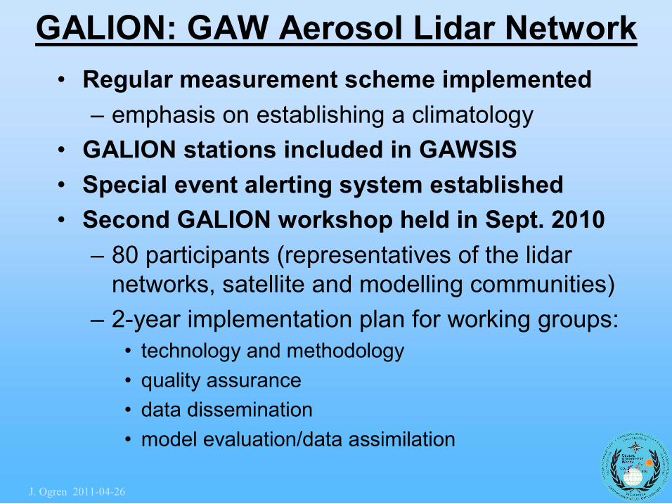
GALION: GAW Aerosol Lidar Network • Regular measurement scheme implemented
– emphasis on establishing a climatology • GALION stations included in GAWSIS • Special event alerting system established • Second GALION workshop held in Sept. 2010
– 80 participants (representatives of the lidar networks, satellite and modelling communities)
– 2year implementation plan for working groups: • technology and methodology • quality assurance • data dissemination • model evaluation/data assimilation
J. Ogren 20110426
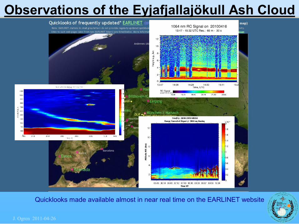
Quicklooks made available almost in near real time on the EARLINET website
Observations of the Eyjafjallajökull Ash Cloud
J. Ogren 20110426
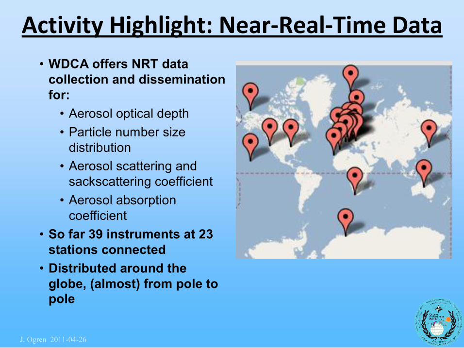
Activity Highlight: Near‐Real‐Time Data • WDCA offers NRT data collection and dissemination for: • Aerosol optical depth • Particle number size distribution
• Aerosol scattering and sackscattering coefficient
• Aerosol absorption coefficient
• So far 39 instruments at 23 stations connected
• Distributed around the globe, (almost) from pole to pole
J. Ogren 20110426
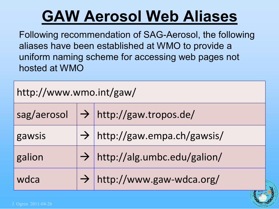
GAW Aerosol Web Aliases
http://www.wmo.int/gaw/
sag/aerosol à http://gaw.tropos.de/
gawsis à http://gaw.empa.ch/gawsis/
galion à http://alg.umbc.edu/galion/
wdca à http://www.gaw‐wdca.org/
Following recommendation of SAGAerosol, the following aliases have been established at WMO to provide a uniform naming scheme for accessing web pages not hosted at WMO
J. Ogren 20110426
SAGAerosol Challenges • Still no WCC Aerosol Chemistry
– National/regional air quality networks are relied on for SOP guidance
• Also, no CCL or QA/SAC – WCCAP adhoc CCL and QA/SAC for aerosol physics
– WRC Davos providing this functionality for AOD
– WDCA import of legacy data, timeliness of new data submission
– Longoverdue WMO Aerosol Bulletin – Connecting AERONET to WMO/GCOS
J. Ogren 20110426
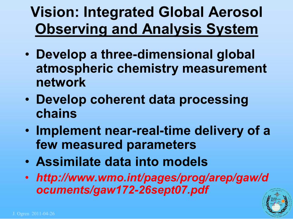
Vision: Integrated Global Aerosol Observing and Analysis System
• Develop a threedimensional global atmospheric chemistry measurement network
• Develop coherent data processing chains
• Implement nearrealtime delivery of a few measured parameters
• Assimilate data into models • http://www.wmo.int/pages/prog/arep/gaw/d ocuments/gaw17226sept07.pdf
J. Ogren 20110426
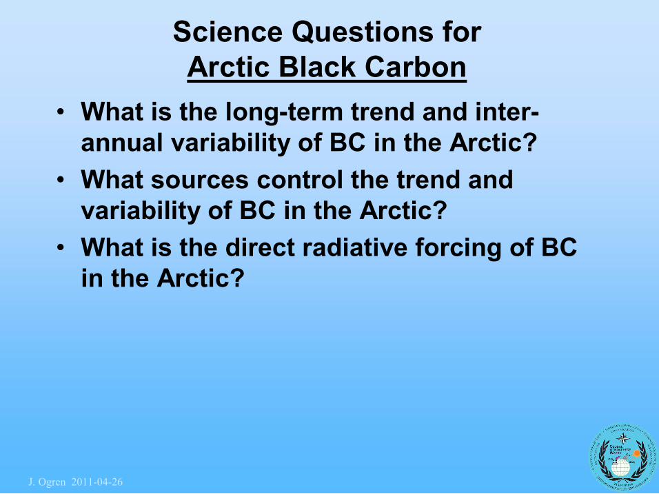
Science Questions for Arctic Black Carbon
• What is the longterm trend and inter annual variability of BC in the Arctic?
• What sources control the trend and variability of BC in the Arctic?
• What is the direct radiative forcing of BC in the Arctic?
J. Ogren 20110426
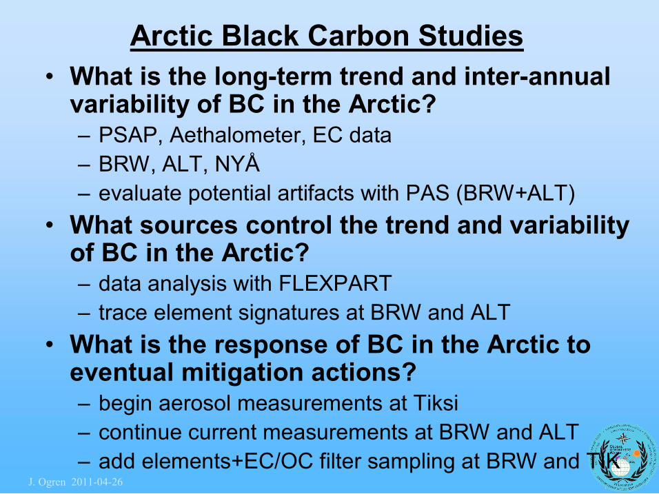
Arctic Black Carbon Studies • What is the longterm trend and interannual variability of BC in the Arctic? – PSAP, Aethalometer, EC data – BRW, ALT, NYÅ – evaluate potential artifacts with PAS (BRW+ALT)
• What sources control the trend and variability of BC in the Arctic? – data analysis with FLEXPART – trace element signatures at BRW and ALT
• What is the response of BC in the Arctic to eventual mitigation actions? – begin aerosol measurements at Tiksi – continue current measurements at BRW and ALT – add elements+EC/OC filter sampling at BRW and TIK
J. Ogren 20110426
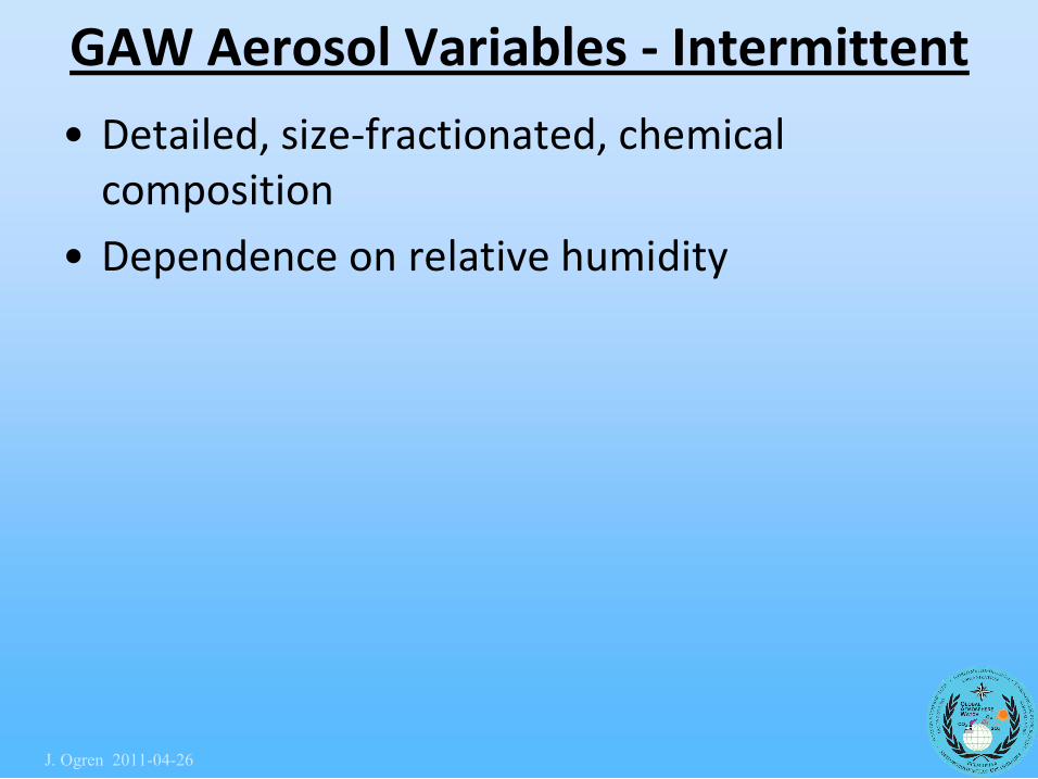
GAW Aerosol Variables ‐ Intermittent
• Detailed, size‐fractionated, chemical composition
• Dependence on relative humidity
J. Ogren 20110426
Aerosols: GAW Strategic Plan Progress
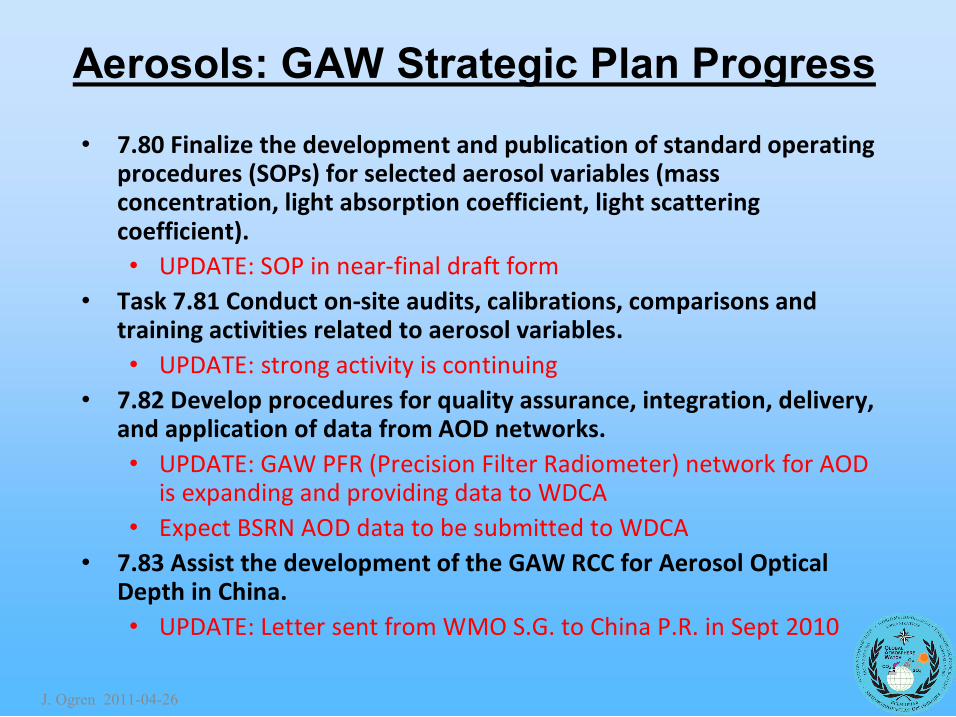
• 7.80 Finalize the development and publication of standard operating procedures (SOPs) for selected aerosol variables (mass concentration, light absorption coefficient, light scattering coefficient). • UPDATE: SOP in near‐final draft form
• Task 7.81 Conduct on‐site audits, calibrations, comparisons and training activities related to aerosol variables. • UPDATE: strong activity is continuing
• 7.82 Develop procedures for quality assurance, integration, delivery, and application of data from AOD networks. • UPDATE: GAW PFR (Precision Filter Radiometer) network for AOD
is expanding and providing data to WDCA • Expect BSRN AOD data to be submitted to WDCA
• 7.83 Assist the development of the GAW RCC for Aerosol Optical Depth in China. • UPDATE: Letter sent from WMO S.G. to China P.R. in Sept 2010
J. Ogren 20110426
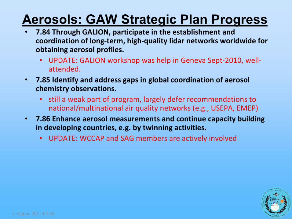
Aerosols: GAW Strategic Plan Progress • 7.84 Through GALION, participate in the establishment and
coordination of long‐term, high‐quality lidar networks worldwide for obtaining aerosol profiles. • UPDATE: GALION workshop was help in Geneva Sept‐2010, well‐
attended. • 7.85 Identify and address gaps in global coordination of aerosol
chemistry observations. • still a weak part of program, largely defer recommendations to
national/multinational air quality networks (e.g., USEPA, EMEP) • 7.86 Enhance aerosol measurements and continue capacity building
in developing countries, e.g. by twinning activities. • UPDATE: WCCAP and SAG members are actively involved
J. Ogren 20110426
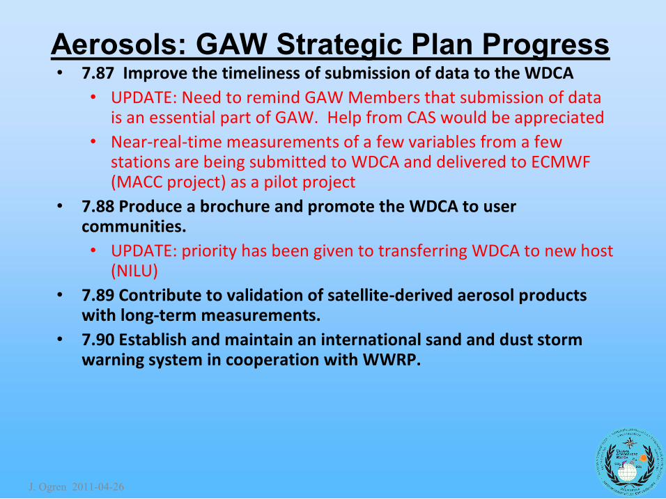
Aerosols: GAW Strategic Plan Progress • 7.87 Improve the timeliness of submission of data to the WDCA
• UPDATE: Need to remind GAW Members that submission of data is an essential part of GAW. Help from CAS would be appreciated
• Near‐real‐time measurements of a few variables from a few stations are being submitted to WDCA and delivered to ECMWF (MACC project) as a pilot project
• 7.88 Produce a brochure and promote the WDCA to user communities. • UPDATE: priority has been given to transferring WDCA to new host
(NILU) • 7.89 Contribute to validation of satellite‐derived aerosol products
with long‐term measurements. • 7.90 Establish and maintain an international sand and dust storm
warning system in cooperation with WWRP.
J. Ogren 20110426
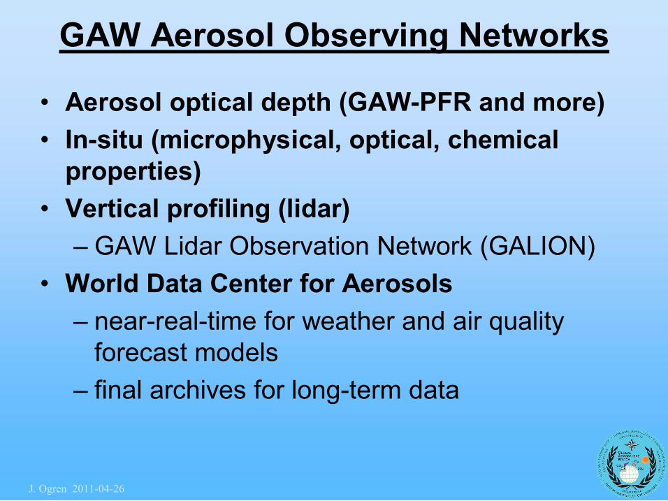
GAW Aerosol Observing Networks
• Aerosol optical depth (GAWPFR and more) • Insitu (microphysical, optical, chemical properties)
• Vertical profiling (lidar) – GAW Lidar Observation Network (GALION)
• World Data Center for Aerosols – nearrealtime for weather and air quality forecast models
– final archives for longterm data
J. Ogren 20110426
J. Ogren 20110426
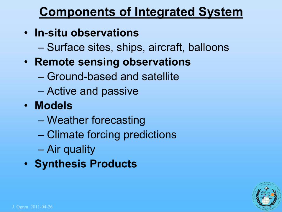
Components of Integrated System • Insitu observations
– Surface sites, ships, aircraft, balloons • Remote sensing observations
– Groundbased and satellite – Active and passive
• Models – Weather forecasting – Climate forcing predictions – Air quality
• Synthesis Products
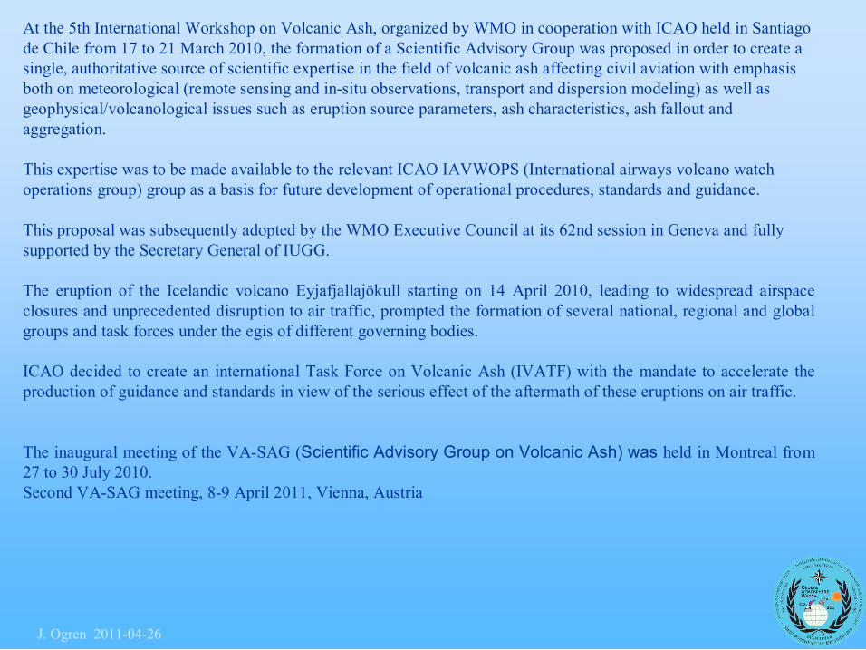
At the 5th International Workshop on Volcanic Ash, organized by WMO in cooperation with ICAO held in Santiago de Chile from 17 to 21 March 2010, the formation of a Scientific Advisory Group was proposed in order to create a single, authoritative source of scientific expertise in the field of volcanic ash affecting civil aviation with emphasis both on meteorological (remote sensing and insitu observations, transport and dispersion modeling) as well as geophysical/volcanological issues such as eruption source parameters, ash characteristics, ash fallout and aggregation.
This expertise was to be made available to the relevant ICAO IAVWOPS (International airways volcano watch operations group) group as a basis for future development of operational procedures, standards and guidance.
This proposal was subsequently adopted by the WMO Executive Council at its 62nd session in Geneva and fully supported by the Secretary General of IUGG.
The eruption of the Icelandic volcano Eyjafjallajökull starting on 14 April 2010, leading to widespread airspace closures and unprecedented disruption to air traffic, prompted the formation of several national, regional and global groups and task forces under the egis of different governing bodies.
ICAO decided to create an international Task Force on Volcanic Ash (IVATF) with the mandate to accelerate the production of guidance and standards in view of the serious effect of the aftermath of these eruptions on air traffic.
The inaugural meeting of the VASAG (Scientific Advisory Group on Volcanic Ash) was held in Montreal from 27 to 30 July 2010. Second VASAG meeting, 89 April 2011, Vienna, Austria
J. Ogren 20110426
EARLINET observations of the Eyjafjallajökull volcanic cloud EARLINET performed almost continuous measurements since 15 April 2010 in order to follow the evolution of the volcanic plume generated from the eruption of the Eyjafjallajökull volcano, providing the 4 dimensional distribution of the volcanic cloud over Europe.
A first volcanic layer was observed in the late evening of 15 April over Hamburg at about 10 km altitude a.s.l.. In the morning of April 16, the ash plume reached Central Europe (The Netherlands, Germany and France) at 56 km a.sl.. In the following days volcanic ash was intercepted at lower altitudes (i.e. below 4 km).
Volcanic plume transport toward South was blocked over the Alps until 20 April when Italian EARLINET stations observed for the first time a clear signature of the plume. Part of the plume continued its travel across Europe reaching Greece on 21 April.
Volcanic plume was observed over Portugal and Spain (6 May) and then over Italy (8 May) and Greece (10 May). Volcanic plume was then observed again over Southern Germany on 11 May.
Volcanic layers were observed also in late May : 16 over Spain, Italy and Greece until 20 May. Volcanic layers over Central Europe were observed until 21 May.
J. Ogren 20110426
Strong pressure for providing near real time data
EARLINET data for this volcanic events together with explanatory reports were provided regularly to the WMO and to the national authorities in the different countries.
J. Ogren 20110426

Daily updated report available on the EARLINET website for the whole period 15 April22 May 2010
J. Ogren 20110426
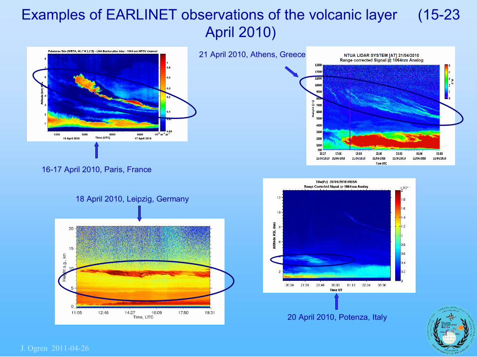
Examples of EARLINET observations of the volcanic layer (1523 April 2010)
20 April 2010, Potenza, Italy
1617 April 2010, Paris, France
21 April 2010, Athens, Greece
18 April 2010, Leipzig, Germany
J. Ogren 20110426
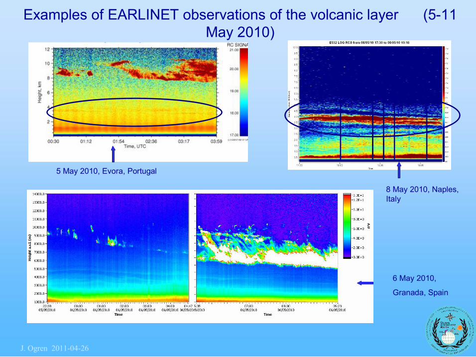
Examples of EARLINET observations of the volcanic layer (511 May 2010)
6 May 2010,
Granada, Spain
8 May 2010, Naples, Italy
5 May 2010, Evora, Portugal
J. Ogren 20110426
The objective:
The GAW aerosol program strives "to determine the spatiotemporal distribution of aerosol properties related to climate forcing and air quality up to multidecadal time scales".
The specific objective of GALION is to provide the vertical component of this distribution through advanced laser remote sensing in a network of groundbased stations.
The aerosol properties to be observed include the identification of aerosol layers, profiles of optical properties (backscatter and extinction coefficients at selected wavelengths, lidar ratio, Ǻngström coefficients), aerosol type (e.g. dust, maritime, fire smoke, urban haze), and microphysical properties (e.g., volume and surface concentrations, size distribution parameters, refractive index).
GALION – the GAW Aerosol Lidar Observation Network
J. Ogren 20110426
The operation of GALION has to be designed to serve the following main areas:
1. Climate research and assessment
1.1 Global climatology
1.2 Model evaluation
1.3 Aerosol transport and tracers
1.4 Impact on radiation
2. Air quality
2.1 Air quality assessment
2.2 Air quality forecast
3. Plumes from special events
4. Support for spaceborne observations
J. Ogren 20110426
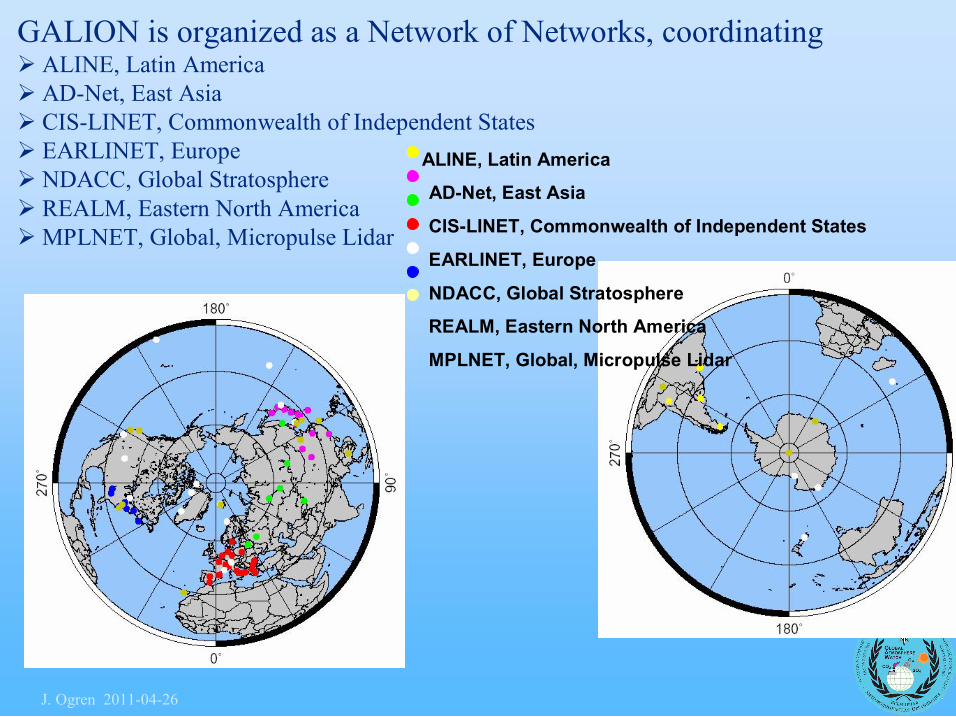
ALINE, Latin America
ADNet, East Asia
CISLINET, Commonwealth of Independent States
EARLINET, Europe
NDACC, Global Stratosphere
REALM, Eastern North America
MPLNET, Global, Micropulse Lidar
GALION is organized as a Network of Networks, coordinating Ø ALINE, Latin America Ø ADNet, East Asia Ø CISLINET, Commonwealth of Independent States Ø EARLINET, Europe Ø NDACC, Global Stratosphere Ø REALM, Eastern North America ØMPLNET, Global, Micropulse Lidar
J. Ogren 20110426
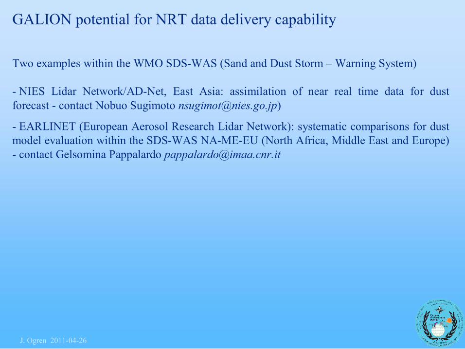
GALION potential for NRT data delivery capability
Two examples within the WMO SDSWAS (Sand and Dust Storm – Warning System)
NIES Lidar Network/ADNet, East Asia: assimilation of near real time data for dust forecast contact Nobuo Sugimoto [email protected])
EARLINET (European Aerosol Research Lidar Network): systematic comparisons for dust model evaluation within the SDSWAS NAMEEU (North Africa, Middle East and Europe) contact Gelsomina Pappalardo [email protected]
J. Ogren 20110426

Twowavelength (1064nm, 532nm) Miescattering lidar with polarization channels at 532nm. (Raman receivers (607nm) are being added at several observation sites.)
Realtime data processing system
Extinction coefficient estimates of dust (left) and spherical aerosols (right) for primary locations (March 2009).
Dust event
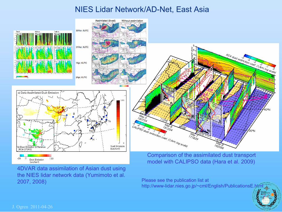
NIES Lidar Network/ADNet, East Asia
J. Ogren 20110426
NIES Lidar Network/ADNet, East Asia
4DVAR data assimilation of Asian dust using the NIES lidar network data (Yumimoto et al. 2007, 2008)
Comparison of the assimilated dust transport model with CALIPSO data (Hara et al. 2009)
Please see the publication list at http://wwwlidar.nies.go.jp/~cml/English/PublicationsE.html
J. Ogren 20110426
The GALION report has been published and is available at: ftp://ftp.wmo.int/Documents/PublicWeb/arep/gaw/gaw178galion27Oct.pdf
Of course there are plans to harmonize "everything" among the networks, but this will take some time and be successful in part only.
The important decision already made is that a regular measurement scheme is implemented for establishing a climatology, tentatively following the EARLINET scheme.
A GALION mailing has been established. An alerting system for special events has been established.
The second GALION workshop will be held at the WMO, Geneva, Switzerland, 2023 September 2010. This workshop will focus on the implementation of GALION mainly around four activities/working groups: i) quality assurance (for both instruments and data processing); ii) database (interoperability among the existing different lidar databases); iii) model evaluation and data assimilation; iv) validation programs for current and next satellite missions.
Representatives from each contributing network will participate and a considerable attendance from both modelling and satellite communities is expected.
J. Ogren 20110426
WDCA Major Challenges
• Import of legacy data needs to be completed (currently 60 % imported)
• To improve timeliness of submission, detailed formatting /submission instructions have been / are being prepared – time consuming but worthwhile, timely submissons as of this year.
• In connecting to WIS system, missing detailed instructions (ISO 19115 profile, vocabulary, server metadata exchange protocol specification) form bottleneck.
• Coordination for implementing WIGOS / WIS is clearly needed.
J. Ogren 20110426