mapping singapore in 3d - clc singapore in 3d.pdf · •the most important element is ... open...
TRANSCRIPT

Presenter: © 2011 Singapore Land Authority Presenter: Victor Khoo
Mapping Singapore in 3D
Mr Soh Kheng Peng
Chief Surveyor, SLA
Dr. Victor Khoo
Deputy Director, Land Survey Division, SLA

Presenter: Derick Tan ©SLA 2014
New Maps are 3D

Presenter: Derick Tan ©SLA 2014
• 3D Digital Built Environment
plays a key role in supporting the
development and operation of
Smart Nation.
•The digital environment supports
planning, management,
modelling, simulation and
visualisation.
•The most important element is
the 3D map data.

Presenter: Derick Tan ©SLA 2014
Vision for 3D Mapping
• SLA leads a WOG initiative to create and maintain a high-resolution geometrically-accurate 3D national topographic map
• Develop once; Use by many
• High resolution in order to meet the requirements of most agencies
• Open standard exchange format for interoperability and sharing in SG-SPACE
• Common authoritative 3D base map to support collaboration among agencies
• Workflow for continuous maintenance to ensure currency of data

Presenter: Derick Tan ©SLA 2014
3D National Topographic Mapping
• MOF RF funded project
• 3-year project started in April 2014
• Led by SLA in partnership with CAAS and
PUB
Accurate terrain model to support
PUB
Accurate building height to support
CAAS
•Airborne Imagery and Laser Scanning
•Mobile Imagery and Laser Scanning
Capture 3D Data
•CityGML exchange format
•Terrain Models, 3D Buildings, 3D Roads (LOD0, LOD1, LOD2)
Create 3D Models
•CityGML Schema (OGC open standard)
•Relational Database
Establish Standards & Database
•Ground-based Laser Scanning/ Topographic Survey
•Satellite Imagery
•Building Information Model (BIM)
Update Changes
Project Scope

Presenter: Derick Tan ©SLA 2014
Data Capturing using Rapid 3D
Mapping Technology
Airborne Laser Scanning
& Imaging
Mobile Laser Scanning &
Imaging
Phase 1 – FY13 to FY15 Phase 2 – FY14 to FY16

Presenter: Derick Tan ©SLA 2014
Vertical and Oblique Images
• Altitude of 2800 ft – 4000 ft
• Total of about 40,000 images
• 13cm Ground Sample Distance (GSD)
• 3 Bands, RGB
• Altitude of 2800 ft – 4000 ft
• Total of about 10,000 images
• 10cm Ground Sample Distance (GSD)
• 3 Bands, RGB
• Front overlaps 60%, Side overlaps 25%
Vertical Image Oblique Image

Presenter: Derick Tan ©SLA 2014
Airborne Laser Scanning – Point Clouds Data
Altitude of 3600ft
Minimum 5 points/sq m
Vertical accuracy +/- 15cm

Presenter: Derick Tan ©SLA 2014
Orthophoto – accurate photo map
(10 cm resolution)

Presenter: Derick Tan ©SLA 2014
Digital Surface Model (DSM) / Digital
Terrain Model (DTM)

Presenter: Derick Tan ©SLA 2014
3D Modelling and Data Management
• CityGML represents
• 3D geometry, 3D topology, semantics, and appearance
• in 5 discrete scales (Levels of Detail, LOD)
LoD0
Terrain Model
LoD1
Block models with
no roof structures
LoD2
Explicit roof
structures
LoD3
Detailed
architectural
models
LoD4
Interior
modelled
Source: Thomas Kolbe

Presenter: Derick Tan ©SLA 2014
CityGML 3D Models - 3 Major
Components
Digital Terrain Model (DTM)
(LOD0) [Phase 1]
3D Buildings (LOD1 &
LOD 2) [Phase 1]
3D Roads (LOD 2)
[Phase 2]

Presenter: Derick Tan ©SLA 2014
Benefits
• Biggest geospatial dataset ever collected homogenously in Singapore to support analytics – 40 TB of data and products
• First high resolution 3D map that covers the whole of Singapore
• Building up WOG 3D capabilities
• 3D models with qualities that ensure widespread applications
• precise geometry
• open standard (CityGML)
• smart data model
• high resolution
• current and comprehensive

Presenter: Derick Tan ©SLA 2014
3D Data for Agencies
• URA, HDB & JTC - Development Planning
• JTC - Underground Space Utilisation
• PUB – Underground Utilities
• BCA – Underground Geological Mapping
• NEA, URA & HDB – Urban Air Flow
Dynamics
• IDA - Telecommunications Coverage
• NCCS – Climate Change Study
• EMA – Solar Potential Study
• URA & HDB – Urban Heat Island
• NHB - Heritage Preservation
Development Planning Underground Infrastructure
Underground Utilities
3D Geological Map
Urban Air Flow Dynamic
Telecommunication Coverage
Sea Water Rise
Solar Potential Study
Urban Heat Island
Discovery of Underground Infrastructure

Presenter: Derick Tan ©SLA 2014
What is Next ?
Integration with 3D Property
Information and BIM
Indoor Mapping Underground Mapping
Virtual Singapore
Presenter: Derick Tan ©SLA 2014
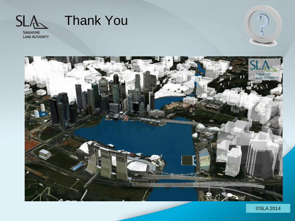
Thank You