the eastern nile basin: some problems demanding international co-operationby: ayenew tessera from...
TRANSCRIPT
THE EASTERN NILE BASIN: SOME THE EASTERN NILE BASIN: SOME PROBLEMS PROBLEMS
DEMANDING INTERNATIONAL DEMANDING INTERNATIONAL
CO-OPERATIONCO-OPERATION
By:By:
Ayenew TesseraAyenew Tessera
From the EtNBDFFrom the EtNBDF
Nile Basin Development ForumNile Basin Development Forum
International Conference on the” Role of the river Nile in Poverty International Conference on the” Role of the river Nile in Poverty Reduction and Economic development in the Basin”Reduction and Economic development in the Basin”
November 30-December 2,2006November 30-December 2,2006
Addis Ababa, EthiopiaAddis Ababa, Ethiopia

Presentation outlinesPresentation outlines
• Introduction• Land Degradation in Highland Ethiopia;• River Sedimentation & Dam siltation;• Impacts of Land Degradation;• The Need for & Impediments to Co-operative
Watershed Management;• Tendencies towards Regional Co-operation:
Breaking the impasse?• Conclusion
1. Introduction1. Introduction
• The watersheds of ENB today are in the state of deepening ecological crisis;
• There is severe deforestation and soil erosion in highland Ethiopia;
• There is also river sedimentation and dam siltation in the sub-region;
• This has brought about on-site and off-site impacts;• So far there is no legal and institutional framework for
cooperation;• Although what is being done under the NBI is a good
beginning, it is far from bringing desired results

objectivesobjectives1.Enhance awareness of the concerned
bodies on the pbs of land degradation, river sedimentation, and dam siltation;
2.encourage/urge them to take prompt measures against these pbs.
Methodology:Literature review;Interviewing key informants;Field observation

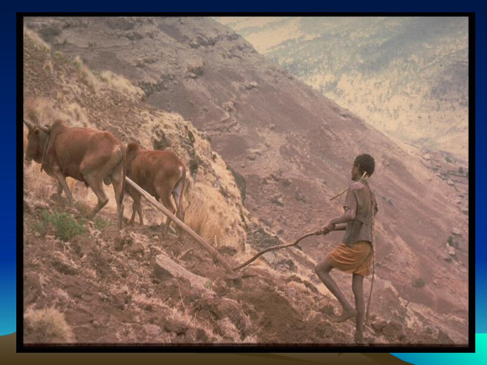
2. Land degradation in Highland 2. Land degradation in Highland EthiopiaEthiopia
A) Deforestation: “Only when the last tree has died and the last river been
poisoned and the last fish has been caught will we realize we cannot eat money” (Jeong, 2000:95).
The Northern & Central highlands of Ethiopia constitute one of the areas of rain-fed agriculture most under pressure from ecological degradation in the HA(Ezra,1997);
40% in the 1900s to less than 3% in the 1990s

Deforestation cont.Deforestation cont. Ethiopia’s remaining natural high forests are
concentrated in the Southern & Western parts while the Central and Northern parts are almost completely deforested;
Forest clearance is continuing at an estimated rate of about 8,000 ha. p/y in the closed forests and 80,000 ha. p/y in the open forests (Ezra, 1997);
Conservation measures have been taken by successive govts, but not adequate;
Ethiopia could have no natural forests left by the year 2020 (BBC, 2002).
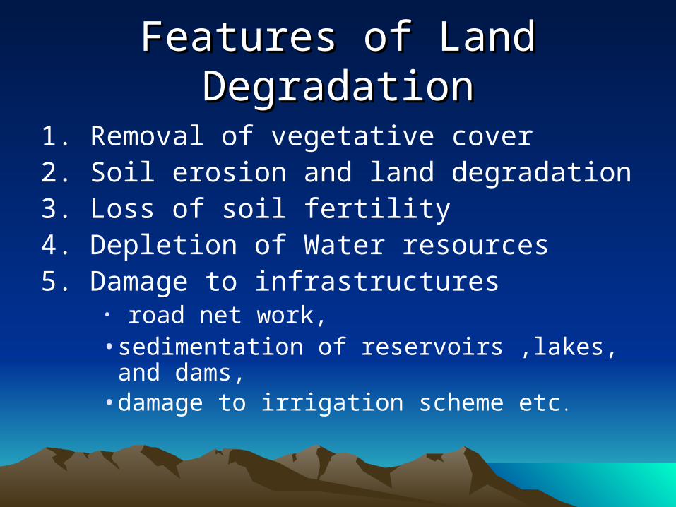
Features of Land DegradationFeatures of Land Degradation
1. Removal of vegetative cover 2. Soil erosion and land degradation 3. Loss of soil fertility4. Depletion of Water resources 5. Damage to infrastructures
• road net work, • sedimentation of reservoirs ,lakes, and
dams,• damage to irrigation scheme etc.

1. Removal of vegetation1. Removal of vegetation covercover
• Grasses , bushes and tree/ forest covered areas are being contGrasses , bushes and tree/ forest covered areas are being continuously shrank by different factors
• inuously shrank by different factors
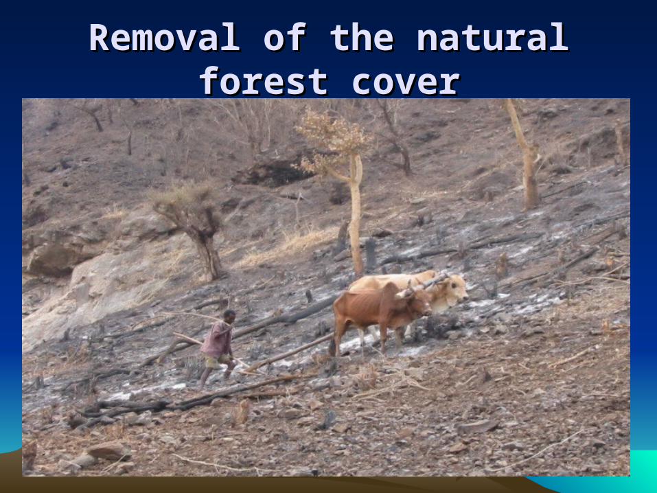
Removal of the natural forest coverRemoval of the natural forest cover

B) B) Soil ErosionSoil Erosion “Cultivate your world as if you would live for ever,
and prepare for your hereafter as if you would die tomorrow.” Saying of Prophet Mohammed as explained by Ali Mubarak in Howell and Allan (1994:1).
Deforestation Increased runoff Soil erosion land degradation;
In highland Ethiopia, soil erosion & degradation has become more serious than ever before( Solomon, 1994);

Soil Erosion cont.Soil Erosion cont.
50% of the highlands is already significantly eroded;
More than quarter of the area is seriously eroded & left with shallow soils (EHRS,1984);
Rates of soil erosion are very high, varying b/n 1.9 & 3.5 billion tons p/y( EFAP, 1994).
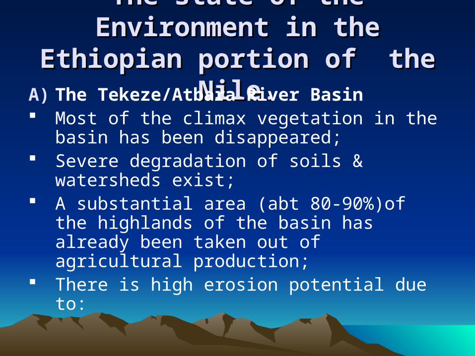
The state of the Environment in The state of the Environment in the Ethiopian portion of the Nilethe Ethiopian portion of the Nile..A) The Tekeze/Atbara River Basin Most of the climax vegetation in the
basin has been disappeared; Severe degradation of soils &
watersheds exist; A substantial area (abt 80-90%)of the
highlands of the basin has already been taken out of agricultural production;
There is high erosion potential due to:
Exposure of soils to rain drop;The length of slopes left unprotected;Poor agricultural techniques;cultivation on steep slopes;The removal of all vegetative matters;Annual burning of grass lands at the end
of the dry season;Cultivation across water ways and
depletion of reverine vegetation.
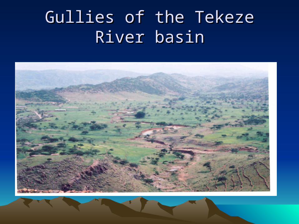
Gullies of the Tekeze River basinGullies of the Tekeze River basin

B) The Abbay/Blue Nile River basinB) The Abbay/Blue Nile River basin
• The forest resources of the basin have been cleared for agriculture, fuel wood, building---;
• Soil erosion aggravated;
• There is high erosion potential due to reasons mentioned in the case of Tekeze/Atbara basin;
• Land degraded.

Soil erosion in the basin.Soil erosion in the basin.

Gullies in the basinGullies in the basin

Gullies consuming landsGullies consuming lands
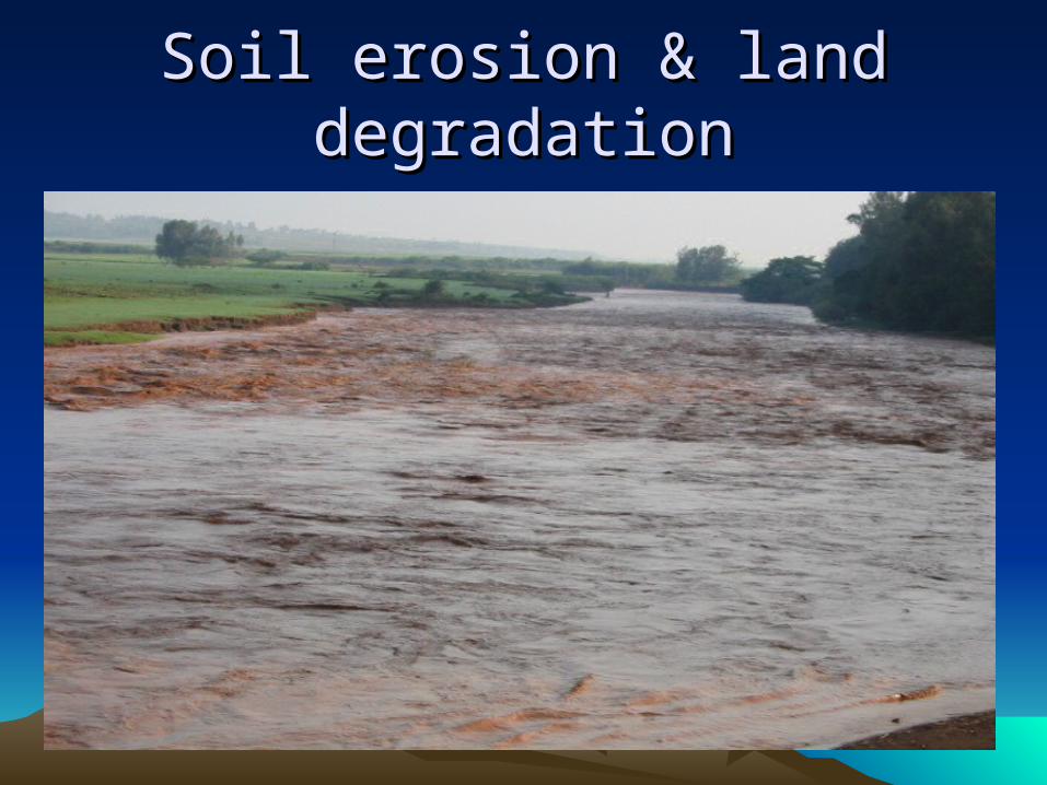
Soil erosion & land degradationSoil erosion & land degradation
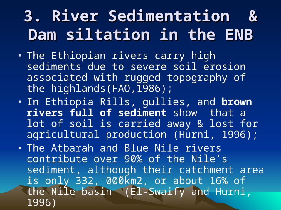
3. River Sedimentation & Dam 3. River Sedimentation & Dam siltation in the ENBsiltation in the ENB
• The Ethiopian rivers carry high sediments due to severe soil erosion associated with rugged topography of the highlands(FAO,1986);
• In Ethiopia Rills, gullies, and brown rivers full of sediment show that a lot of soil is carried away & lost for agricultural production (Hurni, 1996);
• The Atbarah and Blue Nile rivers contribute over 90% of the Nile’s sediment, although their catchment area is only 332, 000km2, or about 16% of the Nile basin” (El-Swaify and Hurni, 1996)

Silt Accumulation in Roseires DamSilt Accumulation in Roseires Dam
• Roseires dam is located at the Blue Nile/Abbay;• The sediment quantities carried by the Blue Nile
are monitored by a key station at El-Deim near the Ethiopian border;
• The quantities of suspended sediment are estimated to be140 million tons during the flood period (El-Monshid et al.,1997);
• Due to sediment concentration, Roseires has lost 40% of its designed capacity (3mcubic m.)(Conway, 2000)

Roseires cont.Roseires cont.
• The dead storage volume is almost completely filled with sediment (El-Monshid et al.,1997);
• The useful life span of the Blue Nile’s Roseires dam in Sudan has been halved (Hutchison, 1991)

Silt Accumulation in Khasm El-Girba Silt Accumulation in Khasm El-Girba ReservoirReservoir
• Located at Tekeze/Atbara river, 150km downstream from Ethiopia-Sudan border;
• The Tekeze/Atbara river used to carry 3kg of dissolved & eroded material per million cubic meters of water (Ati, 1992);
• The reservoir storage capacity gradually started to drop from the original 1.3mM3 in 1964 to 0.80mM3 in 1972 to 0.64mM3 in 1990(ibid.);
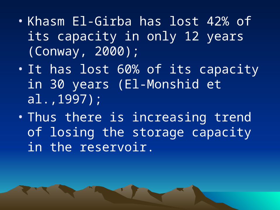
• Khasm El-Girba has lost 42% of its capacity in only 12 years (Conway, 2000);
• It has lost 60% of its capacity in 30 years (El-Monshid et al.,1997);
• Thus there is increasing trend of losing the storage capacity in the reservoir.
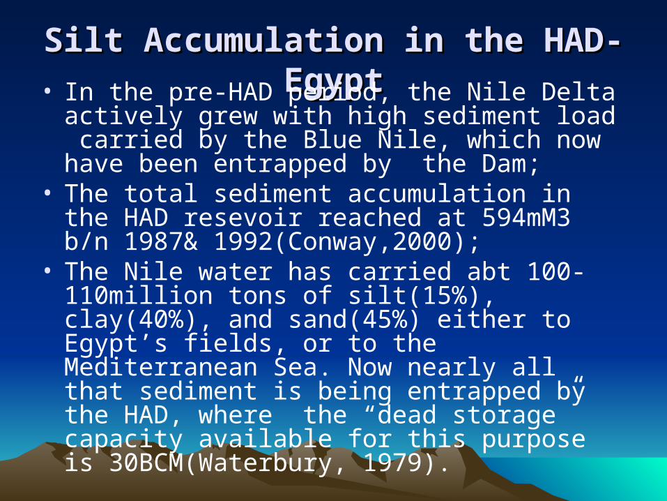
Silt Accumulation in the HAD-EgyptSilt Accumulation in the HAD-Egypt• In the pre-HAD period, the Nile Delta actively
grew with high sediment load carried by the Blue Nile, which now have been entrapped by the Dam;
• The total sediment accumulation in the HAD resevoir reached at 594mM3 b/n 1987& 1992(Conway,2000);
• The Nile water has carried abt 100-110million tons of silt(15%), clay(40%), and sand(45%) either to Egypt’s fields, or to the Mediterranean Sea. Now nearly all that sediment is being entrapped by the HAD, where the “dead storage” capacity available for this purpose is 30BCM(Waterbury, 1979).

Siltation of HAD cont.Siltation of HAD cont.• Prior to the construction of the Aswan High
Dam, the Nile discharged between 60 and 180 million tons of silt annually into the Mediterranean Sea. Since 1964, this amount of sediment has been held in the reservoir’ (Abu-zeid, 2003);
• Dead storage would be used up after 500 years on the assumption that the average silt load is 60mM3 (or 110 million tons) annually (Waterbury, 1979);
• But Presently, occurring siltation follows patterns that had not been initially anticipated;
• Because of the entrapping of silts behind, or by the HAD, the Egyptian lands below the dam are becoming poorer and poorer; silt in these lands has become a scarce resource (Waterbury, 1979).

4.Impacts of Land Degradation4.Impacts of Land Degradation
1. On-site impacts:
1.1. Impacts on production Land degradation affects agricultural
production in two major ways: 1st erosion results in loss of soil depth,
which in turn decreases the capacity of soils to hold water for plant growth;
2nd the use of animal dung & crop residues for fuel wood purposes disturbs the soil nutrient cycle & reduces plant production

Use of cow dung and crop residues for energy purposes

• In 1990 reduced soil depth, caused by erosion, resulted in a loss in grain production estimated at between 57,000 and 128,000 tons;
• This loss also reflects the impact of 1,000 to 2, 500 km2 of cropland going out of cultivation because the soil depth fell below a minimum critical level;
• The foregone production in the livestock sector resulting from soil erosion was estimated to be between 35,000 and 78,000 tropical livestock units (TLU);

• Together these losses represent financial losses of Birr 18 million - Birr 40 million (EFAP, 1994:48).
• Using the figure of 1 billion tons of soil lost per year in high land Ethiopia, Myers calculated that erosion accounts for a loss of crop out put of at least 1 million tons of grain, which is equivalent to two-thirds of all the relief food shipped to Ethiopia in 1985 (Myers, 1994);

1.2. Loss of biodiversity1.2. Loss of biodiversity• Ethiopia has diversified topography and climatic
zones; • Ethiopia is said to have one of the highest levels
of endemism in Africa;• Out of 5,770 species found in Ethiopia, 10% or
about 577 species are said to be endemic (Dept of Geog, AAU,2001);
• Highland Ethiopia is also one of the six cradles of primary plant domestication ( Shibru and Kifle, 1999);
• Out of 103 species of mammals and 832 species of birds, seven species of mammals and 25 species of birds are endemic to Ethiopia (Dept of Geog, 2001).

• But Ethiopia’s richness in biodiversity seems to be declining;
• Deforestation and its associated impact on land degradation has two-folded effects:
loss of plant species; and loss of primary habitats for animal
species and their ultimate extinction/ migration.

1.3. Drought intensification1.3. Drought intensification• Bare soil and rock reflect more solar radiation
back into the atmosphere than do grasses, shrubs and trees;
• Increased reflectivity (albedo) keeps the atmosphere warmer, disperses cloud and reduces rain;
• A general lowering of soil moisture could itself suppress rainfall;
• Rainfall problem in Ethiopia is not expected to improve as long as environmental degradation continues unabated( Getahun 2001);

• The frequency and magnitude of drought is increasing;
• In the past, Ethiopia used to face a drought in every 7 or 10 years only;
• Since the mid-20th century, Ethiopia has been experiencing a drought p/y (Meskir, 2000);
• In the 1970s and 1980s drought-affected population averaged to about 9.5%; during the 1990s, the average affected population increased to 11.6% (Tesfaye, 1999); around the beginning of 21st century=21%(FAO, 2003)

2. Off-site Impacts2. Off-site Impacts2.1.Impacts of Silt Accumulation: Sedimentation progressively impairs the
drainage system downstream, reduces the carrying capacity of the irrigation canals and increases the probability of floods;
The decrease in Roseires dam storage capacity has created:

Pbs in navigation, water quality, irrigation water supply, irrigation canal sedimentation, & reduction in hydropower generation (Ahmed et al.,2000);
The Gezira and other irrigation schemes using water from the Blue Nile and Tekeze/Atbara are facing serious pbs(El-Monshid et al.,1997; Conway, 2000);
The deposition of sediments in irrigation canals resulted in:

decreased canal capacities, difficulties in water deliveries, lost production, increased cut out areas and rising water
levels in canals, all of which make water control and distribution difficult (El- Monshid et al, 1997).
The annual removal of this sediment consumes over 50 percent of the operation and management budget in Sudan (Ahmed et al., 2000; Conway, 2000).

• Siltation of rivers also causes bank erosion with subsequent effects on the surrounding environment;
• Due to the sedimentation of the Atbara river, the river bed in 1988 overflowed its normal channel and penetrated protective embankments made round the city of Gedaref and inundated the entire system there;
• The main Nile’s approximate annual rate of erosion varies from 5 to 20 meters, and the areas lost vary from few hectares to several hundreds of hectares;

• Sudan also loses 800million USD per annum for flood mitigation (Mussa, 2003);
• The condition of sediment trapping by the HAD and its downstream impacts are summarized by Ahmed (2000) as follows:
erosion and land loss in the Mediterranean coastal area;
degradation of agricultural soil fertility downstream of the dam;
negative effects on fisheries in the Nile system and coastal lakes (Ahmed, 26 April 2000).
2.2. Impacts of Drought on the water 2.2. Impacts of Drought on the water supply of downstream countriessupply of downstream countries
• Low-level floods of the Nile river have serious negative economic repercussions in the lower riparian, Nile water dependent states;
• Even the HAD cannot afford Egypt total protections against an exceptionally long run of low floods such as occurred during the 1980s(Shapland, 1997);
• The water level behind the Aswan Dam fell from 170 m in 1979 to 150 m in 1988, threatening Egypt's hydroelectric power generation (NBI-SVP Coordination Project, 2006).
• Egypt was faced with an annual deficit of nearly 12BCM of water in 1988 with no alternative sources to bridge the gap (Warburg, 2000);
• After several years of drought in Ethiopia, the water level in Lake Nasser was reduced to an alarming level by early July 1988;
• Had the rains in Ethiopia continued to fail for another two months, the water would have dropped to 147 meters, halting the massive production of hydroelectric power from the Aswan Dam (Erlich,2002).

• In Sudan the 1980s drought had resulted in the:
failure of crops and loss of livestock lives; collapse of subsistence economies, which
in turn had tolled the lives of 250,000 people;
population displacement ( El-Zain,2000).
55. The Need for and Impediments to Co-. The Need for and Impediments to Co-operative Watershed Managementoperative Watershed Management
The Need for---• Land degradation & impacts; • Common pbs need common solution; • river basins act as a systemic whole; • environmental pbs are border
transcending; • to permanently secure and enhance
available water supply; live in a healthy environment; and ; to bring peace and prosperity to their people.
• unilateral actions and attempts to strengthen national institutions could not protect states from the impacts of border-transcending environmental degradation;
• Water supply security depends on the good management of watersheds, which in turn underscores co-operation among co-basin states;
• Without effective legal and institutional framework, water may be utilized through depletion, and each country may be left to the mercy of the actions of others in the basin.

Major Impediments to---
1.Unchanged Status quo: The current status quo is unfair b/c water
suppliers, (Ethiopia) utilize almost none while the lower riparian states which add little or nothing to the Nile’s water consume the entire water of the Nile river;
Under the terms of the 1959 Agreement, called the “Treaty for the Full Utilization of the Nile,” Egypt and Sudan divided the entire annual flow between them with 66% going to Egypt, 22% to Sudan, and the remaining 12% allocated to evaporation and seepage at the HAD reservoir (Waterbury and Whittington, 1998

• The 1959 Agreement defined a status quo set in absolute quantities;
• It constructed a classic Zero-sum situation: ceteris paribus, any gain in water to an upstream riparian must be a loss to lower basin states (Waterbury, 1996:8);
• The status quo virtually denied the riparian rights of other co-basin states.

2. Mutually exclusive doctrines:Water appropriation doctrine of the
lower riparian countries:“acquired &historical rights” droit acquis, or priority of appropriation of
the river's water that all other riparian states must honour (Waterbury, 1987);
while conducting hydro-politics with the co-basin states, Egypt has mostly stressed the triple doctrines of primary need, prior use, and acquired rights (Elhance, 1999).

Appropriation doctrine of the upper basin states:
Upstream countries hold to: "riparian" doctrine, as opposed to
"historical and natural rights" held by the downstream nations;
The fundamental principle of the riparian doctrine: “the owner of land bordering a water body acquires certain rights to use the water” (Getches, 1997)
3. Lack of confidence b/n up-& downstream countries.

6.Tendencies Towards Regional Co-6.Tendencies Towards Regional Co-operation: Breaking the Impasse?operation: Breaking the Impasse?
• Previous efforts to establish basin-wide co-operation:
Hydromet;UNDUGU;TECCONILE• The NBIEncompasses all the riparian states save
Eritrea;Has noble objectives, including the development
of the water resources of the Nile in a sustainable &equitable way.

Is a transitional negotiative framework believed to facilitate the realization of the principle of equitable distribution of the Nile’s water as stipulated in the D3-project;
Has the SVP & the SAP; However,The NBI projects are not fast moving;Project D3 does not seem moving forward
as well
So, is the stalemate being broken-down?
7. Conclusion 7. Conclusion • There is severe land degradation in the ENB;
• This has brought about impacts;
• Unless urgent and effective land conservation and watershed management measures are taken, food insecurity will continue to be a critical pb in the basin;
• Watershed management underscores cooperation;

• Although there are needs for cooperation, there are still impediments to it;
• Lasting cooperation hinges upon the establishment of legal and institutional framework that ensures water utilization rights for the upper basin countries;
• Although the NBI has brought riparian countries to the board, it has passed quite a no. of years at the preparation stage;
• At the same time, D3-project does not seem moving forward;
• The impasse is not completely broken-down.

Thank you for your listening!!